Awhirk Moss

Wood, Forest in Wigtownshire

Scotland

Awhirk Moss

Kirkmadrine Church (disused) This disused church is only just in this square located at NX080484. Housed in the old entrance to the church are some of the earliest Christian sculptured stones some of which date back to the 5th century.
Kirkmadrine Church (disused) Credit: Dave Smethurst

Awhirk Moss is a stunning woodland area located in Wigtownshire, Scotland. Spanning over several hectares, this picturesque forest is a nature lover's paradise. The moss is situated amidst rolling hills and is characterized by its dense foliage and rich biodiversity.

The woodland is predominantly made up of native Scottish trees, such as oak, birch, and rowan, which provide a natural habitat for a diverse range of flora and fauna. The forest floor is covered with a lush carpet of moss, adding to the area's enchanting beauty.

Awhirk Moss offers numerous walking trails and paths, allowing visitors to explore its hidden treasures. As you meander through the woodland, you may encounter charming wildlife, including red squirrels, roe deer, and a variety of bird species. The tranquil atmosphere and the soothing sound of birdsong make it an ideal spot for birdwatching enthusiasts.

The moss is also home to several small streams and ponds, which serve as watering holes for the local wildlife. These water features add to the overall serenity and provide a peaceful backdrop for picnics or simply enjoying the natural surroundings.

Awhirk Moss is a designated Site of Special Scientific Interest, owing to its exceptional biological and ecological value. The area is carefully managed to preserve its natural beauty and protect its unique ecosystem.

Visitors to Awhirk Moss can immerse themselves in the tranquility of nature, enjoying the breathtaking views and the diversity of wildlife that call this woodland home. Whether you are seeking solitude, a place for quiet reflection, or a chance to reconnect with nature, Awhirk Moss is an ideal destination.

If you have any feedback on the listing, please let us know in the comments section below.

Awhirk Moss Images

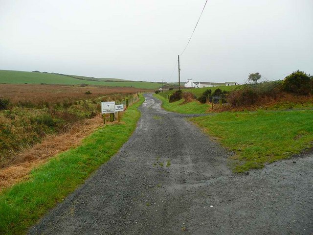
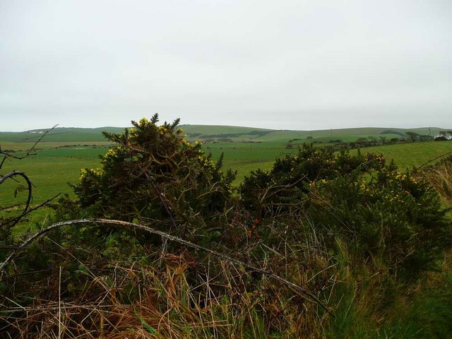
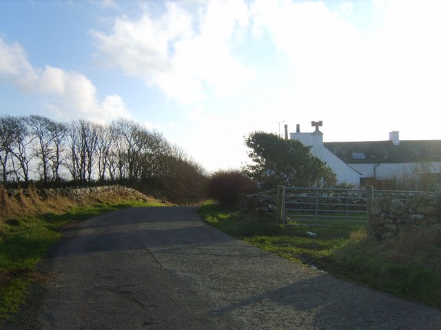
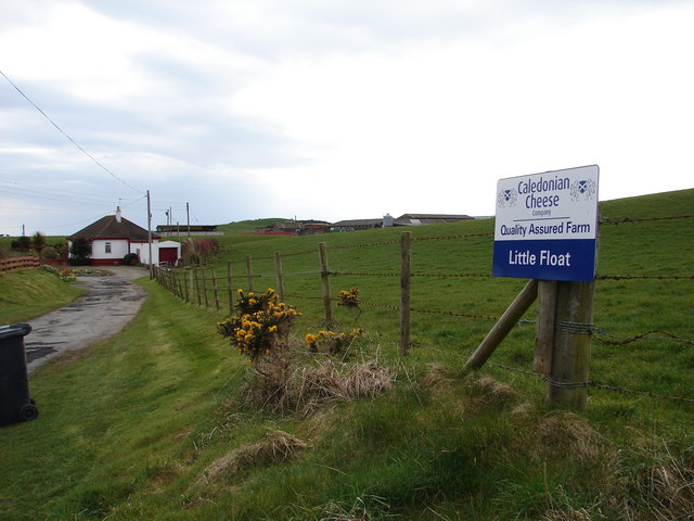
Images are sourced within 2km of 54.785037/-4.9818853 or Grid Reference NX0847. Thanks to Geograph Open Source API. All images are credited.

Kirkmadrine Church (disused) This disused church is only just in this square located at NX080484. Housed in the old entrance to the church are some of the earliest Christian sculptured stones some of which date back to the 5th century.
Kirkmadrine Church (disused)
This disused church is only just in this square located at NX080484. Housed in the old entrance to the church are some of the earliest Christian sculptured stones some of which date back to the 5th century.
The old schoolhouse at Clachanmore, Ardwell. The old schoolhouse situated at Clachanmore crossroads near Ardwell is the former schoolhouse for Ardwell. It was recently used as an Art gallery, but has since closed and is now a private house.
The old schoolhouse at Clachanmore, Ardwell.
The old schoolhouse situated at Clachanmore crossroads near Ardwell is the former schoolhouse for Ardwell. It was recently used as an Art gallery, but has since closed and is now a private house.
Kirkmadrine Church Probably the site of a monastery in the early Christian period and later of a medieval parish church, built as a burial chapel in the late 19th Century by Lady McTaggart Stewart of Ardwell.
Kirkmadrine Church
Probably the site of a monastery in the early Christian period and later of a medieval parish church, built as a burial chapel in the late 19th Century by Lady McTaggart Stewart of Ardwell.
Cross in Kirkmadrine Churchyard
Float Bay near Stoneykirk, Stranraer, Wigtownshire Another beautiful bay in Southwest Scotland.
Float Bay near Stoneykirk, Stranraer, Wigtownshire
Another beautiful bay in Southwest Scotland.
Cottages near the old school
Another view of the old school at Ardwell
Kirkmadrine Church This is no longer used as a church but it is the site of an early Christian community. The Kirkmadrine Stones are fine sculptured stones from the 5th century. They are displayed in a glass-fronted porch at the west of the church.
Kirkmadrine Church
This is no longer used as a church but it is the site of an early Christian community. The Kirkmadrine Stones are fine sculptured stones from the 5th century. They are displayed in a glass-fronted porch at the west of the church.
Church Porch, Kirkmadrine This is a glassed porch which contains early Christian stones [5th century]
Church Porch, Kirkmadrine
This is a glassed porch which contains early Christian stones [5th century]
West Ringuinea roadend The farm itself in the distance.
West Ringuinea roadend
The farm itself in the distance.
Low lying land near Meikle Float And the gorse in bloom in late November.
Low lying land near Meikle Float
And the gorse in bloom in late November.
Salt Pan Cottage This cottage was where salt was obtained by the evaporation of sea water
Salt Pan Cottage
This cottage was where salt was obtained by the evaporation of sea water
Farmhouse and Bones Plantation Rhins farmhouse on quiet country road
Farmhouse and Bones Plantation
Rhins farmhouse on quiet country road
Whitewashed Cottages on Quiet lane Two typical one storey cottages facing each other on a deserted country lane leading to the sea
Whitewashed Cottages on Quiet lane
Two typical one storey cottages facing each other on a deserted country lane leading to the sea
Stoneykirk Old Manse, Sandhead Old manse for the now disused Stoneykirk Free Church (in trees behind manse); both date from 1844. The buildings actually stand to the south of Sandhead at Lake Cottage junction.
Stoneykirk Old Manse, Sandhead
Old manse for the now disused Stoneykirk Free Church (in trees behind manse); both date from 1844. The buildings actually stand to the south of Sandhead at Lake Cottage junction.
Kirkmadrine Stones The 5th century Kirkmadrine Christian sculptured stones are displayed in the glass-fronted west porch of Kirkmadrine Church; they are under the care of Historic Scotland.
Kirkmadrine Stones
The 5th century Kirkmadrine Christian sculptured stones are displayed in the glass-fronted west porch of Kirkmadrine Church; they are under the care of Historic Scotland.
Toskerton Kirk Road Upper part of track (former Kirk Road) that originally led to the medieval Toskerton Parish Church, it was rebuilt on by Kirkmadrine Church <a href="https://www.geograph.org.uk/gridref/NX0848">NX0848</a>.
Toskerton Kirk Road
Upper part of track (former Kirk Road) that originally led to the medieval Toskerton Parish Church, it was rebuilt on by Kirkmadrine Church NX0848.
Little Float Farm Track from Little Float Cottages to Little Float Farm, sandwiched between Knockerrick and Knockmullin hills.
Little Float Farm
Track from Little Float Cottages to Little Float Farm, sandwiched between Knockerrick and Knockmullin hills.
Show me another place!

Awhirk Moss is located at Grid Ref: NX0847 (Lat: 54.785037, Lng: -4.9818853)

Unitary Authority: Dumfries and Galloway

Police Authority: Dumfries and Galloway

What 3 Words

///responded.gurgled.yachting. Near Drummore, Dumfries & Galloway

Related Wikis

Clachanmore

Clachanmore is a village in the South Rhins of Galloway near Ardwell in the south west of Scotland. It has also been known as Low Ardwell.The name of the...

Sandhead

Sandhead is a small village in Dumfries and Galloway, south west Scotland. It overlooks Luce Bay, 7 miles south of Stranraer. The old main road, named...

Ardwell

Ardwell (from Gaelic Àrd Bhaile meaning "high town", pronounced as "Ardwell") is a village in the Scottish unitary council area of Dumfries and Galloway...

Doon Castle Broch

Doon Castle Broch is an iron-age broch located in Dumfries and Galloway, Scotland (grid reference NX 06702 44683). == Location == The Broch is located...

Nearby Amenities

Located within 500m of 54.785037,-4.9818853
Place: farm
Lat/Long: 54.7874397/-4.98581
Power: pole
Lat/Long: 54.7826365/-4.9776569
Power: pole
Lat/Long: 54.7833093/-4.9776703
Power: pole
Lat/Long: 54.7846797/-4.9777991
Power: pole
Lat/Long: 54.7854654/-4.9778634
Power: pole
Lat/Long: 54.7860315/-4.9779439
Power: pole
Lat/Long: 54.7866347/-4.9780029
Power: pole
Lat/Long: 54.7870647/-4.9780351
Power: pole
Lat/Long: 54.7875534/-4.9780673
Power: pole
Lat/Long: 54.7881473/-4.9781585
Power: pole
Lat/Long: 54.7888339/-4.978196
Power: pole
Lat/Long: 54.7847464/-4.9889078
Power: pole
Lat/Long: 54.7841345/-4.9883349
Power: pole
Lat/Long: 54.7834765/-4.9877105
Power: pole
Lat/Long: 54.7827225/-4.9869968
Power: pole
Lat/Long: 54.7820144/-4.9863465
Power: pole
Lat/Long: 54.7813334/-4.9856939
The data included in this document is from www.openstreetmap.org. The data is made available under ODbL.

Have you been to Awhirk Moss?

Leave your review of Awhirk Moss below (or comments, questions and feedback).