Chapelton Wood
Wood, Forest in Buteshire
Scotland
Chapelton Wood
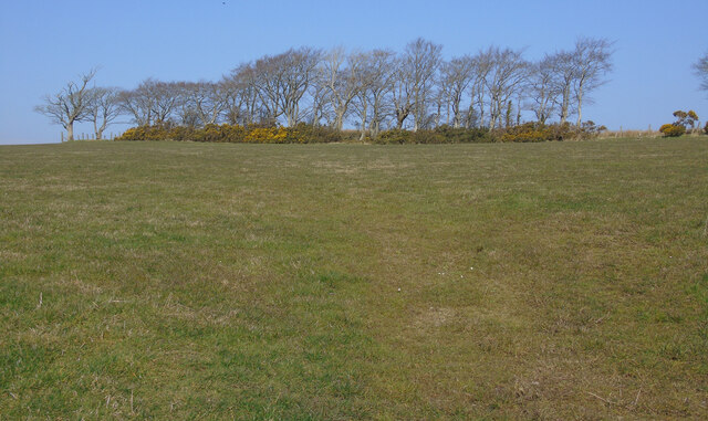
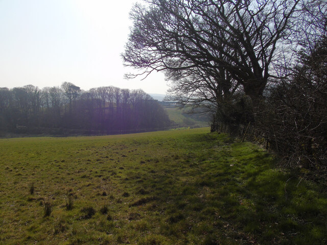
Chapelton Wood is a picturesque woodland located in the region of Buteshire, Scotland. Situated on the outskirts of Chapelton village, this forested area spans over 100 acres, providing a serene and tranquil escape for nature enthusiasts and hikers alike.
The wood is predominantly composed of a diverse range of deciduous and coniferous trees, including oak, beech, pine, and spruce. This mix of tree species creates an enchanting and varied landscape, with a vibrant display of colors during the autumn months. The wood is well-maintained, with clear pathways and trails that meander through the forest, making it easily accessible for visitors of all ages and abilities.
Wildlife thrives within Chapelton Wood, with a wealth of species inhabiting its rich ecosystem. Birdwatchers can spot various avian species, such as woodpeckers, owls, and thrushes, while small mammals like red squirrels, rabbits, and voles can often be seen scurrying through the undergrowth. During spring, the forest floor is adorned with a stunning array of wildflowers, adding to the natural beauty of the surroundings.
Chapelton Wood is not only a haven for nature lovers but also holds historical significance. Ruins of an ancient chapel, dating back to the 12th century, can be found hidden within the depths of the woodland. These remnants serve as a reminder of the area's past and provide an intriguing glimpse into the region's cultural heritage.
Overall, Chapelton Wood offers a wonderful opportunity to explore and immerse oneself in the beauty of nature. Whether it be for a leisurely stroll, birdwatching, or historical exploration, this woodland sanctuary provides a rejuvenating experience for all who visit.
If you have any feedback on the listing, please let us know in the comments section below.
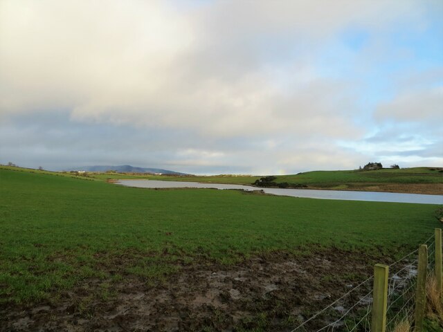
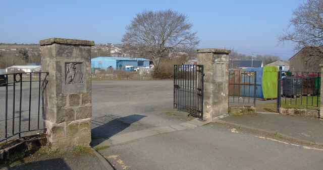
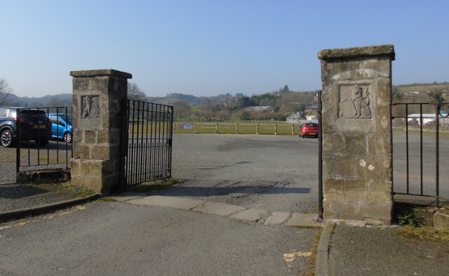
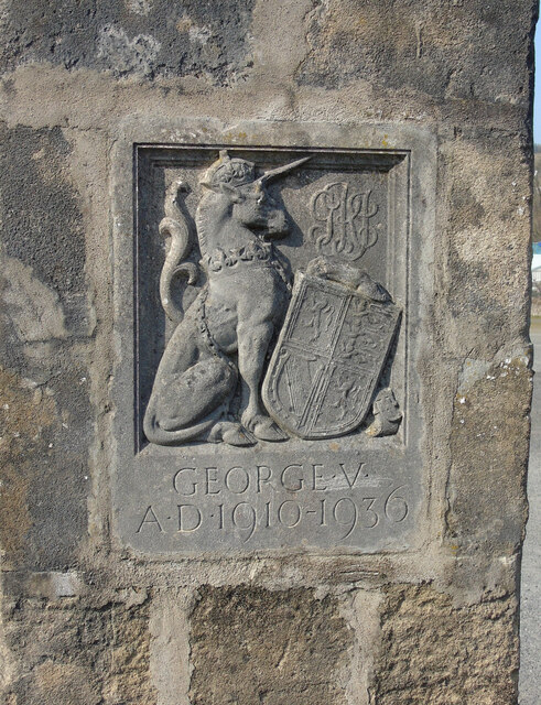
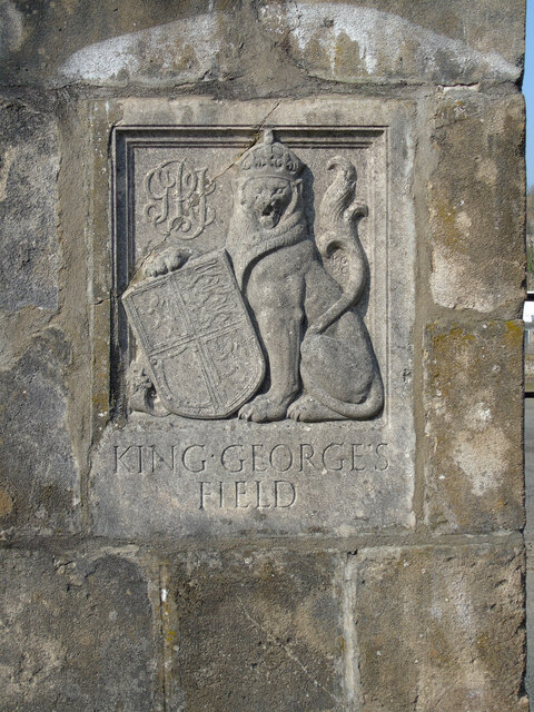
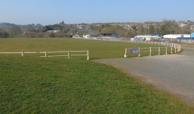
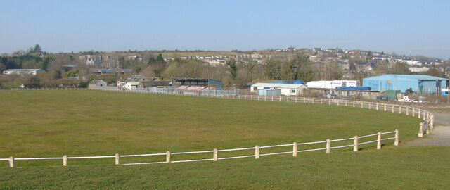
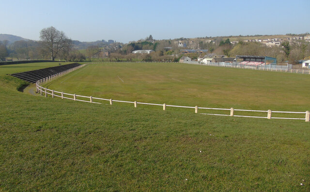
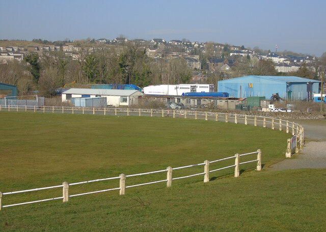
Chapelton Wood Images
Images are sourced within 2km of 55.822393/-5.0694775 or Grid Reference NS0763. Thanks to Geograph Open Source API. All images are credited.

Chapelton Wood is located at Grid Ref: NS0763 (Lat: 55.822393, Lng: -5.0694775)
Unitary Authority: Argyll and Bute
Police Authority: Argyll and West Dunbartonshire
What 3 Words
///gratitude.reception.increased. Near Rothesay, Argyll & Bute
Nearby Locations
Related Wikis

Kirk Dam
Kirk Dam is an impounding dam, located 1.5 kilometres south of Rothesay, and is separated by a causeway from the much larger Loch Fad to the south-west...

Rothesay Academy
Rothesay Academy is a secondary school in the town of Rothesay on the Isle of Bute. == Feeder schools == Rothesay Academy has 3 associated primary schools...

Victoria Hospital, Rothesay
Victoria Hospital is a health facility in High Street, Rothesay, Scotland. It is managed by NHS Highland. == History == The facility has its origins in...

West Island Way
The West Island Way is a waymarked long distance footpath on the Isle of Bute. The route opened in September 2000 as part of Bute's millennium celebrations...

Loch Ascog
Loch Ascog is a small reservoir on the east coast of the island of Bute, in the council area of Argyll and Bute, Scotland. The loch supplies water to the...

Rothesay
Rothesay ( ROTH-see; Scottish Gaelic: Baile Bhòid [ˈpalə ˈvɔːtʲ]) is the principal town on the Isle of Bute, in the council area of Argyll and Bute, Scotland...

Rothesay Town Hall and County Buildings
Rothesay Town Hall and County Buildings is a former municipal building in Castle Street, Rothesay, Scotland. The structure, which was the meeting place...
Loch Fad
Loch Fad is a freshwater loch on the Isle of Bute in Scotland. Its name means "long loch" in Scottish Gaelic. It lies on the Highland Boundary Fault. Its...
Nearby Amenities
Located within 500m of 55.822393,-5.0694775Have you been to Chapelton Wood?
Leave your review of Chapelton Wood below (or comments, questions and feedback).