Big Plantation

Wood, Forest in Wigtownshire

Scotland

Big Plantation

Stranraer Ambulance Station At Fountain Way on Blackparks Industrial Estate.
Stranraer Ambulance Station Credit: Billy McCrorie

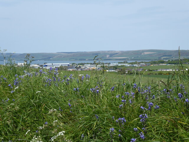
Big Plantation, located in Wigtownshire, is a sprawling woodland area known for its dense forest and diverse ecosystem. Covering an extensive area of approximately 500 acres, it is a significant natural landmark in the region.

The plantation primarily consists of a mixture of broadleaf and coniferous trees, creating a rich tapestry of greenery. The dominant tree species include oak, beech, pine, and spruce, providing an ideal habitat for a wide range of flora and fauna. The forest floor is adorned with a vibrant carpet of mosses, ferns, and wildflowers, adding to its natural beauty.

Walking through Big Plantation, one can witness the awe-inspiring beauty of nature. The towering trees create a serene and peaceful atmosphere, with sunlight filtering through the canopy, casting enchanting shadows on the forest floor. The plantation is home to various wildlife species, such as deer, foxes, badgers, and a myriad of bird species. Nature enthusiasts and birdwatchers flock to the area to observe and appreciate the diverse avian population.

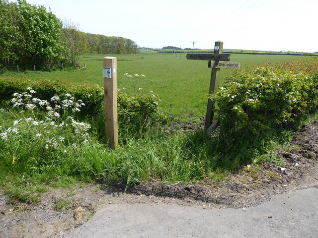
Big Plantation offers an array of recreational activities for visitors. The well-marked trails provide opportunities for hiking, jogging, and cycling, allowing visitors to explore the plantation at their own pace. Additionally, the forest serves as an ideal spot for picnics and nature walks, providing an escape from the hustle and bustle of everyday life.

Overall, Big Plantation in Wigtownshire is a captivating woodland area, offering a unique blend of natural beauty and recreational opportunities. Its rich biodiversity and tranquil ambiance make it a cherished destination for nature lovers and outdoor enthusiasts alike.

If you have any feedback on the listing, please let us know in the comments section below.

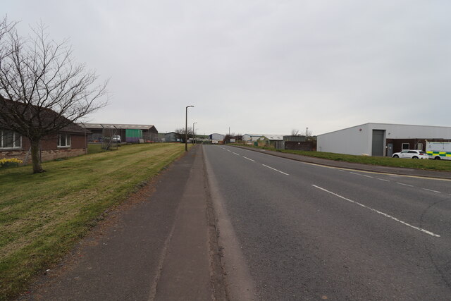
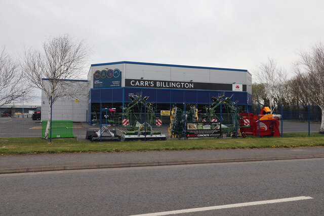
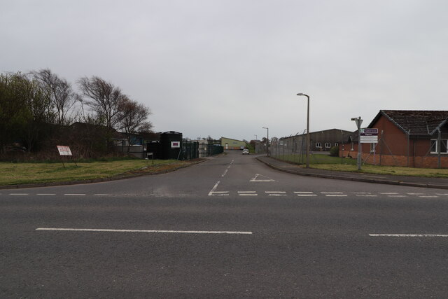
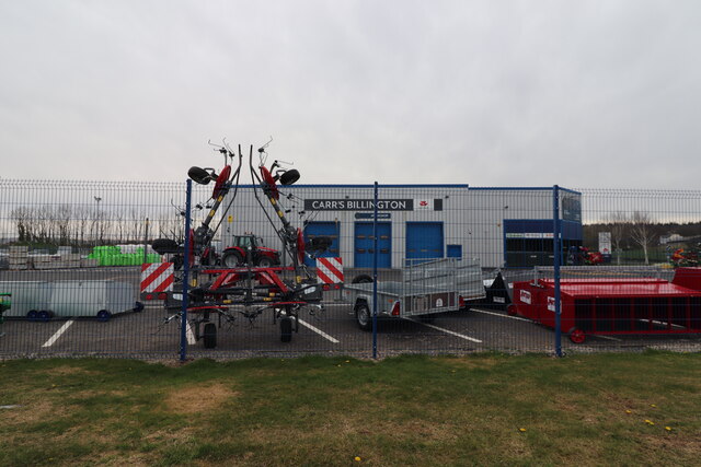
Big Plantation Images

Images are sourced within 2km of 54.891886/-4.9984368 or Grid Reference NX0759. Thanks to Geograph Open Source API. All images are credited.

Stranraer Ambulance Station At Fountain Way on Blackparks Industrial Estate.
Stranraer Ambulance Station
At Fountain Way on Blackparks Industrial Estate.
Carr's Billington, Stranraer Country Store and Machinery at Fountain Way on Blackparks Industrial Estate.
Carr's Billington, Stranraer
Country Store and Machinery at Fountain Way on Blackparks Industrial Estate.
Fountain Way, Stranraer Just off Commerce Road on Blackparks Industrial Estate.
Fountain Way, Stranraer
Just off Commerce Road on Blackparks Industrial Estate.
Commerce Road, Stranraer From the junction with Fountain Way on Blackparks Industrial Estate.
Commerce Road, Stranraer
From the junction with Fountain Way on Blackparks Industrial Estate.
Commerce Road, Stranraer From the junction with Fountain Way on Blackparks Industrial Estate. On the mid right is Stranraer Ambulance Station.
Commerce Road, Stranraer
From the junction with Fountain Way on Blackparks Industrial Estate. On the mid right is Stranraer Ambulance Station.
Carr's Billington, Stranraer Country Store and Machinery at Fountain Way on Blackparks Industrial Estate. Viewed from Commerce Road.
Carr's Billington, Stranraer
Country Store and Machinery at Fountain Way on Blackparks Industrial Estate. Viewed from Commerce Road.
Woodlea Road, Stranraer Just off Commerce Road on Blackparks Industrial Estate.
Woodlea Road, Stranraer
Just off Commerce Road on Blackparks Industrial Estate.
Carr's Billington, Stranraer Country Store and Machinery at Fountain Way on Blackparks Industrial Estate.
Carr's Billington, Stranraer
Country Store and Machinery at Fountain Way on Blackparks Industrial Estate.
Dingbro Ltd, Stranraer At Fountain Way on Blackparks Industrial Estate. Wholesale Distributor of Motor Components.
Dingbro Ltd, Stranraer
At Fountain Way on Blackparks Industrial Estate. Wholesale Distributor of Motor Components.
Solo Garage, Stranraer On the Stoneykirk Road and viewed from the Lidl car park.
Solo Garage, Stranraer
On the Stoneykirk Road and viewed from the Lidl car park.
Solo Garage, Stranraer On the Stoneykirk Road opposite Lidl. Viewed in late December (30th).
Solo Garage, Stranraer
On the Stoneykirk Road opposite Lidl. Viewed in late December (30th).
The Southern Upland Way near Whiteleys
The Southern Upland Way near Black Stank
The Southern Upland Way near Culhorn Mains
The Southern Upland Way near Barrack Hill Wood
Show me another place!

Big Plantation is located at Grid Ref: NX0759 (Lat: 54.891886, Lng: -4.9984368)

Unitary Authority: Dumfries and Galloway

Police Authority: Dumfries and Galloway

What 3 Words

///playback.trousers.rubble. Near Stranraer, Dumfries & Galloway

Related Wikis

Stair Park

Stair Park is a public park and football stadium in the town of Stranraer, Scotland and is the home of Stranraer F.C. It is owned by Dumfries and Galloway...

Stranraer Town railway station

Stranraer Town railway station, located in Wigtownshire, Scotland, served the town of Stranraer and was a station on the Portpatrick and Wigtownshire Joint...

Galloway Community Hospital

The Galloway Community Hospital is a small hospital in Stranraer, Galloway, Scotland. It is managed by NHS Dumfries and Galloway. == History == The hospital...

Aird, Dumfries and Galloway

Aird (Gaelic:An Àird) is a village in Dumfries and Galloway, in the southwest of Scotland. It is 2.5 miles (4.0 km) east of Stranraer and 1 mile (1.6 km...

Nearby Amenities

Located within 500m of 54.891886,-4.9984368
Power: pole
Lat/Long: 54.8959905/-4.9963117
Power: pole
Lat/Long: 54.8954661/-4.9940211
Power: pole
Lat/Long: 54.8952548/-4.9944502
Power: pole
Lat/Long: 54.8955193/-4.9957082
Power: pole
Lat/Long: 54.89579/-4.9969272
Power: pole
Lat/Long: 54.896053/-4.9981302
Power: pole
Lat/Long: 54.8963005/-4.9992889
Power: pole
Lat/Long: 54.8959134/-5.0009894
Power: pole
Lat/Long: 54.8952578/-4.9992406
Power: pole
Lat/Long: 54.8948028/-4.9980819
Power: pole
Lat/Long: 54.8944403/-4.9970546
Power: pole
Lat/Long: 54.8938619/-4.9960595
Power: pole
Lat/Long: 54.8932834/-4.9950644
Power: pole
Lat/Long: 54.8926818/-4.9939567
Power: pole
Lat/Long: 54.8915789/-4.9920201
Power: pole
Lat/Long: 54.890985/-4.990966
Power: pole
Lat/Long: 54.8890435/-5.0031948
Power: pole
Lat/Long: 54.8895323/-5.0027065
Power: pole
Lat/Long: 54.8900204/-5.0022369
The data included in this document is from www.openstreetmap.org. The data is made available under ODbL.

Have you been to Big Plantation?

Leave your review of Big Plantation below (or comments, questions and feedback).