Loomknowes Wood

Wood, Forest in Ayrshire

Scotland

Loomknowes Wood

Stubble field The harvest is done, and there are distant sounds of baling the straw. Just visible are some of the great flock of birds gleaning the remains of the crop.
Stubble field Credit: Jonathan Wilkins

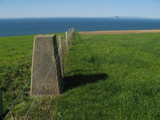
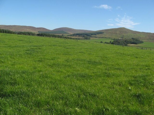
Loomknowes Wood is a picturesque woodland located in Ayrshire, Scotland. Spanning over a vast area, this enchanting forest offers a tranquil retreat for nature lovers and outdoor enthusiasts alike. The wood is nestled on the southern slopes of the Carrick Hills, providing a stunning backdrop of rolling hills and breathtaking views.

The wood is predominantly composed of native broadleaf trees, such as oak, birch, and beech, creating a rich and diverse ecosystem. The dense canopy formed by these trees provides a habitat for a wide range of wildlife, including various bird species, small mammals, and insects. The forest floor is adorned with a carpet of ferns, wildflowers, and mosses, adding to its natural beauty.

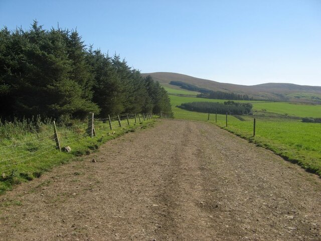
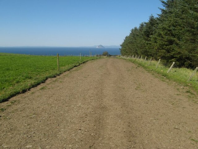
Visitors to Loomknowes Wood can explore the numerous walking trails that wind their way through the woodland. These paths cater to all levels of fitness and offer opportunities for leisurely strolls or more challenging hikes. Along the way, visitors can encounter charming wooden sculptures and informative signs that provide insights into the local flora and fauna.

Photographers also flock to Loomknowes Wood to capture the stunning scenery and capture the changing seasons. In the spring, the woodland bursts into life with vibrant blossoms and a chorus of birdsong. During the autumn months, the forest is transformed into a kaleidoscope of warm hues as the leaves change color.

Loomknowes Wood is not only a haven for wildlife and a treat for the senses, but it also serves as an important recreational and educational resource for the local community. It provides a peaceful escape from the hustle and bustle of everyday life, inviting visitors to immerse themselves in the beauty of nature.

If you have any feedback on the listing, please let us know in the comments section below.

Loomknowes Wood Images

Images are sourced within 2km of 55.059568/-5.0136002 or Grid Reference NX0778. Thanks to Geograph Open Source API. All images are credited.

Stubble field The harvest is done, and there are distant sounds of baling the straw. Just visible are some of the great flock of birds gleaning the remains of the crop.
Stubble field
The harvest is done, and there are distant sounds of baling the straw. Just visible are some of the great flock of birds gleaning the remains of the crop.
Farming landscape A view over stubble to Meadow Park and Craigalbert farms.
Farming landscape
A view over stubble to Meadow Park and Craigalbert farms.
Turning the straw Turning barley straw and rowing-up for baling.
Turning the straw
Turning barley straw and rowing-up for baling.
Trig point with fence The triangulation pillar at Girlaverie, which affords a fine view of Ailsa Craig.
Trig point with fence
The triangulation pillar at Girlaverie, which affords a fine view of Ailsa Craig.
Farmed grassland I once heard a commentator refer to the 'emerald desert' of the intensively-cropped grasslands which support beef and dairy cows in southwest Scotland. I get the point, and the ecology is not diverse. Distant, heather moorland on gentle hills provides a contrast.
Farmed grassland
I once heard a commentator refer to the 'emerald desert' of the intensively-cropped grasslands which support beef and dairy cows in southwest Scotland. I get the point, and the ecology is not diverse. Distant, heather moorland on gentle hills provides a contrast.
Cow track (1) Running alongside a conifer plantation is one of many local walking routes for cows to take themselves to milking parlours, guided by fringing electric fences. The track is descending towards the glen of the Ballochdowan Burn.
Cow track (1)
Running alongside a conifer plantation is one of many local walking routes for cows to take themselves to milking parlours, guided by fringing electric fences. The track is descending towards the glen of the Ballochdowan Burn.
Cow track (2) Looking northward to Ailsa Craig along a cattle walking route. See also <a href="https://www.geograph.org.uk/photo/7611731">NX0778 : Cow track (1)</a>.
Cow track (2)
Looking northward to Ailsa Craig along a cattle walking route. See also NX0778 : Cow track (1).
Hawthorn hedge Hedges are not common in this wide, cow-dominated landscape so it is nice to see hawthorn with a good crop of berries.
Hawthorn hedge
Hedges are not common in this wide, cow-dominated landscape so it is nice to see hawthorn with a good crop of berries.
Girlaverie trig Looking SW from position
Girlaverie trig
Looking SW from position
Sheep in a turnip field Looking SE from position
Sheep in a turnip field
Looking SE from position
Currarie Glen and Farm Looking up Currarie Glen with farm on crest of hill
Currarie Glen and Farm
Looking up Currarie Glen with farm on crest of hill
Wild goats on coastal hillside Part of herd of wild goats who roam free along the coastal hillside from Finnarts bay to Downan shore. Quite difficult to find as they have a large grazing area , sometimes they are spotted from the A77 Stranraer -Ayr road high on the Glenapp hillside. Young kids were amongst the herd but had disappeared round the corner
Wild goats on coastal hillside
Part of herd of wild goats who roam free along the coastal hillside from Finnarts bay to Downan shore. Quite difficult to find as they have a large grazing area , sometimes they are spotted from the A77 Stranraer -Ayr road high on the Glenapp hillside. Young kids were amongst the herd but had disappeared round the corner
View towards entrance to  Loch Ryan ( wild goats on hillside )
View towards entrance to Loch Ryan ( wild goats on hillside )
Memorial stone to Robert Cunningham, postman This memorial on Killantringan Moor was to a postman who perished in a snowstorm in 1908. It has since been refurbished by the Communication Workers Union.
Memorial stone to Robert Cunningham, postman
This memorial on Killantringan Moor was to a postman who perished in a snowstorm in 1908. It has since been refurbished by the Communication Workers Union.
View from west of Monument to Robert Cunningham Postman View of monument with the hills beyond the A77 looking eastward
View from west of Monument to Robert Cunningham Postman
View of monument with the hills beyond the A77 looking eastward
Snowscene near Low Ballochdowan View of animals in field. Wooded hill in far background has been recently felled.
Snowscene near Low Ballochdowan
View of animals in field. Wooded hill in far background has been recently felled.
Icicles in the burn near Low Ballochdowan
Kilantringan Loch Viewed from the Currarie Glen road in late April.
Kilantringan Loch
Viewed from the Currarie Glen road in late April.
Show me another place!

Loomknowes Wood is located at Grid Ref: NX0778 (Lat: 55.059568, Lng: -5.0136002)

Unitary Authority: South Ayrshire

Police Authority: Ayrshire

What 3 Words

///usage.swerves.shrubbery. Near Cairnryan, Dumfries & Galloway

Related Wikis

Glenapp Castle

Glenapp Castle, formerly the family seat of the Earl of Inchcape, is now a luxury hotel and restaurant located about 1+1⁄2 miles (2.5 kilometres) southeast...

Ballantrae

Ballantrae is a community in Carrick, South Ayrshire, Scotland. The name probably comes from the Scottish Gaelic Baile na Tràgha, meaning the "town by...

River Stinchar

The River Stinchar ( STIN-shər) is a river in South Ayrshire, Scotland. It flows south west from the Galloway Forest Park to enter the Firth of Clyde at...

Ballantrae Windmill

The Ballantrae Windmill, on Mill Hill was a late 17th or early 18th century vaulted tower windmill, the ruins of which are located above the old raised...

Nearby Amenities

Located within 500m of 55.059568,-5.0136002
Power: pole
Lat/Long: 55.0586598/-5.0063506
Power: pole
Lat/Long: 55.0583231/-5.0073759
Power: pole
Lat/Long: 55.0579513/-5.0085706
Power: pole
Lat/Long: 55.057554/-5.0097841
Power: pole
Lat/Long: 55.0573385/-5.0104543
The data included in this document is from www.openstreetmap.org. The data is made available under ODbL.

Have you been to Loomknowes Wood?

Leave your review of Loomknowes Wood below (or comments, questions and feedback).