Kames Hill Plantation

Wood, Forest in Buteshire

Scotland

Kames Hill Plantation

Former Rothesay and Ettrick Bay Light Railway depot Now used by West Coast Motors
Former Rothesay and Ettrick Bay Light Railway depot Credit: Andrew Abbott

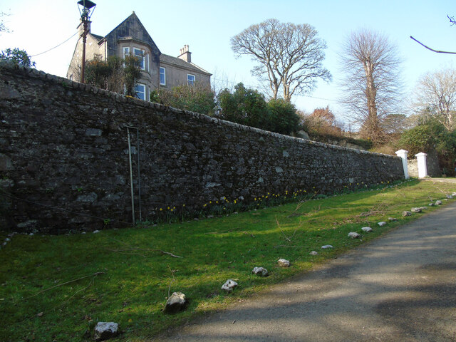
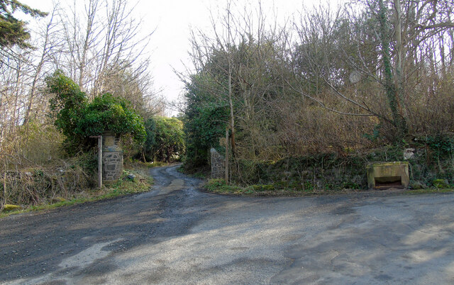
Kames Hill Plantation is a picturesque woodland area located in the region of Buteshire, Scotland. Covering an expansive area, the plantation is renowned for its lush greenery, diverse range of flora and fauna, and its captivating natural beauty.

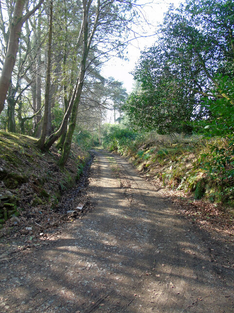
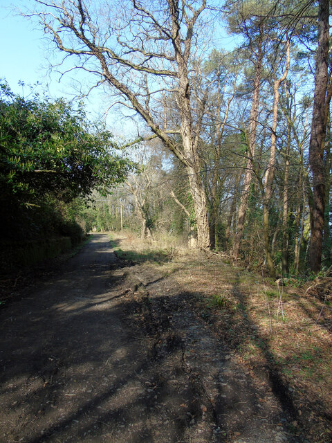
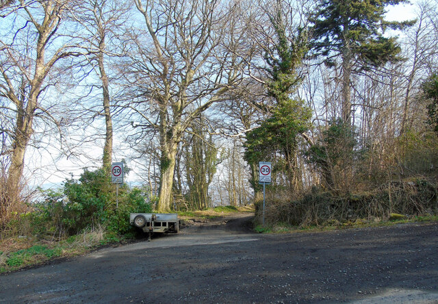
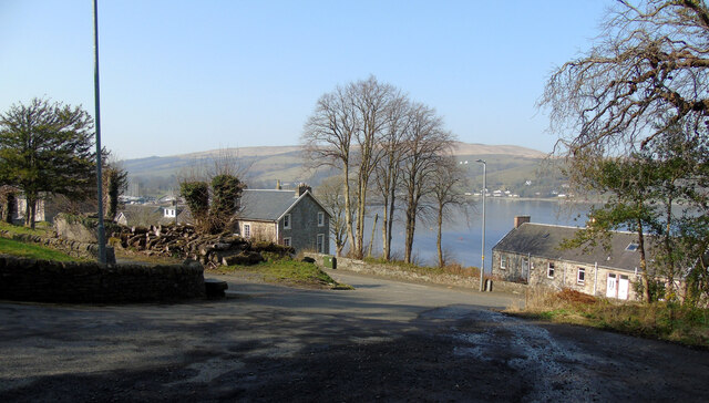
The plantation is predominantly composed of dense woodlands, with towering trees creating a canopy that provides shade and shelter to a variety of wildlife. Flanking the eastern coast of the Kyles of Bute, the plantation offers breathtaking views of the surrounding landscape and the shimmering waters of the Kyles.

Kames Hill Plantation boasts an impressive array of tree species, including oak, beech, ash, and birch, among others. The rich diversity of the plantation's vegetation provides a habitat for numerous animal species, including deer, foxes, badgers, and a wide variety of birds. Nature enthusiasts and birdwatchers are particularly drawn to this area, as it offers the opportunity to observe and appreciate the local wildlife in their natural habitat.

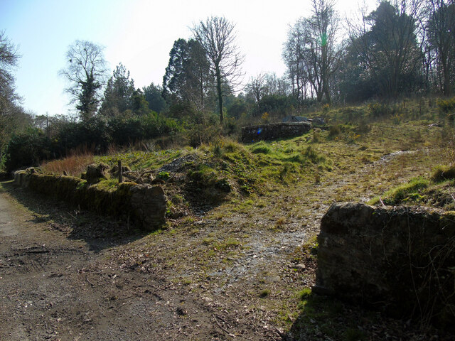
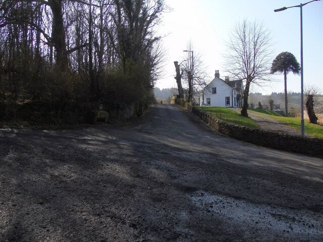
The plantation also features well-maintained trails and paths that wind through the woodland, allowing visitors to explore and immerse themselves in the tranquil surroundings. These paths provide an excellent opportunity for hiking, walking, and cycling, attracting outdoor enthusiasts and nature lovers alike.

Kames Hill Plantation is not only a haven for nature enthusiasts but also serves as an important resource for the local community. It provides a sustainable source of timber and contributes to the conservation of the area's natural biodiversity.

Overall, Kames Hill Plantation in Buteshire is a captivating and diverse woodland area, offering a wealth of natural beauty, wildlife, and recreational opportunities for visitors to enjoy and appreciate.

If you have any feedback on the listing, please let us know in the comments section below.

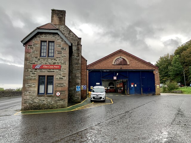
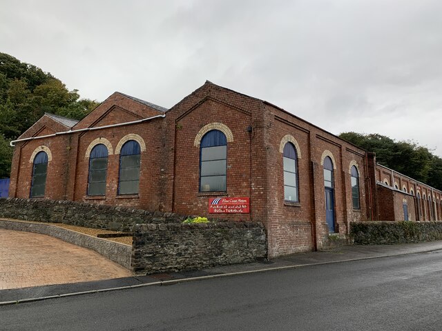
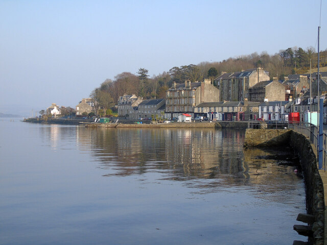
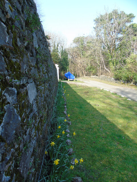
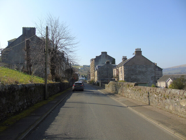
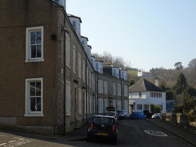
Kames Hill Plantation Images

Images are sourced within 2km of 55.856319/-5.0774124 or Grid Reference NS0766. Thanks to Geograph Open Source API. All images are credited.

Former Rothesay and Ettrick Bay Light Railway depot Now used by West Coast Motors
Former Rothesay and Ettrick Bay Light Railway depot
Now used by West Coast Motors
Former Rothesay and Ettrick Bay Light Railway depot Now used by West Coast Motors.
Former Rothesay and Ettrick Bay Light Railway depot
Now used by West Coast Motors.
Port Bannatyne Basking in pleasantly warm March sunshine.
Port Bannatyne
Basking in pleasantly warm March sunshine.
Hydro Road, Port Bannatyne Near the end of the tarmac road at Rhoda, which is behind the wall on the left. The road continues as a dirt track to join Castle Road.
Hydro Road, Port Bannatyne
Near the end of the tarmac road at Rhoda, which is behind the wall on the left. The road continues as a dirt track to join Castle Road.
Port Bannatyne The A844 Ardbeg Road is to the left, Wyndham Road to the right. A VR pillar box stands on the corner, with a red phone box to the right, outside the former Post Office.

See the pillar box <a href="https://www.geograph.org.uk/photo/7138438">NS0866 : VR pillar box on Ardbeg Road</a>.
Port Bannatyne
The A844 Ardbeg Road is to the left, Wyndham Road to the right. A VR pillar box stands on the corner, with a red phone box to the right, outside the former Post Office. See the pillar box NS0866 : VR pillar box on Ardbeg Road.
VR pillar box on Ardbeg Road At the corner of Wyndham Road <a href="https://www.geograph.org.uk/photo/7138436">NS0866 : Port Bannatyne</a>.
VR pillar box on Ardbeg Road
At the corner of Wyndham Road NS0866 : Port Bannatyne.
Dirt road off Hydro Road On the hill above Port Ardbeg.
Dirt road off Hydro Road
On the hill above Port Ardbeg.
Hydro Road A dirt road which runs parallel to the A844 Ardbeg Road on the hill above Ardbeg.
Hydro Road
A dirt road which runs parallel to the A844 Ardbeg Road on the hill above Ardbeg.
Rhoda On Hydro Road, above Ardbeg.
Rhoda
On Hydro Road, above Ardbeg.
Former garden off Hydro Road This appears to be the remains of a formal garden of the Kyles of Bute Hydro Hotel which stood slightly west of here.
Former garden off Hydro Road
This appears to be the remains of a formal garden of the Kyles of Bute Hydro Hotel which stood slightly west of here.
Former St Ninian's Church, Port Bannatyne The fairly large scale of the building can be appreciated from this viewpoint on Hydro Road (at certain times of year). See the view of the church from the opposite direction at ground level <a href="https://www.geograph.org.uk/photo/5860115">NS0767 : St Ninian's Church, Port Bannatyne</a>.

The building changed ownership in early 2020 <span class="nowrap"><a title="https://stninianschurchbute.co.uk/" rel="nofollow ugc noopener" href="https://stninianschurchbute.co.uk/">Link</a><img style="margin-left:2px;" alt="External link" title="External link - shift click to open in new window" src="https://s1.geograph.org.uk/img/external.png" width="10" height="10"/></span> .

Category B Listed <span class="nowrap"><a title="http://portal.historicenvironment.scot/designation/LB45068" rel="nofollow ugc noopener" href="http://portal.historicenvironment.scot/designation/LB45068">Link</a><img style="margin-left:2px;" alt="External link" title="External link - shift click to open in new window" src="https://s1.geograph.org.uk/img/external.png" width="10" height="10"/></span> .
Former St Ninian's Church, Port Bannatyne
The fairly large scale of the building can be appreciated from this viewpoint on Hydro Road (at certain times of year). See the view of the church from the opposite direction at ground level NS0767 : St Ninian's Church, Port Bannatyne. The building changed ownership in early 2020 LinkExternal link . Category B Listed LinkExternal link .
Bannatyne mains Road On the hill above Port bannatyne at Hydro Road. The house is Ardentigh, which is Category C Listed <span class="nowrap"><a title="http://portal.historicenvironment.scot/designation/LB45044" rel="nofollow ugc noopener" href="http://portal.historicenvironment.scot/designation/LB45044">Link</a><img style="margin-left:2px;" alt="External link" title="External link - shift click to open in new window" src="https://s1.geograph.org.uk/img/external.png" width="10" height="10"/></span> .
Bannatyne mains Road
On the hill above Port bannatyne at Hydro Road. The house is Ardentigh, which is Category C Listed LinkExternal link .
Gateposts at Former Hydro hotel At the entrance to the now demolished former Kyles of Bute Hydro Hotel at Bannatyne Mains Road. A lodge house once stood to the right.

See also <a href="https://www.geograph.org.uk/photo/7139021">NS0767 : Gatepost at former Hydro Hotel</a>.
Gateposts at Former Hydro hotel
At the entrance to the now demolished former Kyles of Bute Hydro Hotel at Bannatyne Mains Road. A lodge house once stood to the right. See also NS0767 : Gatepost at former Hydro Hotel.
Gatepost at former Hydro Hotel A thistle carves in sandstone, one of a pair at the entrance to the now demolished former Kyles of Bute Hydro Hotel at Bannatyne Mains Road. 

See also <a href="https://www.geograph.org.uk/photo/7139019">NS0767 : Gateposts at Former Hydro hotel</a>.
Gatepost at former Hydro Hotel
A thistle carves in sandstone, one of a pair at the entrance to the now demolished former Kyles of Bute Hydro Hotel at Bannatyne Mains Road. See also NS0767 : Gateposts at Former Hydro hotel.
Entrance to Hydro Road 30mph restriction signs at the west end of Hydro Road at Bannatyne Mains Road, marking the end of a 20mph zone.
Entrance to Hydro Road
30mph restriction signs at the west end of Hydro Road at Bannatyne Mains Road, marking the end of a 20mph zone.
Bannatyne Mains Road At Hydro Road and Castle Street, which is in the background. Kames Bay in the distance.
Bannatyne Mains Road
At Hydro Road and Castle Street, which is in the background. Kames Bay in the distance.
Castle Street, Port Bannatyne Looking west near Bannatyne Mains Road.
Castle Street, Port Bannatyne
Looking west near Bannatyne Mains Road.
Castle Street, Port bannatyne West of Quay Street, which is in the foreground.
Castle Street, Port bannatyne
West of Quay Street, which is in the foreground.
Show me another place!

Kames Hill Plantation is located at Grid Ref: NS0766 (Lat: 55.856319, Lng: -5.0774124)

Unitary Authority: Argyll and Bute

Police Authority: Argyll and West Dunbartonshire

What 3 Words

///gazette.palaces.tiredness. Near Port Bannatyne, Argyll & Bute

Nearby Locations

Kames Hill Plantation

Related Wikis

HMS Varbel

HMS Varbel was a Royal Navy shore establishment during World War II, used as a base for Operation Source. It was in the luxury 88-bedroomed Kyles Hydro...
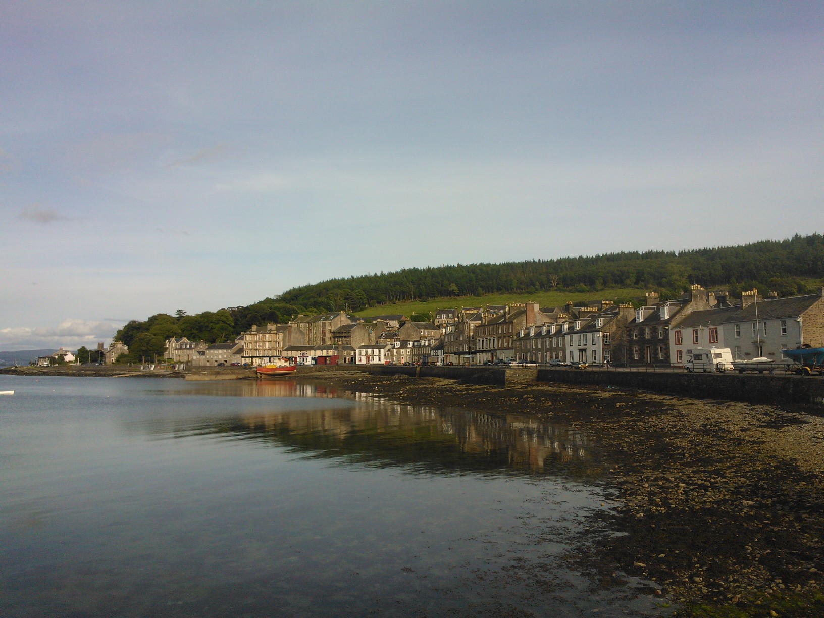
Port Bannatyne

Port Bannatyne (Scottish Gaelic: Port MhicEamailinn), is a coastal village on the Isle of Bute, Firth of Clyde, Scotland that is home to many steamers...

Ardbeg, Bute

Ardbeg is a small settlement on the island of Bute in Scotland, in Argyll and Bute (grid reference NS0866). It is on the south side of Port Bannatyne....
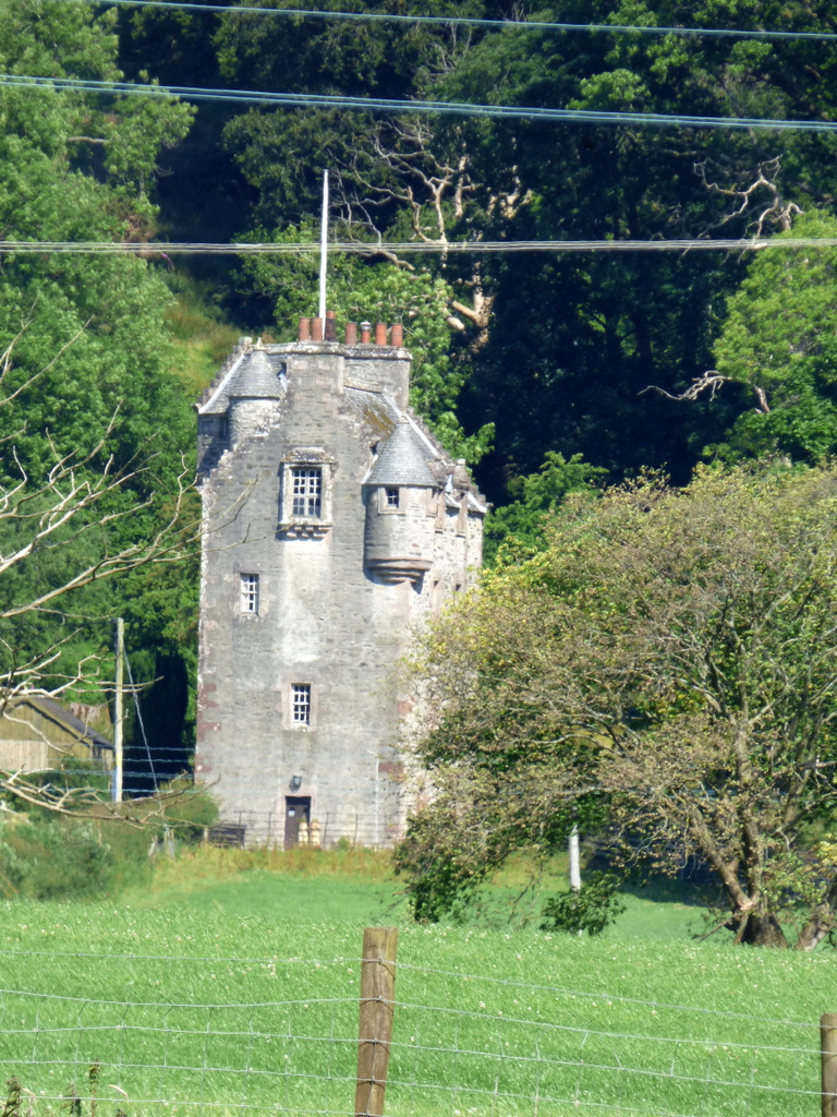
Kames Castle

Kames Castle is a 16th-century tower house located on the shore of Kames Bay near Port Bannatyne, on the Isle of Bute, Scotland. The castle, which is set...

Wester Kames Castle

Wester Kames Castle is located near Kames Bay near Port Bannatyne, Isle of Bute, Scotland. Dating from around 1700, the castle was rebuilt around 1900...
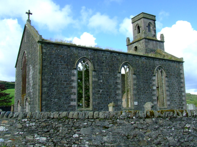
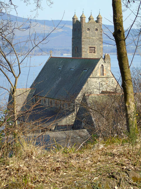
St Colmac's Church

St Colmac's Church is a ruined 19th-century church in St Colmac, north-east of Ettrick Bay, on the Isle of Bute, Argyll and Bute, Scotland. Built in 1835...
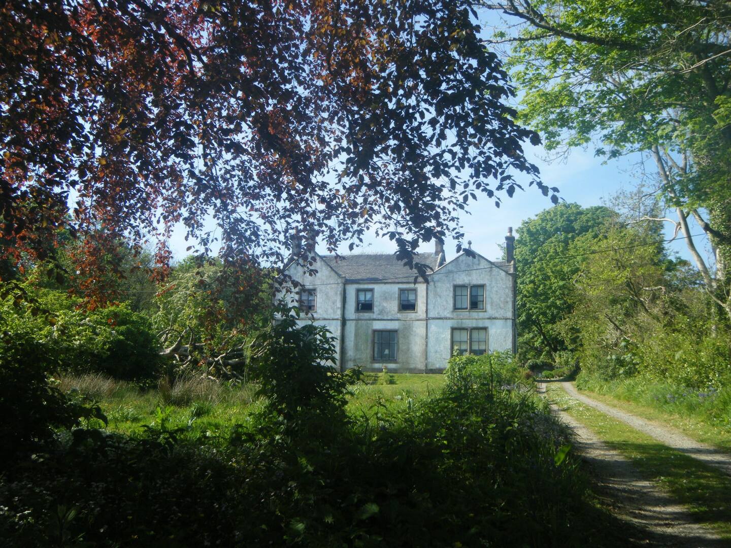
St Colmac Manse

St Colmac Manse (also known as Cnoc an Raer) is an historic building in St Colmac on the Isle of Bute, Scotland. Dating to around 1835, it was the clergy...

West Pier Public Convenience

The West Pier Public Convenience or Victorian Toilets is a public toilet on the west pier of the harbour of Rothesay on the Isle of Bute. It opened in...

Nearby Amenities

Located within 500m of 55.856319,-5.0774124
Bus Stop
Bus: yes
Public Transport: platform
Lat/Long: 55.8605271/-5.0761159
Bus Stop
Naptan AtcoCode: 60709078
Naptan NaptanCode: 54723742
Lat/Long: 55.8601404/-5.0812142
Telephone
Booth: KX100
Covered: booth
Lat/Long: 55.860029/-5.0816111
Bus Stop
Bus: yes
Public Transport: platform
Lat/Long: 55.8604192/-5.0763451
Russian Tavern
Tourism: hotel
Lat/Long: 55.8598815/-5.0815576
Pub
Anchor Bar
Addr Housenumber: 36
Addr Postcode: PA20 0LL
Addr Street: Marine Road
Description: Traditional pub
Source: customer
Lat/Long: 55.8600141/-5.0811172
Cafe
CaleDonia Coffeehouse & Bistro
Addr City: Port Bannatyne
Addr Housenumber: 31
Addr Postcode: PA20 0LL
Addr Street: Marine Road
Cuisine: sandwich
Fhrs Id: 781009
Lat/Long: 55.8600623/-5.0809777
Police
Lat/Long: 55.8592728/-5.0823681
Shelter
Lat/Long: 55.8601672/-5.0813211
Defibrillator
Defibrillator Location: Anchor Tavern, Port Bannatyne. External wall, left hand side of door.
Emergency: defibrillator
Indoor: no
Lat/Long: 55.8600587/-5.0810435
The data included in this document is from www.openstreetmap.org. The data is made available under ODbL.

Have you been to Kames Hill Plantation?

Leave your review of Kames Hill Plantation below (or comments, questions and feedback).