Knockcoid Plantation

Wood, Forest in Wigtownshire

Scotland

Knockcoid Plantation

Corsewall Mill Waterfall This waterfall used to power the waterwheel at Corsewall Mill before it was demolished. It is just outside Kirkcolm.
Corsewall Mill Waterfall Credit: Bill Allen

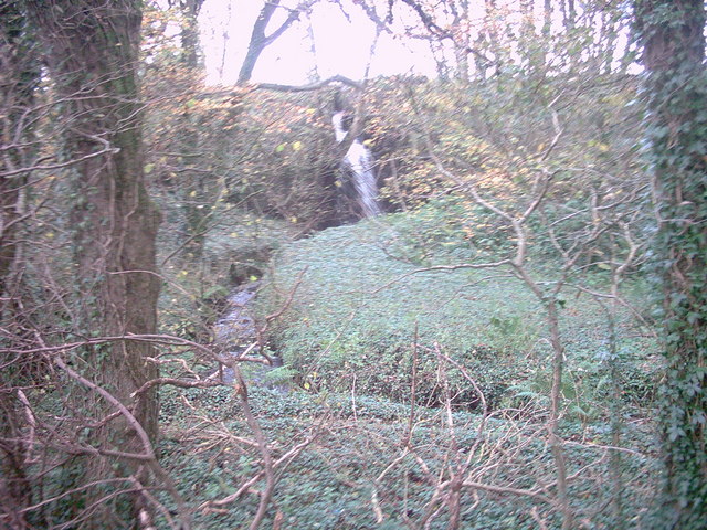
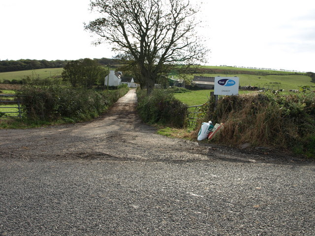
Knockcoid Plantation is a picturesque woodland area located in Wigtownshire, Scotland. Covering an extensive area of approximately 300 acres, it is home to a diverse range of trees, making it a popular destination for nature enthusiasts and hikers.

The plantation primarily consists of coniferous trees, including Scots pine, Douglas fir, and Sitka spruce. These towering trees create a dense canopy, providing ample shade and a tranquil atmosphere for visitors. In addition to the conifers, there are also pockets of broadleaf trees scattered throughout the plantation, such as oak, beech, and birch, adding to its overall biodiversity.

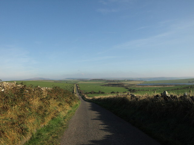
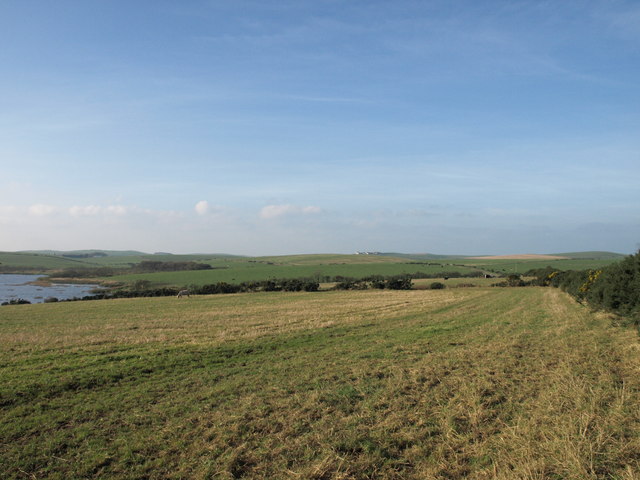
The plantation is crisscrossed by a network of well-maintained walking trails, allowing visitors to explore the area at their own pace. These trails offer stunning views of the surrounding countryside, including rolling hills, meandering rivers, and distant mountains. Birdwatchers are particularly drawn to Knockcoid Plantation, as it is home to a variety of avian species, including woodpeckers, owls, and various songbirds.

Managed by the local forestry authority, the plantation is also a valuable resource for timber production, contributing to the local economy. Sustainable forestry practices are employed to ensure the long-term viability of the woodland while simultaneously meeting the demand for timber.

Overall, Knockcoid Plantation in Wigtownshire is a beautiful and ecologically significant woodland area, offering visitors a chance to immerse themselves in nature and experience the tranquility of a Scottish forest.

If you have any feedback on the listing, please let us know in the comments section below.

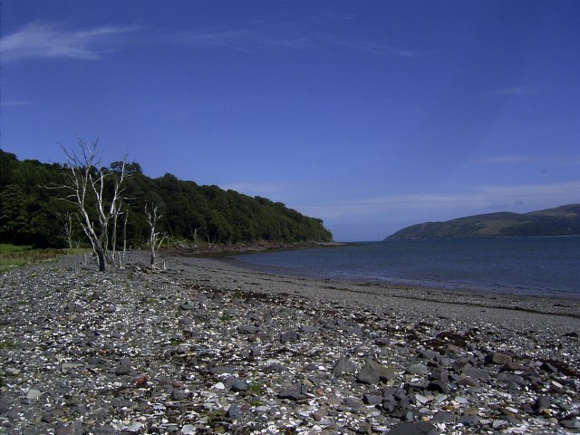
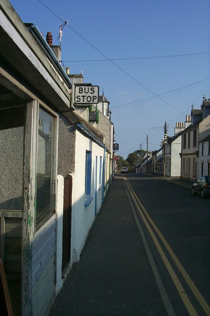
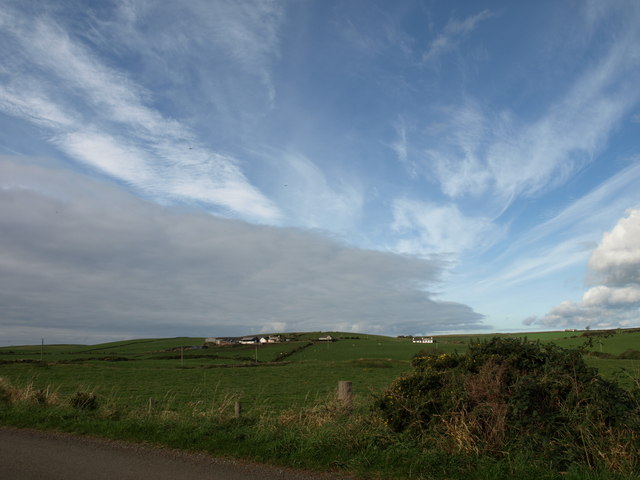
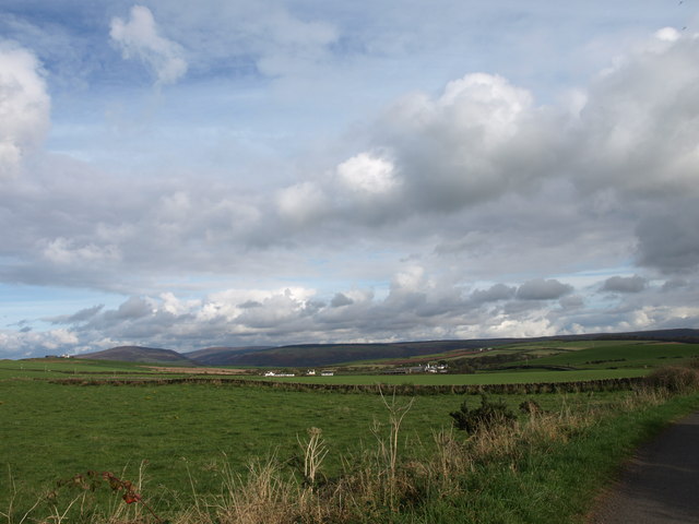
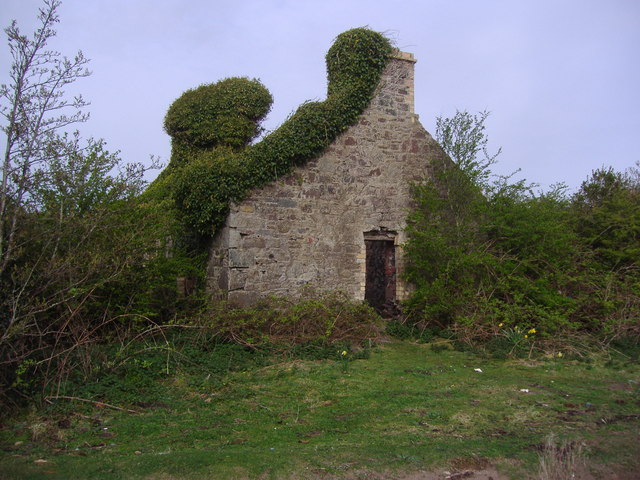
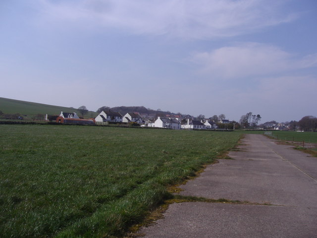
Knockcoid Plantation Images

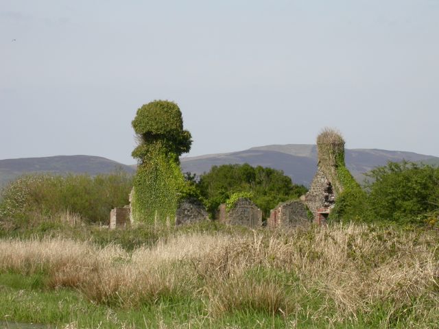
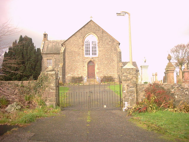
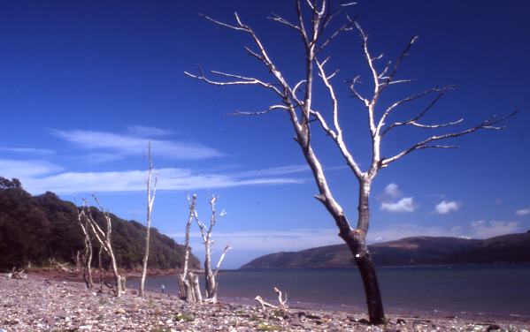
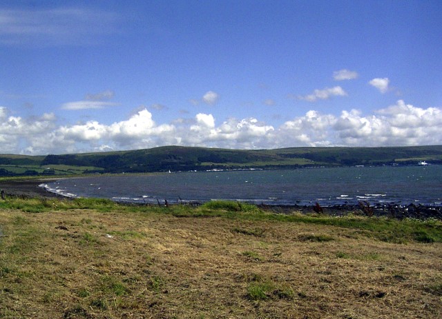
Images are sourced within 2km of 54.977133/-5.0889013 or Grid Reference NX0269. Thanks to Geograph Open Source API. All images are credited.

Corsewall Mill Waterfall This waterfall used to power the waterwheel at Corsewall Mill before it was demolished. It is just outside Kirkcolm.
Corsewall Mill Waterfall
This waterfall used to power the waterwheel at Corsewall Mill before it was demolished. It is just outside Kirkcolm.
Sea Caves at the foot of Sea Cliff, Loch Ryan
Road junction, near Kirkcolm The road to the right is the A718 to Kirkcolm and the one to the left is a minor one to Corsewall.  The view is taken from the B738.
Road junction, near Kirkcolm
The road to the right is the A718 to Kirkcolm and the one to the left is a minor one to Corsewall. The view is taken from the B738.
Junction of three roads Turn left for Portpatrick and right for Corsewall.
Junction of three roads
Turn left for Portpatrick and right for Corsewall.
Ruined house beside Loch Ryan
Kirkcolm Church Kirkcolm Church taken from the other side of Church Hill (the road in front of the church). In the grounds is the Kilmorie Cross which was carved in the 10th century.
Kirkcolm Church
Kirkcolm Church taken from the other side of Church Hill (the road in front of the church). In the grounds is the Kilmorie Cross which was carved in the 10th century.
Shore of Loch Ryan Nr Kirkcolm These dead trees on the shore of Loch Ryan make a great photo opportunity. The beach is covered with large shells.
Shore of Loch Ryan Nr Kirkcolm
These dead trees on the shore of Loch Ryan make a great photo opportunity. The beach is covered with large shells.
Loch Ryan Shore
Loch Ryan Shore
Kircolm Rush Hour Even the bus stop is so laid back it's screwed to the front of the house....
Kircolm Rush Hour
Even the bus stop is so laid back it's screwed to the front of the house....
Farmland, The Rhins Wellhouse farm on the left.
Farmland, The Rhins
Wellhouse farm on the left.
Farmland, The Rhins Looking towards Mahaar farm.
Farmland, The Rhins
Looking towards Mahaar farm.
Dalkest Farm, The Rhins
Loch Connell road, The Rhins
Loch Connell, The Rhins
Observation Post Disused lookout on the shore of Loch Ryan, where seaplanes landed during World War II.
Observation Post
Disused lookout on the shore of Loch Ryan, where seaplanes landed during World War II.
Ruined house on the shores of Loch Ryan This is a ruined house which stands at the end of a track leading from Kirkcolm to the shores of Loch Ryan.
Ruined house on the shores of Loch Ryan
This is a ruined house which stands at the end of a track leading from Kirkcolm to the shores of Loch Ryan.
Village of Kirkcolm taken from the disused airfield This view of Kirkcolm shows the outskirts of the village. The view is looking north.
Village of Kirkcolm taken from the disused airfield
This view of Kirkcolm shows the outskirts of the village. The view is looking north.
Show me another place!

Knockcoid Plantation is located at Grid Ref: NX0269 (Lat: 54.977133, Lng: -5.0889013)

Unitary Authority: Dumfries and Galloway

Police Authority: Dumfries and Galloway

What 3 Words

///decanter.firming.oaks. Near Cairnryan, Dumfries & Galloway

Related Wikis

Kirkcolm

Kirkcolm is a village and civil parish on the northern tip of the Rhinns of Galloway peninsula, south-west Scotland. It is in Dumfries and Galloway, and...

RAF Wig Bay

Royal Air Force Wig Bay, or more simply RAF Wig Bay, is a former Royal Air Force station near Stranraer, Dumfries and Galloway, Scotland. The following...

Ervie

Ervie is a small village in Dumfries and Galloway, Scotland, in the Rhins of Galloway, just outside Stranraer.

Loch Ryan

Loch Ryan (Scottish Gaelic: Loch Rìoghaine, pronounced [l̪ˠɔx ˈrˠiː.ɛɲə]) is a Scottish sea loch that acts as an important natural harbour for shipping...

Nearby Amenities

Located within 500m of 54.977133,-5.0889013
Bowls Club
Naptan AtcoCode: 680000284503
Naptan Bearing: N
Naptan BusStopType: CUS
Naptan CommonName: Bowls Club
Naptan Indicator: opp Club
Naptan Landmark: Bowls Club
Naptan NaptanCode: 34238569
Naptan Notes: None.
Naptan Street: A718
Naptan Verified: no
Source: naptan_import
Lat/Long: 54.9782929/-5.0846223
Bowls Club
Naptan AtcoCode: 680000284504
Naptan Bearing: S
Naptan BusStopType: CUS
Naptan CommonName: Bowls Club
Naptan Indicator: o/s Club
Naptan Landmark: Bowls Club
Naptan NaptanCode: 34238572
Naptan Notes: None
Naptan Street: A718
Naptan Verified: no
Source: naptan_import
Lat/Long: 54.9782981/-5.0844195
Clachan
Naptan AtcoCode: 680004027111
Naptan Bearing: N
Naptan BusStopType: CUS
Naptan CommonName: Clachan
Naptan Indicator: Opp Road End
Naptan NaptanCode: 34238783
Naptan Street: A718
Naptan Verified: no
Source: naptan_import
Lat/Long: 54.9800123/-5.0848949
Clachan
Naptan AtcoCode: 680004027222
Naptan Bearing: S
Naptan BusStopType: CUS
Naptan CommonName: Clachan
Naptan Indicator: Road End
Naptan NaptanCode: 34238784
Naptan Street: A718
Naptan Verified: no
Source: naptan_import
Lat/Long: 54.9800182/-5.0846609
Place: farm
Lat/Long: 54.9809171/-5.0912021
Place: farm
Lat/Long: 54.9730399/-5.0915485
Power: pole
Lat/Long: 54.9730401/-5.0919968
Power: pole
Lat/Long: 54.9734619/-5.092831
Power: pole
Lat/Long: 54.9743379/-5.0945127
Power: pole
Lat/Long: 54.9747227/-5.0952798
Power: pole
Lat/Long: 54.9779446/-5.0965458
Power: pole
Lat/Long: 54.9786173/-5.0953576
Power: pole
Lat/Long: 54.9790113/-5.0947219
Power: pole
Lat/Long: 54.9795516/-5.0937483
Power: pole
Lat/Long: 54.979958/-5.0930482
Power: pole
Lat/Long: 54.9785573/-5.0852403
Power: pole
Lat/Long: 54.9790496/-5.0867682
Power: pole
Lat/Long: 54.9794174/-5.0883974
Power: pole
Lat/Long: 54.9797165/-5.0897684
Power: pole
Lat/Long: 54.980449/-5.0922167
Power: pole
Lat/Long: 54.9800075/-5.0910385
Power: pole
Lat/Long: 54.9806838/-5.0899468
Power: pole
Lat/Long: 54.9811189/-5.0893106
Power: pole
Lat/Long: 54.9806757/-5.0913343
Kirkcolm Bowling Club
Addr City: Kirkcolm
Addr Street: Bowling Green And Pavilion
Club: sport
Contact Facebook: https://www.facebook.com/people/Kirkcolm-bowling-club/100069663862473/
Fhrs Id: 849255
Sport: bowls
Lat/Long: 54.9782307/-5.0838316
Turning Circle
Lat/Long: 54.9734642/-5.0852196
The data included in this document is from www.openstreetmap.org. The data is made available under ODbL.

Have you been to Knockcoid Plantation?

Leave your review of Knockcoid Plantation below (or comments, questions and feedback).