Coille Dhubh
Wood, Forest in Argyllshire
Scotland
Coille Dhubh
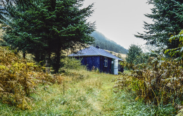
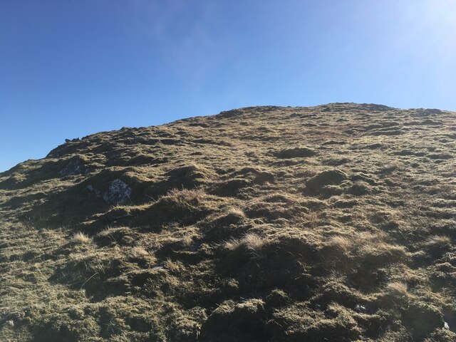
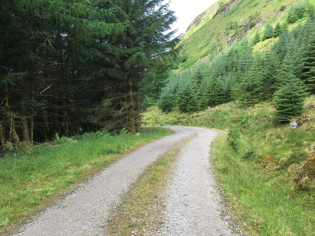
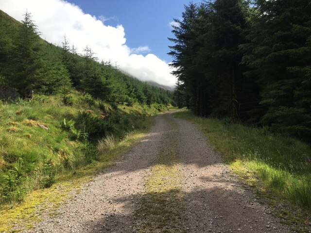
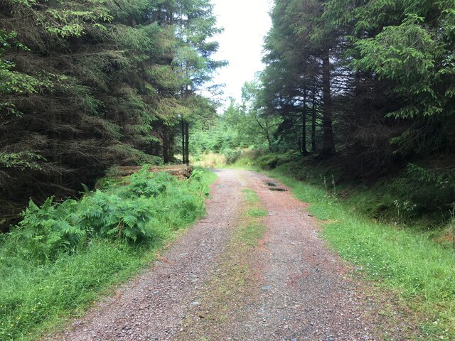
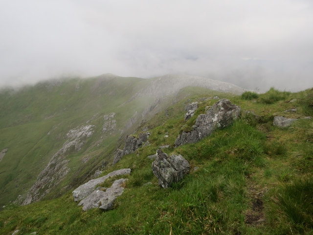
Coille Dhubh, located in Argyllshire, is a picturesque woodland area known for its natural beauty and rich biodiversity. The name "Coille Dhubh" translates to "Black Forest" in Gaelic, which is a fitting description for the dense and dark-green foliage that covers this region.
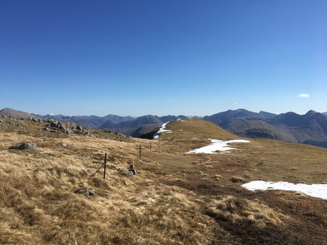
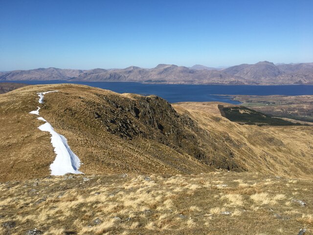
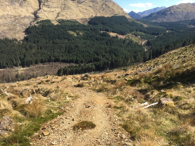
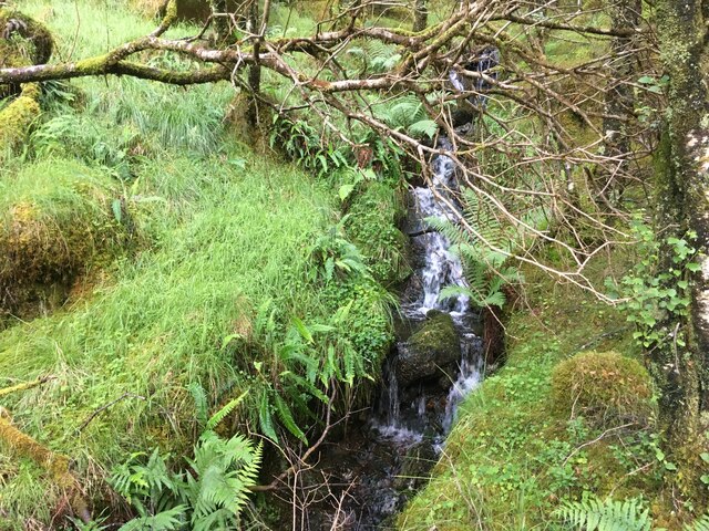
Stretching over several square miles, Coille Dhubh is characterized by its towering trees, including native species such as oak, birch, and pine. The forest floor is adorned with a carpet of moss, ferns, and wildflowers, creating a vibrant and enchanting atmosphere. The diverse flora provides a habitat for a range of wildlife, including red deer, otters, and a variety of bird species.
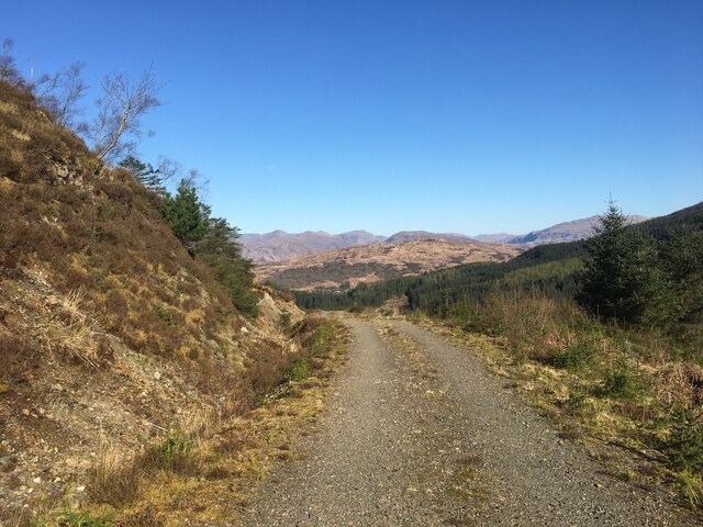
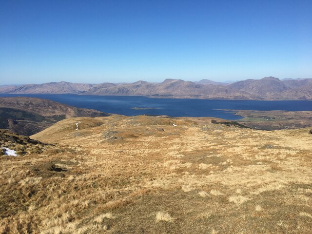
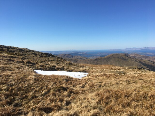
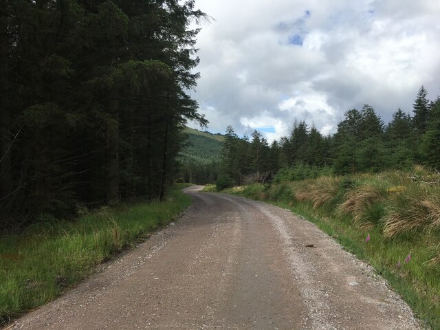
Coille Dhubh offers numerous walking trails, allowing visitors to explore its natural wonders. The paths wind through the forest, offering glimpses of cascading waterfalls, tranquil streams, and stunning viewpoints. The area is a haven for nature enthusiasts and photographers, who are drawn to the serene and untouched landscapes.
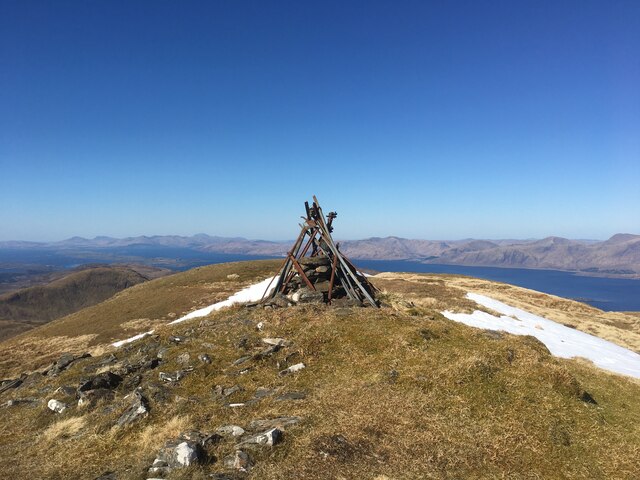
In addition to its natural beauty, Coille Dhubh has historical significance. The forest has remnants of ancient settlements, including standing stones and burial mounds, which provide a glimpse into the area's past.
Coille Dhubh is a place of tranquility and serenity, where visitors can immerse themselves in nature and experience the wonders of the Scottish wilderness. Its unspoiled beauty and diverse ecosystems make it a must-visit destination for those seeking a peaceful retreat in the heart of Argyllshire.
If you have any feedback on the listing, please let us know in the comments section below.
Coille Dhubh Images
Images are sourced within 2km of 56.628273/-5.222897 or Grid Reference NN0253. Thanks to Geograph Open Source API. All images are credited.

Coille Dhubh is located at Grid Ref: NN0253 (Lat: 56.628273, Lng: -5.222897)
Unitary Authority: Highland
Police Authority: Highlands and Islands
What 3 Words
///overpaid.glove.pushes. Near Glencoe, Highland
Nearby Locations
Related Wikis

Fraochaidh
Fraochaidh (879 m) is a mountain in the Grampian Mountains, located between Glen Coe and Oban on the west coast of Scotland. It lies on the border of Highland...

Achindarroch
Achadh nan Darach (English: Achindarroch or Achnandarach) is a hamlet in Highland, Scotland. It lies near the banks of Loch Linnhe on the A828 road, just...

Duror
Duror (Scottish Gaelic: An Dùrar, meaning hard water), occasionally Duror of Appin, is a small, remote coastal village that sits at the base of Glen Duror...

Beinn a' Bheithir
Beinn a' Bheithir (Scottish Gaelic for 'mountain of the beast' / 'mountain of the thunderbolt') is a mountain south of Ballachulish and Loch Leven in the...
Have you been to Coille Dhubh?
Leave your review of Coille Dhubh below (or comments, questions and feedback).