Baliver Wood
Wood, Forest in Argyllshire
Scotland
Baliver Wood
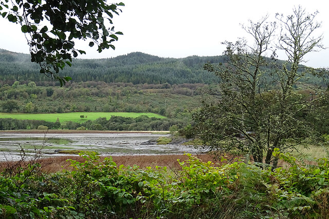
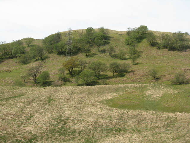
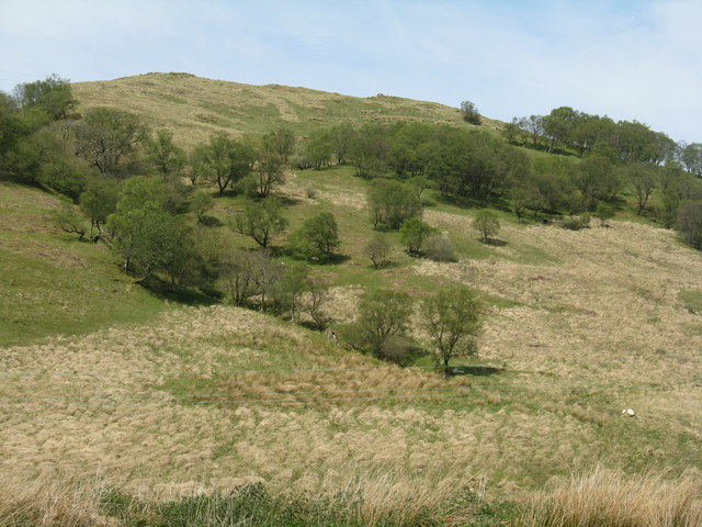
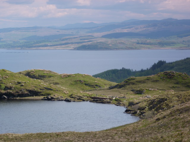
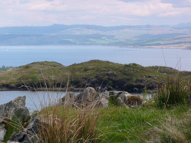
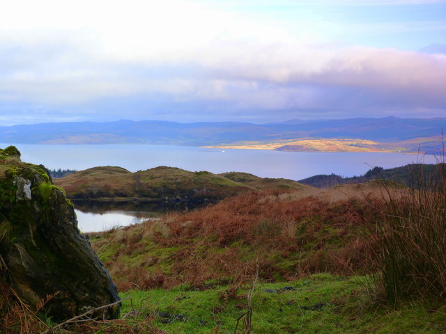
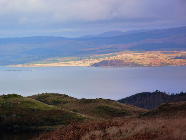
Baliver Wood is a charming forest located in Argyllshire, Scotland. Spanning over a vast area of approximately 500 acres, it is nestled amidst the captivating natural landscapes of the region. The woodland is predominantly composed of native tree species, including oak, birch, and Scots pine, creating a diverse and enchanting ecosystem.
As visitors wander through Baliver Wood, they are greeted by a tranquil ambiance and a plethora of flora and fauna. The forest floor is adorned with a carpet of wildflowers, including bluebells and primroses, especially during the spring season, adding vibrant colors to the surroundings. The dense foliage provides shelter to numerous bird species, such as woodpeckers, owls, and red kites, making it an excellent spot for birdwatching enthusiasts.
The wood offers a network of well-maintained trails, allowing visitors to explore the area at their own pace. These pathways meander through the forest, leading to picturesque viewpoints and hidden gems. Nature lovers can also indulge in activities like hiking, cycling, and photography while immersing themselves in the beauty of their surroundings.
Baliver Wood is not only a haven for wildlife and nature enthusiasts but also holds historical significance. It is believed that the wood has been present for centuries, serving as a source of timber for the local community in the past.
Overall, Baliver Wood in Argyllshire is a captivating and diverse forest, offering a serene escape into nature. Its natural beauty, wildlife, and historical significance make it a must-visit destination for those seeking tranquility and a connection with the great outdoors.
If you have any feedback on the listing, please let us know in the comments section below.
Baliver Wood Images
Images are sourced within 2km of 55.863398/-5.4427576 or Grid Reference NR8468. Thanks to Geograph Open Source API. All images are credited.
Baliver Wood is located at Grid Ref: NR8468 (Lat: 55.863398, Lng: -5.4427576)
Unitary Authority: Argyll and Bute
Police Authority: Argyll and West Dunbartonshire
What 3 Words
///spud.noon.overtime. Near Tarbert, Argyll & Bute
Nearby Locations
Related Wikis
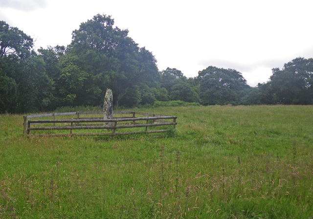
Avinagillan standing stone
The Avinagillan standing stone is a prehistoric menhir on the Kintyre Peninsula of Scotland. The stone is near the hamlet of Avinagillan. == See also... ==
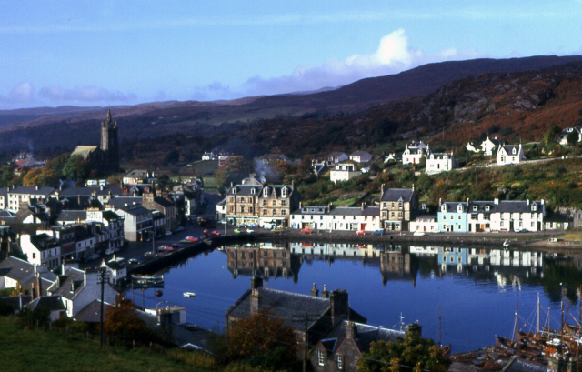
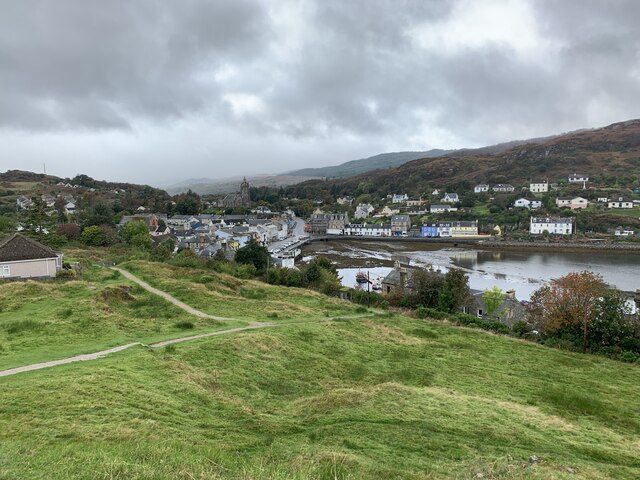
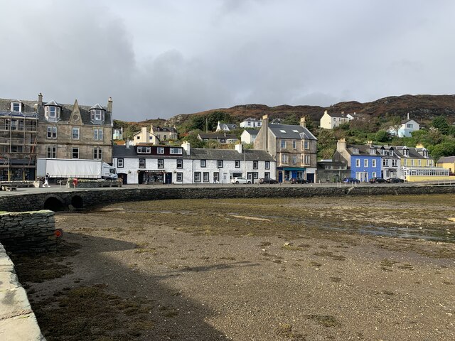
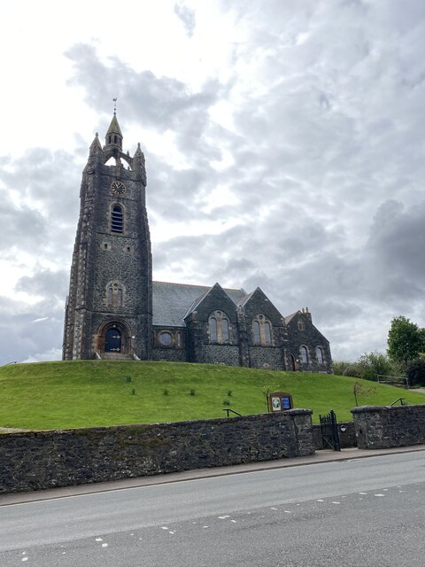
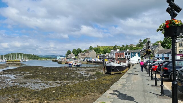
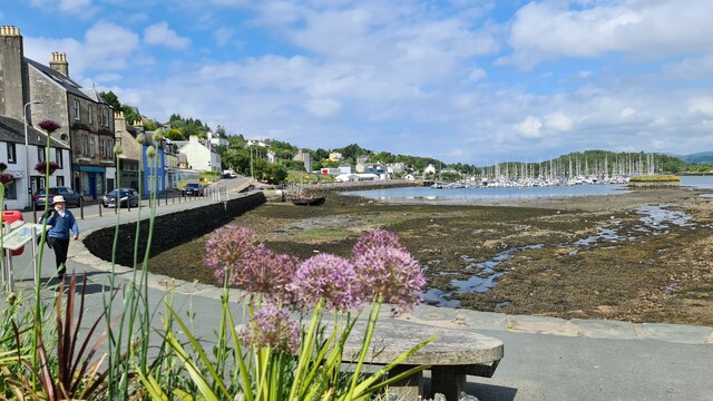
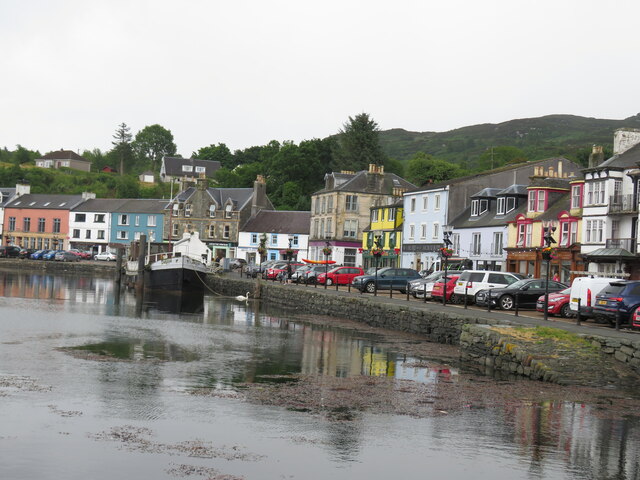
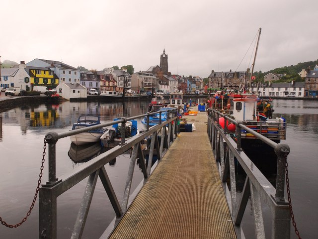
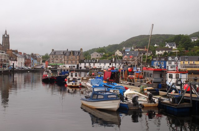
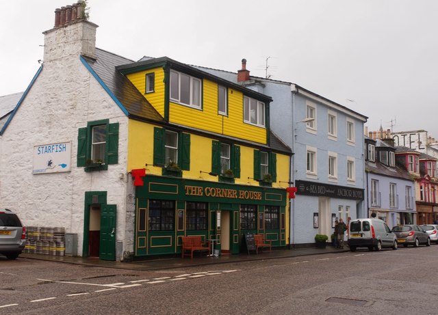
Tarbert, Kintyre
Tarbert (Scottish Gaelic: An Tairbeart, pronounced [ən̪ˠ ˈt̪ʰaɾʲapərˠʃt̪], or Tairbeart Loch Fìne to distinguish it from other places of the same name...

Tarbert Castle
Tarbert Castle is located on the southern shore of East Loch Tarbert, at Tarbert, Argyll, Scotland, at the north end of Kintyre. Tarbert Castle was a strategic...

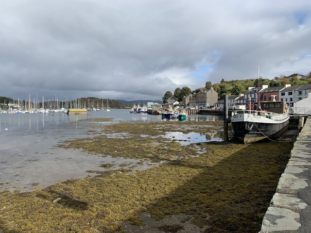
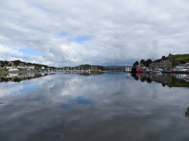
East Loch Tarbert, Argyll
East Loch Tarbert, Argyll is a small sea loch on the eastern side of the Kintyre peninsula in Scotland. It is a part of the much larger Loch Fyne. The...

Stonefield Castle
Stonefield Castle is a Scottish baronial manor house near the village of Stonefield, north of Tarbert, Argyll & Bute, Scotland. It was built on the site...

Barmore Island
Barmore Island is a peninsula in Scotland located on the east of Knapdale, in the council area of Argyll and Bute. It is 1 and a half miles north from...

Torinturk
Torinturk (Scottish Gaelic: Tòrr an Tuirc) is a village in Argyll and Bute, Scotland. Torinturk is 5 miles (8 km) from Tarbert. Torinturk comes from the...

Dùn a' Choin Duibh
Dùn a' Choin Duibh (Scottish Gaelic: Fort of the Black Dog) is a hillfort located near Torinturk, Argyll and Bute, Scotland. According to the local shanachies...
Nearby Amenities
Located within 500m of 55.863398,-5.4427576Have you been to Baliver Wood?
Leave your review of Baliver Wood below (or comments, questions and feedback).