Coille na Sròine

Wood, Forest in Argyllshire

Scotland

Coille na Sròine

Old Pier at Salen An old picture from the 1980s showing a few bits more structure than in more recent shots.
Old Pier at Salen Credit: Des Blenkinsopp

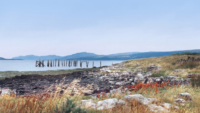
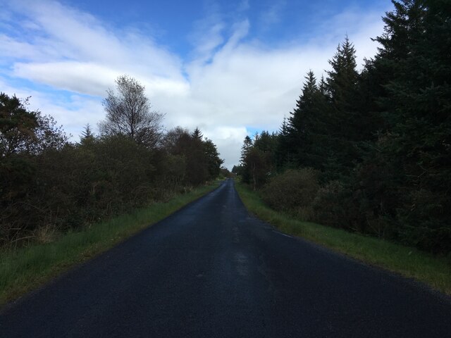
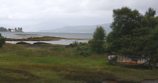
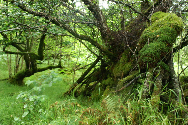
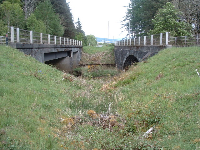
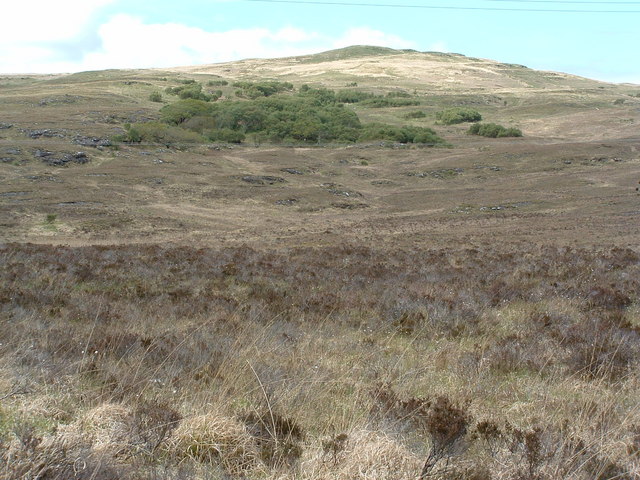
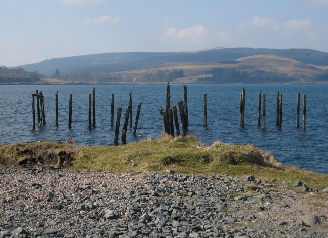
Coille na Sròine is a lush and expansive forest located in Argyllshire, Scotland. Covering a vast area of land, the forest is known for its diverse array of flora and fauna, making it a popular destination for nature enthusiasts and hikers alike.

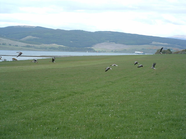
The forest is home to a variety of tree species, including oak, birch, and pine, creating a rich and vibrant canopy that provides habitat for numerous wildlife species. Visitors to Coille na Sròine may spot red deer, red squirrels, and a variety of bird species as they explore the winding trails and pathways that crisscross the forest.

In addition to its natural beauty, Coille na Sròine also holds cultural significance as it is believed to have been a site of ancient Celtic rituals and ceremonies. The forest's tranquil and mystical atmosphere is sure to captivate visitors as they wander through its ancient groves and hidden clearings.

Overall, Coille na Sròine is a stunning example of Scotland's natural beauty, offering a peaceful retreat for those looking to immerse themselves in the serene and enchanting landscape of Argyllshire.

If you have any feedback on the listing, please let us know in the comments section below.

Coille na Sròine Images

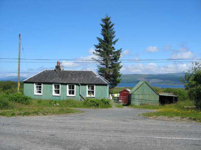
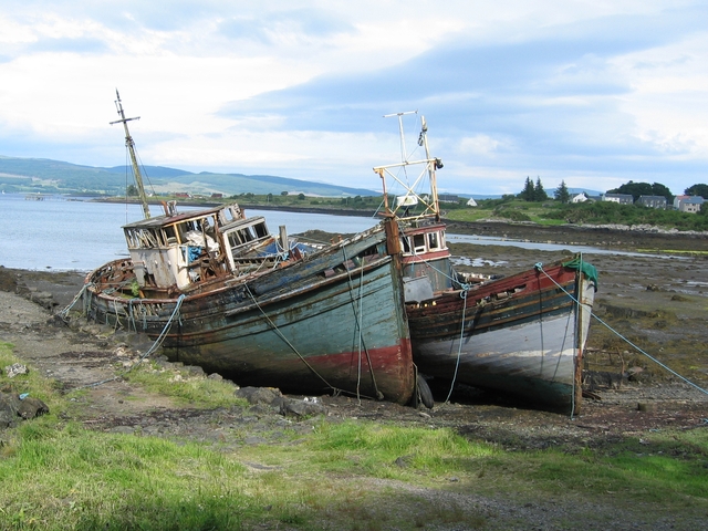
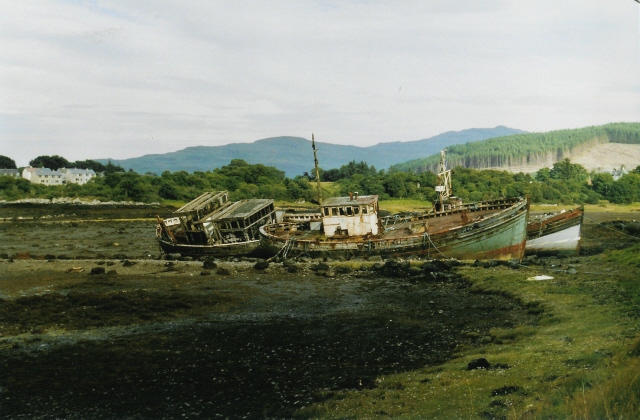
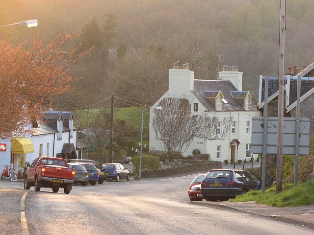
Images are sourced within 2km of 56.51309/-5.9388868 or Grid Reference NM5742. Thanks to Geograph Open Source API. All images are credited.

Old Pier at Salen An old picture from the 1980s showing a few bits more structure than in more recent shots.
Old Pier at Salen
An old picture from the 1980s showing a few bits more structure than in more recent shots.
B8035 near Criagmore Cottage
Girl Claire and Pavonia The fishing boats have been here since the 1970s.
Girl Claire and Pavonia
The fishing boats have been here since the 1970s.
The Salen Wrecks Compare with earlier versions to see the rate of deterioration!
The Salen Wrecks
Compare with earlier versions to see the rate of deterioration!
Glenforsa Airfield
Glenforsa Airfield
Sound of Mull From Salen The area in the foreground floods on High water springs. The view is to the North west towards Tobermory up the Sound of Mull. On the left is Aros point. A yacht race is taking place out of Tobermory Harbour.
Sound of Mull From Salen
The area in the foreground floods on High water springs. The view is to the North west towards Tobermory up the Sound of Mull. On the left is Aros point. A yacht race is taking place out of Tobermory Harbour.
Trees in the wood above Salen
Dual carriageway The old road bridge on the left has been supplemented by the new bridge when the road was upgraded to 2 lane.
Dual carriageway
The old road bridge on the left has been supplemented by the new bridge when the road was upgraded to 2 lane.
Woodland on Braigh a' choire Mhor
Gooseflight 10 taking off from Glenforsa
Glenforsa Airfield View of the runway from the east end, the terminal"!" is centre screen. 
Note the dead sheep skulls on the fenceposts, presumably they bring good luck, to pilots but not sheep.
Glenforsa Airfield
View of the runway from the east end, the terminal"!" is centre screen. Note the dead sheep skulls on the fenceposts, presumably they bring good luck, to pilots but not sheep.
Hospital at Salen As far as I am aware, the building in the photo is the only NHS hospital for Mull, housing the casualty, out patients and x-ray departments for all of the island. It is also an old people's home.
Hospital at Salen
As far as I am aware, the building in the photo is the only NHS hospital for Mull, housing the casualty, out patients and x-ray departments for all of the island. It is also an old people's home.
Glenforsa airfield Flight control and the waiting room at the grass runway airfield.
Glenforsa airfield
Flight control and the waiting room at the grass runway airfield.
Old House near Salen
Boats at the old pier, Salen These three fishing boats have been tied up here at the disused pier to rot away. Odd how they look so attractive, when dumped cars and the like look so ugly.
Boats at the old pier, Salen
These three fishing boats have been tied up here at the disused pier to rot away. Odd how they look so attractive, when dumped cars and the like look so ugly.
Wrecks at Salen Familiar to any visitor who's travelled up or down this road, these have been here for years and are immortalised on a local postcard too (a better picture than mine!).
Wrecks at Salen
Familiar to any visitor who's travelled up or down this road, these have been here for years and are immortalised on a local postcard too (a better picture than mine!).
Salen The centre of the village, looking downhill to the junction with the Gruline road.
Salen
The centre of the village, looking downhill to the junction with the Gruline road.
Remains of old pier. Looking over Salen Bay
Remains of old pier.
Looking over Salen Bay
Show me another place!

Coille na Sròine is located at Grid Ref: NM5742 (Lat: 56.51309, Lng: -5.9388868)

Unitary Authority: Argyll and Bute

Police Authority: Argyll and West Dunbartonshire

What 3 Words

///confirms.graph.newsprint. Near Salen, Argyll & Bute

Related Wikis

Salen, Mull

Salen (Scottish Gaelic: An t-Sàilean) is a settlement on the Isle of Mull, Scotland. It is on the east coast of the island, on the Sound of Mull, approximately...

Great Mull Air Mystery

The Great Mull Air Mystery is the name given by the media to the disappearance of pilot Peter Gibbs on 24 December 1975 after he took an unscheduled solo...

Aros Castle

Aros Castle, also known as Dounarwyse Castle, is a ruined 13th-century castle near Salen on the Isle of Mull, Scotland. The castle overlooks the Sound...

SS Rondo

SS Rondo was a steam cargo ship. She was built by Tampa Shipbuilding & Drydock Company of Florida for the British government under the name War Wonder...

Nearby Amenities

Located within 500m of 56.51309,-5.9388868
Kennedys
Shop: car_repair
Lat/Long: 56.5137588/-5.946171
Power: pole
Source: Bing
Lat/Long: 56.5150503/-5.9420588
Power: pole
Lat/Long: 56.5151214/-5.9407524
Power: pole
Source: Bing
Lat/Long: 56.5148994/-5.9459319
Power: pole
Source: Bing
Lat/Long: 56.5150326/-5.9433221
Power: pole
Lat/Long: 56.5151227/-5.9445611
Power: pole
Lat/Long: 56.5149555/-5.9446442
Power: pole
Lat/Long: 56.5151227/-5.9382284
Power: pole
Lat/Long: 56.5151982/-5.9362274
Power: pole
Lat/Long: 56.5152959/-5.9342238
Power: pole
Lat/Long: 56.5152781/-5.9334111
Power: pole
Lat/Long: 56.5148875/-5.9390652
Power: pole
Lat/Long: 56.514815/-5.945363
Power: pole
Lat/Long: 56.5148653/-5.9438422
Power: pole
Lat/Long: 56.5149393/-5.9422785
Power: pole
Lat/Long: 56.5150399/-5.9402856
Power: pole
Lat/Long: 56.514735/-5.937869
Power: pole
Lat/Long: 56.5148534/-5.9361309
Power: pole
Lat/Long: 56.5150401/-5.9340126
Power: pole
Lat/Long: 56.5175197/-5.9383261
Power: pole
Lat/Long: 56.5167441/-5.9385385
Power: pole
Lat/Long: 56.5161136/-5.9387153
Power: pole
Lat/Long: 56.5153894/-5.9388975
Power: pole
Lat/Long: 56.5155013/-5.9370066
Power: pole
Lat/Long: 56.515979/-5.9357103
Power: pole
Lat/Long: 56.5162467/-5.9349868
Power: pole
Lat/Long: 56.515595/-5.9352239
Power: pole
Lat/Long: 56.5153002/-5.9404281
Power: pole
Lat/Long: 56.5151989/-5.942067
Power: pole
Lat/Long: 56.51509/-5.9437798
Power: pole
Lat/Long: 56.515211/-5.9454967
Power: pole
Lat/Long: 56.5149055/-5.9332041
Power: pole
Lat/Long: 56.5146629/-5.9319969
Power: pole
Lat/Long: 56.5148647/-5.9321161
Give Way
Direction: backward
Lat/Long: 56.5159318/-5.9340172
The data included in this document is from www.openstreetmap.org. The data is made available under ODbL.

Have you been to Coille na Sròine?

Leave your review of Coille na Sròine below (or comments, questions and feedback).