Callow Hill

Settlement in Worcestershire Wyre Forest

England

Callow Hill

New Forest Close, Far Forest
New Forest Close, Far Forest Credit: Alex McGregor

The requested URL returned error: 429 Too Many Requests

If you have any feedback on the listing, please let us know in the comments section below.
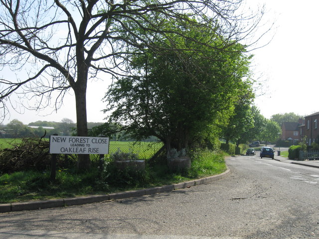
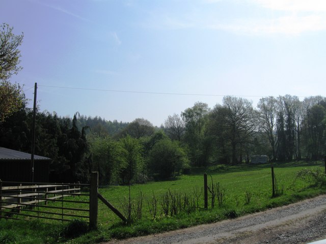
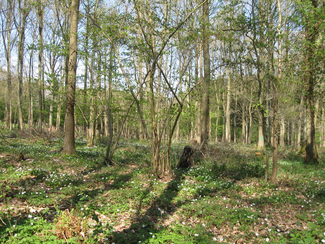
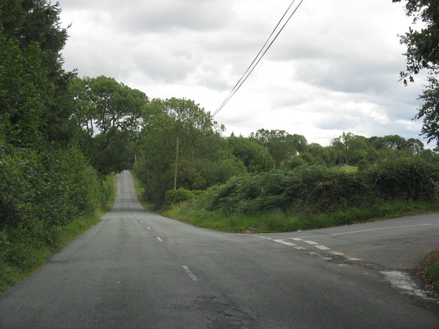
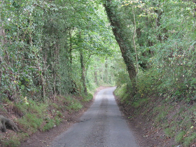
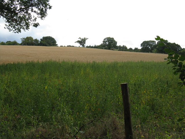
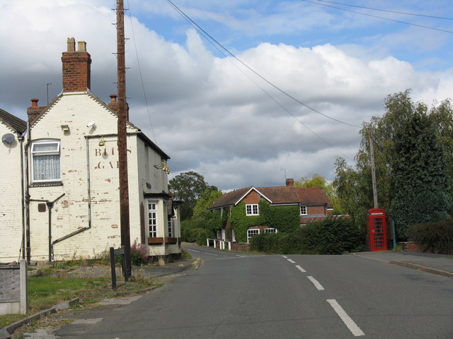
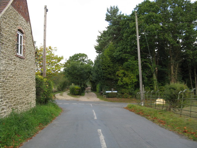
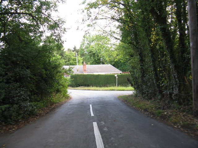
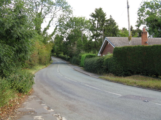
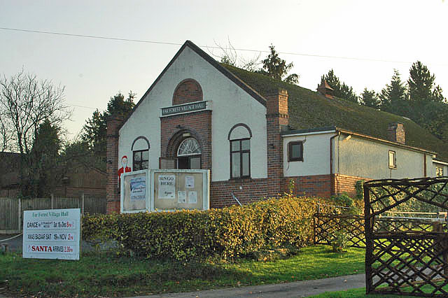
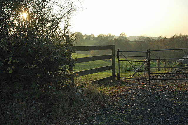
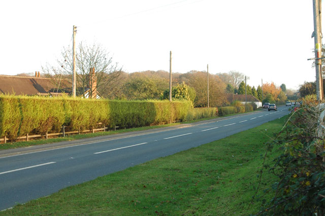
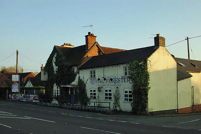
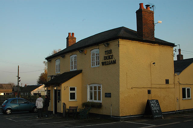
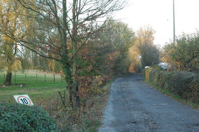
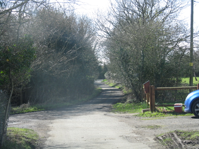
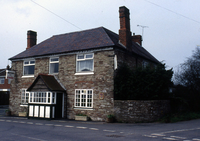
Callow Hill Images

Images are sourced within 2km of 52.360546/-2.376336 or Grid Reference SO7473. Thanks to Geograph Open Source API. All images are credited.

New Forest Close, Far Forest
Fields at Cook's Green Farm
Woodland at Cook's Green Farm
A456 at Alton Nursery
Lane junction at Cross Bank
Narrow lane south of Lye Head
Hillside south of Gladder Brook
Bliss Gate's centre Alas, the pub appears to be defunct.  The phone box wasn't tested.
Bliss Gate's centre
Alas, the pub appears to be defunct. The phone box wasn't tested.
Lane junction near Gorst Hill
Lane junction at Callow Hill
North from Callow Hill
Far Forest Village Hall
Fenced off
Fenced off
A4117 near Whitehouse Farm
The Royal Forester
The Royal Forester
The Duke William
The Duke William
Keep your speed down
Path near Rose Bine
Path near Rose Bine
Show me another place!

Callow Hill is located at Grid Ref: SO7473 (Lat: 52.360546, Lng: -2.376336)

Administrative County: Worcestershire

District: Wyre Forest

Police Authority: West Mercia

What 3 Words

///bakers.wished.spellings. Near Bewdley, Worcestershire

Related Wikis

Fingerpost, Worcestershire

Fingerpost is a hamlet and road junction in north Worcestershire, England, approximately 3 miles (4.8 km) west of Bewdley. It is located at the junction...

Bliss Gate

Bliss Gate is a small village in Worcestershire, England. It had many attractive tourist landmarks such as the Bliss Gate Inn (now closed) and a village...

Far Forest

Far Forest is a small village in north Worcestershire, England, approximately 3.5 miles (5.6 km) west of Bewdley, and next to the border with Shropshire...

Rock, Worcestershire

Rock is a village and civil parish in the Wyre Forest District of Worcestershire, England, which lies south-west of Bewdley. It had a population of 2,366...

Nearby Amenities

Located within 500m of 52.360546,-2.376336
Callow Hill
Place: village
Lat/Long: 52.3606661/-2.373801
Bus Stop
Royal Forrester
Bus: yes
Naptan AtcoCode: 2000G022378
Naptan Bearing: N
Naptan BusStopType: CUS
Naptan CommonName: Royal Forrester
Naptan NaptanCode: wocdgmad
Naptan ShortCommonName: Royal Forrester
Naptan Street: Bliss Gate Road
Naptan Verified: no
Public Transport: platform
Source: naptan_import
Lat/Long: 52.3620721/-2.3779558
Bus Stop
The Royal Forester
Bus: yes
Naptan AtcoCode: 2000G500156
Naptan Bearing: E
Naptan CommonName: The Royal Forester
Naptan Crossing: Bliss Gate Road
Naptan Indicator: Adj
Naptan Landmark: Public House
Naptan NaptanCode: wocdpadt
Naptan Street: A456
Naptan Verified: no
Public Transport: platform
Source: naptan_import
Lat/Long: 52.3623522/-2.3775323
Noexit: yes
Lat/Long: 52.3611599/-2.3818353
Noexit: yes
Lat/Long: 52.3634657/-2.377604
Noexit: yes
Lat/Long: 52.3647866/-2.3778373
Generator Method: photovoltaic
Generator Output Electricity: yes
Generator Source: solar
Generator Type: solar_photovoltaic_panel
Location: roof
Power: generator
Lat/Long: 52.3620161/-2.3768851
Generator Method: photovoltaic
Generator Output Electricity: yes
Generator Source: solar
Generator Type: solar_photovoltaic_panel
Location: roof
Power: generator
Lat/Long: 52.362243/-2.3804873
Generator Method: photovoltaic
Generator Output Electricity: yes
Generator Source: solar
Generator Type: solar_photovoltaic_panel
Location: roof
Power: generator
Lat/Long: 52.3610416/-2.370252
Generator Method: photovoltaic
Generator Output Electricity: yes
Generator Source: solar
Generator Type: solar_photovoltaic_panel
Location: roof
Power: generator
Lat/Long: 52.3602553/-2.3755601
The data included in this document is from www.openstreetmap.org. The data is made available under ODbL.

Have you been to Callow Hill?

Leave your review of Callow Hill below (or comments, questions and feedback).