Cross Bank
Settlement in Worcestershire Wyre Forest
England
Cross Bank

Cross Bank is a small village located in the county of Worcestershire, England. It is situated approximately 4 miles south-west of the city of Worcester and falls within the Malvern Hills District. The village is nestled amidst the picturesque countryside, surrounded by rolling hills, lush green fields, and the meandering River Severn.
Cross Bank is a quintessential English village with a population of around 500 residents. It offers a peaceful and idyllic setting, making it an attractive place for those seeking a quieter way of life away from the hustle and bustle of larger cities. The village boasts a close-knit community, where neighbors know each other and there is a strong sense of community spirit.
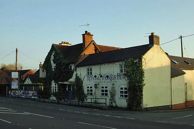
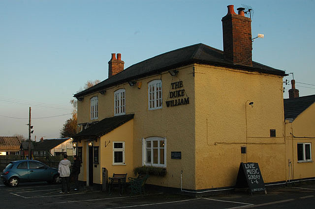
Although small in size, Cross Bank has a range of amenities to cater to its residents' needs. These include a local pub, The Cross Bank Inn, which serves as a social hub for the community. There is also a village hall that hosts various events and activities throughout the year, providing opportunities for engagement and socialization.
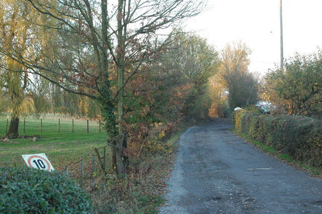
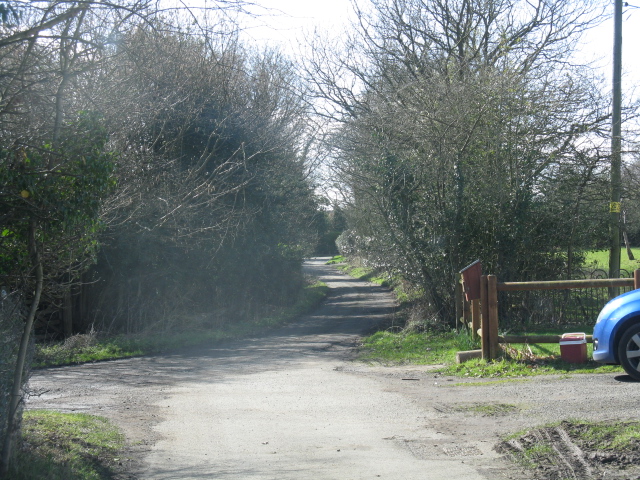
The village is surrounded by an abundance of natural beauty, with numerous walking and cycling trails in the nearby Malvern Hills, offering stunning views of the Worcestershire countryside. The River Severn, which flows adjacent to Cross Bank, provides opportunities for boating, fishing, and other water-based activities.
Overall, Cross Bank offers a tranquil and scenic setting, a strong community spirit, and a range of amenities, making it an appealing place to live for those seeking a peaceful rural lifestyle within close proximity to the city.
If you have any feedback on the listing, please let us know in the comments section below.
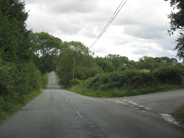
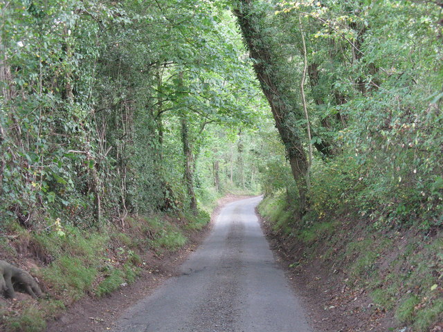
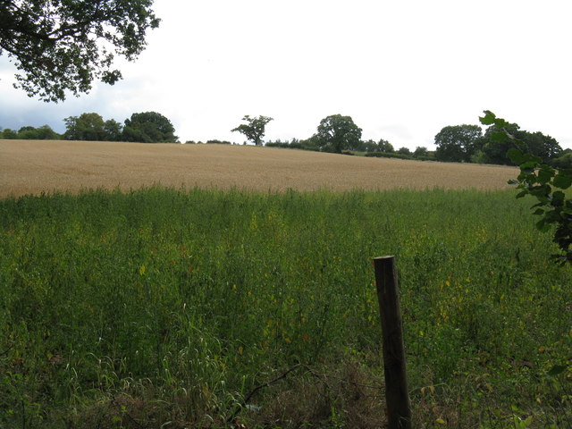
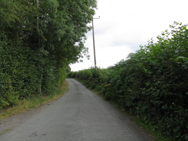
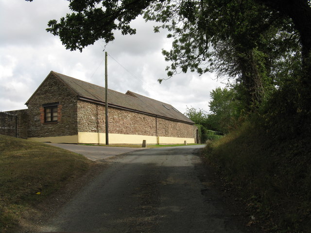
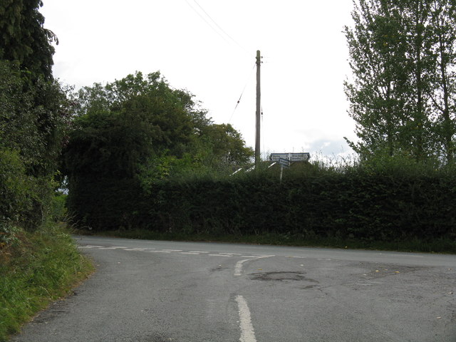
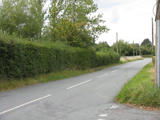
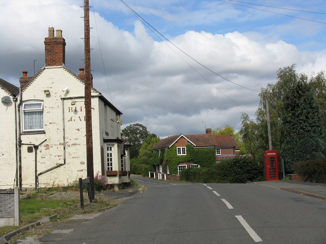
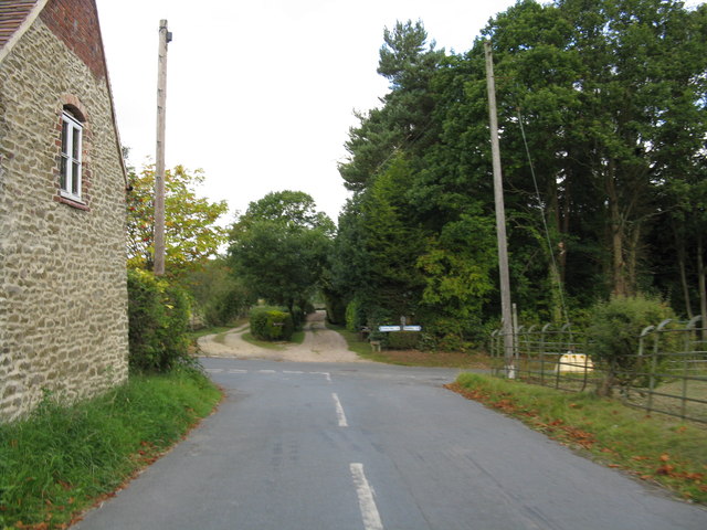
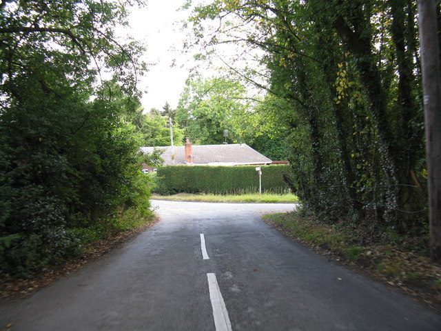
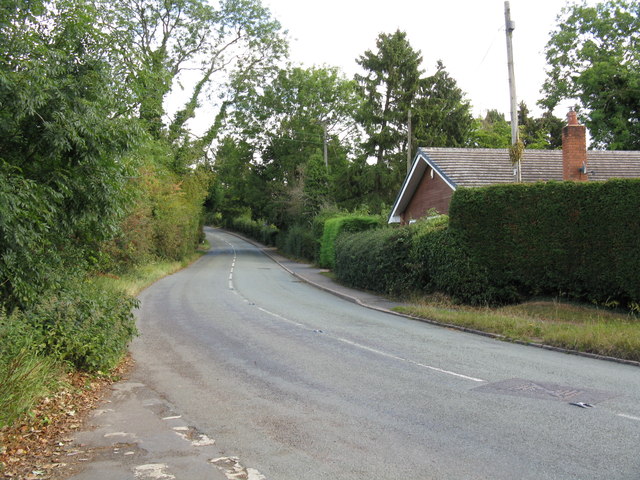
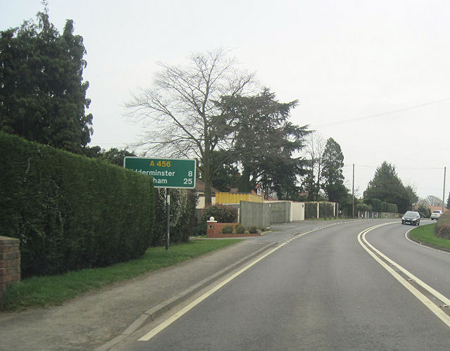
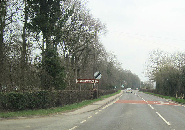
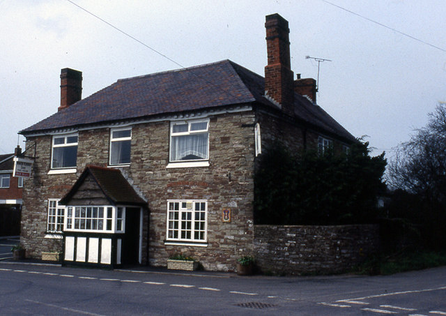
Cross Bank Images
Images are sourced within 2km of 52.355844/-2.3691406 or Grid Reference SO7473. Thanks to Geograph Open Source API. All images are credited.
Cross Bank is located at Grid Ref: SO7473 (Lat: 52.355844, Lng: -2.3691406)
Administrative County: Worcestershire
District: Wyre Forest
Police Authority: West Mercia
What 3 Words
///breezy.paddocks.skill. Near Bewdley, Worcestershire
Nearby Locations
Related Wikis

Bliss Gate
Bliss Gate is a small village in Worcestershire, England. It had many attractive tourist landmarks such as the Bliss Gate Inn (now closed) and a village...

Fingerpost, Worcestershire
Fingerpost is a hamlet and road junction in north Worcestershire, England, approximately 3 miles (4.8 km) west of Bewdley. It is located at the junction...
Rock, Worcestershire
Rock is a village and civil parish in the Wyre Forest District of Worcestershire, England, which lies south-west of Bewdley. It had a population of 2,366...

Far Forest
Far Forest is a small village in north Worcestershire, England, approximately 3.5 miles (5.6 km) west of Bewdley, and next to the border with Shropshire...

Rock moated site and medieval village
Rock moated site and medieval village is an archaeological site, including a deserted medieval village, in Worcestershire, England, near the village of...

Church of St Peter and St Paul, Rock
The Church of St Peter and St Paul is an Anglican church in the village of Rock, in Worcestershire, England. It is in the parish of Rock with Heightington...

Heightington
Heightington is a small village in Worcestershire, England. It lies a little to the south-west of Bewdley and a little to the west of Stourport-on-Severn...

Ribbesford
Ribbesford is a village and civil parish in the Wyre Forest District of Worcestershire, England. At the 2001 census it had a population of 237.Notable...
Nearby Amenities
Located within 500m of 52.355844,-2.3691406Have you been to Cross Bank?
Leave your review of Cross Bank below (or comments, questions and feedback).