Coille Bheag
Wood, Forest in Argyllshire
Scotland
Coille Bheag
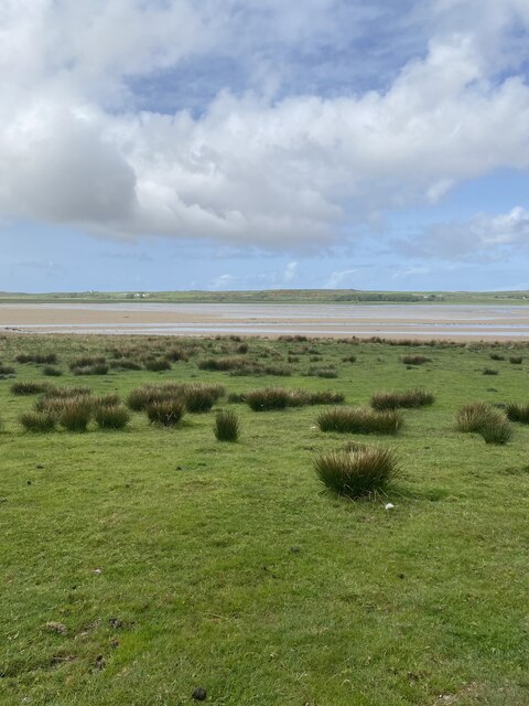
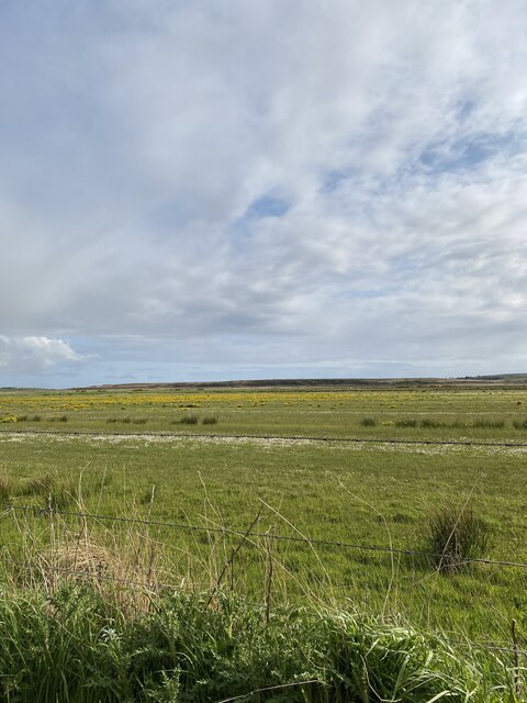
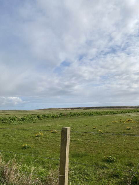
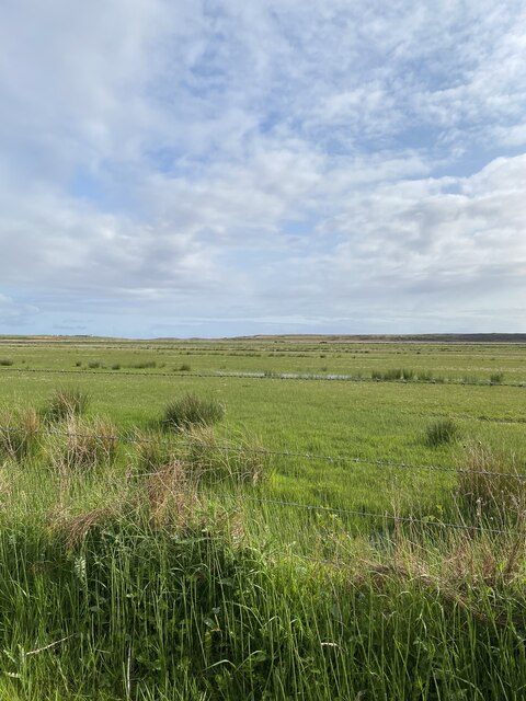
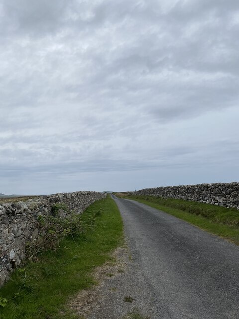
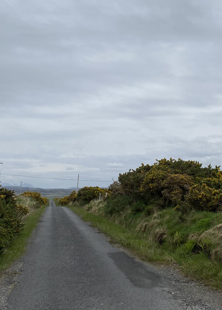
Coille Bheag, located in Argyllshire, Scotland, is a picturesque wood or forest that offers visitors a truly enchanting experience. Nestled in the heart of the Scottish Highlands, this natural wonderland is a haven for nature lovers and outdoor enthusiasts alike.
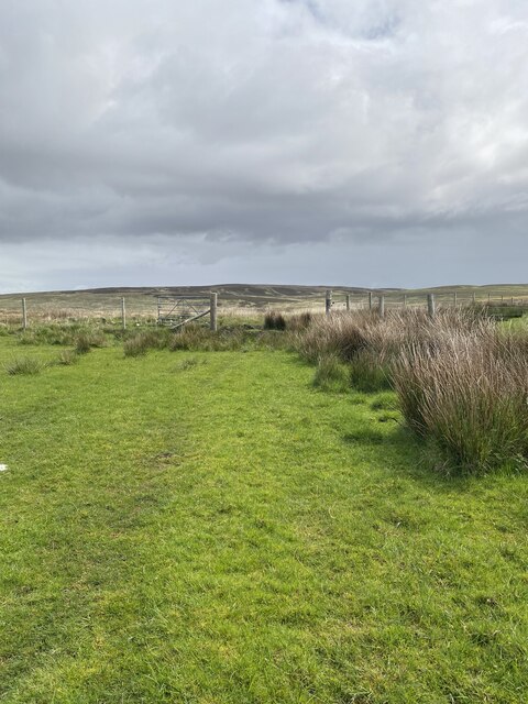
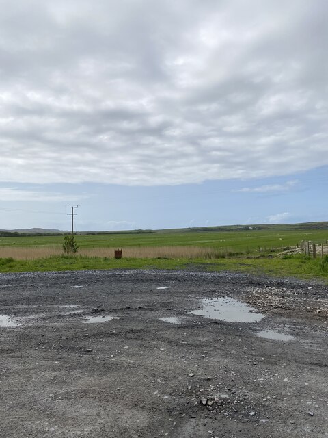
Spread across a vast area, Coille Bheag boasts a diverse range of flora and fauna. The wood is predominantly made up of native Scottish species such as oak, birch, and pine trees, which provide a stunning backdrop for those seeking tranquility and solitude. The forest floor is adorned with a carpet of moss, ferns, and wildflowers, creating a vibrant and colorful undergrowth.
Visitors to Coille Bheag can expect to encounter a variety of wildlife. The forest is home to a multitude of bird species, including the elusive capercaillie and the majestic golden eagle. Red deer, foxes, and badgers can also be spotted in the area, adding to the sense of wilderness and natural beauty.
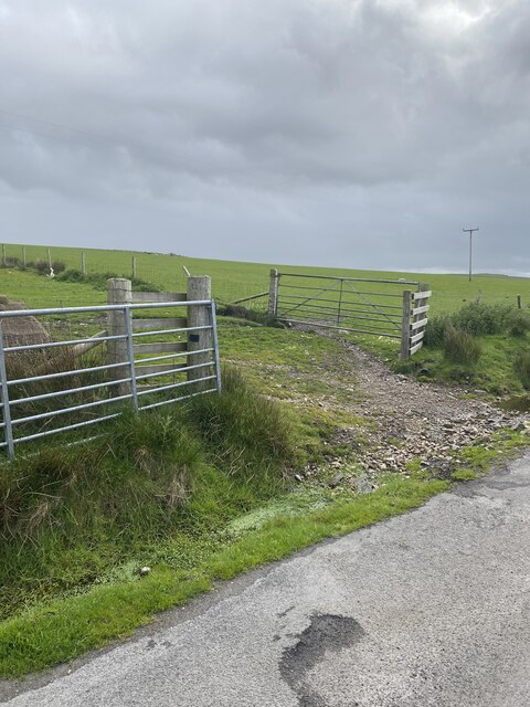
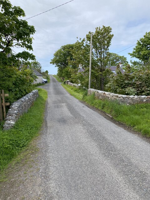
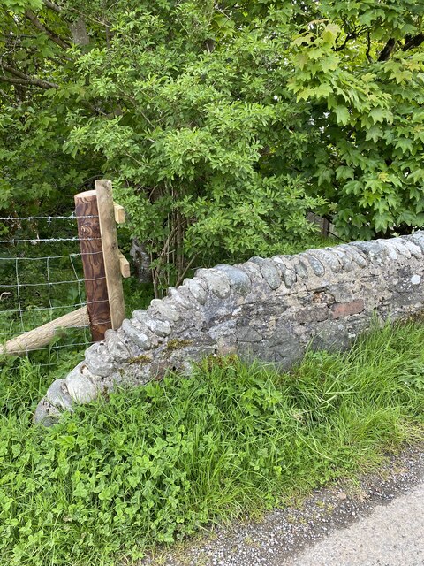
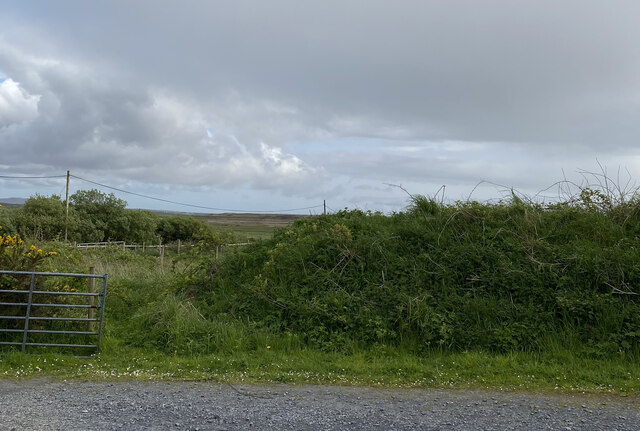
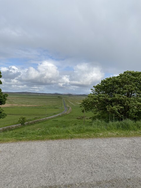
The wood offers several walking trails that cater to all levels of fitness and interest. Whether it's a leisurely stroll through the trees or a more challenging hike up the nearby hills, there is something for everyone. Along the way, visitors can enjoy breathtaking views of the surrounding mountains and lochs, making it an ideal destination for photographers and nature enthusiasts.
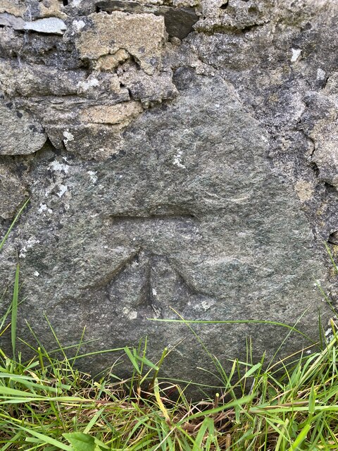
Coille Bheag is not only a natural paradise but also a place of historical significance. The wood is steeped in folklore and legends, with ancient ruins and standing stones scattered throughout. It is said that the forest holds a magical aura, transporting visitors to a bygone era of Scottish history.
In conclusion, Coille Bheag in Argyllshire offers a captivating blend of natural beauty, wildlife, and historical intrigue. Whether it's for a peaceful retreat or an adventure in the great outdoors, this wood is a must-visit destination for anyone seeking to experience the true essence of Scotland's enchanting wilderness.
If you have any feedback on the listing, please let us know in the comments section below.
Coille Bheag Images
Images are sourced within 2km of 55.826381/-6.3484497 or Grid Reference NR2767. Thanks to Geograph Open Source API. All images are credited.
Coille Bheag is located at Grid Ref: NR2767 (Lat: 55.826381, Lng: -6.3484497)
Unitary Authority: Argyll and Bute
Police Authority: Argyll and West Dunbartonshire
What 3 Words
///group.triangle.softest. Near Bridgend, Argyll & Bute
Nearby Locations
Related Wikis

Battle of Traigh Ghruinneart
The Battle of Traigh Ghruinneart or in Scottish Gaelic Blàr Tràigh Ghruineart or sometimes called the Battle of Gruinart Strand was a Scottish clan battle...

Gruinart Flats
The Gruinart Flats is a low-lying landform on the western part of the isle of Islay in Scotland. The locale is an important conservation area, having been...

Loch Gorm Castle
Loch Gorm Castle is a ruined castle located on Eilean Mòr (big island) on Loch Gorm, Islay, Scotland. It was once a stronghold of Clan Macdonald. The castle...

Loch Gruinart
Loch Gruinart (Scottish Gaelic: Loch Gruinneard from the Old Norse, meaning "shallow fjord") is a sea loch on the northern coast of isle of Islay in Scotland...
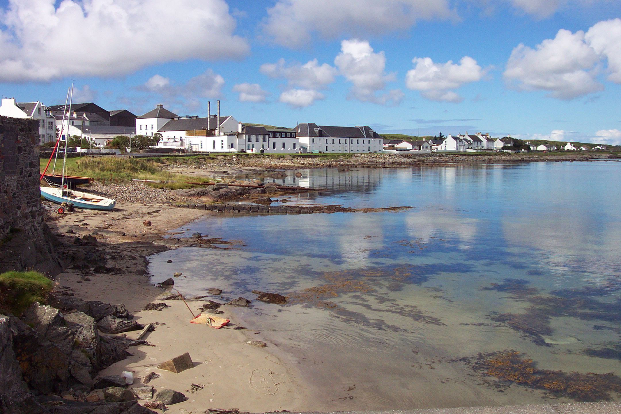
Bruichladdich distillery
Bruichladdich distillery ( bruukh-LAD-ee; Scottish Gaelic: [pɾuə'xl̪ˠat̪ɪç]) is a distillery on the Rhinns of the isle of Islay in Scotland. The distillery...

Kilchoman distillery
Kilchoman distillery (pronounced Kil-ho-man) is a distillery that produces single malt Scotch whisky on Islay, an island of the Inner Hebrides. Kilchoman...
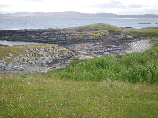
Ardnave Point
Ardnave Point (Scottish Gaelic, Àird an Naoimh) is a coastal promontory on the northwest of Islay, a Scottish island. This landform has a rocky northern...

Islay House
Islay House is a Category A listed country house near Bridgend, Islay in the county of Argyll, in western Scotland on the shores of Loch Indaal. ��2�...
Nearby Amenities
Located within 500m of 55.826381,-6.3484497Have you been to Coille Bheag?
Leave your review of Coille Bheag below (or comments, questions and feedback).