Upper Hael Wood
Wood, Forest in Monmouthshire
Wales
Upper Hael Wood
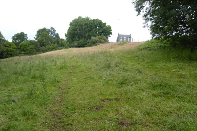
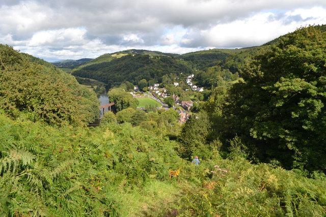
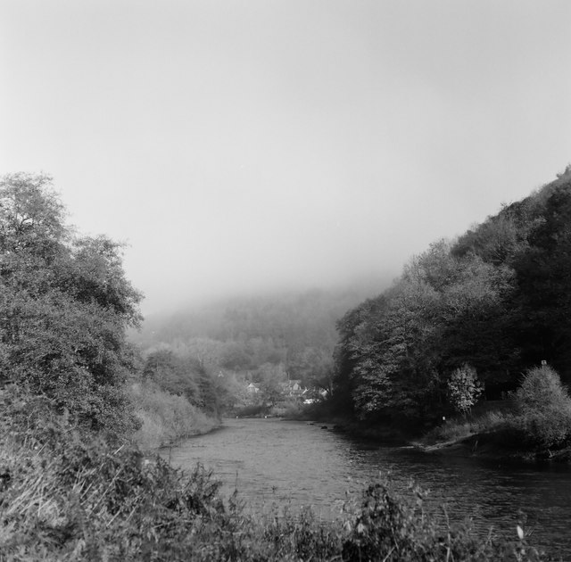
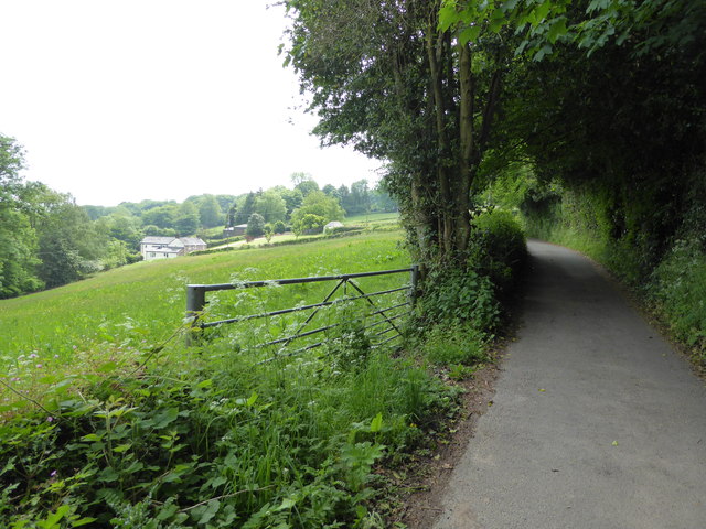
Upper Hael Wood is a charming forest located in Monmouthshire, Wales. Spanning over a vast area, this wood offers a tranquil and picturesque environment for nature enthusiasts and visitors alike. The wood is situated near the village of Hael, nestled in the rolling hills of the Welsh countryside.
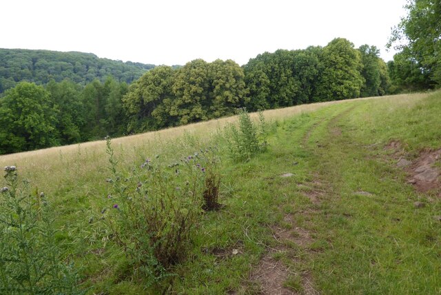
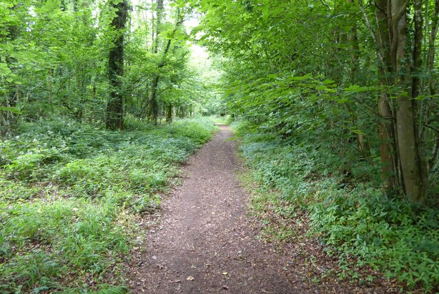
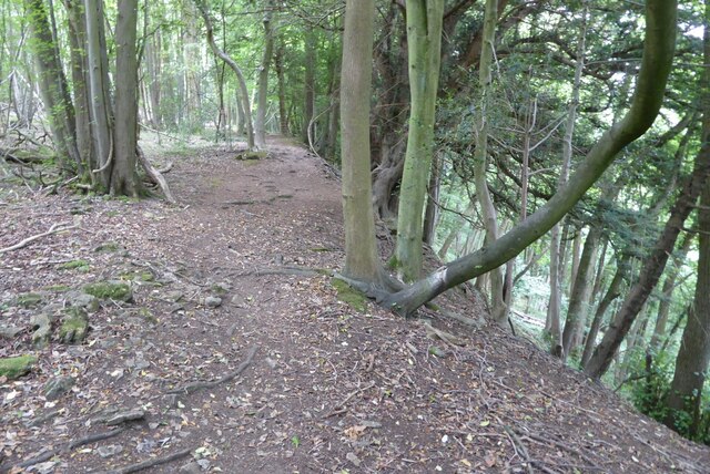
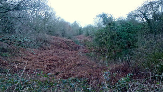
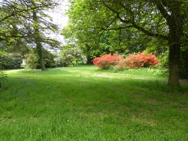
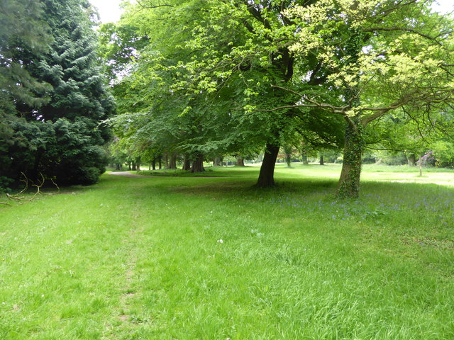
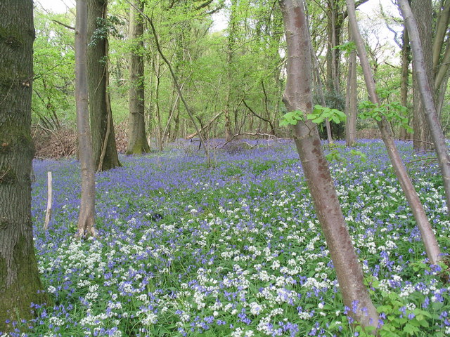
Covered in a diverse range of trees, Upper Hael Wood boasts a rich and varied ecosystem. The dominant tree species in the forest include oak, beech, and ash, which create a dense canopy that provides shade and shelter for a variety of wildlife. The forest floor is adorned with an array of wildflowers, ferns, and mosses, further enhancing the natural beauty of the wood.
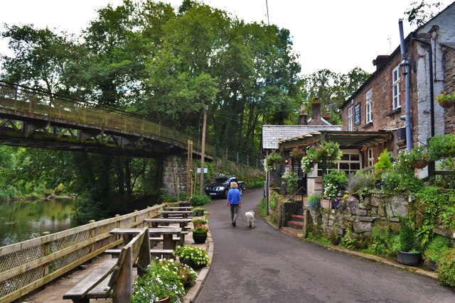
The wood is crisscrossed by a network of footpaths, allowing visitors to explore its enchanting trails. These paths wind through the forest, offering stunning views of the surrounding landscape and providing opportunities for peaceful walks and hikes. The wood is also home to a number of streams and small ponds, adding to its scenic charm.
Upper Hael Wood is not only a haven for nature lovers but also an important habitat for a wide range of wildlife. It is home to numerous bird species, including woodpeckers, owls, and various songbirds. Mammals such as deer, foxes, and badgers can also be spotted within the wood, along with an abundance of insects and other invertebrates.
Overall, Upper Hael Wood is a captivating destination for those seeking solace in nature. Its stunning scenery, diverse flora and fauna, and tranquil atmosphere make it a cherished natural treasure in Monmouthshire.
If you have any feedback on the listing, please let us know in the comments section below.
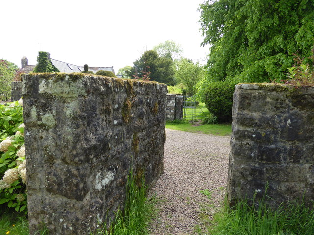
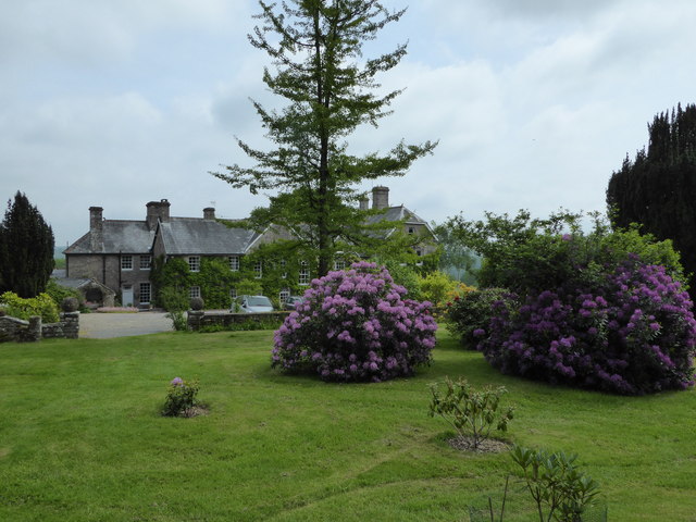
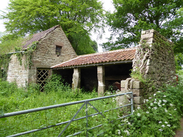
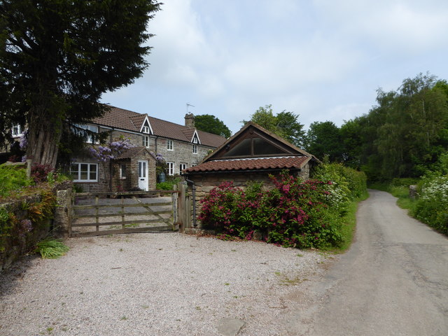
Upper Hael Wood Images
Images are sourced within 2km of 51.769505/-2.6834327 or Grid Reference SO5208. Thanks to Geograph Open Source API. All images are credited.

Upper Hael Wood is located at Grid Ref: SO5208 (Lat: 51.769505, Lng: -2.6834327)
Unitary Authority: Monmouthshire
Police Authority: Gwent
What 3 Words
///shifts.stalemate.moped. Near Mitchel Troy, Monmouthshire
Nearby Locations
Related Wikis

Lower Hael Wood
Lower Hael Wood is a semi-ancient woodland and Site of Special Scientific Interest (SSSI), noted for its biological characteristics, in Monmouthshire,...

The Argoed, Penallt
The Argoed, Penallt, Monmouthshire, Wales, is a Victorian country house dating from the 1860s, with earlier origins from the late 16th and early 17th centuries...

Graig Wood
Graig Wood is a Site of Special Scientific Interest (SSSI), noted for its biological characteristics, in Monmouthshire, south east Wales. It forms part...

The Whitebrook
The Whitebrook, formerly known as The Crown at Whitebrook, is a restaurant with rooms in Whitebrook, 6 miles (9.7 km) south-south-east of Monmouth, Monmouthshire...
Highbury Wood
Highbury Wood (grid reference SO540086) is a 50.74-hectare (125.4-acre) biological Site of Special Scientific Interest in Gloucestershire, notified in...

Penallt
Penallt (also spelled Penalt) is a village in Monmouthshire, Wales, situated high on a hill 4 kilometres (2+1⁄2 mi) south of Monmouth. In the centre of...
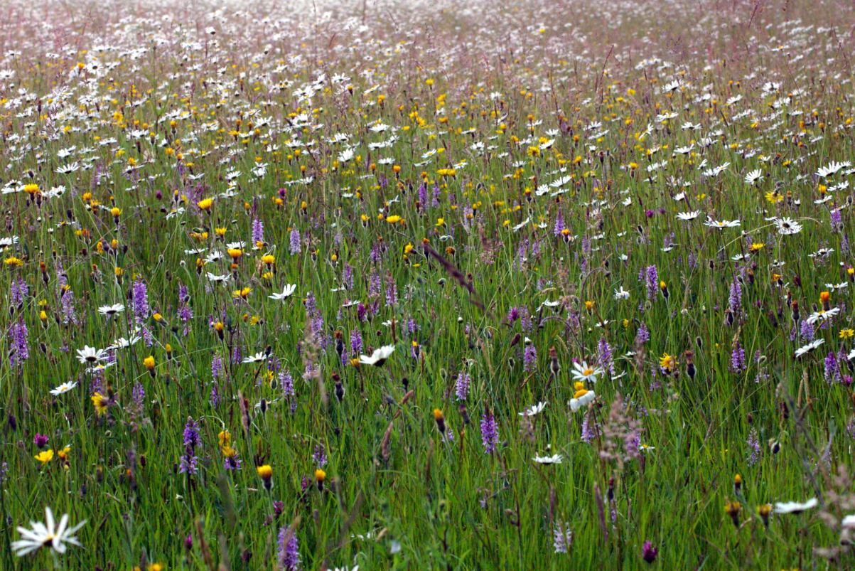
Pentwyn Farm Grasslands
Pentwyn Farm Grasslands is a nature reserve, and a series of agricultural fields, in Monmouthshire, southeast Wales. It was designated a Site of Special...

Whitebrook Halt railway station
Whitebrook Halt was a request stop on the former Wye Valley Railway. It was opened in 1927 to serve the village of Whitebrook. It was closed in 1959 when...
Related Videos

England Wales Border crossing
Cross from England into Wales across the bridge lovely area redbrook cheap parking.

Spring time in the Wye Valley
TBR walk on 20th Match 2022 led by Kelly.

Part three. Redbrook to Pandy. Offas Dyke trail
Redbrook to Pandy following the Offas Dyke path. I walked 177 miles north to Prestatyn. It took me 17 days to complete due to the ...

Among the wild flower meadows at Pentwyn Farm
A place unchanged for centuries and with some of the best wild flower meadows to experience, Pentwyn Farm is in the heart of ...
Nearby Amenities
Located within 500m of 51.769505,-2.6834327Have you been to Upper Hael Wood?
Leave your review of Upper Hael Wood below (or comments, questions and feedback).