Creigiau Wood Wyes Wood Common
Wood, Forest in Monmouthshire
Wales
Creigiau Wood Wyes Wood Common
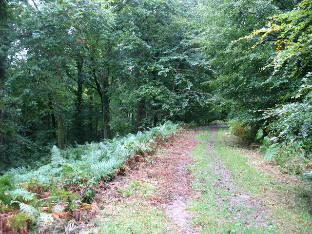
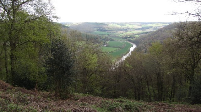
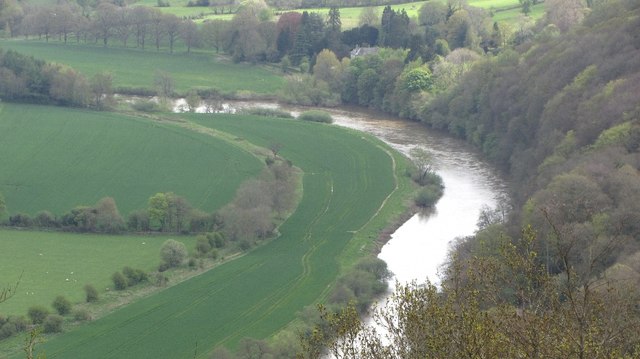
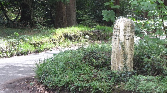
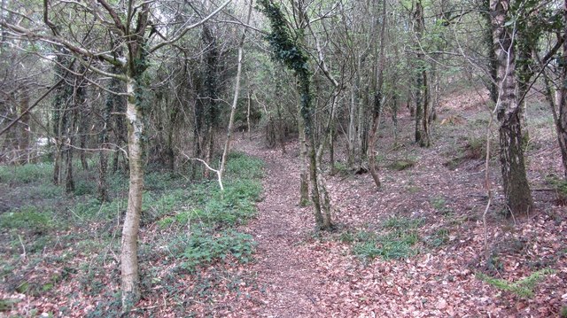
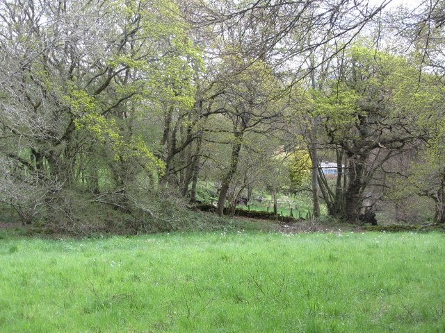
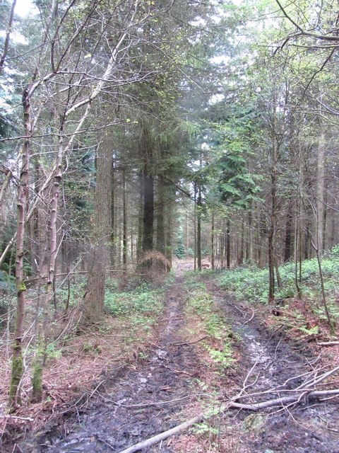
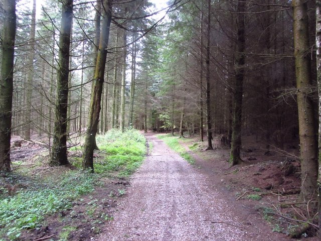
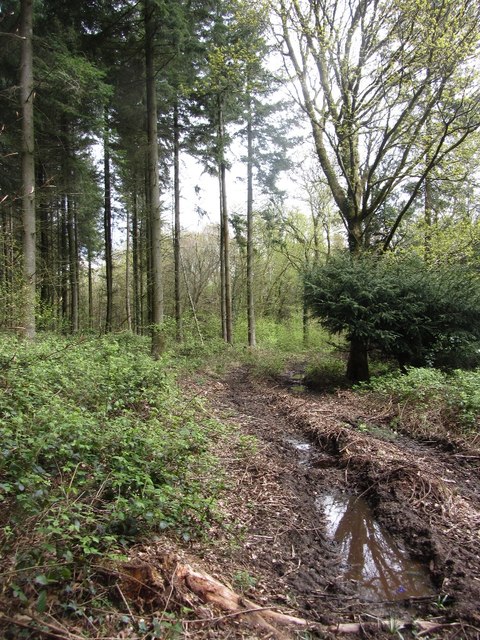
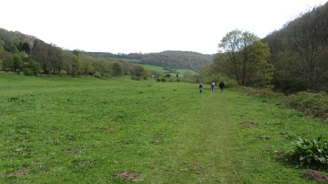
Creigiau Wood Wyes Wood Common is a picturesque woodland located in Monmouthshire, Wales. It covers an area of approximately 200 acres and is known for its diverse range of flora and fauna. The wood is situated on a hillside, offering stunning views of the surrounding countryside.
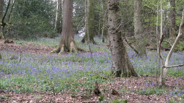
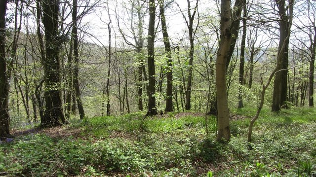
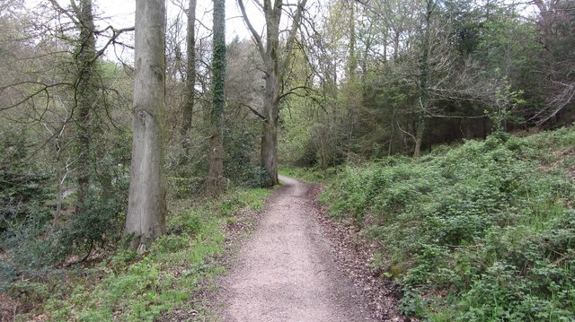
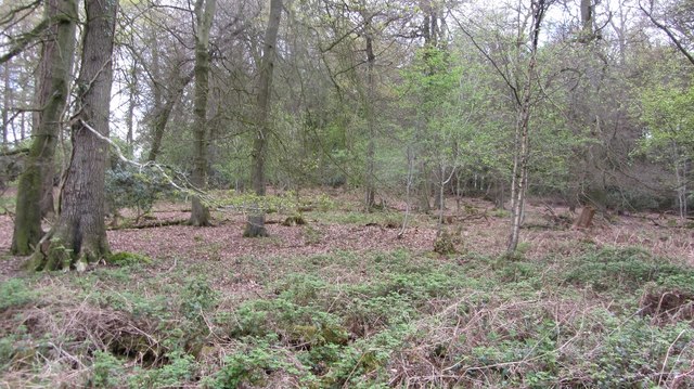
The woodland is predominantly composed of native broadleaf trees, including oak, beech, and birch. These trees create a dense canopy, providing shelter for a variety of wildlife. Visitors can expect to see an array of bird species, such as woodpeckers, owls, and various songbirds.
Creigiau Wood Wyes Wood Common is also home to a number of mammal species, including badgers, foxes, and bats. The wood is a designated Site of Special Scientific Interest (SSSI) due to its importance for nature conservation.
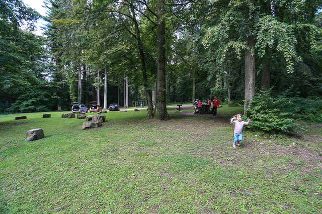
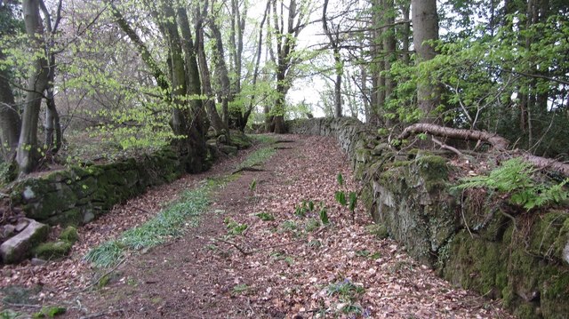
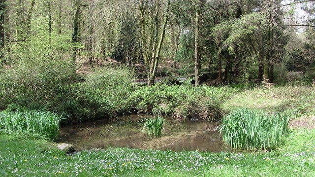
The woodland is popular with walkers and nature enthusiasts, who can explore the numerous trails that wind through the trees. There are also picnic areas and benches scattered throughout the wood, providing opportunities for visitors to relax and immerse themselves in the peaceful surroundings.
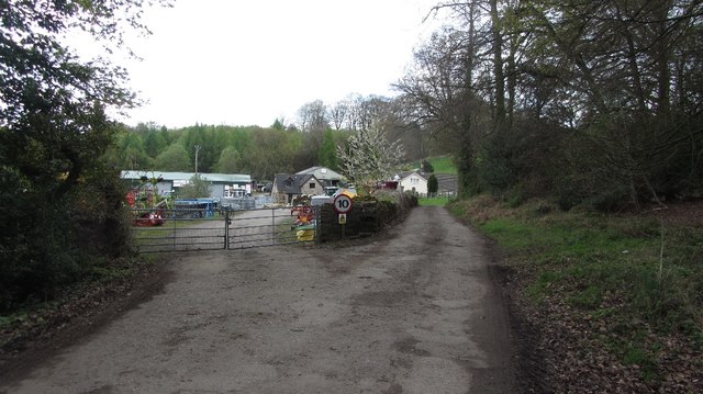
Creigiau Wood Wyes Wood Common is easily accessible, with a car park located nearby. It is a tranquil and beautiful location, perfect for those seeking a peaceful escape into nature. Whether it's birdwatching, walking, or simply enjoying the serenity of the woodland, Creigiau Wood Wyes Wood Common offers something for everyone.
If you have any feedback on the listing, please let us know in the comments section below.
Creigiau Wood Wyes Wood Common Images
Images are sourced within 2km of 51.71987/-2.6962046 or Grid Reference SO5202. Thanks to Geograph Open Source API. All images are credited.
Creigiau Wood Wyes Wood Common is located at Grid Ref: SO5202 (Lat: 51.71987, Lng: -2.6962046)
Unitary Authority: Monmouthshire
Police Authority: Gwent
What 3 Words
///embers.appendix.ounce. Near Tintern, Monmouthshire
Nearby Locations
Related Wikis

Catbrook
Catbrook (Welsh: Catffrwd) is a village in Monmouthshire, south east Wales, United Kingdom. The population in 2011 was 412. == Location == Catbrook is...

Botany Bay, Monmouthshire
Botany Bay, Monmouthshire is an area in the Wye Valley in Wales, above the village of Tintern. It is the location of a Gwent Scouts camp site covering...

The Hudnalls
The Hudnalls (SO533030 & SO540042 & SO545046 ) is a 94.4-hectare (233-acre) biological Site of Special Scientific Interest in Gloucestershire, notified...

Sylvan House Barn
Sylvan House Barn (grid reference SO534023) is a 0.005-hectare (0.012-acre) stone built barn near the village of St Briavels, in the Forest of Dean, Gloucestershire...

Llandogo
Llandogo (Welsh: Llaneuddogwy) is a small village in Monmouthshire, south Wales, between Monmouth and Chepstow in the lower reaches of the Wye Valley AONB...

Cleddon Hall
Cleddon Hall, formerly known as Ravenscroft, is a 19th-century Victorian country house in Trellech, Monmouthshire, Wales. In the later 19th century it...
Llandogo Halt railway station
Llandogo Halt was a request stop on the former Wye Valley Railway. It was opened on 9 March 1927 to serve the village of Llandogo. It was closed in 1959...

Church of St Oudoceus, Llandogo
The Church of St Oudoceus, Llandogo, Monmouthshire is a parish church built in 1859–1861. The church is dedicated to St Oudoceus (Euddogwy), an early Bishop...
Nearby Amenities
Located within 500m of 51.71987,-2.6962046Have you been to Creigiau Wood Wyes Wood Common?
Leave your review of Creigiau Wood Wyes Wood Common below (or comments, questions and feedback).