Botany Bay
Settlement in Monmouthshire
Wales
Botany Bay
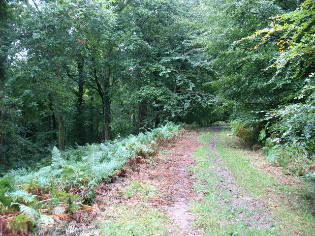
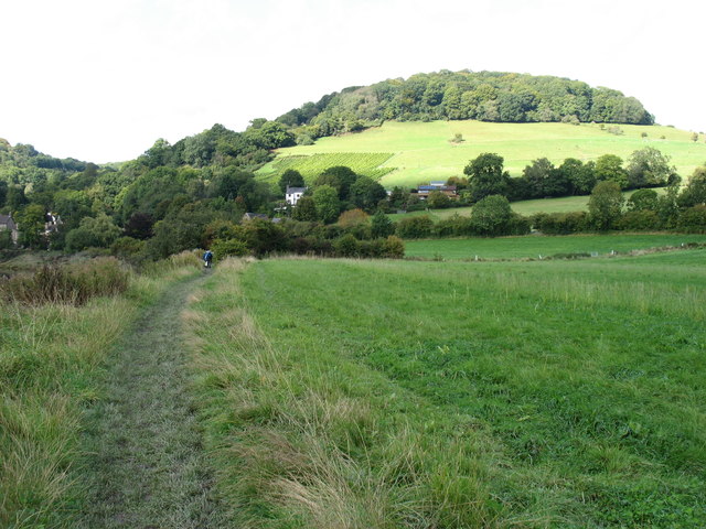
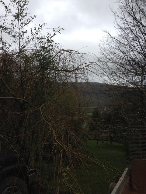
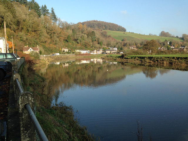
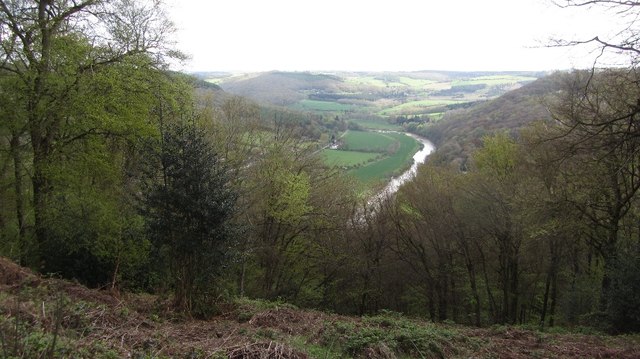
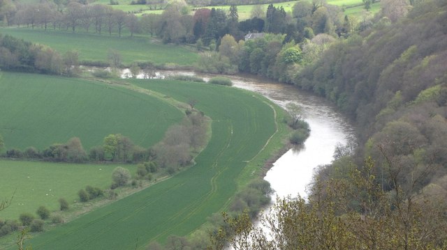
Botany Bay is a small village located in Monmouthshire, Wales. Situated approximately 3 miles north-west of the town of Chepstow, it lies on the eastern bank of the River Wye. The village is nestled in a picturesque area known for its natural beauty and is surrounded by rolling countryside and lush green fields.
Botany Bay takes its name from the historical association with the botanist, Francis Masson, who lived in the area during the late 18th century. Masson was a renowned explorer and plant collector, and it is believed that he named the village after himself and his passion for botany.
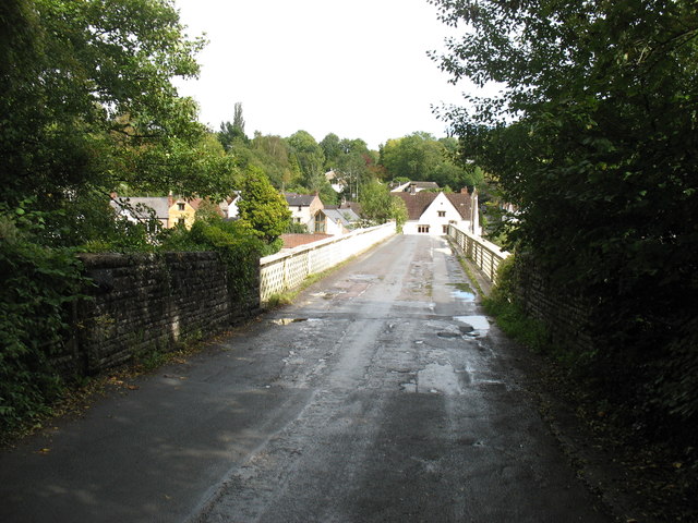
The village itself consists of a cluster of houses and cottages, many of which date back to the 19th century. The architecture reflects the traditional Welsh style, with stone walls and slate roofs. The village church, dedicated to St. Cadoc, is a prominent landmark and adds to the charm of the area.
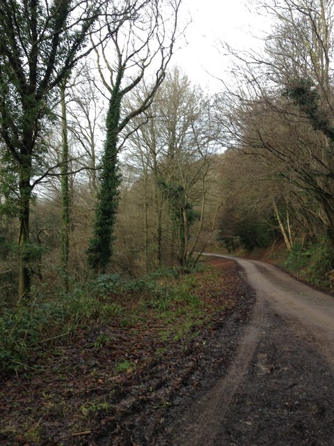
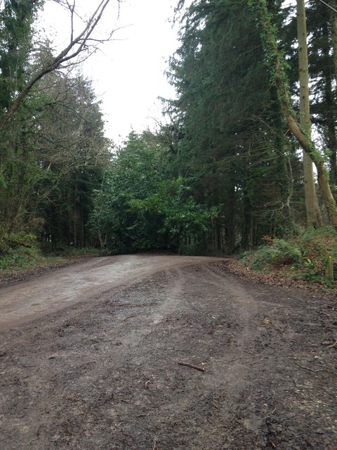
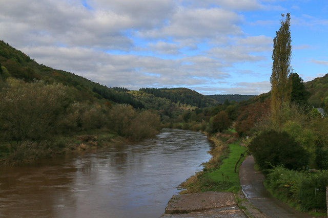
The surrounding countryside offers numerous opportunities for outdoor activities such as hiking, cycling, and fishing. The nearby River Wye is particularly popular for its salmon and trout fishing, attracting anglers from far and wide.
Although small in size, Botany Bay is well connected to the wider region. The town of Chepstow, with its amenities and transport links, is easily accessible, providing residents with access to shops, schools, and other services.
Overall, Botany Bay is a tranquil and picturesque village, offering residents and visitors a peaceful retreat in the heart of the Monmouthshire countryside.
If you have any feedback on the listing, please let us know in the comments section below.
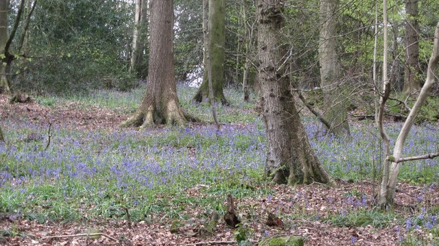
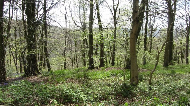
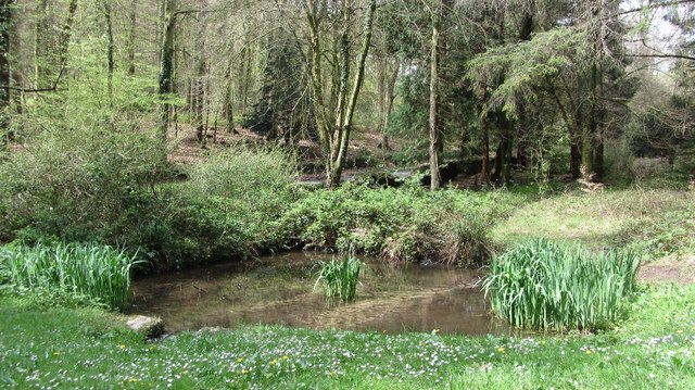
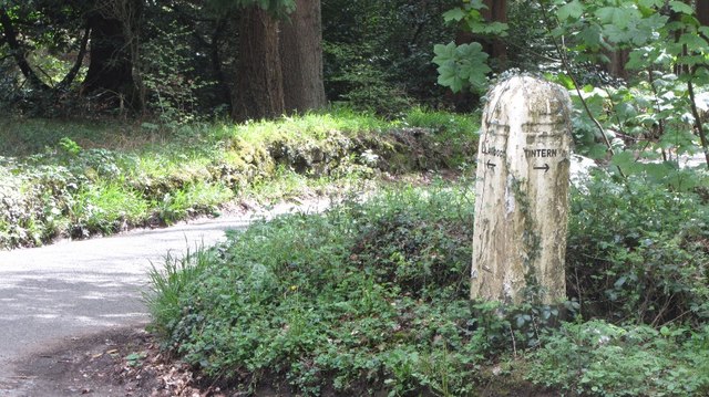
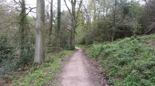
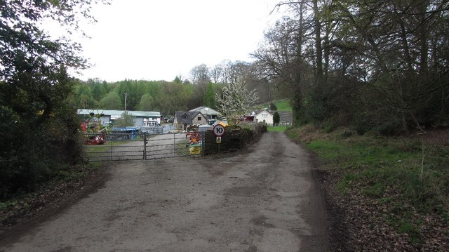
Botany Bay Images
Images are sourced within 2km of 51.71555/-2.691001 or Grid Reference SO5202. Thanks to Geograph Open Source API. All images are credited.
Botany Bay is located at Grid Ref: SO5202 (Lat: 51.71555, Lng: -2.691001)
Unitary Authority: Monmouthshire
Police Authority: Gwent
What 3 Words
///crass.debut.points. Near Tintern, Monmouthshire
Nearby Locations
Related Wikis

Botany Bay, Monmouthshire
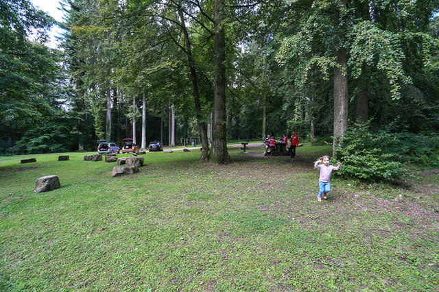
Botany Bay, Monmouthshire is an area in the Wye Valley in Wales, above the village of Tintern. It is the location of a Gwent Scouts camp site covering...

Sylvan House Barn
Sylvan House Barn (grid reference SO534023) is a 0.005-hectare (0.012-acre) stone built barn near the village of St Briavels, in the Forest of Dean, Gloucestershire...

The Hudnalls
The Hudnalls (SO533030 & SO540042 & SO545046 ) is a 94.4-hectare (233-acre) biological Site of Special Scientific Interest in Gloucestershire, notified...

Catbrook
Catbrook (Welsh: Catffrwd) is a village in Monmouthshire, south east Wales, United Kingdom. The population in 2011 was 412. == Location == Catbrook is...
Brockweir Halt railway station
Brockweir Halt was a request stop on the former Wye Valley Railway. It was opened to the public on 19 August 1929. It closed in 1959 when passenger services...

Llandogo
Llandogo (Welsh: Llaneuddogwy) is a small village in Monmouthshire, south Wales, between Monmouth and Chepstow in the lower reaches of the Wye Valley AONB...

Brockweir
Brockweir is a village in Hewelsfield and Brockweir civil parish, in the Forest of Dean District of Gloucestershire, England. The civil parish also includes...

Tintern Wireworks Branch
The Tintern Wireworks Branch was a short branch line on the Wye Valley Railway, crossing the River Wye between Monmouthshire, Wales, and Gloucestershire...
Nearby Amenities
Located within 500m of 51.71555,-2.691001Have you been to Botany Bay?
Leave your review of Botany Bay below (or comments, questions and feedback).