Cockshoot Wood

Wood, Forest in Monmouthshire

Wales

Cockshoot Wood

B4235 near Coppice Mawr
B4235 near Coppice Mawr Credit: Colin Pyle

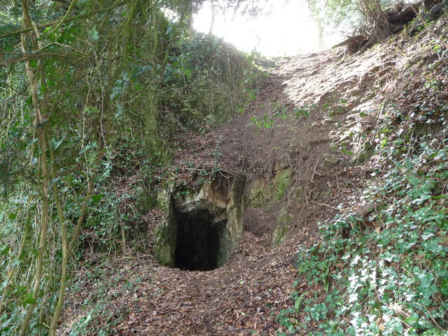
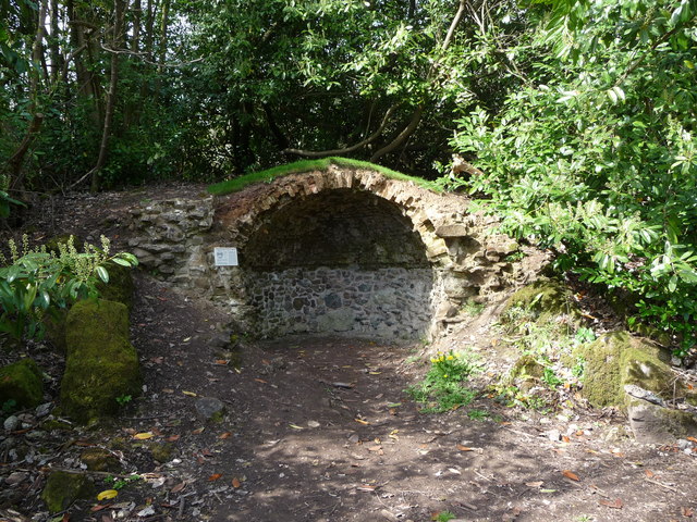
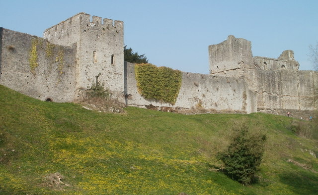
Cockshoot Wood is a picturesque woodland located in Monmouthshire, Wales. Covering an area of approximately 20 hectares, it is a popular destination for nature lovers and hikers alike. The woodland is characterized by its diverse range of trees, including oak, beech, ash, and birch, which create a vibrant and colorful landscape throughout the year.

The wood is known for its rich biodiversity, providing a habitat for a variety of wildlife species. Visitors may encounter various bird species such as woodpeckers, owls, and buzzards, as well as small mammals like squirrels, badgers, and foxes. The woodland floor is also home to an array of plants, wildflowers, and fungi, making it a great spot for nature enthusiasts and photographers.

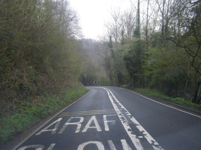
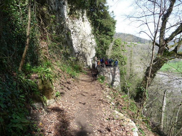
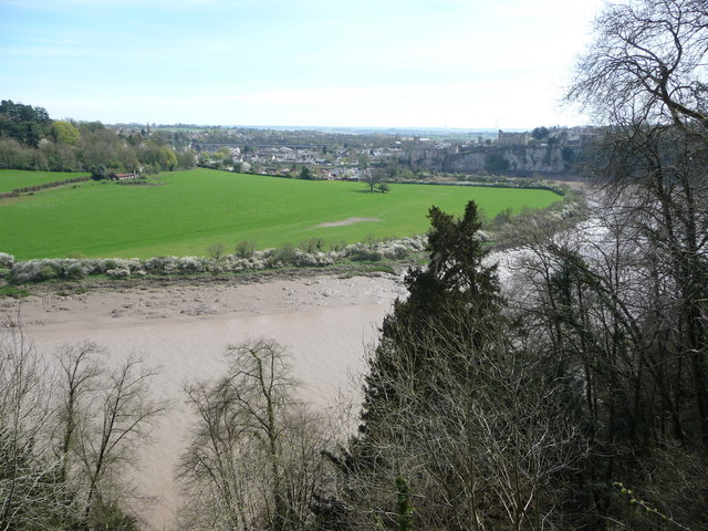
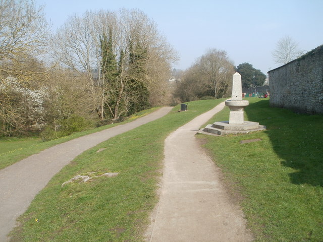
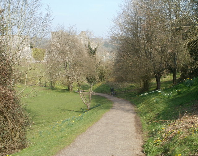
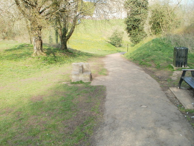
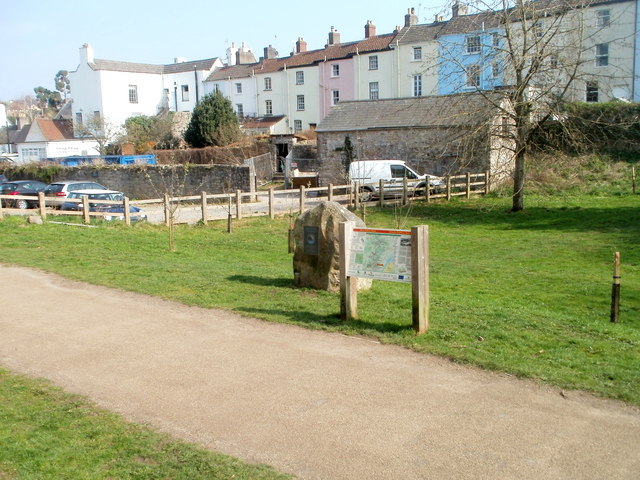
The wood features several well-marked trails, allowing visitors to explore its beauty at their own pace. These paths wind through the trees, offering breathtaking views of the surrounding countryside and the nearby River Wye. Additionally, there are several picnic areas and benches scattered throughout the wood, providing a perfect setting for a leisurely lunch or a moment of relaxation.

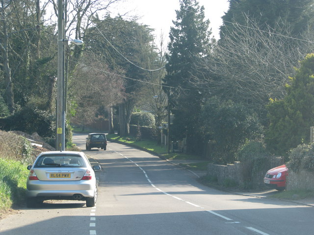
Cockshoot Wood is easily accessible, with ample parking available nearby. The wood is open to the public year-round, and there is no entrance fee, making it an ideal destination for a family outing or a peaceful solo retreat. Whether you are a nature lover, a hiker, or simply seeking a tranquil escape, Cockshoot Wood offers a serene and enchanting experience in the heart of Monmouthshire.

If you have any feedback on the listing, please let us know in the comments section below.

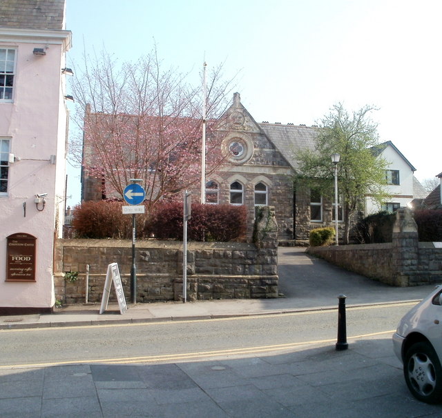
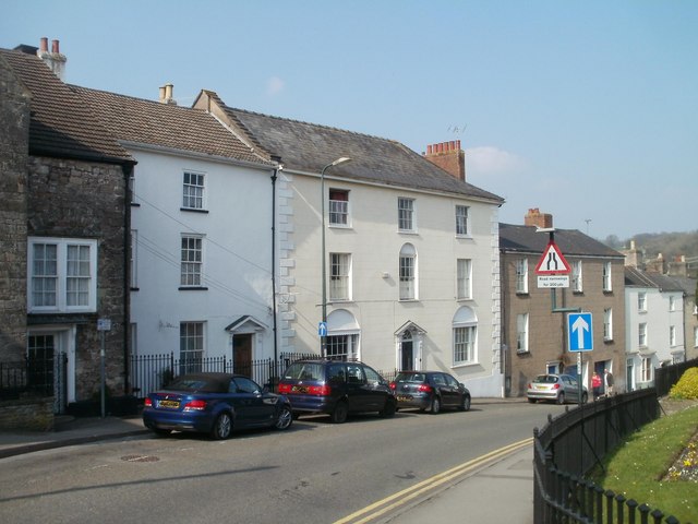
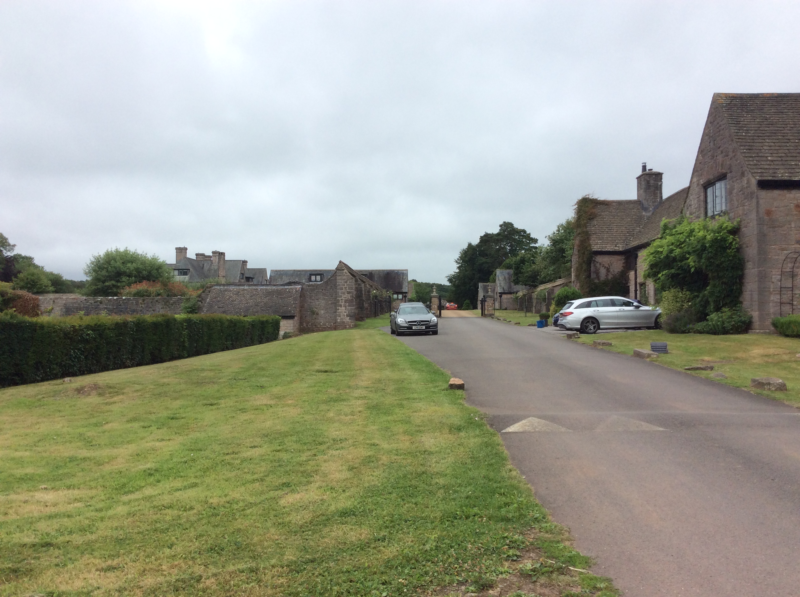
Cockshoot Wood Images

Images are sourced within 2km of 51.648045/-2.701116 or Grid Reference ST5194. Thanks to Geograph Open Source API. All images are credited.

B4235 near Coppice Mawr
Road drops into Howick
A group of walkers at the Giant's Cave in the Wye Valley This group of retired walkers were enjoying the viewing platform just outside the Giant's Cave as I approached and was spotted by their little dog. They were a mix of local and not so local fellers who were enjoying their firm friendships, relaxed banter, outdoor exercise and the good weather. Not a bad way to spend some of your retirement.
A group of walkers at the Giant's Cave in the Wye Valley
This group of retired walkers were enjoying the viewing platform just outside the Giant's Cave as I approached and was spotted by their little dog. They were a mix of local and not so local fellers who were enjoying their firm friendships, relaxed banter, outdoor exercise and the good weather. Not a bad way to spend some of your retirement.
The northern entrance to the Giant's Cave on the Wye Valley Walk Yes, you are expected to enter or exit through this aperture. It's easier and more fun than it looks. One of many interesting features on this section of the WVW.
The northern entrance to the Giant's Cave on the Wye Valley Walk
Yes, you are expected to enter or exit through this aperture. It's easier and more fun than it looks. One of many interesting features on this section of the WVW.
The Grotto in Piercefield Woods This feature, along with several others on a similar 'Romantic' theme, was installed in Piercefield Park and woods and comprised part of a tour through this area between around 1760 and maybe the 1820's. Gentry came from various parts of the country and toured the Wye Valley inspecting folly's, caves, walks, viewpoints and landscapes and often recording their opinions and thoughts in journals and publications. Originally this grotto was of course larger, more complete and lined inside with 'glittering crystalline minerals, glass fragments and iron and copper slag'. This would have created an elaborate decorated effect intended to mimic naturally occurring outcrops. I'm glad to see the Piercefield Walks features receiving some improvement.
The Grotto in Piercefield Woods
This feature, along with several others on a similar 'Romantic' theme, was installed in Piercefield Park and woods and comprised part of a tour through this area between around 1760 and maybe the 1820's. Gentry came from various parts of the country and toured the Wye Valley inspecting folly's, caves, walks, viewpoints and landscapes and often recording their opinions and thoughts in journals and publications. Originally this grotto was of course larger, more complete and lined inside with 'glittering crystalline minerals, glass fragments and iron and copper slag'. This would have created an elaborate decorated effect intended to mimic naturally occurring outcrops. I'm glad to see the Piercefield Walks features receiving some improvement.
View from The Alcove in Alcove Wood This is another welcome viewpoint on the Wye Valley Walk, just outside Chepstow and offers an excellent perspective on the castle, River Wye and the Lancaut peninsula.
View from The Alcove in Alcove Wood
This is another welcome viewpoint on the Wye Valley Walk, just outside Chepstow and offers an excellent perspective on the castle, River Wye and the Lancaut peninsula.
Chepstow Castle entrance A very impressive statement of Norman power and a great feature in Chepstow town.
Chepstow Castle entrance
A very impressive statement of Norman power and a great feature in Chepstow town.
Reaching the Winning Post, Chepstow Racecourse
General view, Chepstow Racecourse
Two paths through Castle Dell, Chepstow Viewed from the Welsh Street side. Castle Dell is a parklike area adjacent to Chepstow Castle on the south bank of the River Wye. On the right is a drinking fountain. <a title="https://www.geograph.org.uk/photo/545582" href="https://www.geograph.org.uk/photo/545582">Link</a>
Two paths through Castle Dell, Chepstow
Viewed from the Welsh Street side. Castle Dell is a parklike area adjacent to Chepstow Castle on the south bank of the River Wye. On the right is a drinking fountain. Link
Path through Castle Dell, Chepstow This is the central section of Castle Dell, which was opened to the public in 1886 when the Duke of Beaufort leased it to the town for one shilling a year.
Faintly visible in the background is Chepstow Castle, on the south bank of the River Wye.
Path through Castle Dell, Chepstow
This is the central section of Castle Dell, which was opened to the public in 1886 when the Duke of Beaufort leased it to the town for one shilling a year. Faintly visible in the background is Chepstow Castle, on the south bank of the River Wye.
SW corner of Chepstow Castle Viewed from Castle Dell.
SW corner of Chepstow Castle
Viewed from Castle Dell.
Southern wall of Chepstow Castle Part of the long southern wall, viewed from Castle Dell.
Southern wall of Chepstow Castle
Part of the long southern wall, viewed from Castle Dell.
Stone seat, Castle Dell, Chepstow On the left side of the path through Castle Dell is a stone seat made by stonemason John Hobbs to mark the diamond jubilee of Queen Victoria in 1897.
Stone seat, Castle Dell, Chepstow
On the left side of the path through Castle Dell is a stone seat made by stonemason John Hobbs to mark the diamond jubilee of Queen Victoria in 1897.
Southern end of Wye Valley Walk, Chepstow The large stone <a title="https://www.geograph.org.uk/photo/2365731" href="https://www.geograph.org.uk/photo/2365731">Link</a> next to an information board in Castle Dell marks the southern end of the 136 mile Wye Valley Walk.
Southern end of Wye Valley Walk, Chepstow
The large stone Link next to an information board in Castle Dell marks the southern end of the 136 mile Wye Valley Walk.
Plaque on stone at southern end of Wye Valley Walk, Chepstow The plaque, in Welsh and English, records that the stone <a title="https://www.geograph.org.uk/photo/2365712" href="https://www.geograph.org.uk/photo/2365712">Link</a> to which it is fixed, is from Plynlimon, near the source of the River Wye. It marks the southern end of the 136 mile (219 km) Wye Valley Walk. The Wye empties into the Severn at Beachley Point, about 4 kilometres to the SSE.
Plaque on stone at southern end of Wye Valley Walk, Chepstow
The plaque, in Welsh and English, records that the stone Link to which it is fixed, is from Plynlimon, near the source of the River Wye. It marks the southern end of the 136 mile (219 km) Wye Valley Walk. The Wye empties into the Severn at Beachley Point, about 4 kilometres to the SSE.
Former Chepstow Board School Set back from the east side of Bridge Street is the former Chepstow Board School which opened in 1878. The school, for girls and infants, was constructed by local builder Cuthbert Whalley for Chepstow School Board.
The Elementary Education Act of 1870 required the provision of a school place for every child aged from 5 to 12. Locally elected committees (School Boards) were empowered to build additional schools if needed.
Former Chepstow Board School
Set back from the east side of Bridge Street is the former Chepstow Board School which opened in 1878. The school, for girls and infants, was constructed by local builder Cuthbert Whalley for Chepstow School Board. The Elementary Education Act of 1870 required the provision of a school place for every child aged from 5 to 12. Locally elected committees (School Boards) were empowered to build additional schools if needed.
Late Georgian houses, Bridge Street, Chepstow The houses at the SW end of Bridge Street date from about 1800. The white building was formerly The Vicarage.
Late Georgian houses, Bridge Street, Chepstow
The houses at the SW end of Bridge Street date from about 1800. The white building was formerly The Vicarage.
Show me another place!

Cockshoot Wood is located at Grid Ref: ST5194 (Lat: 51.648045, Lng: -2.701116)

Unitary Authority: Monmouthshire

Police Authority: Gwent

What 3 Words

///surprised.approvals.baseline. Near Chepstow, Monmouthshire

Related Wikis

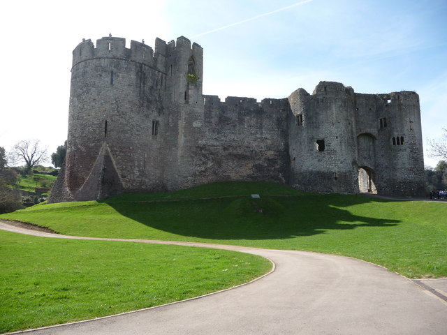
St Lawrence Hospital, Chepstow

St Lawrence Hospital (Welsh: Ysbyty St Lawrence) was a specialist plastic surgery and burns hospital on the west side of St Lawrence Road in Chepstow,...
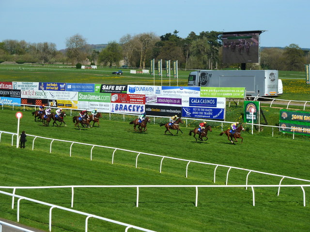
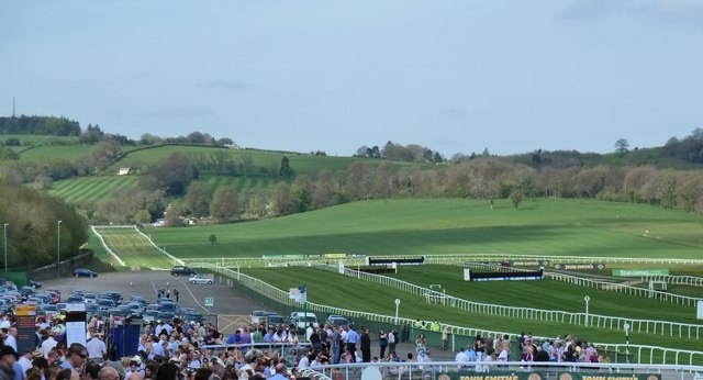
Chepstow Racecourse

Chepstow Racecourse is a thoroughbred horse racing course located just north of the town of Chepstow in Monmouthshire, Wales, near the southern end of...

Mounton

Mounton is a hamlet in Monmouthshire, south east Wales, United Kingdom, located two miles west of Chepstow in a rural setting. The parish was originally...

Mounton House

Mounton House, Mounton, Monmouthshire, Wales, is the last major country house built in the county, constructed between 1910 and 1912 by the architect and...

Chepstow Community Hospital

Chepstow Community Hospital (Welsh: Ysbyty Cymunedol Cas-gwent) is a community hospital located on the east side of St Lawrence Road in Chepstow, Monmouthshire...

Green Gathering

The Green Gathering, formerly known as the Big Green Gathering is a festival with an environmental and social justice focus, including workshops and talks...

Piercefield House

Piercefield House is a largely ruined neo-classical country house near St Arvans, Monmouthshire, Wales, about 1.5 miles (2.4 km) north of the centre of...

Howick Farmhouse, Itton

Howick Farmhouse, in the hamlet of Howick, near Itton, Monmouthshire is a farmhouse dating from the mid-16th century. It is a Grade II* listed building...

Nearby Amenities

Located within 500m of 51.648045,-2.701116
Parking
Parking: surface
Lat/Long: 51.6457498/-2.7051309
The data included in this document is from www.openstreetmap.org. The data is made available under ODbL.

Have you been to Cockshoot Wood?

Leave your review of Cockshoot Wood below (or comments, questions and feedback).