School Wood
Wood, Forest in Monmouthshire
Wales
School Wood
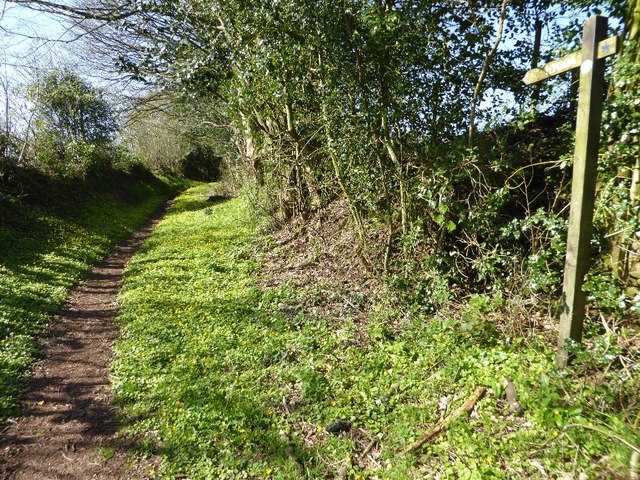
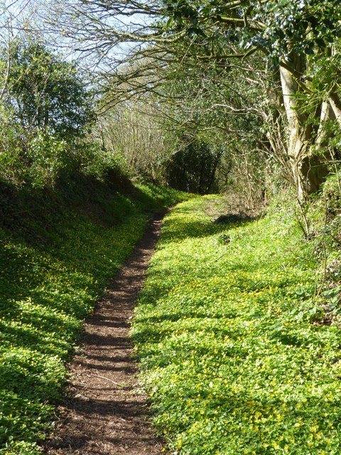
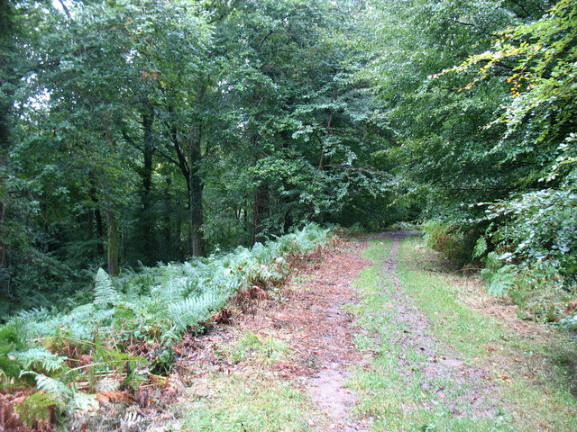
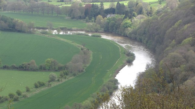
School Wood is a picturesque woodland located in Monmouthshire, a county in southeast Wales, United Kingdom. Covering an area of approximately 50 hectares, it is a popular destination for locals and visitors alike, attracting nature enthusiasts, hikers, and families seeking a tranquil escape from urban life.
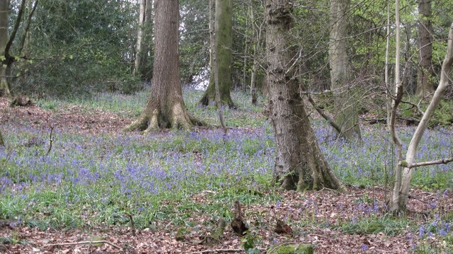
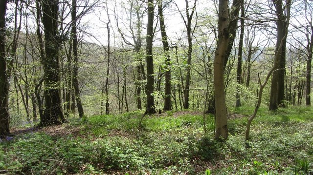
The wood is characterized by its diverse range of tree species, including oak, beech, hazel, and ash, creating a rich and varied habitat for wildlife. The dense canopy provides a cool and shady environment, perfect for exploring on a warm summer's day. Bluebells and wildflowers carpet the forest floor during spring, adding a burst of color to the landscape.
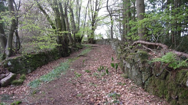
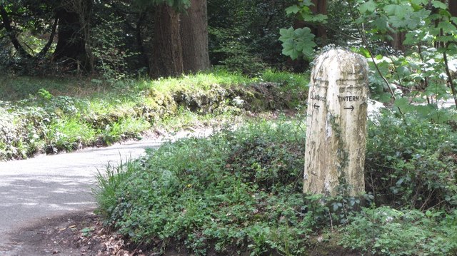
A network of well-maintained trails winds its way through School Wood, offering visitors the opportunity to discover its hidden treasures. Interpretive panels provide information about the flora and fauna found within the wood, enhancing the educational experience for visitors of all ages.
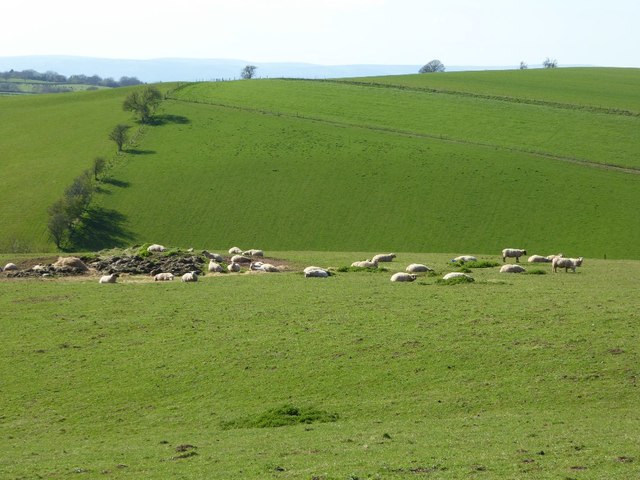
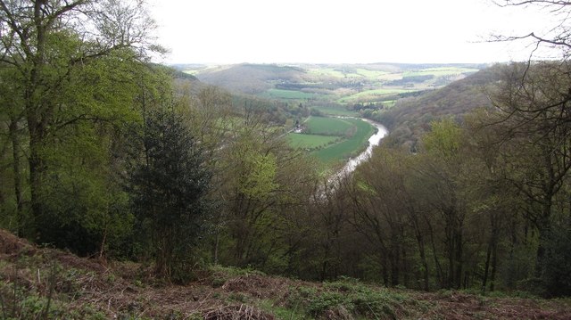
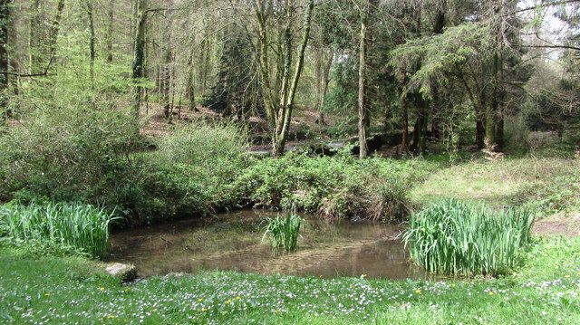
The wood is also home to a variety of wildlife, including deer, badgers, foxes, and a wide array of bird species. Birdwatchers can spot woodpeckers, tits, and finches among the trees, while lucky visitors may catch a glimpse of the elusive otter along the nearby river.
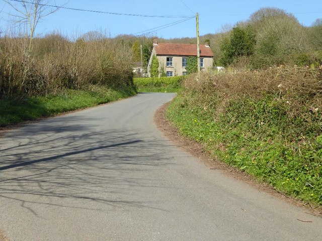
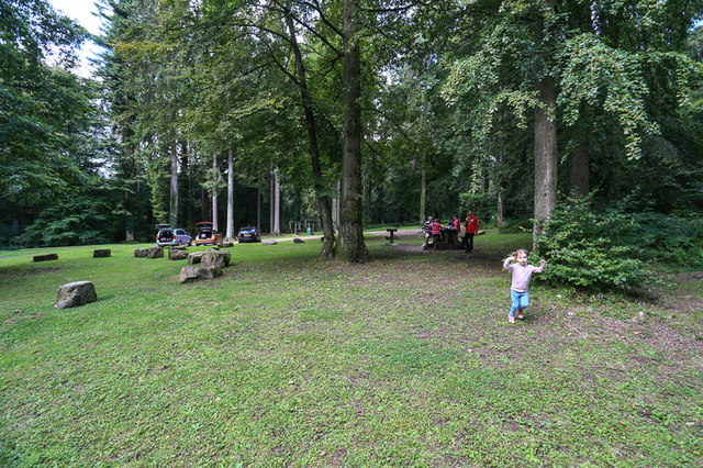
Access to School Wood is free, and there is ample parking available. The wood is open year-round, allowing visitors to enjoy its beauty in every season. Whether it's a peaceful walk, a picnic with family and friends, or simply a chance to reconnect with nature, School Wood offers a serene and enchanting experience for all who venture within its leafy embrace.
If you have any feedback on the listing, please let us know in the comments section below.
School Wood Images
Images are sourced within 2km of 51.722729/-2.7037332 or Grid Reference SO5102. Thanks to Geograph Open Source API. All images are credited.


School Wood is located at Grid Ref: SO5102 (Lat: 51.722729, Lng: -2.7037332)
Unitary Authority: Monmouthshire
Police Authority: Gwent
What 3 Words
///savings.snapped.enjoys. Near Tintern, Monmouthshire
Nearby Locations
Related Wikis

Catbrook
Catbrook (Welsh: Catffrwd) is a village in Monmouthshire, south east Wales, United Kingdom. The population in 2011 was 412. == Location == Catbrook is...

Cleddon Bog
Cleddon Bog (grid reference SO509039) is a bog in the vice-county of Monmouthshire which has been notified as a biological Site of Special Scientific Interest...

Cleddon Hall
Cleddon Hall, formerly known as Ravenscroft, is a 19th-century Victorian country house in Trellech, Monmouthshire, Wales. In the later 19th century it...

Llandogo
Llandogo (Welsh: Llaneuddogwy) is a small village in Monmouthshire, south Wales, between Monmouth and Chepstow in the lower reaches of the Wye Valley AONB...

Llandogo Halt railway station
Llandogo Halt was a request stop on the former Wye Valley Railway. It was opened on 9 March 1927 to serve the village of Llandogo. It was closed in 1959...

Church of St Oudoceus, Llandogo
The Church of St Oudoceus, Llandogo, Monmouthshire is a parish church built in 1859–1861. The church is dedicated to St Oudoceus (Euddogwy), an early Bishop...
Botany Bay, Monmouthshire
Botany Bay, Monmouthshire is an area in the Wye Valley in Wales, above the village of Tintern. It is the location of a Gwent Scouts camp site covering...

The Hudnalls
The Hudnalls (SO533030 & SO540042 & SO545046 ) is a 94.4-hectare (233-acre) biological Site of Special Scientific Interest in Gloucestershire, notified...
Related Videos
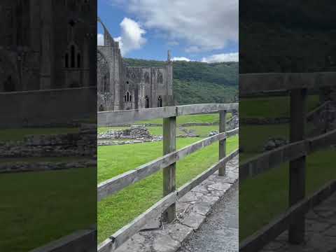
Tintern Abbey #travel #wyevalley #hiking #forest #adventure
Tintern abbey.

Nearby Amenities
Located within 500m of 51.722729,-2.7037332Have you been to School Wood?
Leave your review of School Wood below (or comments, questions and feedback).