Bubney Moor
Wood, Forest in Flintshire
Wales
Bubney Moor

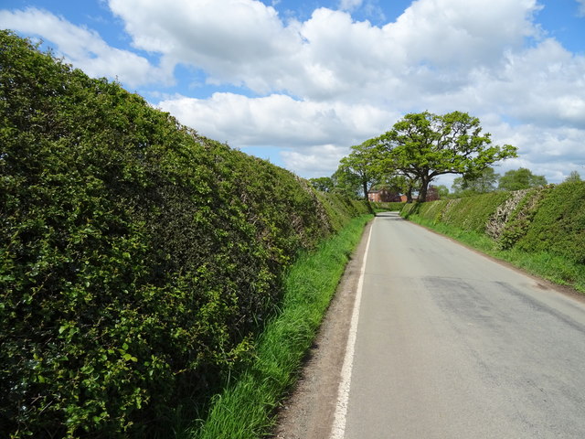
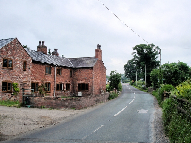
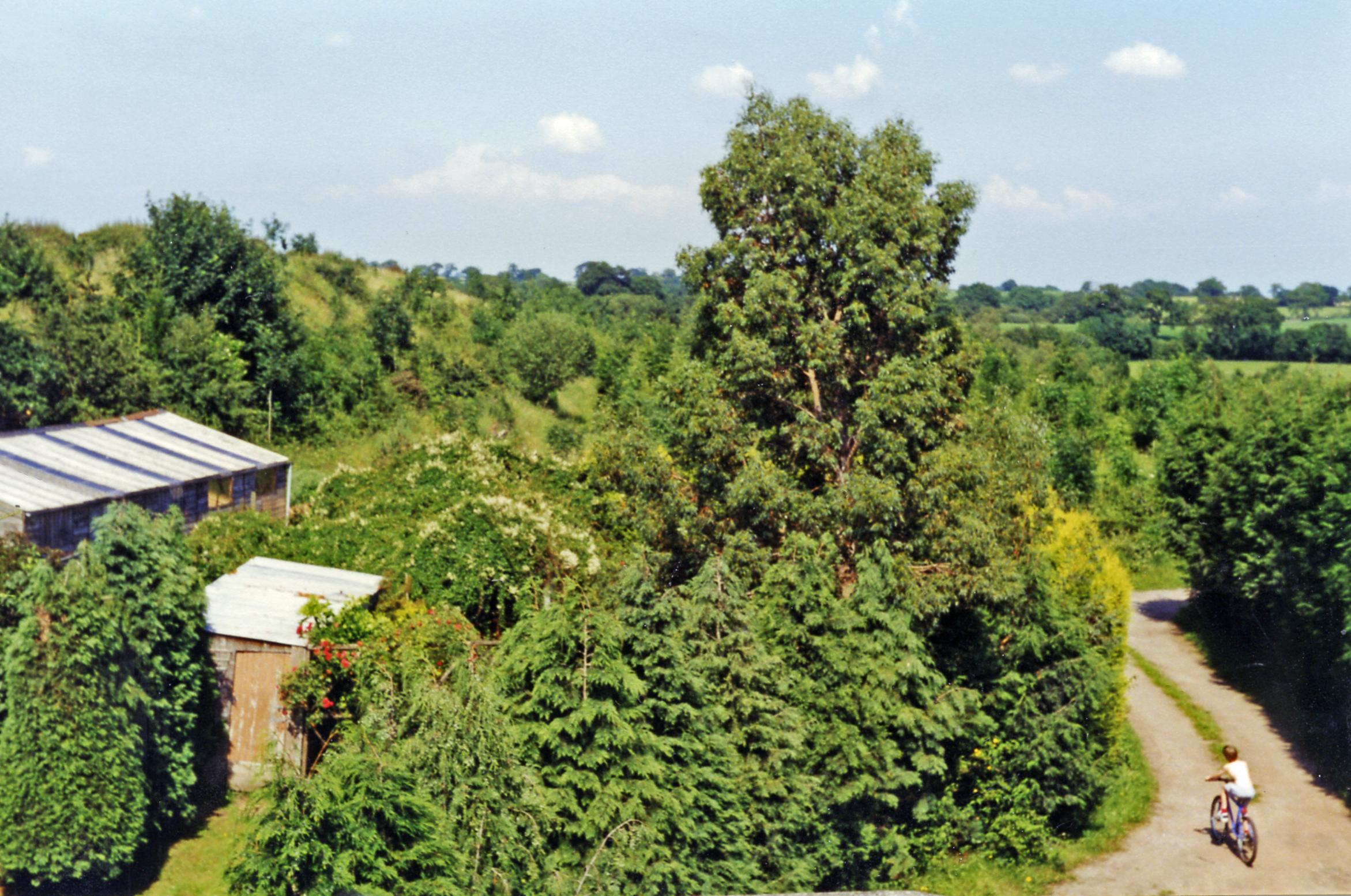
Bubney Moor is a picturesque woodland area located in the county of Flintshire, Wales. Covering an extensive area, this forested landscape offers a tranquil retreat for nature enthusiasts and outdoor adventurers alike. The moor is situated near the village of Bubney, surrounded by rolling hills and a rich diversity of flora and fauna.
The woodland is predominantly composed of deciduous trees, including oak, beech, and birch, which create a beautiful tapestry of colors during the autumn season. The forest floor is carpeted with various wildflowers, providing a vibrant display throughout the year. The area is also home to several species of birds, such as woodpeckers, owls, and songbirds, making it a haven for birdwatchers.
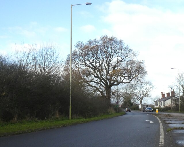
Bubney Moor offers a network of walking trails, allowing visitors to explore the forest at their own pace. The paths wind through the woodland, providing opportunities to spot wildlife and enjoy the peaceful surroundings. The moor is also popular for cycling and horse riding, with designated routes for these activities.
In addition to its natural beauty, Bubney Moor has historical significance. The area was once used for charcoal production, and remnants of charcoal platforms can still be found within the woodland. These platforms were used to burn wood to create charcoal, which was an essential fuel source in the past.
Overall, Bubney Moor is a captivating woodland area in Flintshire, offering a blend of natural beauty, recreational activities, and historical charm. Whether visitors are seeking a peaceful walk, a wildlife encounter, or simply a place to escape the hustle and bustle of daily life, Bubney Moor provides a serene and rejuvenating environment for all.
If you have any feedback on the listing, please let us know in the comments section below.
Bubney Moor Images
Images are sourced within 2km of 52.972528/-2.7337746 or Grid Reference SJ5041. Thanks to Geograph Open Source API. All images are credited.


Bubney Moor is located at Grid Ref: SJ5041 (Lat: 52.972528, Lng: -2.7337746)
Unitary Authority: Wrexham
Police Authority: North Wales
What 3 Words
///coveted.regarding.slams. Near Whitchurch, Shropshire
Nearby Locations
Related Wikis
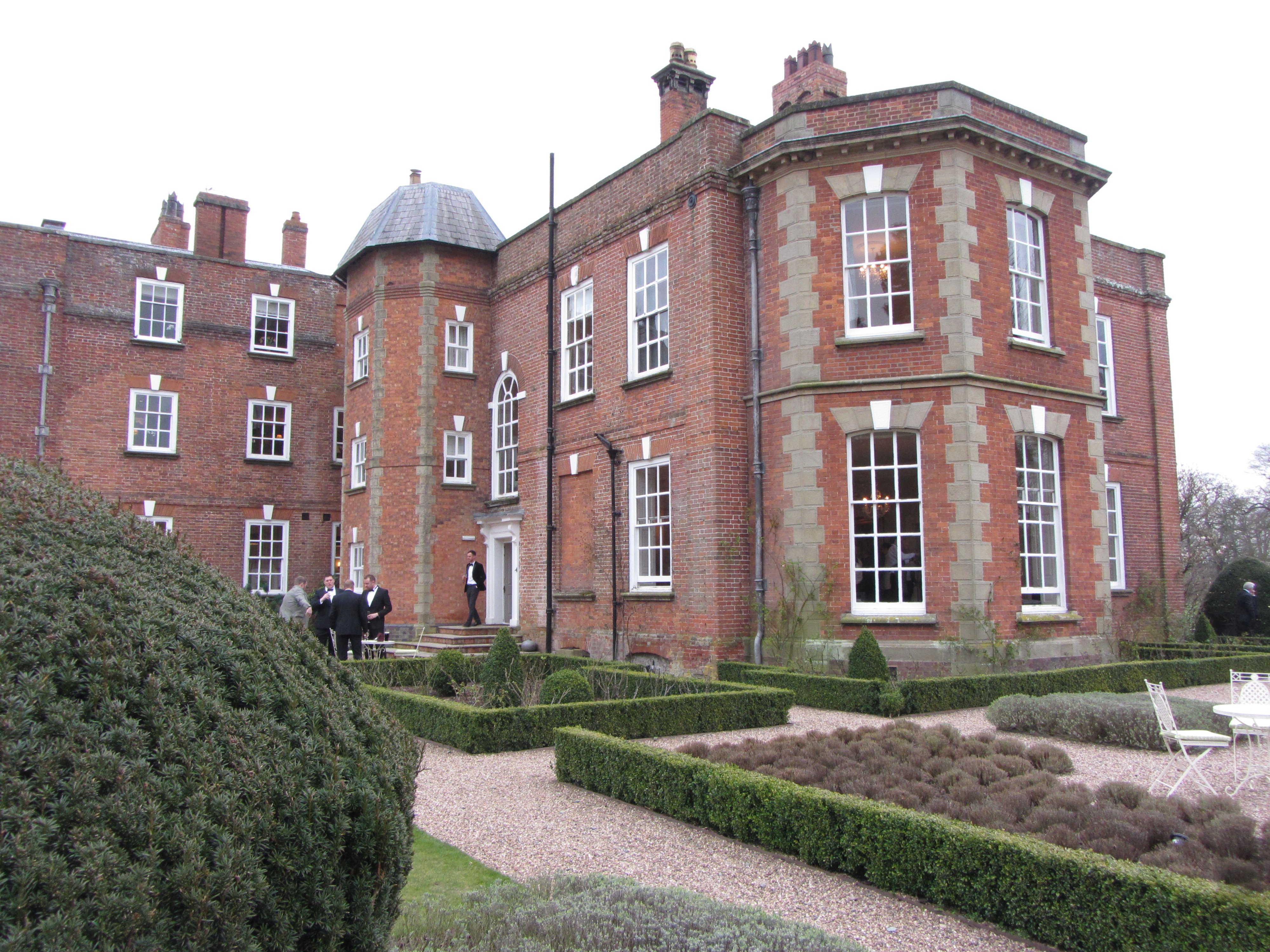
Iscoyd Park
Iscoyd Park is a three-storey redbrick country house in Wrexham County Borough, Wales. It has a slate roof built in the early 18th century. It was sold...

Whitewell, Wrexham
Whitewell () is a dispersed rural settlement, and surrounding ecclesiastical parish, in the community of Bronington, in the east of Wrexham County Borough...

Grindley Brook
Grindley Brook is a small village in Shropshire, England, on the A41 trunk road around 1.5 miles north west of the market town of Whitchurch. It is the...
Wigland
Wigland is a civil parish in the Borough of Cheshire West and Chester and ceremonial county of Cheshire in England. It, along with the neighbouring parishes...

Grindley Brook Halt railway station
Grindley Brook Halt was a railway halt in the village of Grindley Brook, Shropshire on the Whitchurch and Tattenhall Railway or Chester-Whitchurch Branch...
Agden, Cheshire West and Chester
Agden is a small civil parish in the unitary authority of Cheshire West and Chester and the ceremonial county of Cheshire, England. It is the site of...
Fenn's Bank railway station
Fenn's Bank railway station was a station in Bronington, Wrexham, Wales. The station was opened on 4 May 1863 and closed on 18 January 1965. == Details... ==

St Alkmund's Church, Whitchurch
St Alkmund's Church is an active Anglican parish church in Whitchurch, Shropshire, England. By tradition, this church was founded in the 900s CE by the...
Nearby Amenities
Located within 500m of 52.972528,-2.7337746Have you been to Bubney Moor?
Leave your review of Bubney Moor below (or comments, questions and feedback).