Cliff Wood
Wood, Forest in Monmouthshire
Wales
Cliff Wood
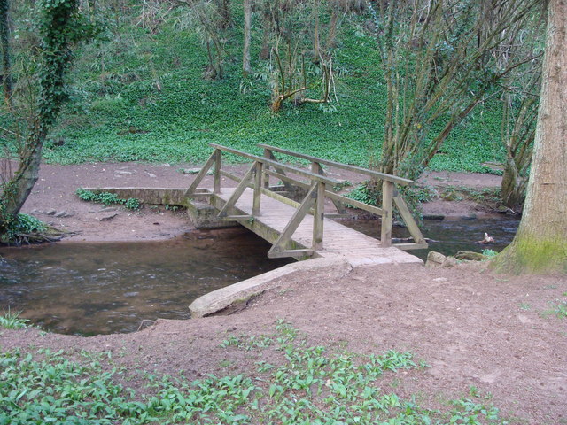
Cliff Wood is a picturesque forest located in Monmouthshire, Wales. Spanning over a vast expanse of land, it is renowned for its stunning natural beauty and diverse wildlife.
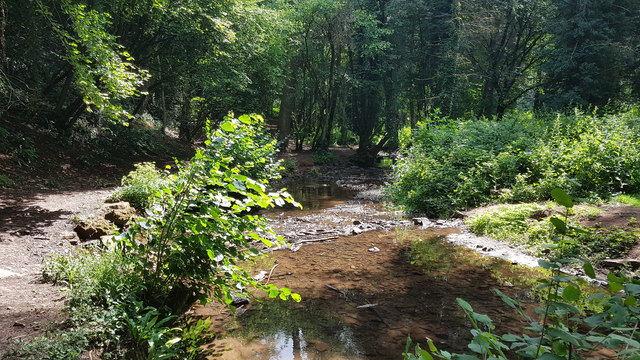
The forest is characterized by its towering cliffs, which give it its name, and is home to a plethora of trees, including oak, beech, and ash. These trees create a dense canopy, providing a habitat for various species of birds, mammals, and insects. The forest floor is adorned with a rich carpet of wildflowers and ferns, adding to its enchanting charm.
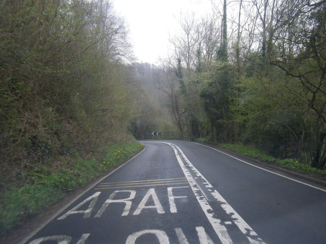
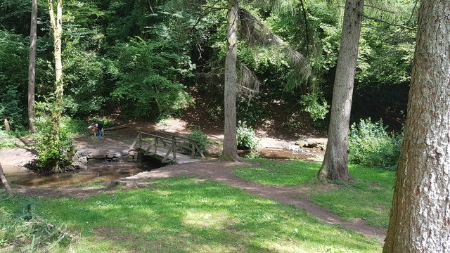
Cliff Wood offers numerous walking trails, allowing visitors to explore its captivating surroundings. These trails range from easy strolls to more challenging hikes, catering to all fitness levels. Along the way, visitors can enjoy breathtaking views of the surrounding countryside, including the rolling hills and meandering streams.
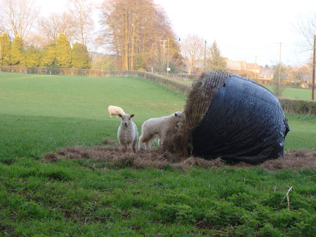
The forest is also a popular destination for birdwatchers and wildlife enthusiasts. It is home to a diverse range of bird species, including woodpeckers, owls, and various songbirds. Lucky visitors may even catch a glimpse of elusive mammals such as deer, foxes, and badgers.
Cliff Wood is a haven for outdoor enthusiasts, offering opportunities for activities such as camping, picnicking, and nature photography. It provides a tranquil escape from the hustle and bustle of city life, allowing visitors to immerse themselves in the beauty of nature.
Overall, Cliff Wood in Monmouthshire is a captivating forest that offers a unique blend of natural beauty, biodiversity, and recreational activities. It is a must-visit destination for anyone seeking a peaceful and rejuvenating experience in the heart of Wales.
If you have any feedback on the listing, please let us know in the comments section below.
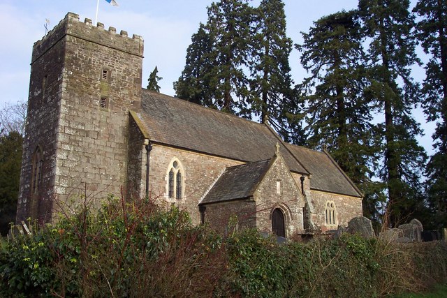
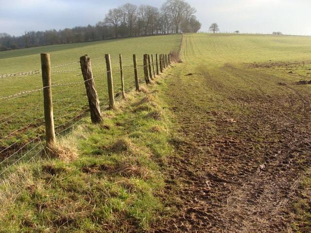
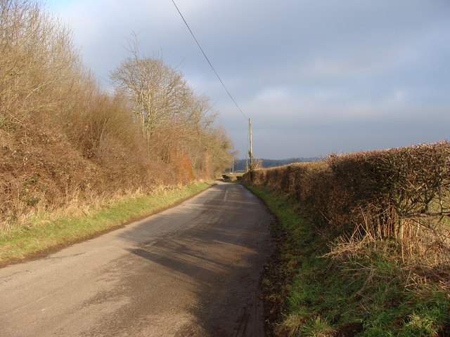
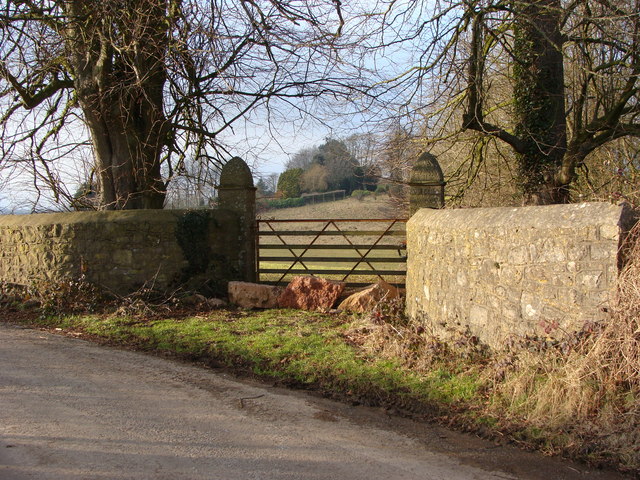
Cliff Wood Images
Images are sourced within 2km of 51.641643/-2.7131562 or Grid Reference ST5093. Thanks to Geograph Open Source API. All images are credited.


Cliff Wood is located at Grid Ref: ST5093 (Lat: 51.641643, Lng: -2.7131562)
Unitary Authority: Monmouthshire
Police Authority: Gwent
What 3 Words
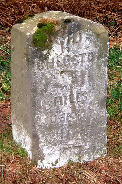
///hinders.scream.trendy. Near Chepstow, Monmouthshire
Nearby Locations
Related Wikis

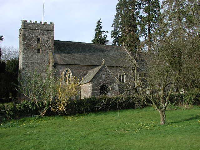
Mounton
Mounton is a hamlet in Monmouthshire, south east Wales, United Kingdom, located two miles west of Chepstow in a rural setting. The parish was originally...
Mounton House
Mounton House, Mounton, Monmouthshire, Wales, is the last major country house built in the county, constructed between 1910 and 1912 by the architect and...

St Lawrence Hospital, Chepstow
St Lawrence Hospital (Welsh: Ysbyty St Lawrence) was a specialist plastic surgery and burns hospital on the west side of St Lawrence Road in Chepstow,...

Howick Farmhouse, Itton
Howick Farmhouse, in the hamlet of Howick, near Itton, Monmouthshire is a farmhouse dating from the mid-16th century. It is a Grade II* listed building...

Itton
Itton (Welsh: Llanddinol), is a small village in Monmouthshire, south-east Wales, in the community of Devauden about 3 miles (4.8 km) north-west of Chepstow...
Pwllmeyric
Pwllmeyric (Welsh: Pwllmeurig) is a small village in Monmouthshire, Wales, located 1 mile south west of Chepstow, on the A48 road within the parish of...

Chepstow Community Hospital
Chepstow Community Hospital (Welsh: Ysbyty Cymunedol Cas-gwent) is a community hospital located on the east side of St Lawrence Road in Chepstow, Monmouthshire...
Itton Court
Itton Court, Itton, Devauden, Monmouthshire is a country house. The origin of the house was as an outstation for Chepstow Castle. In the 18th century,...
Nearby Amenities
Located within 500m of 51.641643,-2.7131562Have you been to Cliff Wood?
Leave your review of Cliff Wood below (or comments, questions and feedback).