Broad Oak Coppice

Wood, Forest in Flintshire

Wales

Broad Oak Coppice

A495 towards Whitchurch
A495 towards Whitchurch Credit: Steven Brown

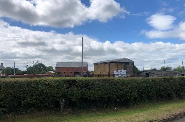
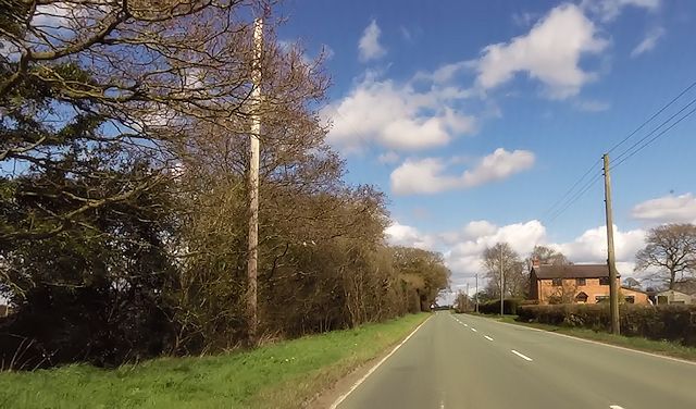
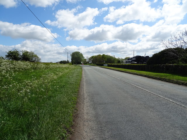
Broad Oak Coppice is a charming woodland located in Flintshire, Wales. Spanning over an area of approximately 50 acres, this coppice is a haven for nature enthusiasts and those seeking tranquility amidst the beauty of the natural world. The forest is situated just a few miles north of the town of Mold, making it easily accessible to visitors.

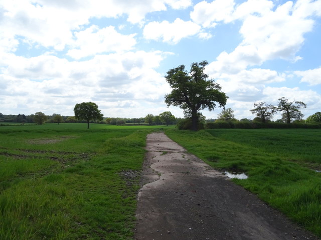
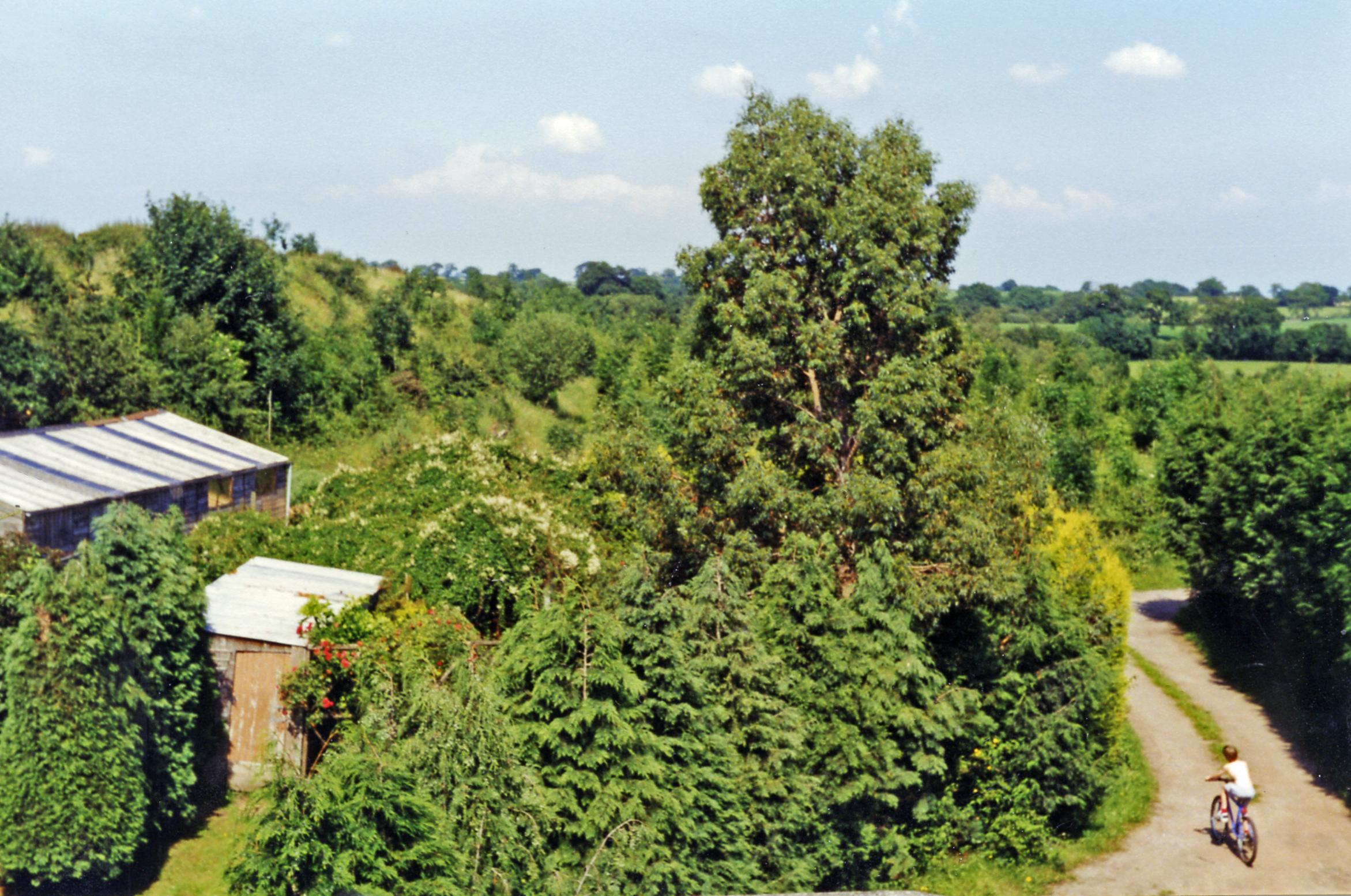
The woodland is predominantly composed of broadleaf trees, including oak, beech, and birch, which lend their name to the coppice. These trees create a dense canopy, providing shade and shelter for an array of wildlife. A diverse range of flora can also be found here, with bluebells and primroses carpeting the forest floor during the spring months.

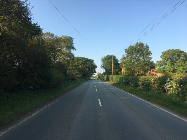
Broad Oak Coppice is crisscrossed with a network of footpaths, allowing visitors to explore and immerse themselves in the peaceful surroundings. These paths lead to various points of interest, including a small stream that meanders through the woodland, adding to its charm. The tranquil ambiance of the forest is perfect for leisurely walks, picnics, or simply sitting and observing the natural world.

The coppice is also home to a variety of bird species, including woodpeckers, thrushes, and owls, making it an ideal spot for birdwatching. Additionally, small mammals such as squirrels and rabbits can often be spotted darting through the undergrowth.

Broad Oak Coppice offers a retreat from the hustle and bustle of everyday life, allowing visitors to connect with nature and enjoy the serenity of the forest. With its picturesque setting and abundant wildlife, it is a must-visit location for nature lovers and those seeking a peaceful escape.

If you have any feedback on the listing, please let us know in the comments section below.

Broad Oak Coppice Images

Images are sourced within 2km of 52.961226/-2.7471158 or Grid Reference SJ4940. Thanks to Geograph Open Source API. All images are credited.

A495 towards Whitchurch
Farm buildings, Eglwys Cross
Cottage on Smokey Lane
Warren Cottages
Warren Cottages
Bridge 38  Llangollen Canal Old Man's Bridge
Bridge 38 Llangollen Canal
Old Man's Bridge
Bridge 39 Llangollen Canal Cambrian Railway Bridge. This carries the old Oswestry - Ellesmere - Whitchurch Line which opened in 1863 and was close in the Beeching cuts of the 1960's.
Bridge 39 Llangollen Canal
Cambrian Railway Bridge. This carries the old Oswestry - Ellesmere - Whitchurch Line which opened in 1863 and was close in the Beeching cuts of the 1960's.
Pinfold Cottage on A495
St Mary's church, Whitewell
A525 near Little Green Farm Looking south east.
A525 near Little Green Farm
Looking south east.
Crop field near Bank Farm Off the A525.
Crop field near Bank Farm
Off the A525.
Farm track near Bank Farm Looking south from the A525.
Farm track near Bank Farm
Looking south from the A525.
A525 towards Whitchurch Looking south east.
A525 towards Whitchurch
Looking south east.
House on the A525, Whitewell
Broad Oak Farm, Whitewell
A525 near Broad Oak Farm Looking east.
A525 near Broad Oak Farm
Looking east.
Elizabeth II postbox on the A525, The Chequer Postbox No. SY13 642.

See <a href="https://www.geograph.org.uk/photo/6142811">SJ4940 : Close up, Elizabeth II postbox on the A525, The Chequer</a> for close up.
Elizabeth II postbox on the A525, The Chequer
Close up, Elizabeth II postbox on the A525, The Chequer Postbox No. SY13 642.

See <a href="https://www.geograph.org.uk/photo/6142808">SJ4940 : Elizabeth II postbox on the A525, The Chequer</a> for context.
Close up, Elizabeth II postbox on the A525, The Chequer
Postbox No. SY13 642. See SJ4940 : Elizabeth II postbox on the A525, The Chequer for context.
Approaching Iscoed Wood On the Llywbr Maelor.
Approaching Iscoed Wood
On the Llywbr Maelor.
Show me another place!

Broad Oak Coppice is located at Grid Ref: SJ4940 (Lat: 52.961226, Lng: -2.7471158)

Unitary Authority: Wrexham

Police Authority: North Wales

What 3 Words

///minus.town.fluctuate. Near Whitchurch, Shropshire

Related Wikis

Whitewell, Wrexham

Whitewell () is a dispersed rural settlement, and surrounding ecclesiastical parish, in the community of Bronington, in the east of Wrexham County Borough...
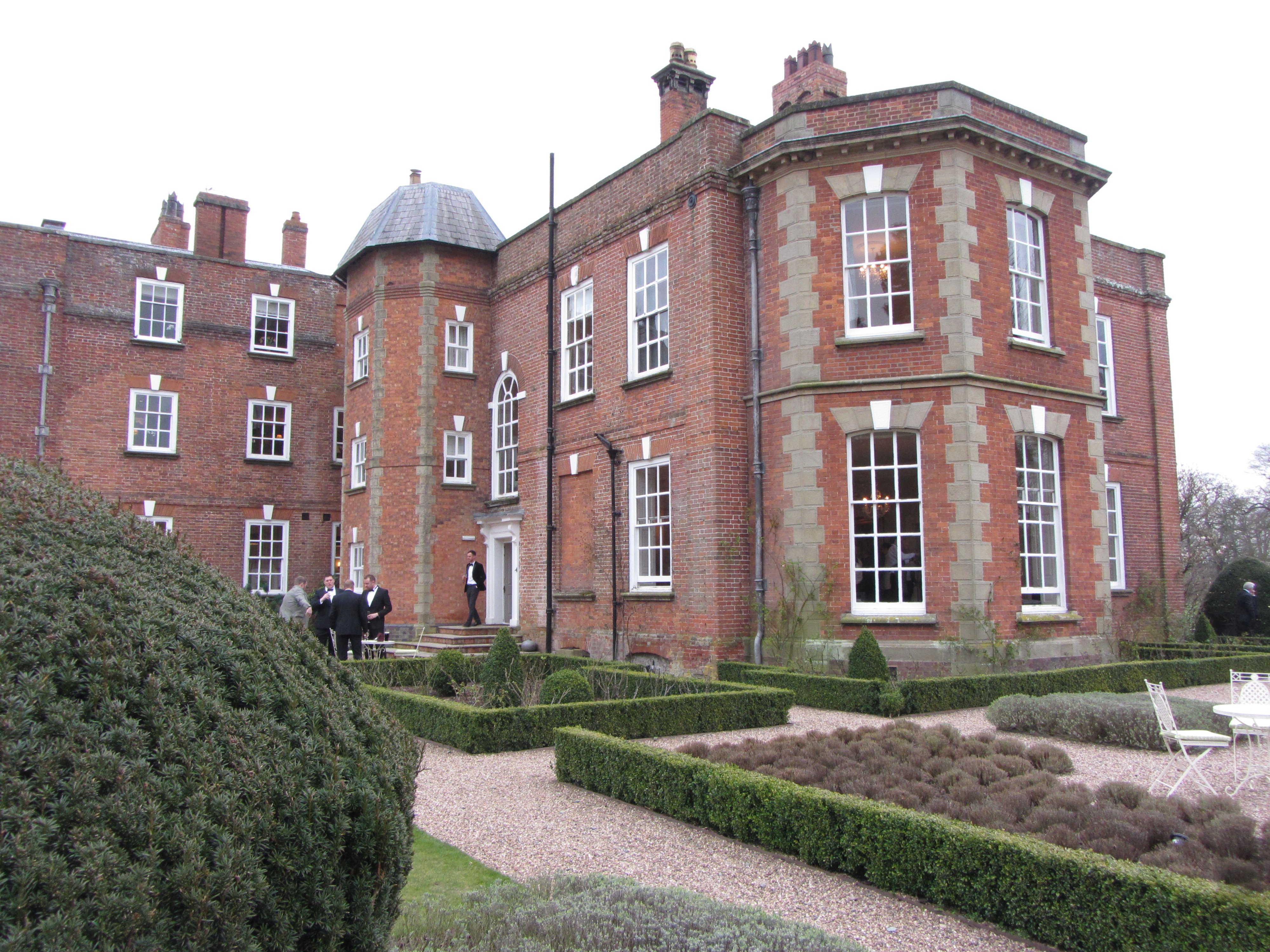
Iscoyd Park

Iscoyd Park is a three-storey redbrick country house in Wrexham County Borough, Wales. It has a slate roof built in the early 18th century. It was sold...

Fenn's Bank railway station

Fenn's Bank railway station was a station in Bronington, Wrexham, Wales. The station was opened on 4 May 1863 and closed on 18 January 1965. == Details... ==

Bronington

Bronington is a village and community in Wrexham County Borough, Wales, forming a large part of the Maelor Saesneg. Within the boundaries of the historic...

Nearby Amenities

Located within 500m of 52.961226,-2.7471158
Painters Green
Place: hamlet
Lat/Long: 52.963012/-2.7408673
Whitewell
Name Cy: Whitewell
Name En: Whitewell
Place: hamlet
Wikidata: Q48810782
Lat/Long: 52.9649722/-2.7505864
Direction: SE
Generator Method: photovoltaic
Generator Output Electricity: yes
Generator Solar Modules: 16
Generator Source: solar
Generator Type: solar_photovoltaic_panel
Location: roof
Power: generator
Source: Bing
Lat/Long: 52.9631845/-2.7433459
Direction: 175
Generator Method: photovoltaic
Generator Output Electricity: yes
Generator Solar Modules: 20
Generator Source: solar
Generator Type: solar_photovoltaic_panel
Location: roof
Power: generator
Source: Bing
Lat/Long: 52.9623593/-2.7515233
Direction: 95
Generator Method: photovoltaic
Generator Output Electricity: yes
Generator Solar Modules: 10
Generator Source: solar
Generator Type: solar_photovoltaic_panel
Location: roof
Power: generator
Lat/Long: 52.9574392/-2.7440869
Direction: 185
Generator Method: photovoltaic
Generator Output Electricity: yes
Generator Solar Modules: 4
Generator Source: solar
Generator Type: solar_photovoltaic_panel
Location: roof
Power: generator
Lat/Long: 52.9574133/-2.7441895
The data included in this document is from www.openstreetmap.org. The data is made available under ODbL.

Have you been to Broad Oak Coppice?

Leave your review of Broad Oak Coppice below (or comments, questions and feedback).