Chequer, The
Settlement in Flintshire
Wales
Chequer, The
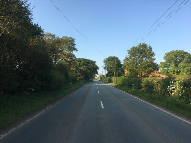
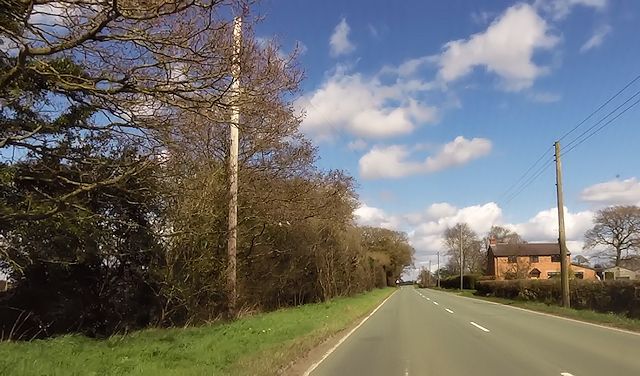
Chequer, The, Flintshire is a charming village located in the historic county of Flintshire, in northeastern Wales. Situated approximately 6 miles southwest of the town of Mold, it is nestled amidst picturesque countryside, offering residents and visitors a peaceful and idyllic setting.
The village takes its name from a prominent local landmark, The Chequer Inn, which has been a focal point of the community for centuries. This traditional pub, with its whitewashed walls and thatched roof, exudes a sense of historical charm and character. The Chequer Inn is renowned for its warm hospitality, serving a range of traditional Welsh dishes and locally sourced ales.
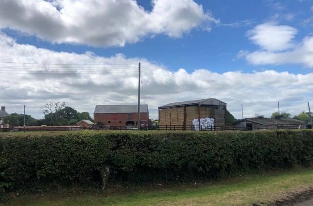
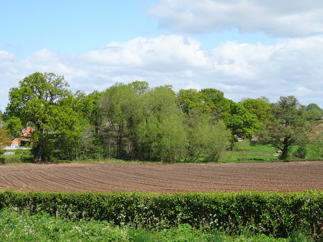
Surrounded by rolling hills and green fields, the village is a haven for nature lovers and outdoor enthusiasts. The area offers numerous walking and cycling trails, allowing visitors to explore the stunning Flintshire countryside. Additionally, the nearby River Alyn provides opportunities for fishing and boating.
Despite its rural setting, Chequer, The, Flintshire is conveniently located close to a range of amenities. The nearby town of Mold offers a wide range of shops, supermarkets, and services, ensuring that residents have easy access to all their daily needs. Furthermore, the village is well-connected to the rest of Flintshire, with regular bus services and good road links to surrounding towns and cities.
In summary, Chequer, The, Flintshire is a delightful village that seamlessly blends history, natural beauty, and modern convenience. With its charming pub, stunning countryside, and proximity to amenities, it is a truly wonderful place to call home or visit in Flintshire.
If you have any feedback on the listing, please let us know in the comments section below.
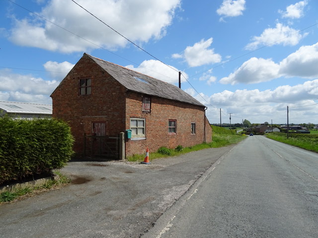
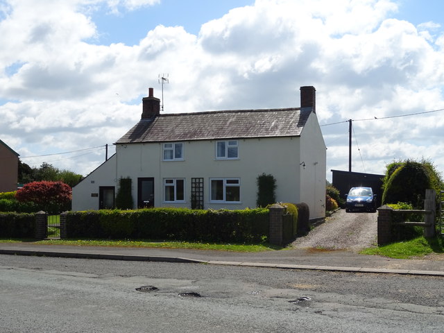
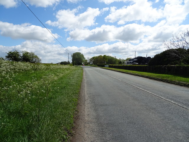
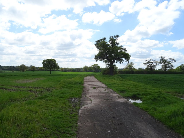
Chequer, The Images
Images are sourced within 2km of 52.960775/-2.758774 or Grid Reference SJ4940. Thanks to Geograph Open Source API. All images are credited.


Chequer, The is located at Grid Ref: SJ4940 (Lat: 52.960775, Lng: -2.758774)
Unitary Authority: Wrexham
Police Authority: North Wales
Also known as: The Chequer
What 3 Words
///cadet.barmaid.fillings. Near Whitchurch, Shropshire
Nearby Locations
Related Wikis

Whitewell, Wrexham
Whitewell () is a dispersed rural settlement, and surrounding ecclesiastical parish, in the community of Bronington, in the east of Wrexham County Borough...

Bronington
Bronington is a village and community in Wrexham County Borough, Wales, forming a large part of the Maelor Saesneg. Within the boundaries of the historic...
Iscoyd Park
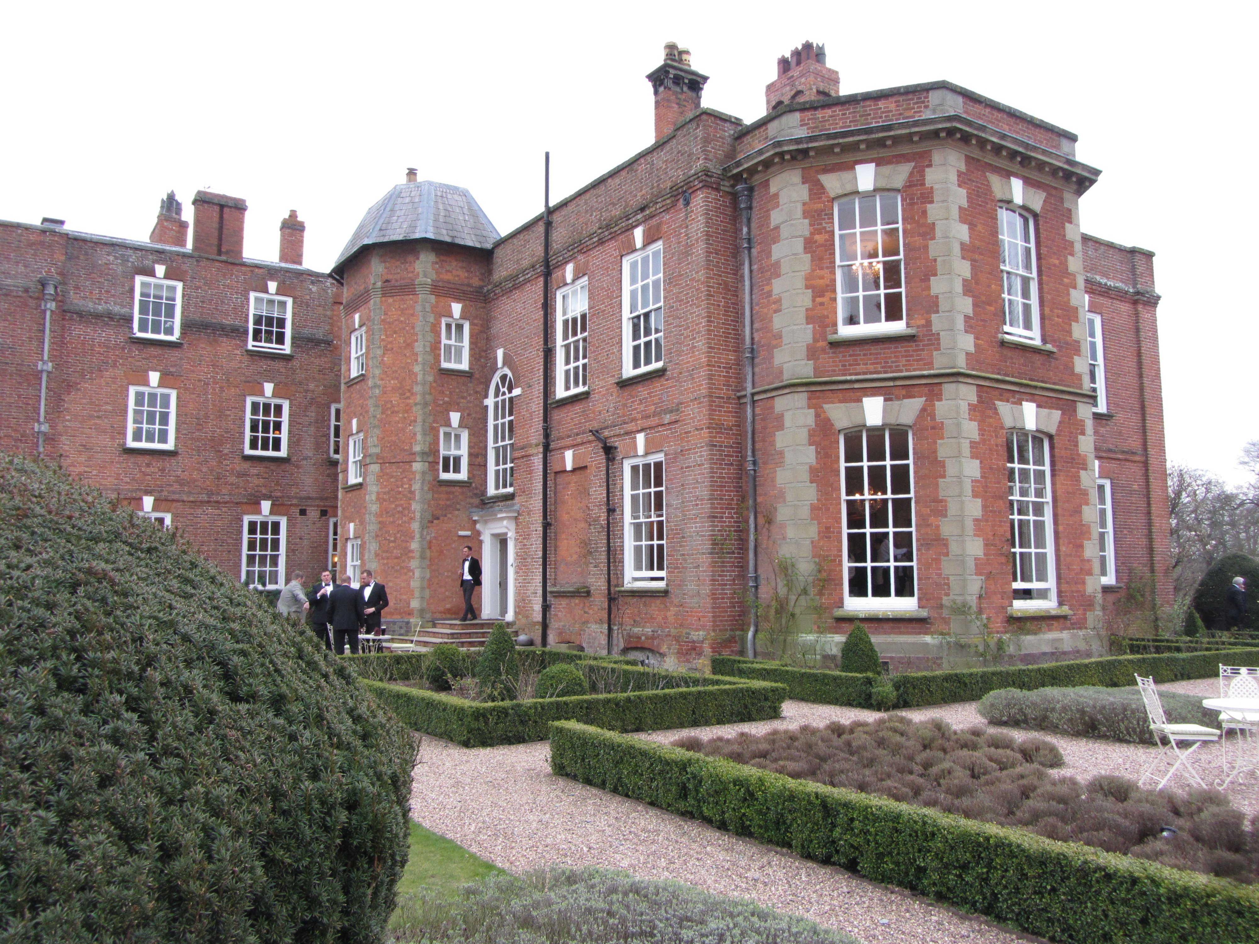
Iscoyd Park is a three-storey redbrick country house in Wrexham County Borough, Wales. It has a slate roof built in the early 18th century. It was sold...

Llyn Bedydd
Llyn Bedydd is a small lake in Wrexham County Borough, in northeastern Wales, near the border with England. It is 7 kilometres (4.3 mi) south west of...
Nearby Amenities
Located within 500m of 52.960775,-2.758774Have you been to Chequer, The?
Leave your review of Chequer, The below (or comments, questions and feedback).