Ballan Wood
Wood, Forest in Monmouthshire
Wales
Ballan Wood
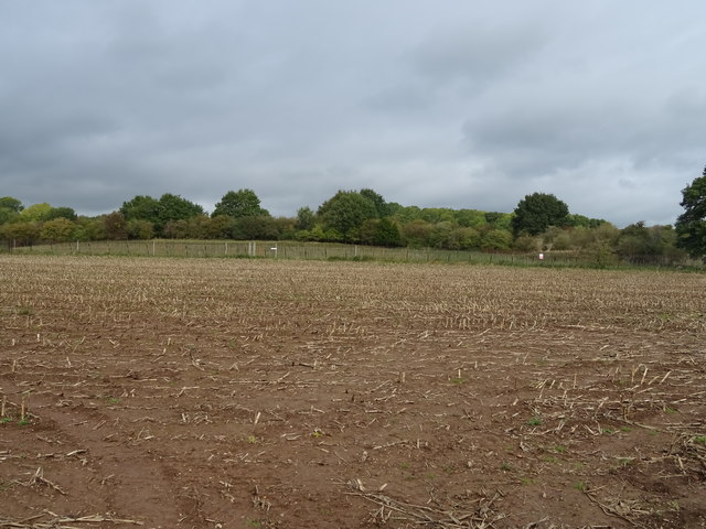
Ballan Wood is a picturesque forest located in Monmouthshire, Wales. Covering an area of approximately 500 acres, this woodland is known for its natural beauty and diverse ecosystem. The wood is situated near the village of Trellech, and its proximity to the River Usk adds to its charm.
Ballan Wood is predominantly composed of broadleaved trees, including oak, beech, and ash, which create a dense canopy overhead. The forest floor is adorned with a rich carpet of bluebells, wild garlic, and ferns, providing a stunning display of vibrant colors during springtime. The wood is also home to a variety of wildlife, including deer, badgers, and numerous bird species.
For nature enthusiasts, Ballan Wood offers a tranquil escape from the bustling city life. It provides ample opportunities for walking, hiking, and birdwatching. The forest is crisscrossed with a network of well-maintained footpaths, allowing visitors to explore the area and enjoy the peaceful ambiance.
Ballan Wood holds historical significance as well. The wood was once part of the extensive royal hunting grounds of the medieval Trellech Castle. Ruins of the castle can still be seen in the nearby village, adding an extra layer of intrigue to the area.
Overall, Ballan Wood is a captivating destination that seamlessly blends natural beauty, wildlife, and history. Whether it's a leisurely stroll through the woodland or a quest to spot elusive wildlife, this Monmouthshire forest offers an enchanting experience for visitors of all ages.
If you have any feedback on the listing, please let us know in the comments section below.
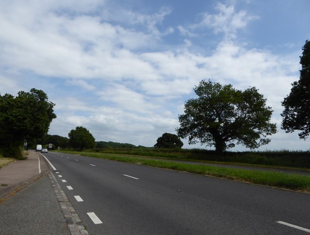
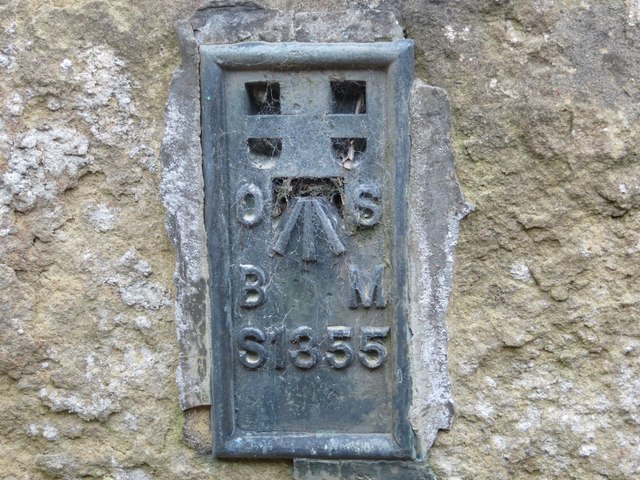
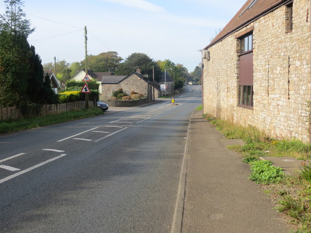
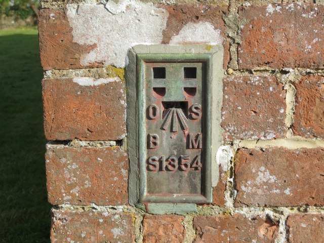
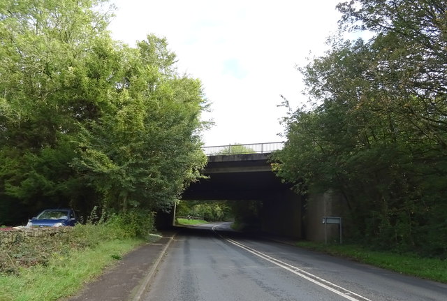
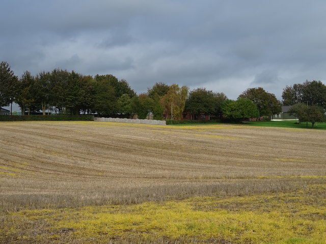
Ballan Wood Images
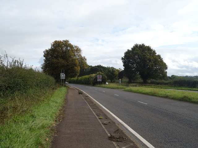
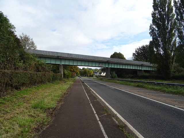
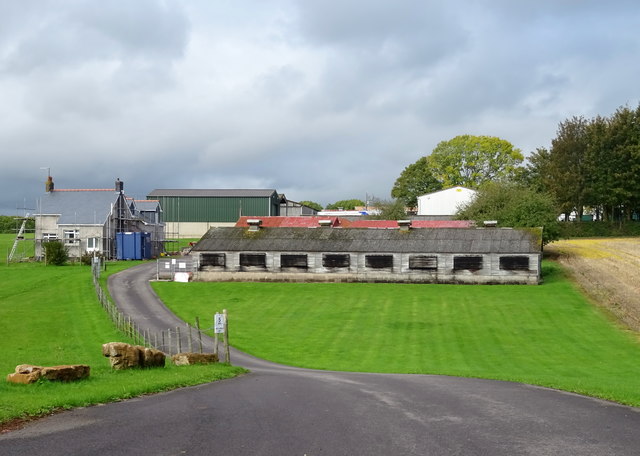
Images are sourced within 2km of 51.601694/-2.7335815 or Grid Reference ST4989. Thanks to Geograph Open Source API. All images are credited.


Ballan Wood is located at Grid Ref: ST4989 (Lat: 51.601694, Lng: -2.7335815)
Unitary Authority: Monmouthshire
Police Authority: Gwent
What 3 Words
///crafts.trumpet.friends. Near Caldicot, Monmouthshire
Nearby Locations
Related Wikis

Nedern Brook Wetlands
The Nedern Brook Wetland is a flood meadow habitat near Caldicot, Monmouthshire, Wales, designated since 1988 as a Site of Special Scientific Interest...
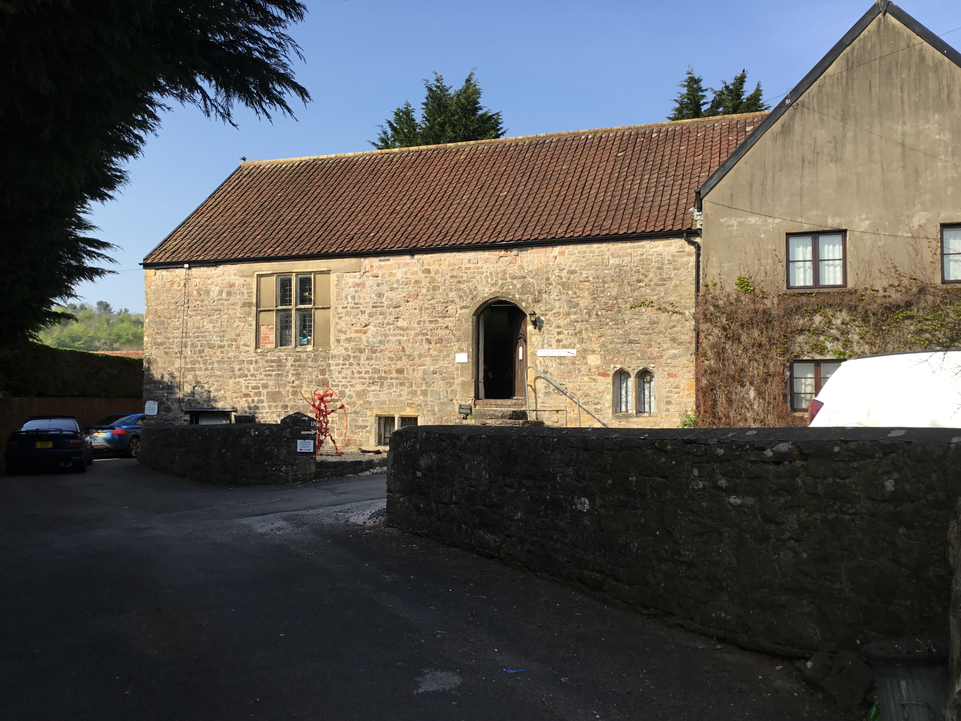
Manor Farmhouse, Crick
Manor Farmhouse, or Crick Manor, Crick, Monmouthshire is a late medieval manor house dating from the 15th century. The buildings comprise a chapel, of...

Caldicot Castle (electoral ward)
Caldicot Castle is an electoral ward in the town of Caldicot, Monmouthshire, Wales. The ward elects councillors to Caldicot Town Council and Monmouthshire...
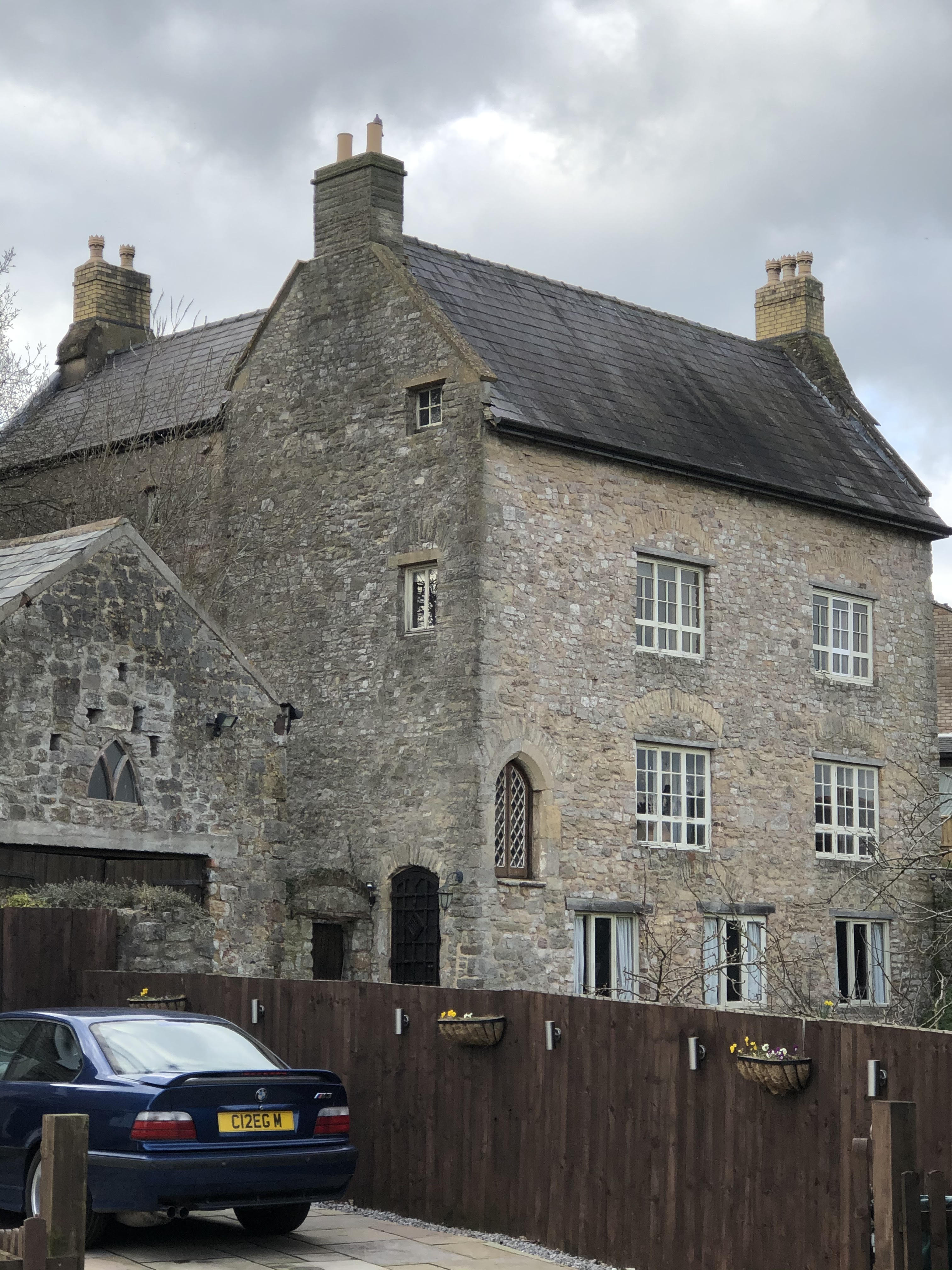
Church Farmhouse, Caldicot
Church Farmhouse, Caldicot, Monmouthshire is a substantial grange building which was a working farmhouse before 1205. It is connected to both Llanthony...
St Mary's Church, Caldicot
St Mary's Church, also called St Mary Virgin Church, is a Church in Wales parish church in Caldicot, Monmouthshire, Wales. There is evidence that the church...

Manor Farmhouse and Manor Cottage, Portskewett
Manor Farmhouse and Manor Cottage, Portskewett, Monmouthshire is a country house dating from early 17th century. The house is a Grade II* listed building...
Crick, Monmouthshire
Crick (Welsh: Crug) is a small village or hamlet in the Welsh county of Monmouthshire, United Kingdom. It is located on the A48 road 1 mile north of the...

Portskewett
Portskewett (Welsh: Porthsgiwed or Porthysgewin) is a village and community (parish) in Monmouthshire, south east Wales. It is located four miles south...
Nearby Amenities
Located within 500m of 51.601694,-2.7335815Have you been to Ballan Wood?
Leave your review of Ballan Wood below (or comments, questions and feedback).