Leechpool

Settlement in Monmouthshire

Wales

Leechpool

The A48 between Caerwent and Crick
The A48 between Caerwent and Crick Credit: Eirian Evans

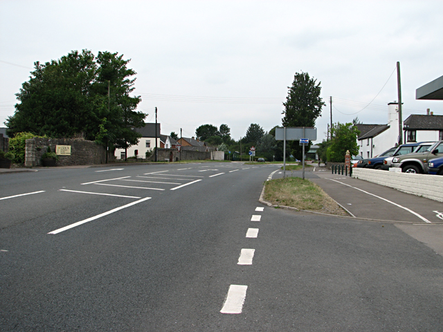
Leechpool is a small village located in Monmouthshire, Wales. Situated in the southeastern part of the county, it lies approximately 4 miles southwest of Monmouth, the historic county town. The village is nestled amidst the picturesque countryside, offering stunning views and a tranquil atmosphere.

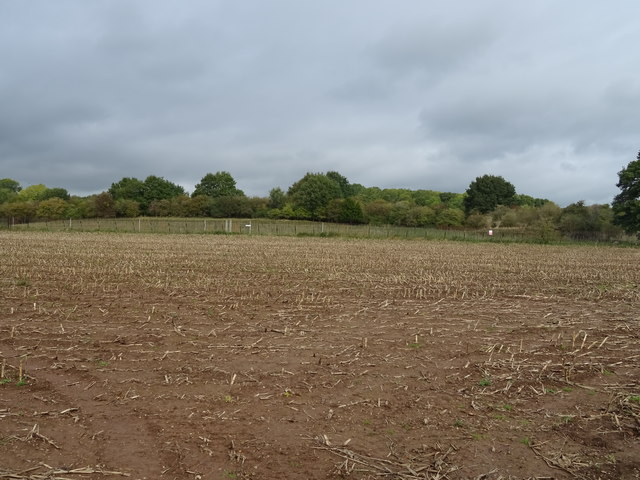
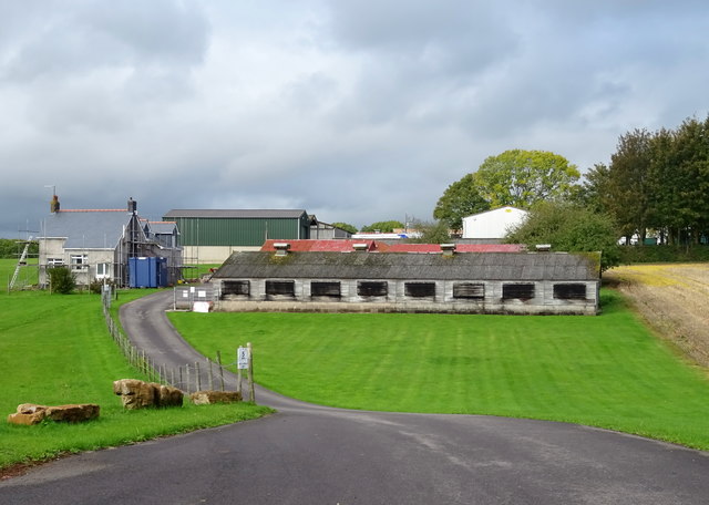
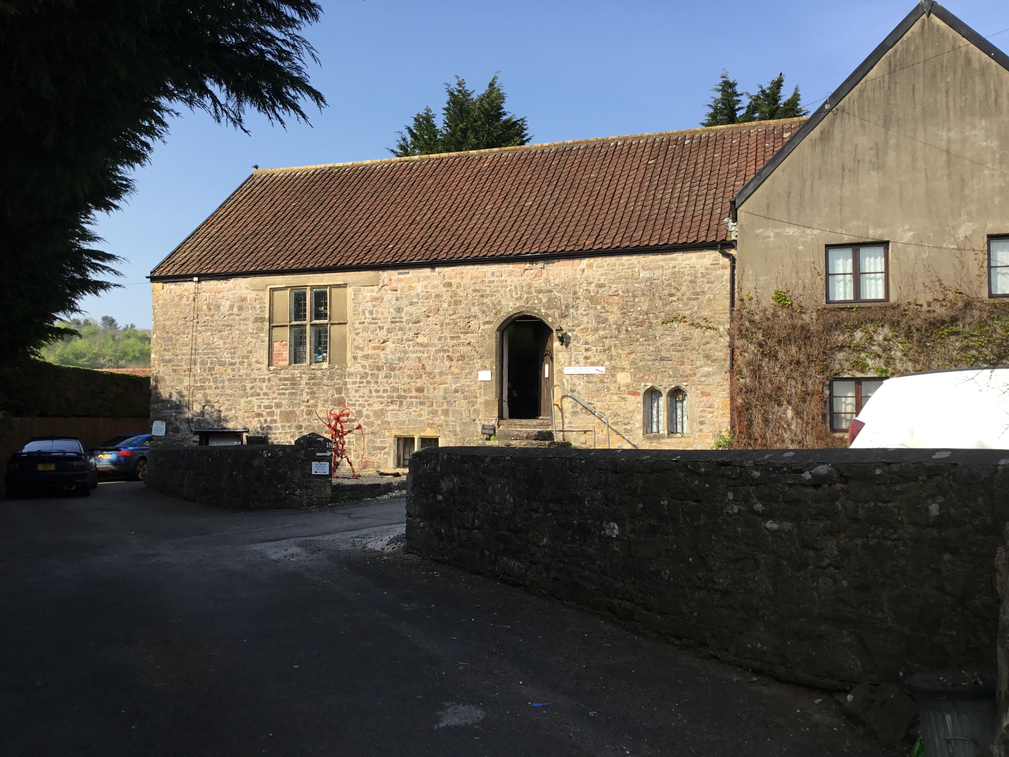
The community of Leechpool has a population of around 300 residents, creating a close-knit and friendly environment. The village retains its rural charm, with traditional stone-built houses and a scattering of farms in the surrounding area. Agriculture has historically been an important industry in Leechpool, and it still plays a significant role in the local economy.

Despite its small size, Leechpool boasts a strong sense of community spirit. The village has a primary school, providing education for the local children, and a village hall that serves as a hub for social gatherings and events. The nearby countryside offers ample opportunities for outdoor activities such as hiking, cycling, and horse riding.

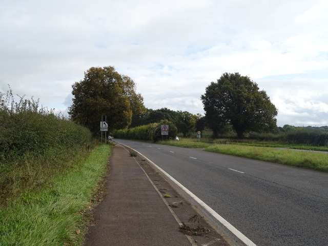
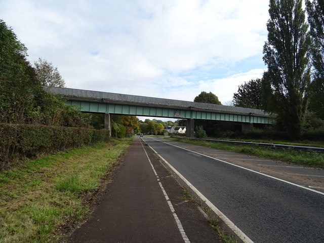
For amenities and services, residents of Leechpool often rely on the nearby town of Monmouth. Monmouth offers a range of shops, supermarkets, healthcare facilities, and recreational activities. The village is well-connected to the rest of Monmouthshire and beyond via road networks, making it easily accessible for both residents and visitors.

Overall, Leechpool is a charming village that offers a peaceful and idyllic lifestyle amidst the natural beauty of Monmouthshire.

If you have any feedback on the listing, please let us know in the comments section below.
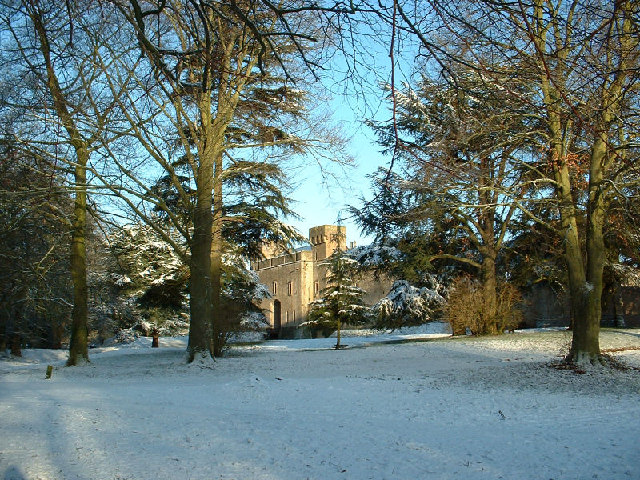
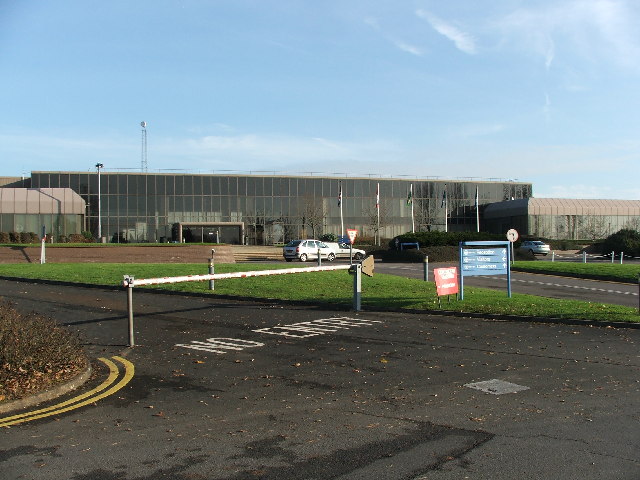
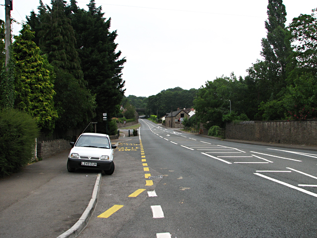
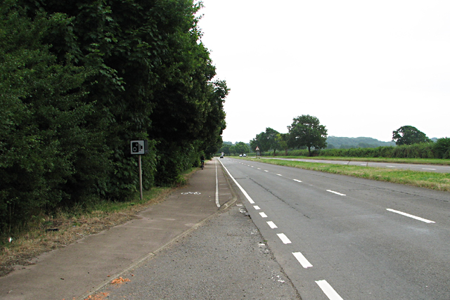
Leechpool Images

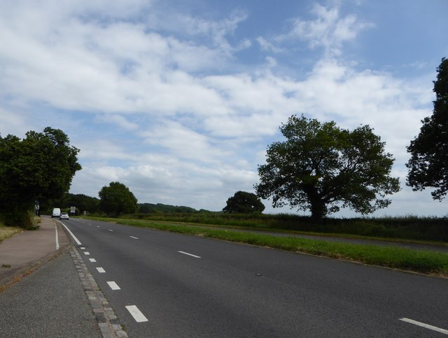
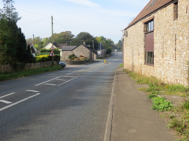
Images are sourced within 2km of 51.602054/-2.724652 or Grid Reference ST4989. Thanks to Geograph Open Source API. All images are credited.

The A48 between Caerwent and Crick
Ordnance Survey Flush Bracket S1355 This can be found on the wall of a building beside the A48 in Crick.
For more detail see : <span class="nowrap"><a title="http://www.bench-marks.org.uk/bm15774" rel="nofollow ugc noopener" href="http://www.bench-marks.org.uk/bm15774">Link</a><img style="margin-left:2px;" alt="External link" title="External link - shift click to open in new window" src="https://s1.geograph.org.uk/img/external.png" width="10" height="10"/></span>
Ordnance Survey Flush Bracket S1355
This can be found on the wall of a building beside the A48 in Crick. For more detail see : LinkExternal link
Road (A48) passing through Crick Looking south-westward.
Road (A48) passing through Crick
Looking south-westward.
Ordnance Survey Flush Bracket S1354 This can be found on the wall of a house, Bradbury's - a private dwelling - in Crick.
For more detail see : <span class="nowrap"><a title="http://www.bench-marks.org.uk/bm15775" rel="nofollow ugc noopener" href="http://www.bench-marks.org.uk/bm15775">Link</a><img style="margin-left:2px;" alt="External link" title="External link - shift click to open in new window" src="https://s1.geograph.org.uk/img/external.png" width="10" height="10"/></span>
Ordnance Survey Flush Bracket S1354
This can be found on the wall of a house, Bradbury's - a private dwelling - in Crick. For more detail see : LinkExternal link
Stubble field near New House Farm Off the A48.
Stubble field near New House Farm
Off the A48.
A48 towards Chepstow Dual carriageway ending shortly.
A48 towards Chepstow
Dual carriageway ending shortly.
Railway bridge over the A48, Crick
Poultry Farm, Bentley Green
M48 motorway bridge over the A48
Stubble field, Bentley Green
A48 towards Chepstow
Portskewett, St Mary's Church
Caldicot Castle, Monmouthshire Caldicot Castle and Country Park. Looking NW through the trees, at the SE corner of the Castle.
Caldicot Castle, Monmouthshire
Caldicot Castle and Country Park. Looking NW through the trees, at the SE corner of the Castle.
Castlegate Business Park, Portskewett
St. Mary's Church, Caldicot Taken looking NE across the graveyard.
St. Mary's Church, Caldicot
Taken looking NE across the graveyard.
Road Junction in Crick The view is towards Chepstow. The road to the left leads to Shirenewton, the road to the right, Portskewett.
Road Junction in Crick
The view is towards Chepstow. The road to the left leads to Shirenewton, the road to the right, Portskewett.
The Dual Carriageway Approaching Crick The OS map indicates this section was a Roman Road.
The Dual Carriageway Approaching Crick
The OS map indicates this section was a Roman Road.
Crick - Start of Dual Carriageway To the left is the road junction to Portskewett, just after which the dual carriageway starts, continuing to the outskirts of Caerwent.
Crick - Start of Dual Carriageway
To the left is the road junction to Portskewett, just after which the dual carriageway starts, continuing to the outskirts of Caerwent.
Show me another place!

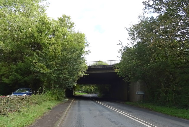
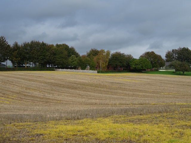
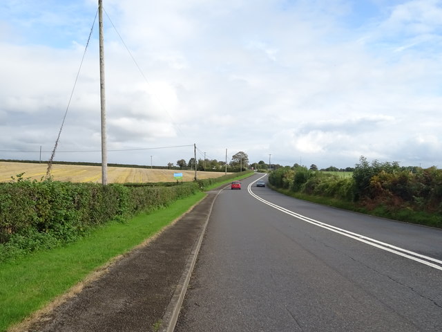
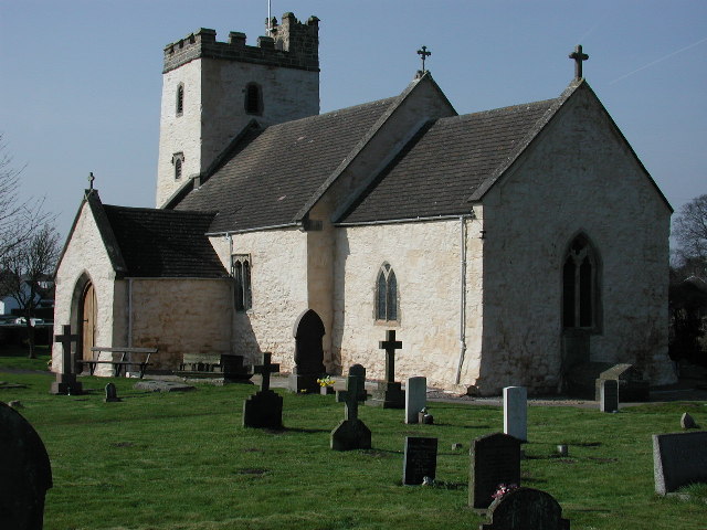
Leechpool is located at Grid Ref: ST4989 (Lat: 51.602054, Lng: -2.724652)

Unitary Authority: Monmouthshire

Police Authority: Gwent

What 3 Words

///yield.awakes.ridiculed. Near Caldicot, Monmouthshire

Related Wikis

Manor Farmhouse, Crick

Manor Farmhouse, or Crick Manor, Crick, Monmouthshire is a late medieval manor house dating from the 15th century. The buildings comprise a chapel, of...

Nedern Brook Wetlands

The Nedern Brook Wetland is a flood meadow habitat near Caldicot, Monmouthshire, Wales, designated since 1988 as a Site of Special Scientific Interest...

Manor Farmhouse and Manor Cottage, Portskewett

Manor Farmhouse and Manor Cottage, Portskewett, Monmouthshire is a country house dating from early 17th century. The house is a Grade II* listed building...

Portskewett

Portskewett (Welsh: Porthsgiwed or Porthysgewin) is a village and community (parish) in Monmouthshire, south east Wales. It is located four miles south...

Nearby Amenities

Located within 500m of 51.602054,-2.724652
Power: pole
Lat/Long: 51.5978359/-2.7230698
Power: pole
Lat/Long: 51.5986973/-2.7239174
Power: pole
Lat/Long: 51.5993654/-2.7246174
Power: pole
Lat/Long: 51.6004416/-2.7257332
Power: pole
Lat/Long: 51.6018428/-2.7271655
Power: pole
Lat/Long: 51.6029523/-2.7278549
Power: pole
Lat/Long: 51.6039435/-2.7284396
Power: pole
Lat/Long: 51.605018/-2.728563
The data included in this document is from www.openstreetmap.org. The data is made available under ODbL.

Have you been to Leechpool?

Leave your review of Leechpool below (or comments, questions and feedback).