California

Settlement in Worcestershire

England

California

Bushwood Court, Weoley Castle On Bushwood Road. Built 1959-60 by C. Bryant and Son Ltd. One of a set of three blocks built at this time.
Bushwood Court, Weoley Castle Credit: Andrew Abbott

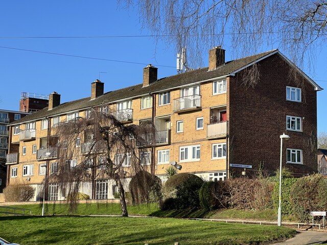
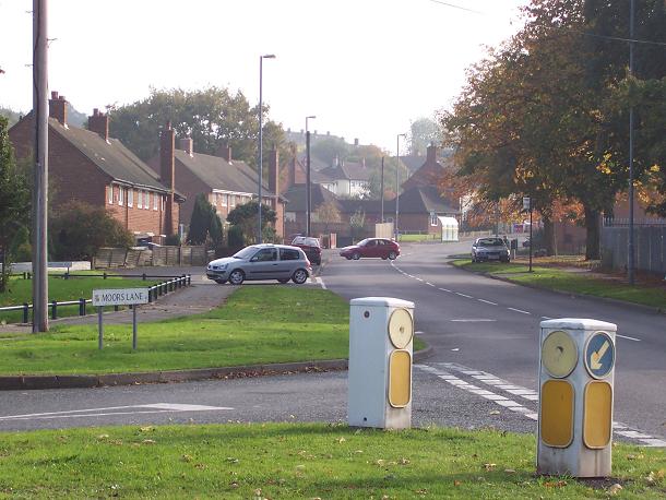
California, Worcestershire is a village located in the county of Worcestershire, England. Situated approximately 4 miles south of the historic town of Worcester, it is nestled in the beautiful Malvern Hills Area of Outstanding Natural Beauty. With a population of around 500 residents, California offers a peaceful and picturesque setting for its inhabitants.

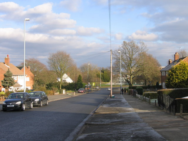
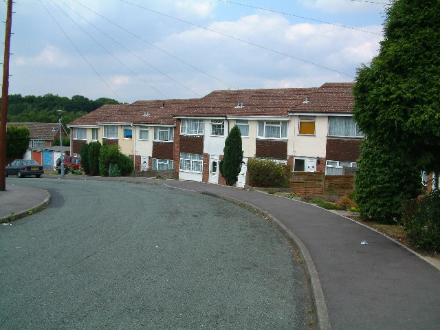
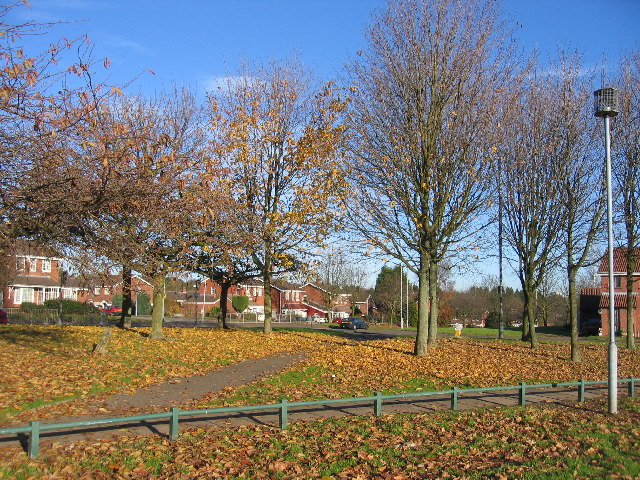
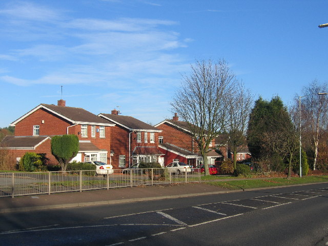
The village itself is characterized by its charming countryside atmosphere and traditional English architecture. The houses display a mix of architectural styles, ranging from quaint cottages to larger, more modern dwellings. The area is known for its well-maintained gardens and lush green fields, providing residents with ample opportunities for outdoor activities and leisurely walks.

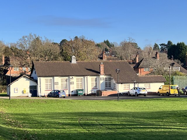
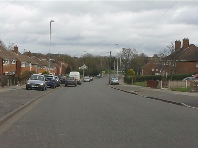
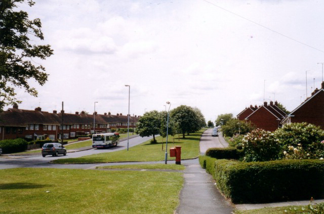
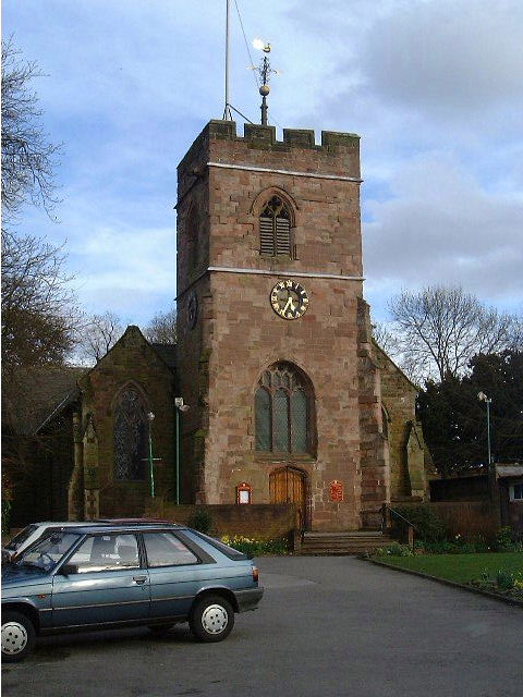
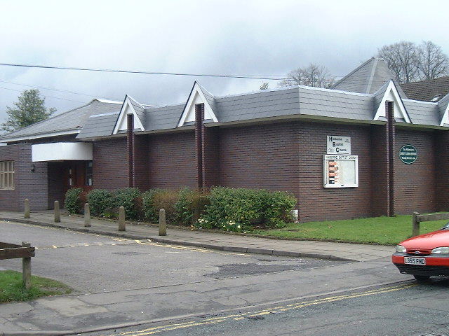
While relatively small, California boasts a strong sense of community, with a range of local amenities available to its residents. These include a village hall, a primary school, and a local pub, which serves as a popular meeting place for locals and visitors alike. Additionally, the village is well-connected to surrounding areas through a network of roads, making it easily accessible for commuters.

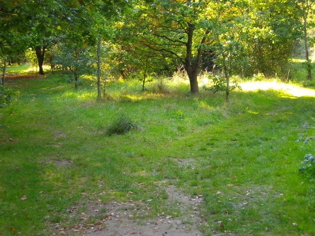
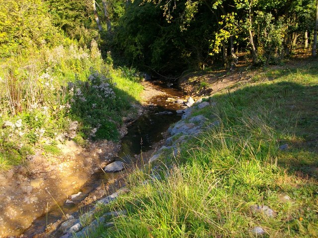
Nature enthusiasts will find themselves at home in California, as the village is surrounded by stunning landscapes and outdoor recreational areas. The nearby Malvern Hills offer breathtaking views and numerous trails for hiking and walking. Moreover, the nearby River Severn provides opportunities for fishing and boating activities.

In conclusion, California, Worcestershire is a quaint village that offers a peaceful and idyllic lifestyle. With its beautiful surroundings, close-knit community, and access to outdoor activities, it is an appealing place to reside for those seeking a tranquil countryside retreat.

If you have any feedback on the listing, please let us know in the comments section below.

California Images

Images are sourced within 2km of 52.444123/-1.975398 or Grid Reference SP0182. Thanks to Geograph Open Source API. All images are credited.

Bushwood Court, Weoley Castle On Bushwood Road. Built 1959-60 by C. Bryant and Son Ltd. One of a set of three blocks built at this time.
Bushwood Court, Weoley Castle
On Bushwood Road. Built 1959-60 by C. Bryant and Son Ltd. One of a set of three blocks built at this time.
Weoley Hill Village Hall Opened in 1925.
Weoley Hill Village Hall
Opened in 1925.
Romsley Road
Romsley Road
Fork in a path - Woodgate Valley
Bourne Brook in Woodgate Valley
Romsley Road, Bartley Green, Birmingham View looking down Romsley Road towards Adams Hill
Romsley Road, Bartley Green, Birmingham
View looking down Romsley Road towards Adams Hill
Harts Green
Harts Green
Quinton Road, Harborne Looking east along Quinton Road from Langford Grove. Quinton Road has unusually wide verges (a planning feature?) and doesn't actually go to Quinton because the golf course gets in the way.
Quinton Road, Harborne
Looking east along Quinton Road from Langford Grove. Quinton Road has unusually wide verges (a planning feature?) and doesn't actually go to Quinton because the golf course gets in the way.
Weoley Castle ruins The castle, which dates from the 13th-15th centuries, was a fortified manor house owned by, among others, the barons of Dudley. The ruins are in disrepair (!) and closed to the public. The closest you can get is the two information boards visible in the photo, and even that area is closed on weekdays.

Information: <span class="nowrap"><a title="http://www.schoolsliaison.org.uk/weoleycastle/weoleycastle.htm" rel="nofollow ugc noopener" href="http://www.schoolsliaison.org.uk/weoleycastle/weoleycastle.htm">Link</a><img style="margin-left:2px;" alt="External link" title="External link - shift click to open in new window" src="https://s1.geograph.org.uk/img/external.png" width="10" height="10"/></span>
Weoley Castle ruins
The castle, which dates from the 13th-15th centuries, was a fortified manor house owned by, among others, the barons of Dudley. The ruins are in disrepair (!) and closed to the public. The closest you can get is the two information boards visible in the photo, and even that area is closed on weekdays. Information: LinkExternal link
Barnes Hill Looking north down the B4121 in Weoley Castle. The people have just emerged from the bingo hall. In the distance is Hillcrest Girls' Comp.
Barnes Hill
Looking north down the B4121 in Weoley Castle. The people have just emerged from the bingo hall. In the distance is Hillcrest Girls' Comp.
Alongside Bartley Reservoir Looking NW.
Alongside Bartley Reservoir
Looking NW.
Bartley Green
Bartley Green
Genners Lane, Northfield
St Peter's St Peter's Church (CofE)
St Peter's
St Peter's Church (CofE)
Harborne Baptist Church On Harborne Park Road
Harborne Baptist Church
On Harborne Park Road
Green Drive, Bartley Green
Sunny California These trees beside California Way, in the south of this square have now all but lost their leaves for the winter but still lend a splash of colour with the low angle of the sun.
Sunny California
These trees beside California Way, in the south of this square have now all but lost their leaves for the winter but still lend a splash of colour with the low angle of the sun.
California Way Some of the modern housing development adjacent to California Way.
California Way
Some of the modern housing development adjacent to California Way.
Show me another place!

California is located at Grid Ref: SP0182 (Lat: 52.444123, Lng: -1.975398)

Unitary Authority: Birmingham

Police Authority: West Midlands

What 3 Words

///finds.poet.shadow. Near Bartley Green, West Midlands

Nearby Locations

California

Related Wikis

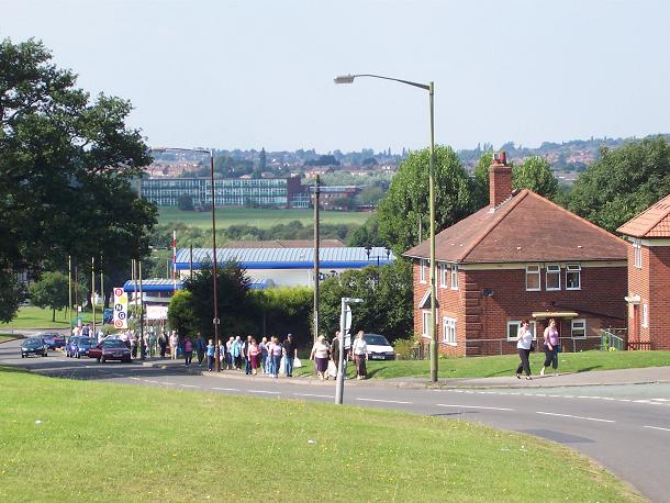
California, Birmingham

California is a small suburban area of Birmingham, England. It lies 4 miles (6.4 km) south west of Birmingham city centre, near to Woodgate Valley Country...

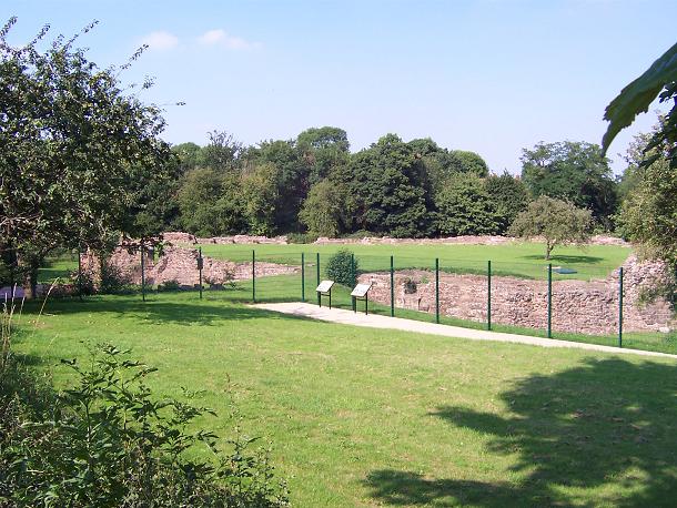
Weoley Castle (house)

Weoley Castle is the remains of a fortified manor house located in the Birmingham district of Weoley Castle, a primarily residential area, in the English...

Hillcrest School, Birmingham

Hillcrest School is a secondary school for girls (and mixed sixth form) in the California area of Bartley Green, Birmingham, in the West Midlands of England...
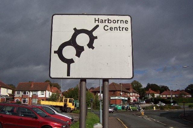
Harborne (ward)

Harborne ward is a local government district, one of 40 wards that make up Birmingham City Council. Harborne lies to the south west of Birmingham city...

Nearby Amenities

Located within 500m of 52.444123,-1.975398
Give Way
Lat/Long: 52.4451847/-1.9769879
Crossing
Crossing: traffic_signals
Source: bing
Lat/Long: 52.4445336/-1.9766683
Crossing
Crossing: traffic_signals
Source: bing
Lat/Long: 52.4423142/-1.9787896
Crossing
Crossing: traffic_signals
Crossing Ref: pelican
Source: BING;BCC_CycleData
Lat/Long: 52.4415373/-1.9789885
Turning Circle
Lat/Long: 52.4410219/-1.9774557
Turning Circle
Lat/Long: 52.4406559/-1.9747052
Turning Circle
Lat/Long: 52.4437038/-1.971111
Power: tower
Source: Bing; survery
Lat/Long: 52.4450963/-1.973813
Power: tower
Source: Bing
Lat/Long: 52.4459222/-1.9706467
Crossing
Bicycle: yes
Crossing: traffic_signals
Crossing Ref: toucan
Tactile Paving: yes
Traffic Signals: pedestrian_crossing
Lat/Long: 52.448286/-1.9778284
Barrier: kissing_gate
Bicycle: yes
Foot: yes
Lat/Long: 52.4482798/-1.9781153
Give Way
Lat/Long: 52.4450177/-1.9765436
Crossing
Button Operated: yes
Crossing: traffic_signals
Crossing Island: no
Tactile Paving: yes
Traffic Signals: pedestrian_crossing
Lat/Long: 52.446605/-1.9702917
Claypit Weir
Ford: stepping_stones
Source: OS
Waterway: weir
Lat/Long: 52.447035/-1.973859
Ford: stepping_stones
Lat/Long: 52.4483935/-1.9766939
Post Box
Operator: Royal Mail
Operator Wikidata: Q638098
Ref: B32 1419
Lat/Long: 52.44621/-1.9742533
Give Way
Lat/Long: 52.444717/-1.9769714
Source: bing
Traffic Calming: bump
Lat/Long: 52.4419043/-1.9795565
Source: bing
Traffic Calming: bump
Lat/Long: 52.4417946/-1.9806201
Source: bing
Traffic Calming: bump
Lat/Long: 52.4416191/-1.9815251
Crossing
Bicycle: yes
Crossing: traffic_signals
Crossing Ref: toucan
Lat/Long: 52.4482059/-1.9779851
Fuel
Esso
Brand: Esso
Brand Wikidata: Q867662
Brand Wikipedia: en:Esso
Contact Website: https://www.esso.co.uk/en-gb/find-station/esso-birmingham-essontsweoley-100200705
Operator: Esso
Lat/Long: 52.4406187/-1.9792334
Post Box
Collection Times: Mo-Fr 09:00; Sa 12:00
Operator: Royal Mail
Operator Wikidata: Q638098
Ref: B32 805
Lat/Long: 52.444553/-1.971438
Post Box
Lat/Long: 52.4415665/-1.9736042
Post Box
Disused: yes
Lat/Long: 52.4432694/-1.9770783
Bus Stop
Alwold Rd / Barnes Hill
NaPTANAreaCode: 43000312003
Bus: yes
Naptan AtcoCode: 43000312003
Naptan Bearing: W
Naptan BusStopType: MKD
Naptan CommonName: Barnes Hill
Naptan Indicator: before
Naptan NaptanCode: nwmgjpwt
Naptan PlusbusZoneRef: BHAMNWS
Naptan Status: ACT
Naptan StopType: BCT
Naptan Street: ALWOLD RD
Naptan Towards: Harborne
Naptan Verified: no
Public Transport: platform
Route Ref: 29
Shelter: yes
Shelter Ref: 608728
Source: WMCA
Lat/Long: 52.4416724/-1.9777264
Bus Stop
Alwold Rd / Barnes Hill
NaPTANAreaCode: 43000312004
Bus: yes
Naptan AtcoCode: 43000312004
Naptan Bearing: E
Naptan BusStopType: MKD
Naptan CommonName: Barnes Hill
Naptan Indicator: after
Naptan NaptanCode: nwmgjtad
Naptan PlusbusZoneRef: BHAMNWS
Naptan Status: ACT
Naptan StopType: BCT
Naptan Street: ALWOLD RD
Naptan Towards: Weoley Castle
Public Transport: platform
Route Ref: 29
Shelter: yes
Shelter Ref: 608727
Source: WMCA
Lat/Long: 52.4418405/-1.978338
Bus Stop
Stonehouse Hill / Swinford Rd
Bus: yes
Naptan AtcoCode: 43000324201
Naptan Bearing: S
Naptan BusStopType: MKD
Naptan CommonName: Swinford Rd
Naptan Indicator: adj
Naptan NaptanCode: nwmatadg
Naptan PlusbusZoneRef: BHAMNWS
Naptan Status: ACT
Naptan StopType: BCT
Naptan Street: STONEHOUSE HILL
Naptan Towards: Bartley Green
Naptan Verified: no
Public Transport: platform
Route Ref: 22;23;29;647
Source: WMCA
Lat/Long: 52.4462447/-1.9708137
Bus Stop
Stonehouse Hill / Swinford Rd
NaPTANAreaCode: 43000324202
Bus: yes
Naptan AtcoCode: 43000324202
Naptan Bearing: N
Naptan BusStopType: MKD
Naptan CommonName: Swinford Rd
Naptan Indicator: opp
Naptan NaptanCode: nwmatadj
Naptan PlusbusZoneRef: BHAMNWS
Naptan Status: ACT
Naptan StopType: BCT
Naptan Street: STONEHOUSE HILL
Naptan Towards: Birmingham
Public Transport: platform
Route Ref: 22;23;29
Shelter: yes
Shelter Ref: 608819
Source: WMCA
Lat/Long: 52.4461686/-1.9711126
Bus Stop
Stonehouse Lane / The Stonehouse
Bus: yes
Naptan AtcoCode: 43000324302
Naptan Bearing: SE
Naptan BusStopType: MKD
Naptan CommonName: The Stonehouse
Naptan Indicator: before
Naptan Landmark: The Stonehouse
Naptan NaptanCode: nwmatadm
Naptan PlusbusZoneRef: BHAMNWS
Naptan Status: ACT
Naptan StopType: BCT
Naptan Street: STONEHOUSE LANE
Naptan Towards: Birmingham
Naptan Verified: no
Public Transport: platform
Route Ref: 22;23;29
Source: WMCA
Lat/Long: 52.4447909/-1.9722076
Bus Stop
West Boulevard / Hillcrest School
Bus: yes
Naptan AtcoCode: 43000324401
Naptan Bearing: N
Naptan BusStopType: MKD
Naptan CommonName: Hillcrest School
Naptan Indicator: adj
Naptan NaptanCode: nwmatadp
Naptan PlusbusZoneRef: BHAMNWS
Naptan Status: ACT
Naptan StopType: BCT
Naptan Street: WEST BOULEVARD
Naptan Towards: Quinton
Naptan Verified: no
Public Transport: platform
Route Ref: 39;39A
Source: WMCA
Lat/Long: 52.4455699/-1.9775882
Bus Stop
Stonehouse Lane / Hillcrest School
Bus: yes
Naptan AtcoCode: 43000325001
Naptan Bearing: E
Naptan BusStopType: MKD
Naptan CommonName: Hillcrest School
Naptan Indicator: adj
Naptan NaptanCode: nwmtmptg
Naptan PlusbusZoneRef: BHAMNWS
Naptan Status: ACT
Naptan StopType: BCT
Naptan Street: STONEHOUSE LANE
Naptan Towards: Birmingham
Naptan Verified: no
Public Transport: platform
Route Ref: 22;23;39A
Source: WMCA
Lat/Long: 52.4444979/-1.9804279
Bus Stop
Stonehouse Lane / Hillcrest School
Bus: yes
Naptan AtcoCode: 43000325002
Naptan Bearing: W
Naptan BusStopType: MKD
Naptan CommonName: Hillcrest School
Naptan Indicator: opp
Naptan NaptanCode: nwmtmptj
Naptan PlusbusZoneRef: BHAMNWS
Naptan Status: ACT
Naptan StopType: BCT
Naptan Street: STONEHOUSE LANE
Naptan Towards: Bartley Green
Naptan Verified: no
Public Transport: platform
Route Ref: 22;23;39A
Source: WMCA
Lat/Long: 52.4444635/-1.9799736
Bus Stop
Barnes Hill / Alwold Rd
NaPTANAreaCode: 43000330101
Bus: yes
Naptan AtcoCode: 43000330101
Naptan Bearing: N
Naptan BusStopType: MKD
Naptan CommonName: Alwold Rd
Naptan Indicator: opp
Naptan NaptanCode: nwmatdgj
Naptan PlusbusZoneRef: BHAMNWS
Naptan Status: ACT
Naptan StopType: BCT
Naptan Street: BARNES HILL
Naptan Towards: Birmingham
Naptan Verified: no
Public Transport: platform
Route Ref: 29;39;39A
Shelter: yes
Shelter Ref: 608751
Source: WMCA
Lat/Long: 52.4422211/-1.9792856
Bus Stop
Barnes Hill / Overfield Drive
NaPTANAreaCode: 43000330201
Bus: yes
Naptan AtcoCode: 43000330201
Naptan Bearing: SE
Naptan BusStopType: MKD
Naptan CommonName: Overfield Drive
Naptan Indicator: opp
Naptan Landmark: Bingo Hall
Naptan NaptanCode: nwmatdgp
Naptan PlusbusZoneRef: BHAMNWS
Naptan Status: ACT
Naptan StopType: BCT
Naptan Street: BARNES HILL
Naptan Towards: Weoley Castle
Naptan Verified: no
Public Transport: platform
Route Ref: 39;39A
Shelter: yes
Shelter Ref: 0330201
Source: WMCA
Lat/Long: 52.4400539/-1.9780411
Bus Stop
Alwold Rd / Brinklow Rd
Bus: yes
Naptan AtcoCode: 43000330301
Naptan Bearing: W
Naptan BusStopType: MKD
Naptan CommonName: Brinklow Rd
Naptan Indicator: opp
Naptan NaptanCode: nwmgjtgj
Naptan PlusbusZoneRef: BHAMNWS
Naptan Status: ACT
Naptan StopType: BCT
Naptan Street: ALWOLD RD
Naptan Towards: Harborne
Naptan Verified: no
Public Transport: platform
Route Ref: 29
Source: WMCA
Lat/Long: 52.4413906/-1.974539
Bus Stop
Alwold Rd / Brinklow Rd
Bus: yes
Naptan AtcoCode: 43000330302
Naptan Bearing: E
Naptan BusStopType: MKD
Naptan CommonName: Brinklow Rd
Naptan Indicator: adj
Naptan NaptanCode: nwmgjtgm
Naptan PlusbusZoneRef: BHAMNWS
Naptan Status: ACT
Naptan StopType: BCT
Naptan Street: ALWOLD RD
Naptan Towards: Northfield
Naptan Verified: no
Public Transport: platform
Route Ref: 29
Source: WMCA
Lat/Long: 52.4415188/-1.9740339
Bus Stop
Stonehouse Lane / Barnes Hill
Bus: yes
Naptan AtcoCode: 43003202502
Naptan Bearing: W
Naptan BusStopType: MKD
Naptan CommonName: Barnes Hill
Naptan Indicator: after
Naptan NaptanCode: nwmdmtam
Naptan PlusbusZoneRef: BHAMNWS
Naptan Status: ACT
Naptan StopType: BCT
Naptan Street: STONEHOUSE LANE
Naptan Towards: Bartley Green
Naptan Verified: no
Public Transport: platform
Route Ref: 22;23;39A
Source: WMCA
Lat/Long: 52.4446392/-1.9778721
Bus Stop
Stonehouse Lane / California Way
NaPTANAreaCode: 43003203006
Bus: yes
Naptan AtcoCode: 43003203006
Naptan Bearing: NE
Naptan BusStopType: MKD
Naptan CommonName: California Way
Naptan Indicator: adj
Naptan NaptanCode: nwmdmtat
Naptan PlusbusZoneRef: BHAMNWS
Naptan Status: ACT
Naptan StopType: BCT
Naptan Street: STONEHOUSE LANE
Naptan Towards: Birmingham
Naptan Verified: no
Public Transport: platform
Route Ref: 22;23;29
Shelter: yes
Shelter Ref: 608711
Source: WMCA
Lat/Long: 52.4454121/-1.976062
Bus Stop
Barnes Hill / Stonehouse Lane
NaPTANAreaCode: 43003203504
Asset Ref: 608724
Bus: yes
Naptan AtcoCode: 43003203504
Naptan Bearing: SW
Naptan BusStopType: MKD
Naptan CommonName: Stonehouse Lane
Naptan Indicator: after
Naptan NaptanCode: nwmdmtaw
Naptan PlusbusZoneRef: BHAMNWS
Naptan Status: ACT
Naptan StopType: BCT
Naptan Street: BARNES HILL
Naptan Towards: Weoley Castle
Naptan Verified: no
Public Transport: platform
Route Ref: 29;39;39A
Shelter: yes
Shelter Ref: 608726
Source: WMCA
Lat/Long: 52.4443334/-1.976702
Bus Stop
Barnes Hill / Stonehouse Lane
Bus: yes
Naptan AtcoCode: 43003203505
Naptan Bearing: NE
Naptan BusStopType: CUS
Naptan CommonName: Stonehouse Lane
Naptan Indicator: before
Naptan NaptanCode: nwmdmtda
Naptan PlusbusZoneRef: BHAMNWS
Naptan Status: ACT
Naptan StopType: BCT
Naptan Street: BARNES HILL
Naptan Towards: Birmingham
Naptan Verified: no
Public Transport: platform
Route Ref: 29
Source: WMCA
Lat/Long: 52.4441918/-1.9771676
Bus Stop
Stonehouse Lane / The Stonehouse
Asset Ref: 3240501
Bus: yes
Naptan AtcoCode: 43003240501
Naptan Bearing: W
Naptan BusStopType: MKD
Naptan CommonName: The Stonehouse
Naptan Indicator: after
Naptan Landmark: The Stonehouse
Naptan NaptanCode: nwmdmtdm
Naptan PlusbusZoneRef: BHAMNWS
Naptan Status: ACT
Naptan StopType: BCT
Naptan Street: STONEHOUSE LANE
Naptan Towards: Bartley Green
Naptan Verified: no
Public Transport: platform
Route Ref: 22;23;29
Shelter: yes
Source: WMCA
Lat/Long: 52.4448271/-1.973311
California
Is In: Birmingham,West Midlands,England,UK.EU
Name Lt: Kalifornija
Name Ta: கலிபோர்னியா
Place: village
Source: NPTG
Wikidata: Q5020169
Lat/Long: 52.4422729/-1.9796883
Grit Bin
Lat/Long: 52.441144/-1.9773306
Power: tower
Source: bing
Lat/Long: 52.442655/-1.9809518
Power: tower
Source: bing
Lat/Long: 52.4440478/-1.9779223
Give Way
Lat/Long: 52.4448889/-1.9773124
Crossing
Crossing: uncontrolled
Lat/Long: 52.4444631/-1.9802732
Give Way
Lat/Long: 52.4417681/-1.9789344
Crossing
Crossing: traffic_signals
Source: bing
Lat/Long: 52.4444526/-1.9768703
Give Way
Lat/Long: 52.4402587/-1.9782867
Give Way
Lat/Long: 52.4403013/-1.9786635
Crossing
Crossing: traffic_signals
Crossing Ref: pelican
Source: BING;BCC_CycleData
Lat/Long: 52.4414883/-1.9792393
Fixme: continue
Lat/Long: 52.4429594/-1.9820386
Power: substation
Source: Openstreetbugs
Lat/Long: 52.4436295/-1.9759331
Mini Roundabout
Lat/Long: 52.4437696/-1.9787089
Crossing
Crossing: uncontrolled
Lat/Long: 52.4438138/-1.9781939
Crossing
Crossing: marked
Crossing Island: no
Tactile Paving: yes
Lat/Long: 52.4436454/-1.9784889
Crossing
Crossing: traffic_signals
Source: bing
Lat/Long: 52.4425206/-1.9788654
Give Way
Lat/Long: 52.4434239/-1.9770617
Give Way
Lat/Long: 52.4434508/-1.9772616
Give Way
Lat/Long: 52.4434721/-1.97768
Give Way
Lat/Long: 52.4436863/-1.9772951
Give Way
Lat/Long: 52.4436879/-1.977676
Give Way
Lat/Long: 52.4418837/-1.9790681
Give Way
Lat/Long: 52.4419001/-1.9792572
Cafe
Asda Café
Addr City: Birmingham
Addr Country: GB
Addr Housenumber: 51
Addr Postcode: B29 5UW
Addr Street: Barnes Hill
Brand: Asda
Brand Wikidata: Q297410
Brand Wikipedia: en:Asda
Contact Phone: +44 121 296 0654
Contact Website: https://storelocator.asda.com/west-midlands/birmingham/51-barnes-hill/cafe
Cuisine: coffee_shop
Drinking Water Refill: yes
Drinking Water Refill Network: Refill
Fhrs Id: 670188
Fixme: Location not accurate
Internet Access: wlan
Internet Access Fee: no
Opening Hours Covid19: Mo-Su off
Operator: Asda Stores Ltd
Takeaway: yes
Lat/Long: 52.4425198/-1.9793844
Asda Opticians
Brand: Asda
Brand Wikidata: Q297410
Brand Wikipedia: en:Asda
Contact Phone: +44 121 296 0659
Contact Website: https://storelocator.asda.com/west-midlands/birmingham/51-barnes-hill/opticians
Fixme: Location not accurate
Operator: Asda Stores Ltd
Shop: optician
Lat/Long: 52.4424119/-1.9795936
Crossing
Crossing: uncontrolled
Crossing Ref: zebra
Lat/Long: 52.4419954/-1.9786669
Crossing
Crossing: uncontrolled
Crossing Ref: zebra
Lat/Long: 52.4420113/-1.9784229
Crossing
Crossing: uncontrolled
Crossing Ref: zebra
Lat/Long: 52.4422966/-1.9783598
Generator Method: photovoltaic
Generator Output Electricity: yes
Generator Source: solar
Generator Type: solar_photovoltaic_panel
Location: roof
Power: generator
Lat/Long: 52.4474415/-1.9764568
Generator Method: photovoltaic
Generator Output Electricity: yes
Generator Source: solar
Generator Type: solar_photovoltaic_panel
Location: roof
Power: generator
Lat/Long: 52.4459727/-1.9714035
Generator Method: photovoltaic
Generator Output Electricity: yes
Generator Source: solar
Generator Type: solar_photovoltaic_panel
Location: roof
Power: generator
Lat/Long: 52.4439822/-1.9719762
Generator Method: photovoltaic
Generator Output Electricity: yes
Generator Source: solar
Generator Type: solar_photovoltaic_panel
Location: roof
Power: generator
Lat/Long: 52.4437836/-1.9713821
Generator Method: photovoltaic
Generator Output Electricity: yes
Generator Source: solar
Generator Type: solar_photovoltaic_panel
Location: roof
Power: generator
Lat/Long: 52.443777/-1.9714518
Crossing
Crossing: marked
Crossing Island: no
Tactile Paving: yes
Lat/Long: 52.443149/-1.9790189
Barrier: cycle_barrier
Lat/Long: 52.446312/-1.970159
Barrier: cycle_barrier
Lat/Long: 52.4461418/-1.9704912
The data included in this document is from www.openstreetmap.org. The data is made available under ODbL.

Have you been to California?

Leave your review of California below (or comments, questions and feedback).