Calling Wood
Wood, Forest in Monmouthshire
Wales
Calling Wood

The requested URL returned error: 429 Too Many Requests
If you have any feedback on the listing, please let us know in the comments section below.
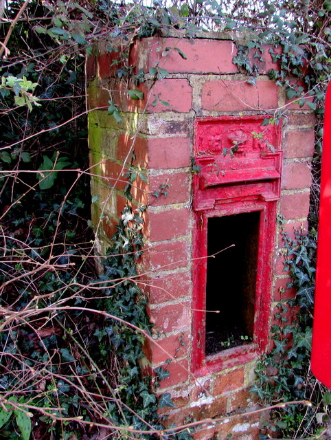
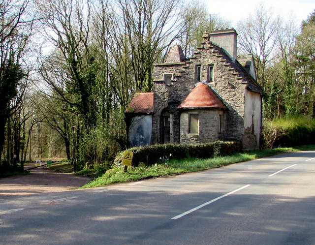
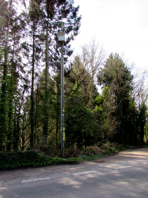
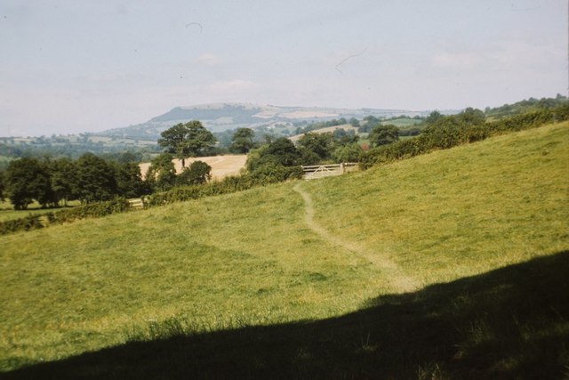
Calling Wood Images
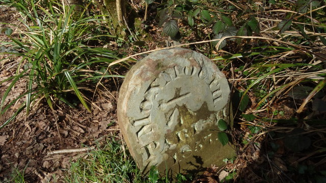
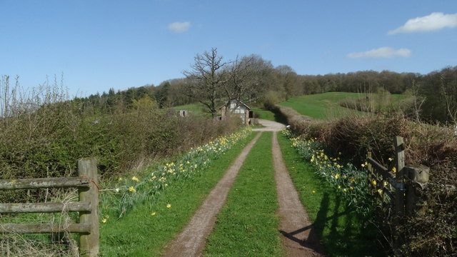
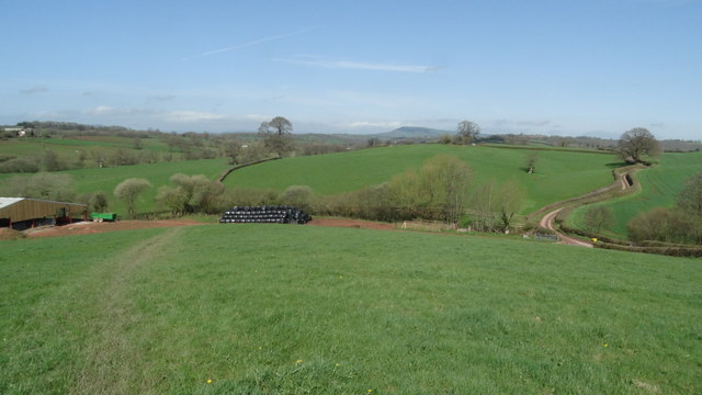
Images are sourced within 2km of 51.813002/-2.7696037 or Grid Reference SO4712. Thanks to Geograph Open Source API. All images are credited.


Calling Wood is located at Grid Ref: SO4712 (Lat: 51.813002, Lng: -2.7696037)
Unitary Authority: Monmouthshire
Police Authority: Gwent
What 3 Words
///sleepless.tarred.prop. Near Mitchel Troy, Monmouthshire
Nearby Locations
Related Wikis

White Hill, Monmouth
White Hill is a hill rising to over 205 metres (673 ft) to the west of the town of Monmouth, South Wales and north of Wonastow. Much of it is covered by...

The Hendre
The Hendre, (Welsh: Yr Hendre a farmer's winter residence; literally meaning old home) in Rockfield, is the only full-scale Victorian country house in...
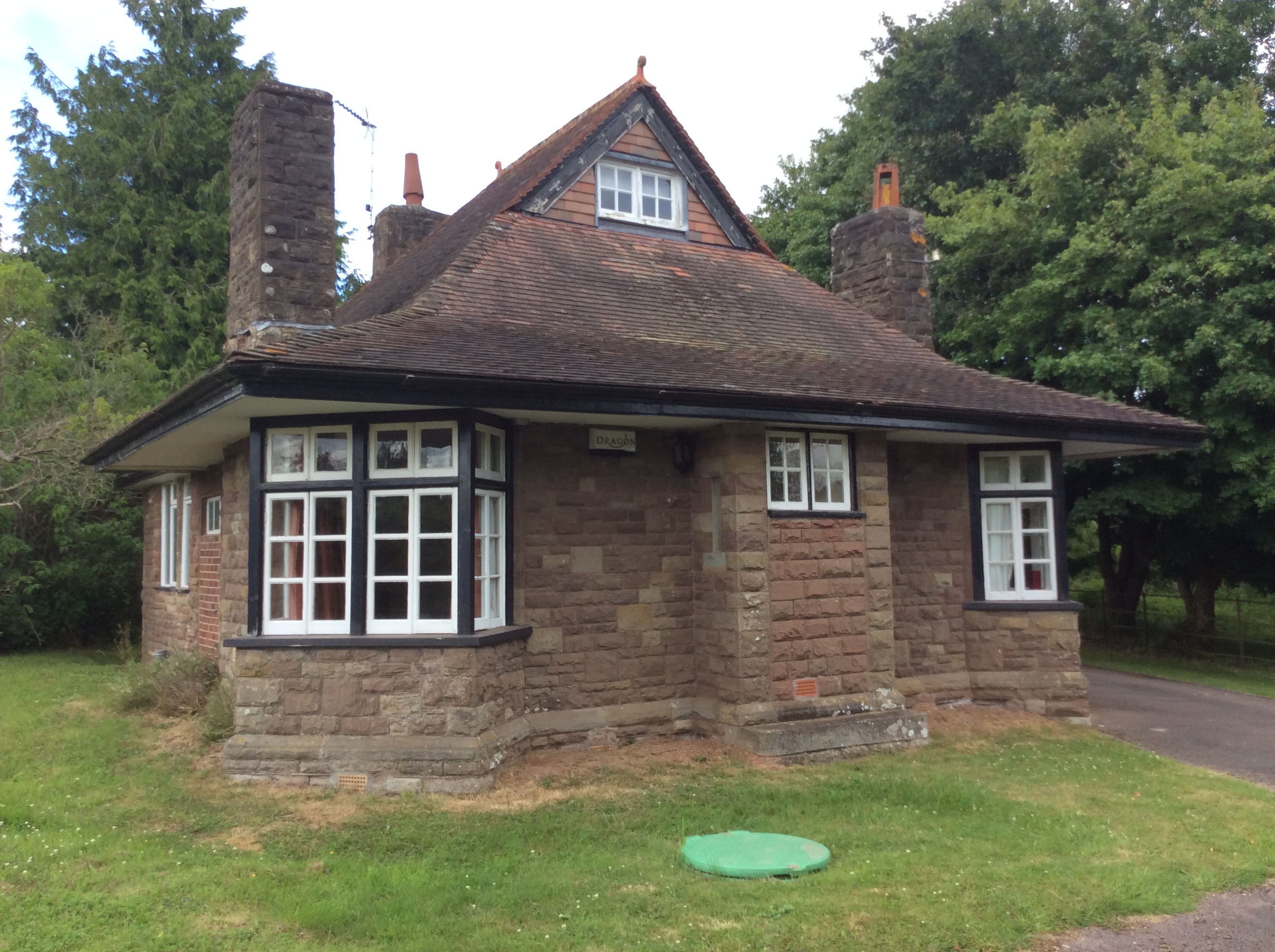
Swiss Cottage, Rockfield
The Swiss Cottage, Rockfield, Monmouthshire is a gatehouse to The Hendre estate and was designed by Sir Aston Webb in 1905. It is a Grade II* listed building...

Grace Dieu Abbey, Monmouth
Grace Dieu Abbey was a small Cistercian abbey established in 1226 near to the town of Monmouth in south east Wales. No remains of its buildings can now...
Nearby Amenities
Located within 500m of 51.813002,-2.7696037Have you been to Calling Wood?
Leave your review of Calling Wood below (or comments, questions and feedback).