Gilbrook Wood
Wood, Forest in Monmouthshire
Wales
Gilbrook Wood
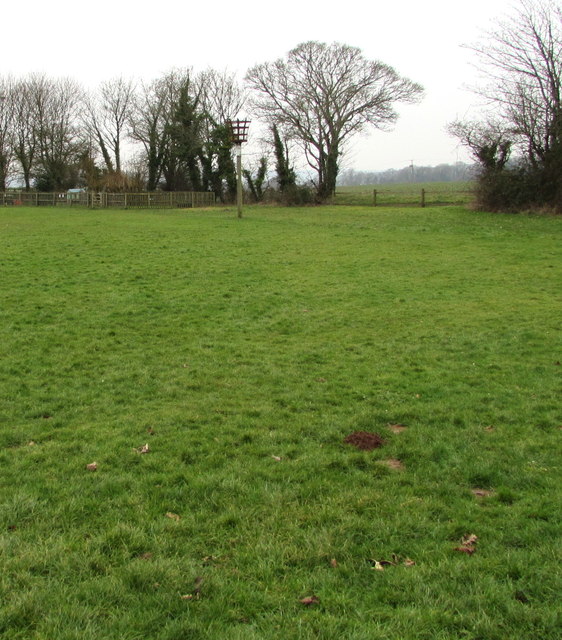
Gilbrook Wood is a beautiful wooded area located in Monmouthshire, Wales. Covering approximately 80 hectares, the wood is a mixture of broadleaf and coniferous trees, creating a diverse and rich habitat for wildlife.
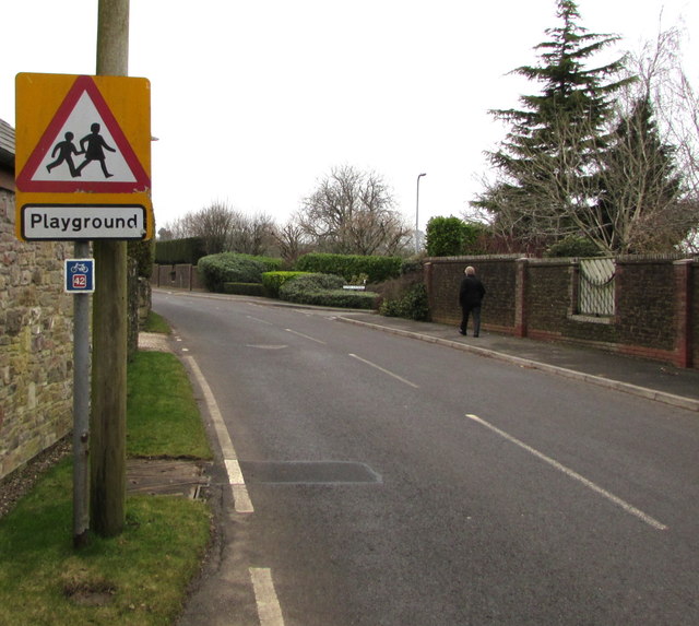
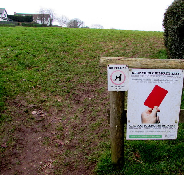
The wood is popular with locals and visitors alike for walking, hiking, and birdwatching. There are several well-maintained paths and trails that wind through the wood, providing opportunities to explore and discover the natural beauty of the area.
Gilbrook Wood is home to a variety of wildlife, including deer, squirrels, and a wide range of bird species. The wood is also known for its diverse plant life, with carpets of bluebells and other wildflowers in the spring.
The wood is managed by the Forestry Commission, who work to maintain the delicate balance of the ecosystem while also ensuring the safety and enjoyment of visitors. There are designated picnic areas and viewpoints throughout the wood, making it a great place to relax and take in the stunning surroundings.
Overall, Gilbrook Wood is a tranquil and picturesque destination for nature lovers and outdoor enthusiasts to enjoy the beauty of the Welsh countryside.
If you have any feedback on the listing, please let us know in the comments section below.
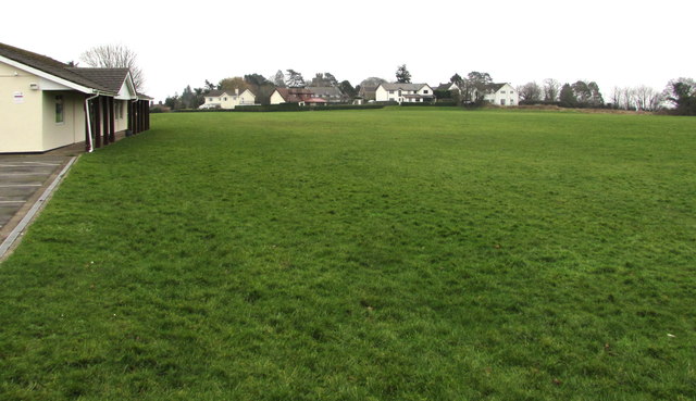
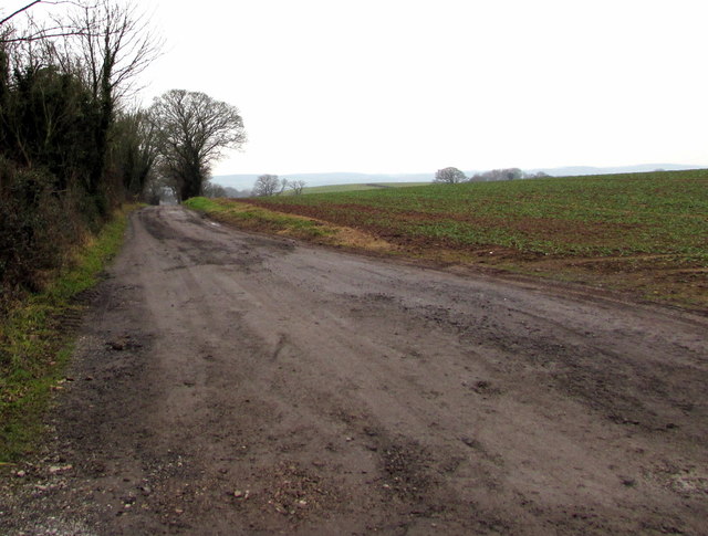
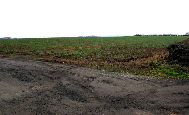
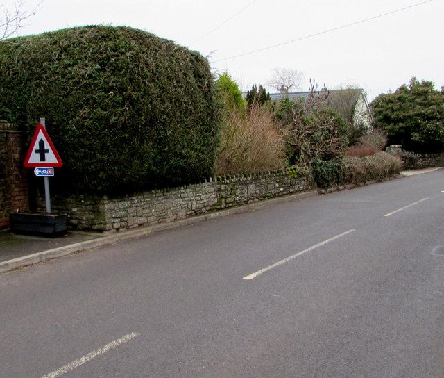
Gilbrook Wood Images
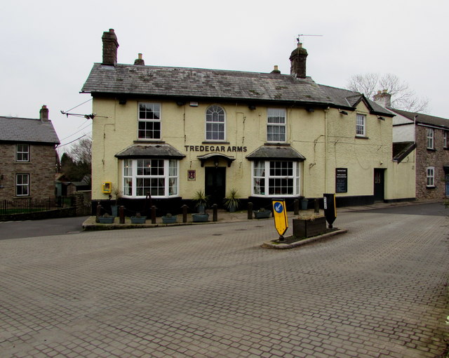
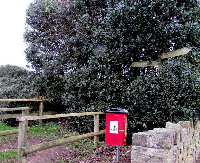
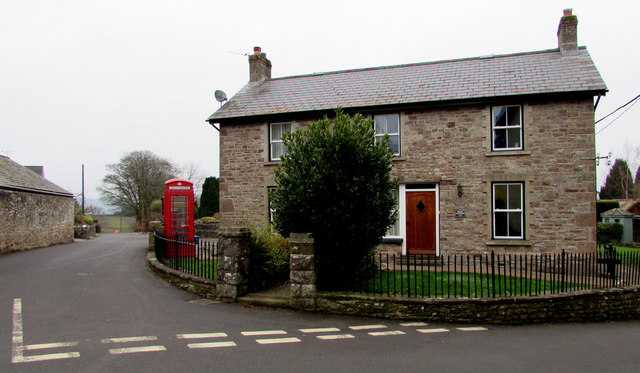
Images are sourced within 2km of 51.649971/-2.7670122 or Grid Reference ST4794. Thanks to Geograph Open Source API. All images are credited.

Gilbrook Wood is located at Grid Ref: ST4794 (Lat: 51.649971, Lng: -2.7670122)
Unitary Authority: Monmouthshire
Police Authority: Gwent
What 3 Words
///darts.twitches.deprives. Near Caerwent, Monmouthshire
Nearby Locations
Related Wikis

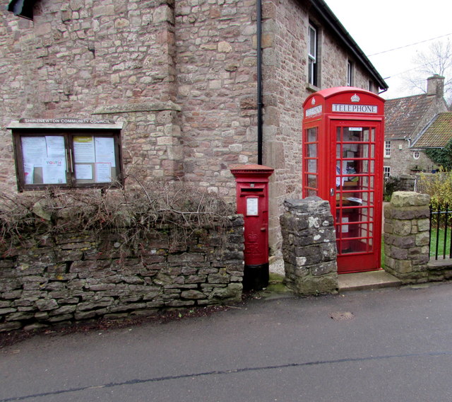
Shirenewton
Shirenewton (Welsh: Drenewydd Gelli-farch) is a village and community in Monmouthshire, south east Wales. It is located 3 miles due west of Chepstow,...
Church of St Thomas a Becket, Shirenewton
The Church of St Thomas a Becket is located in Shirenewton, Monmouthshire, Wales. In the late 12th century the land was inherited by Henry de Bohun. The...

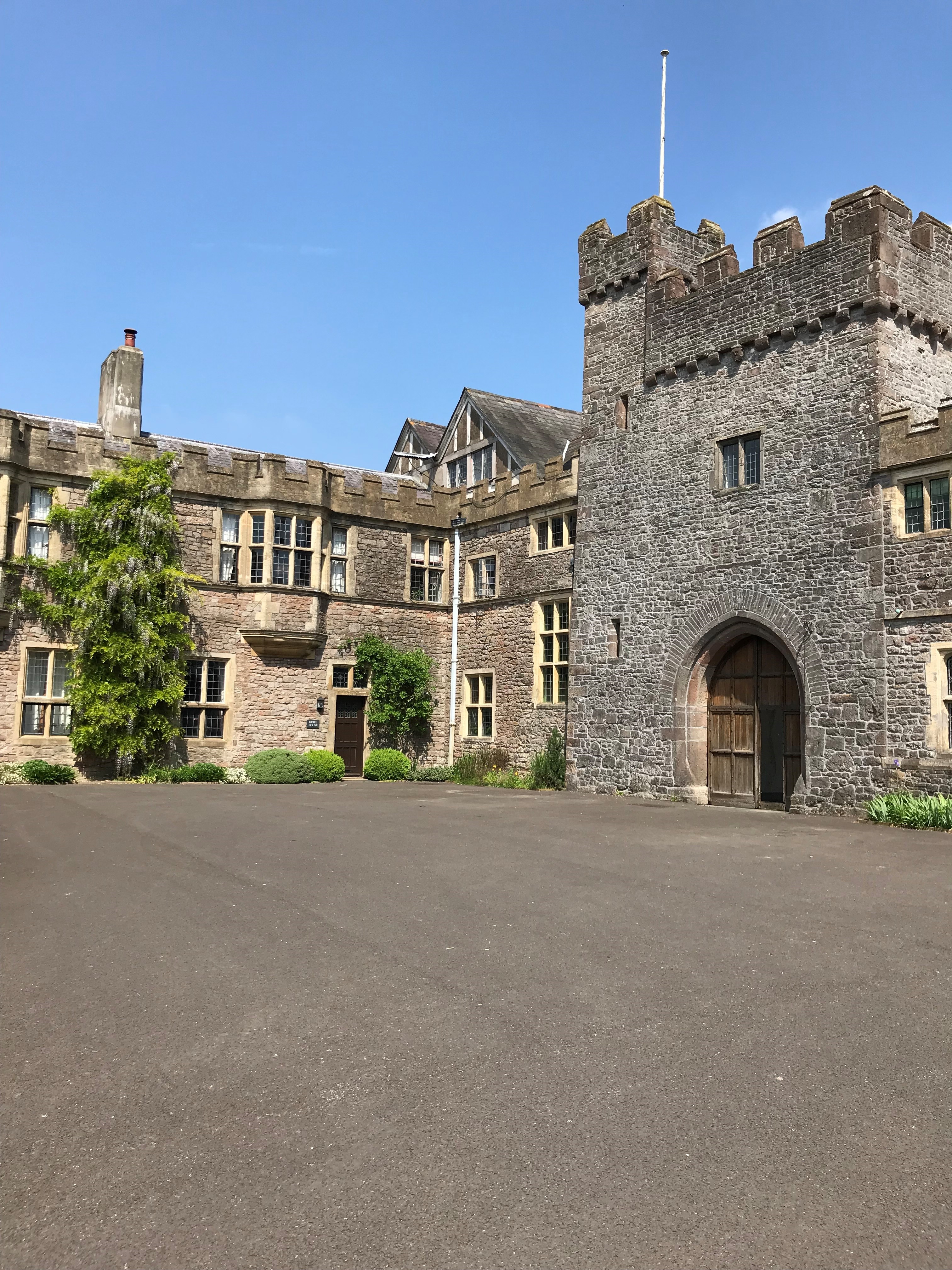
Shirenewton Hall
Shirenewton Hall, originally Shirenewton Court, is a country house and estate adjoining the village of Shirenewton, Monmouthshire, Wales, about 3 miles...
Itton Court
Itton Court, Itton, Devauden, Monmouthshire is a country house. The origin of the house was as an outstation for Chepstow Castle. In the 18th century,...
Nearby Amenities
Located within 500m of 51.649971,-2.7670122Have you been to Gilbrook Wood?
Leave your review of Gilbrook Wood below (or comments, questions and feedback).