Arowry Moss
Wood, Forest in Flintshire
Wales
Arowry Moss
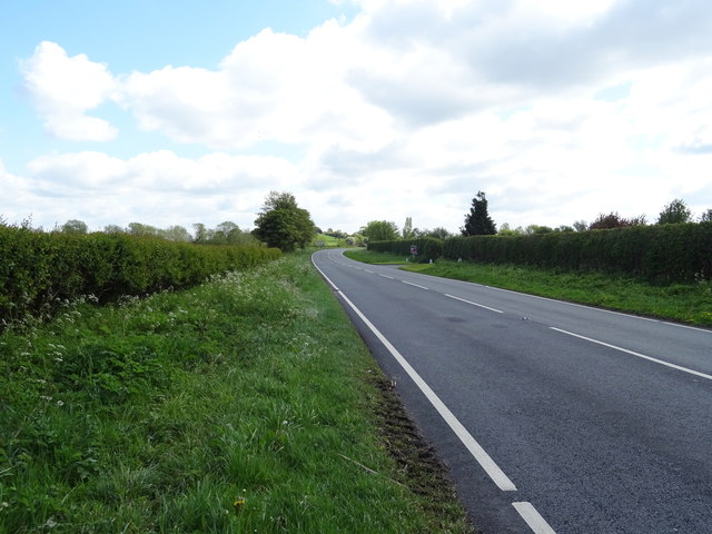
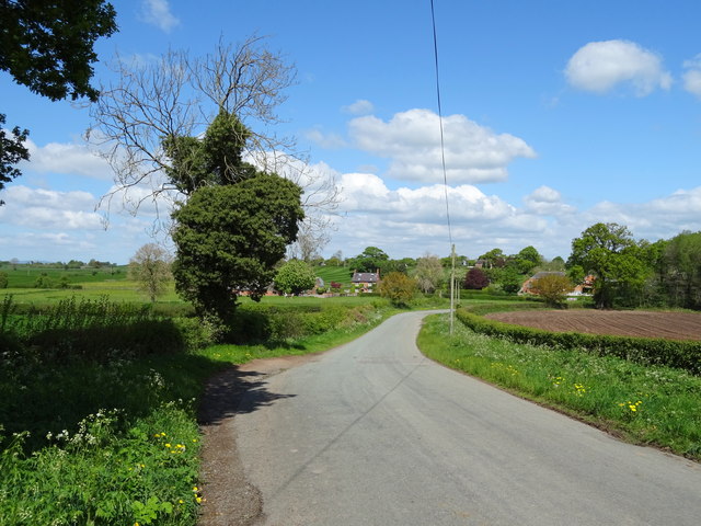
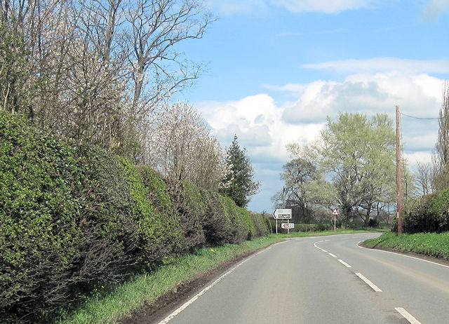
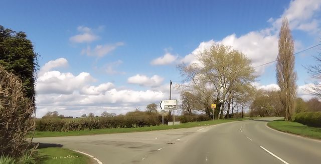
Arowry Moss is a picturesque woodland area located in the county of Flintshire, Wales. Situated just outside the village of Wood, Arowry Moss is known for its stunning natural beauty and diverse ecosystem.
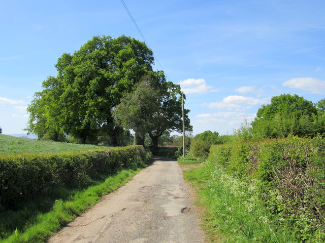
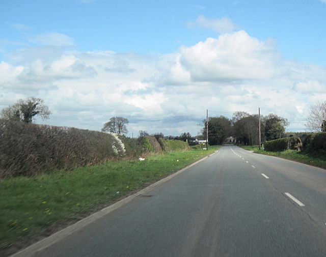
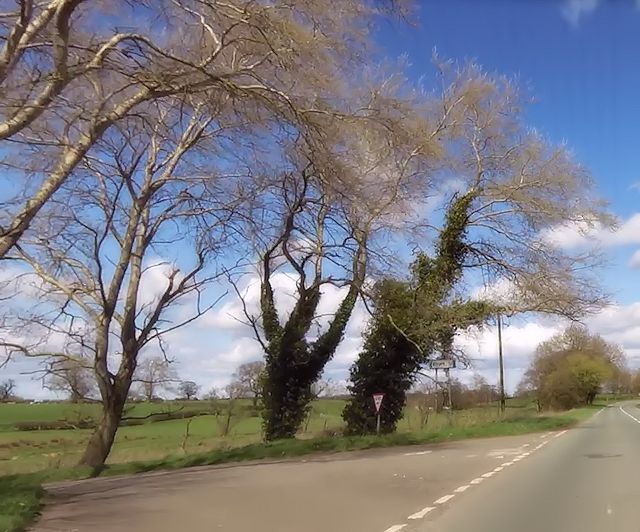
The moss is primarily composed of a mixture of deciduous and coniferous trees, creating a dense forest that covers the rolling hills and valleys of the area. Among the trees that thrive in Arowry Moss are oak, beech, birch, and pine, which provide a vibrant display of colors throughout the year.
The forest is home to a variety of wildlife, including numerous species of birds, mammals, and insects. It is a popular spot among birdwatchers, who come to observe the many resident and migratory species that can be found here. Red kites, buzzards, and woodpeckers are among the birds commonly sighted in the area.
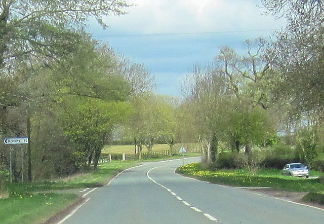
Arowry Moss is also known for its network of walking trails, which offer visitors the opportunity to explore the beauty of the forest up-close. These trails wind through the moss, taking hikers through ancient woodlands, past babbling brooks, and up to breathtaking viewpoints.
The moss is a protected area, managed by the local authority to ensure the preservation of its natural habitats. Visitors are encouraged to follow designated paths and respect the environment. Arowry Moss is a haven for nature lovers and a place of tranquility, where one can immerse themselves in the wonders of the natural world.
If you have any feedback on the listing, please let us know in the comments section below.
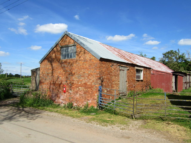
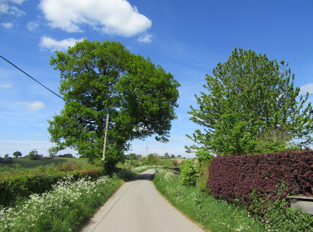
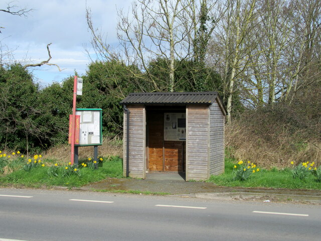
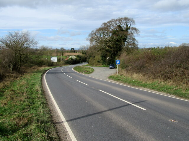
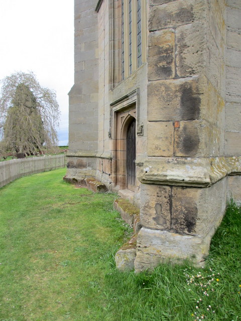
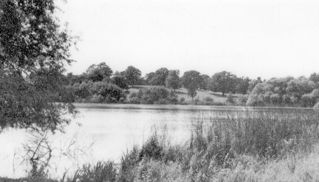
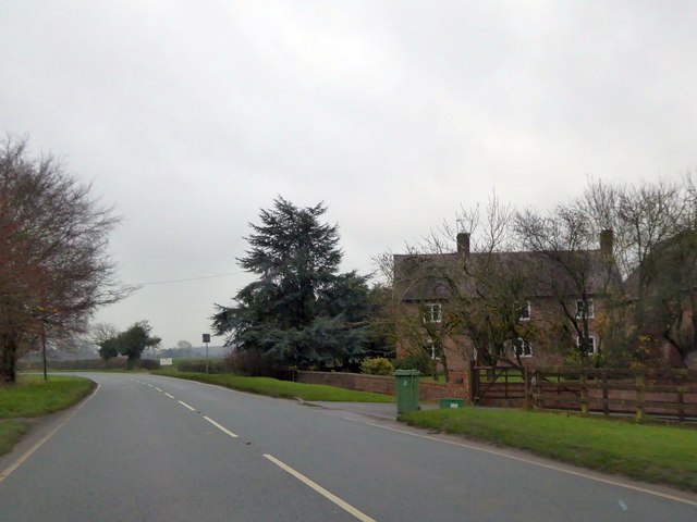
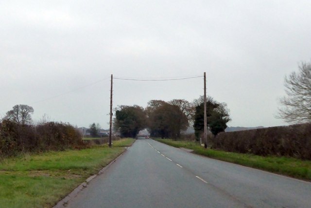
Arowry Moss Images
Images are sourced within 2km of 52.947129/-2.797042 or Grid Reference SJ4639. Thanks to Geograph Open Source API. All images are credited.
Arowry Moss is located at Grid Ref: SJ4639 (Lat: 52.947129, Lng: -2.797042)
Unitary Authority: Wrexham
Police Authority: North Wales
What 3 Words
///unloading.rope.steaming. Near Whitchurch, Shropshire
Nearby Locations
Related Wikis

Llyn Bedydd
Llyn Bedydd is a small lake in Wrexham County Borough, in northeastern Wales, near the border with England. It is 7 kilometres (4.3 mi) south west of...

Arowry
Arowry (Welsh: Yr Owredd) is a village in the community of Hanmer in the rural south-east of Wrexham County Borough, Wales, near the border with England...
Hanmer, Wrexham
Hanmer is a village and community in Wrexham County Borough, Wales. At the 2001 Census the population of the Hanmer community area, which includes Hanmer...

Hanmer Mere
Hanmer Mere (Welsh: Llyn Hanmer) is a natural lake and Site of Special Scientific Interest in Wrexham County Borough, Wales. The village of Hanmer is at...

Bronington
Bronington is a village and community in Wrexham County Borough, Wales, forming a large part of the Maelor Saesneg. Within the boundaries of the historic...

Horseman's Green
Horseman's Green is a village in Wrexham County Borough, Wales. Located in the rural southeast of the county borough, it is close to the Wales-England...

Tybroughton
Tybroughton, occasionally written Ty Broughton, is the name of a former civil parish, historically in the Maelor Saesneg area of Flintshire, Wales and...

Breaden Heath
Breaden Heath is a small village in Shropshire, England. It lies right on the border with Wales.
Nearby Amenities
Located within 500m of 52.947129,-2.797042Have you been to Arowry Moss?
Leave your review of Arowry Moss below (or comments, questions and feedback).