Big Arowry

Settlement in Flintshire

Wales

Big Arowry

A525 towards Whitchurch Looking south east.
A525 towards Whitchurch Credit: JThomas

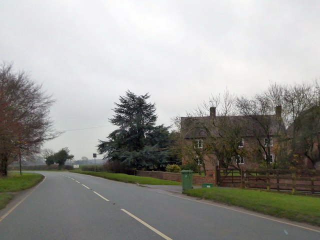
Big Arowry is a small village located in Flintshire, Wales. Situated approximately 3 miles southwest of the town of Mold, Big Arowry is known for its picturesque countryside and tranquil surroundings. With a population of around 200 residents, the village offers a peaceful and close-knit community.

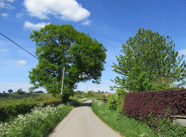
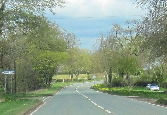
The village is primarily residential, with a mix of traditional Welsh cottages and modern houses. The architecture reflects the area's history, with some buildings dating back to the 18th century. The village is surrounded by rolling hills and farmland, providing stunning views and ample opportunities for outdoor activities such as walking, cycling, and horseback riding.

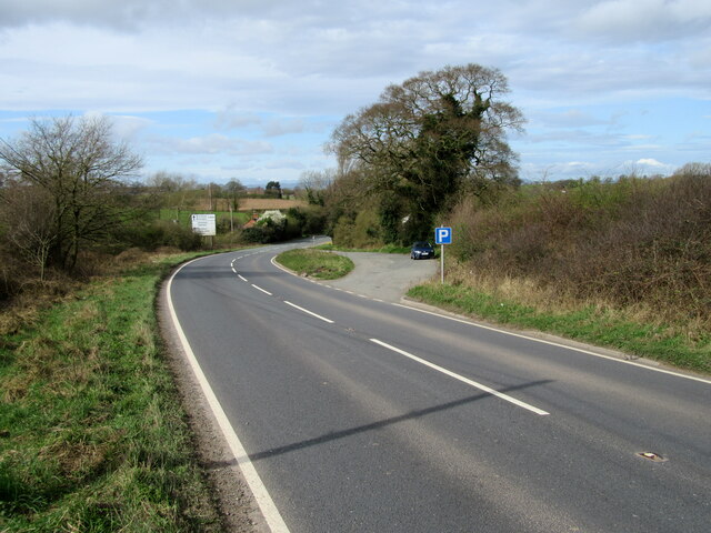
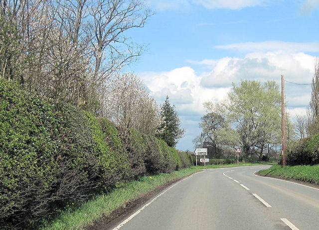
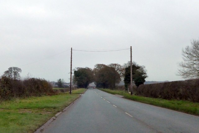
Despite its rural setting, Big Arowry benefits from its proximity to nearby amenities. The town of Mold offers a range of shops, supermarkets, restaurants, and schools, making it convenient for residents to access essential services. Additionally, the village is well-connected to neighboring towns and cities via good road links, including the A541 and A494, allowing for easy commuting.

Big Arowry is also known for its community spirit, with various social events and activities organized throughout the year. These include summer fĂȘtes, Christmas markets, and village gatherings, fostering a strong sense of belonging among the residents.

In summary, Big Arowry is a charming village in Flintshire, Wales, offering a peaceful countryside lifestyle, stunning natural beauty, and a close-knit community.

If you have any feedback on the listing, please let us know in the comments section below.
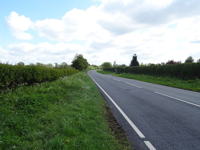
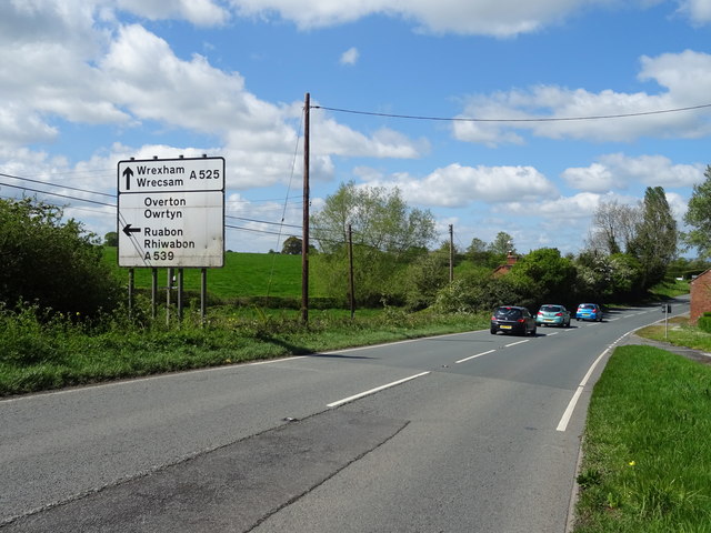
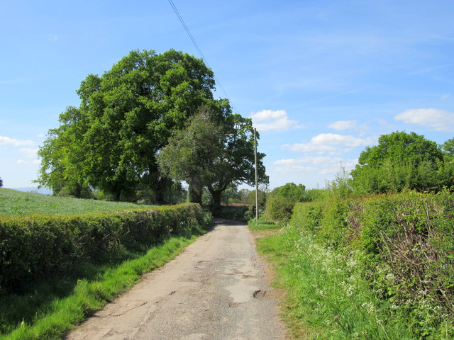
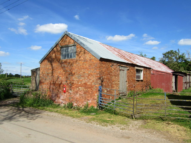
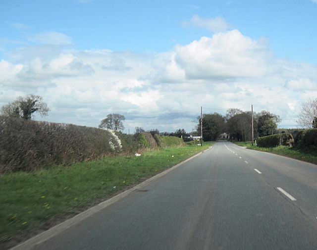
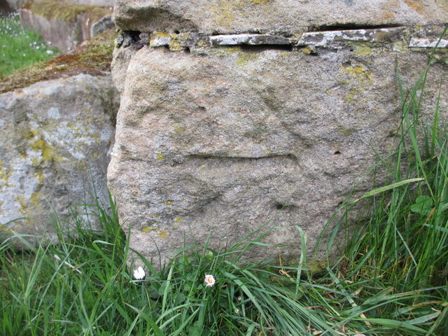
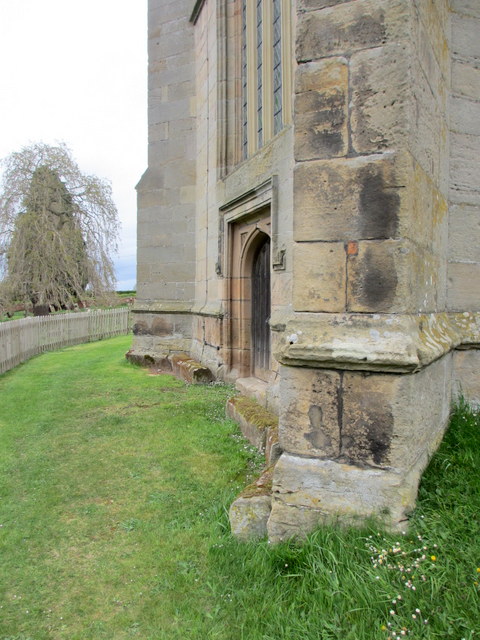
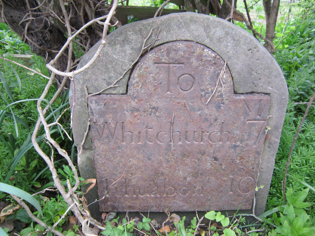
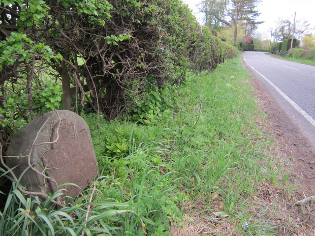
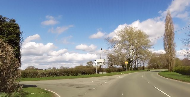
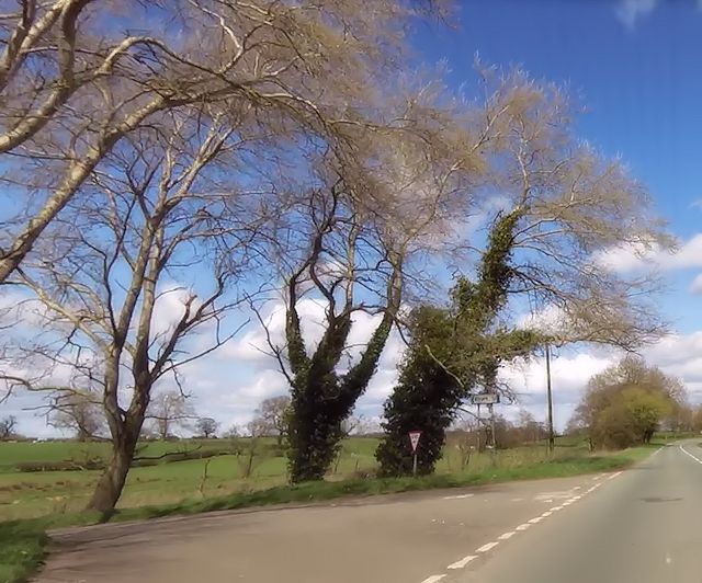
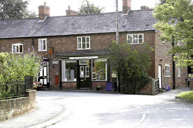
Big Arowry Images

Images are sourced within 2km of 52.947255/-2.805121 or Grid Reference SJ4639. Thanks to Geograph Open Source API. All images are credited.

A525 towards Whitchurch Looking south east.
A525 towards Whitchurch
Looking south east.
A525 towards Wrexham, London Apprentice Looking west.
A525 towards Wrexham, London Apprentice
Looking west.
Brook Lane On the Llwybr Maelor between Hanmer and Penley.
Brook Lane
On the Llwybr Maelor between Hanmer and Penley.
Barn at Platt House
Barn at Platt House
Country lane north of Little Arowry
Road and lay-by The A525 at Eglwys Cross, just before its junction with the A539.
Road and lay-by
The A525 at Eglwys Cross, just before its junction with the A539.
New Lane junction with A495 From eastbound A495
New Lane junction with A495
From eastbound A495
Holebrook farm entrance from Moss lane junction A495 eastbound
Holebrook farm entrance from Moss lane junction
A495 eastbound
Grange Road and Nook Lane crossroads From A495 east
Grange Road and Nook Lane crossroads
From A495 east
Bench mark on Hanmer Church This bench mark is on the south west buttress of St Chad's church tower, Hanmer. See also <a href="https://www.geograph.org.uk/photo/3455060">SJ4539 : The west face of St Chad's church tower, Hanmer</a>
Bench mark on Hanmer Church
This bench mark is on the south west buttress of St Chad's church tower, Hanmer. See also SJ4539 : The west face of St Chad's church tower, Hanmer
The west face of St Chad's church tower, Hanmer Looking across the west face of the church tower, with an Ordnance Survey bench mark at the bottom of nearest buttress - see <a href="https://www.geograph.org.uk/photo/3455056">SJ4539 : Bench mark on Hanmer Church</a>
The west face of St Chad's church tower, Hanmer
Looking across the west face of the church tower, with an Ordnance Survey bench mark at the bottom of nearest buttress - see SJ4539 : Bench mark on Hanmer Church
Milestone at Cumber's Bank, near Hanmer This old milestone is on the south west side of the A539 at Cumber's Bank, west of Hanmer. A milestone is recorded at this location on Ordnance Survey maps from 1873, and a bench mark was also indicated up to 1954, but I couldn't see one today - it may be below ground level? The inscription on the plate is Whitchurch 7 Rhuabon 10, which is an unusual spelling of the more usual Ruabon. See also <a href="https://www.geograph.org.uk/photo/3455532">SJ4439 : Milestone at Cumber's Bank, and the A539</a>
Milestone at Cumber's Bank, near Hanmer
This old milestone is on the south west side of the A539 at Cumber's Bank, west of Hanmer. A milestone is recorded at this location on Ordnance Survey maps from 1873, and a bench mark was also indicated up to 1954, but I couldn't see one today - it may be below ground level? The inscription on the plate is Whitchurch 7 Rhuabon 10, which is an unusual spelling of the more usual Ruabon. See also SJ4439 : Milestone at Cumber's Bank, and the A539
Milestone at Cumber's Bank, and the A539 This old milestone is alongside the A539 at Cumber's Bank. The inscription is Whitchurch 7 Rhuabon 10, which is an unusual spelling of Ruabon. For a close up of the plate see <a href="https://www.geograph.org.uk/photo/3455507">SJ4439 : Milestone at Cumber's Bank, near Hanmer</a>
Milestone at Cumber's Bank, and the A539
This old milestone is alongside the A539 at Cumber's Bank. The inscription is Whitchurch 7 Rhuabon 10, which is an unusual spelling of Ruabon. For a close up of the plate see SJ4439 : Milestone at Cumber's Bank, near Hanmer
Hanmer Lake, 1951 View SE near the village, which is off to the right. (Cf. <a href="https://www.geograph.org.uk/photo/223695">SJ4539 : Hanmer Mere</a>).
Hanmer Lake, 1951
View SE near the village, which is off to the right. (Cf. SJ4539 : Hanmer Mere).
Lane Farm by the A495
Grange Road and Nook Lane crossroads with A495 On this flat landscape, the A495 runs in a straight line, and passes through a short avenue of low trees beyond the crossroads
Grange Road and Nook Lane crossroads with A495
On this flat landscape, the A495 runs in a straight line, and passes through a short avenue of low trees beyond the crossroads
Junction near Lane Farm
Moss Lane junction
Moss Lane junction
Show me another place!

Big Arowry is located at Grid Ref: SJ4639 (Lat: 52.947255, Lng: -2.805121)

Unitary Authority: Wrexham

Police Authority: North Wales

Also known as: Arowry, Yr Owredd

What 3 Words

///chestnuts.sublet.departure. Near Ellesmere, Shropshire

Related Wikis

Arowry

Arowry (Welsh: Yr Owredd) is a village in the community of Hanmer in the rural south-east of Wrexham County Borough, Wales, near the border with England...

Hanmer, Wrexham

Hanmer is a village and community in Wrexham County Borough, Wales. At the 2001 Census the population of the Hanmer community area, which includes Hanmer...
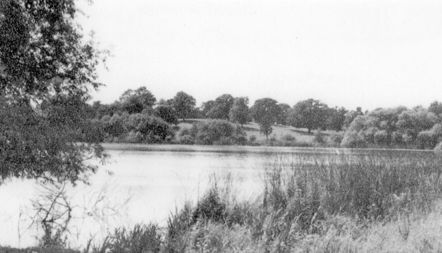
Hanmer Mere

Hanmer Mere (Welsh: Llyn Hanmer) is a natural lake and Site of Special Scientific Interest in Wrexham County Borough, Wales. The village of Hanmer is at...

Llyn Bedydd

Llyn Bedydd is a small lake in Wrexham County Borough, in northeastern Wales, near the border with England. It is 7 kilometres (4.3 mi) south west of...

Bronington

Bronington is a village and community in Wrexham County Borough, Wales, forming a large part of the Maelor Saesneg. Within the boundaries of the historic...

Horseman's Green

Horseman's Green is a village in Wrexham County Borough, Wales. Located in the rural southeast of the county borough, it is close to the Wales-England...

Breaden Heath

Breaden Heath is a small village in Shropshire, England. It lies right on the border with Wales.

Tybroughton

Tybroughton, occasionally written Ty Broughton, is the name of a former civil parish, historically in the Maelor Saesneg area of Flintshire, Wales and...

Nearby Amenities

Located within 500m of 52.947255,-2.805121
Arowry
Alt Name: Big Arowry
Alt Name Cy: Big Arowry;Arowry
Alt Name En: Big Arowry
Name Cy: Yr Owredd
Name En: Arowry
Place: village
Wikidata: Q4795672
Wikipedia: en:Arowry
Lat/Long: 52.9470071/-2.8080503
Barrier: stile
Foot: yes
Lat/Long: 52.9504429/-2.8095436
Barrier: stile
Foot: yes
Lat/Long: 52.9498468/-2.8052069
Barrier: stile
Foot: yes
Lat/Long: 52.9497633/-2.8076205
Direction: 165
Generator Method: photovoltaic
Generator Output Electricity: yes
Generator Solar Modules: 8
Generator Source: solar
Generator Type: solar_photovoltaic_panel
Location: roof
Power: generator
Lat/Long: 52.9471963/-2.8074655
Direction: 215
Generator Method: photovoltaic
Generator Output Electricity: yes
Generator Solar Modules: 20
Generator Source: solar
Generator Type: solar_photovoltaic_panel
Location: roof
Power: generator
Lat/Long: 52.9467341/-2.8036232
The data included in this document is from www.openstreetmap.org. The data is made available under ODbL.

Have you been to Big Arowry?

Leave your review of Big Arowry below (or comments, questions and feedback).