Crewe's Wood

Wood, Forest in Flintshire

Wales

Crewe's Wood

Brook Lane On the Llwybr Maelor between Hanmer and Penley.
Brook Lane Credit: John H Darch

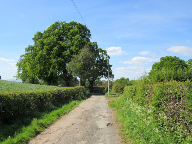
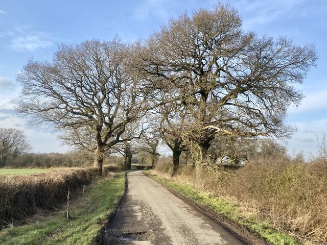
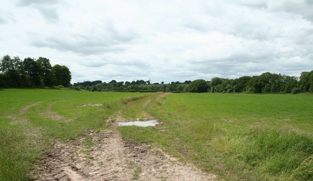
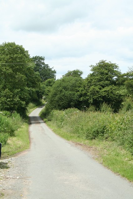
Crewe's Wood is a picturesque woodland located in Flintshire, Wales. Covering an area of approximately 20 acres, the wood is known for its diverse range of tree species, including oak, beech, and birch. The wood is a popular destination for nature enthusiasts and hikers, offering a peaceful and tranquil setting for outdoor activities.

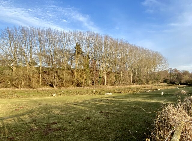
Visitors to Crewe's Wood can enjoy a network of well-maintained walking trails that meander through the forest, providing opportunities to observe local wildlife and bird species. The wood is also home to a variety of plant life, including bluebells and ferns, adding to its natural beauty.

In addition to its natural attractions, Crewe's Wood has historical significance, with evidence of ancient settlements and archaeological sites dating back to the Iron Age. The wood is a designated Site of Special Scientific Interest (SSSI), recognizing its importance for biodiversity and conservation efforts.

Overall, Crewe's Wood is a hidden gem in Flintshire, offering visitors a chance to escape the hustle and bustle of everyday life and immerse themselves in the beauty of nature.

If you have any feedback on the listing, please let us know in the comments section below.
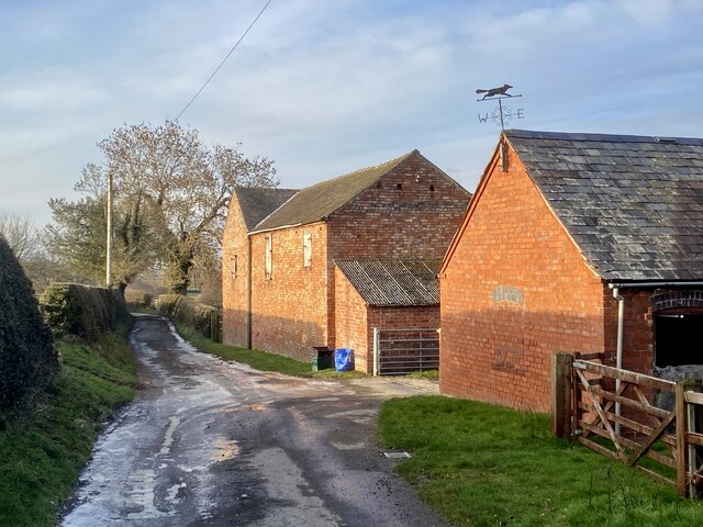
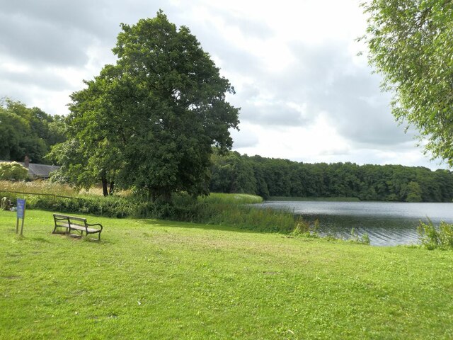
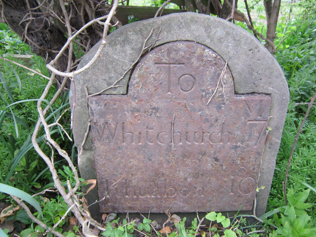
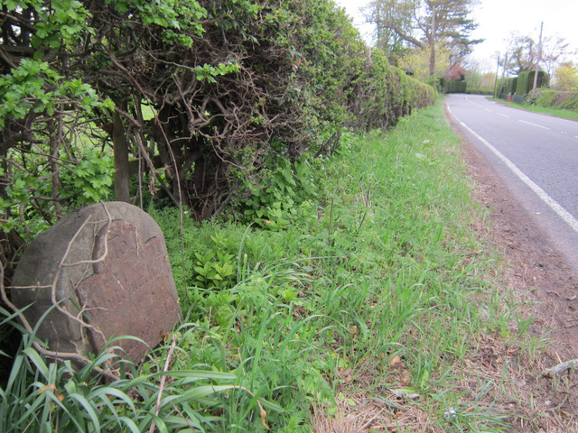
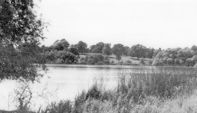
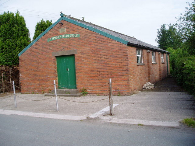
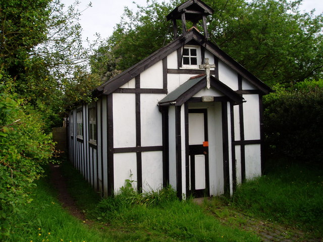
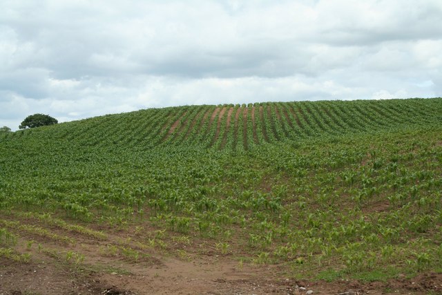
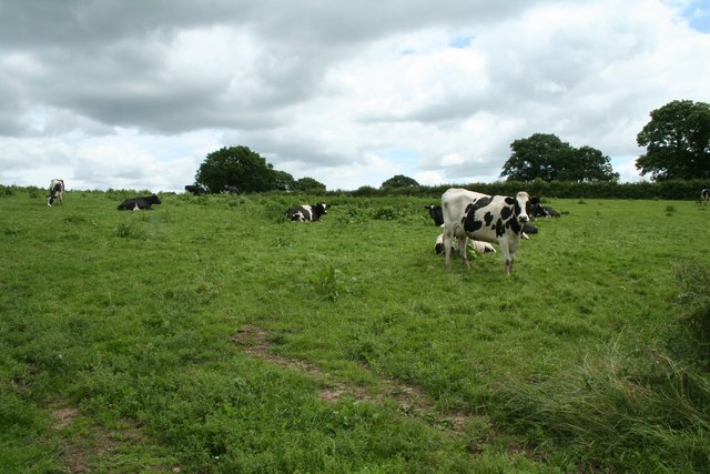
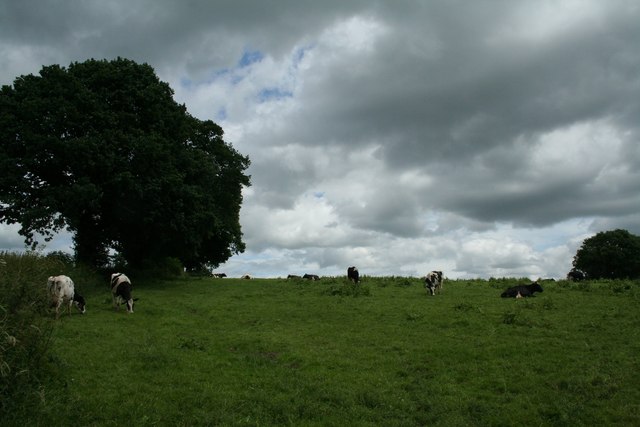
Crewe's Wood Images

Images are sourced within 2km of 52.950056/-2.8369096 or Grid Reference SJ4339. Thanks to Geograph Open Source API. All images are credited.

Brook Lane On the Llwybr Maelor between Hanmer and Penley.
Brook Lane
On the Llwybr Maelor between Hanmer and Penley.
Trees in winter
Trees in winter
Barn at The Bryn
Barn at The Bryn
Winter Woodland
Winter Woodland
Farm buildings in mellow red brick At Pigeon House.
Farm buildings in mellow red brick
At Pigeon House.
Open area at the northern end of  Hanmer Mere
Open area at the northern end of Hanmer Mere
Bench mark on Hanmer Church This bench mark is on the south west buttress of St Chad's church tower, Hanmer. See also <a href="https://www.geograph.org.uk/photo/3455060">SJ4539 : The west face of St Chad's church tower, Hanmer</a>
Bench mark on Hanmer Church
This bench mark is on the south west buttress of St Chad's church tower, Hanmer. See also SJ4539 : The west face of St Chad's church tower, Hanmer
The west face of St Chad's church tower, Hanmer Looking across the west face of the church tower, with an Ordnance Survey bench mark at the bottom of nearest buttress - see <a href="https://www.geograph.org.uk/photo/3455056">SJ4539 : Bench mark on Hanmer Church</a>
The west face of St Chad's church tower, Hanmer
Looking across the west face of the church tower, with an Ordnance Survey bench mark at the bottom of nearest buttress - see SJ4539 : Bench mark on Hanmer Church
Milestone at Cumber's Bank, near Hanmer This old milestone is on the south west side of the A539 at Cumber's Bank, west of Hanmer. A milestone is recorded at this location on Ordnance Survey maps from 1873, and a bench mark was also indicated up to 1954, but I couldn't see one today - it may be below ground level? The inscription on the plate is Whitchurch 7 Rhuabon 10, which is an unusual spelling of the more usual Ruabon. See also <a href="https://www.geograph.org.uk/photo/3455532">SJ4439 : Milestone at Cumber's Bank, and the A539</a>
Milestone at Cumber's Bank, near Hanmer
This old milestone is on the south west side of the A539 at Cumber's Bank, west of Hanmer. A milestone is recorded at this location on Ordnance Survey maps from 1873, and a bench mark was also indicated up to 1954, but I couldn't see one today - it may be below ground level? The inscription on the plate is Whitchurch 7 Rhuabon 10, which is an unusual spelling of the more usual Ruabon. See also SJ4439 : Milestone at Cumber's Bank, and the A539
Milestone at Cumber's Bank, and the A539 This old milestone is alongside the A539 at Cumber's Bank. The inscription is Whitchurch 7 Rhuabon 10, which is an unusual spelling of Ruabon. For a close up of the plate see <a href="https://www.geograph.org.uk/photo/3455507">SJ4439 : Milestone at Cumber's Bank, near Hanmer</a>
Milestone at Cumber's Bank, and the A539
This old milestone is alongside the A539 at Cumber's Bank. The inscription is Whitchurch 7 Rhuabon 10, which is an unusual spelling of Ruabon. For a close up of the plate see SJ4439 : Milestone at Cumber's Bank, near Hanmer
Hanmer Lake, 1951 View SE near the village, which is off to the right. (Cf. <a href="https://www.geograph.org.uk/photo/223695">SJ4539 : Hanmer Mere</a>).
Hanmer Lake, 1951
View SE near the village, which is off to the right. (Cf. SJ4539 : Hanmer Mere).
Hanmer Scout Hall (in Horseman's Green) Erected in 1957 for the 1st Hanmer Scout Group
Hanmer Scout Hall (in Horseman's Green)
Erected in 1957 for the 1st Hanmer Scout Group
Church at Horsemans Green South East of Bangor on Dee
Church at Horsemans Green
South East of Bangor on Dee
"Amaizeing" This fine field of maize seem to be a little late in development. However it enabled the photographer to capture the regimented planting lines.
"Amaizeing"
This fine field of maize seem to be a little late in development. However it enabled the photographer to capture the regimented planting lines.
Harbingers of Rain Although the  majority of the Friesian Herd and the clouds seemed to indicate that rain was imminent, one at least seemed to be interested in the photographers activities.
Harbingers of Rain
Although the majority of the Friesian Herd and the clouds seemed to indicate that rain was imminent, one at least seemed to be interested in the photographers activities.
Artists Sky June in the Country.
Artists Sky
June in the Country.
Country Drive On my Sheet 117 this was shown as a country drive?, but now has been relegated to a footpath.
Country Drive
On my Sheet 117 this was shown as a country drive?, but now has been relegated to a footpath.
The Bank Yes, but which one?
The Bank
Yes, but which one?
Show me another place!

Crewe's Wood is located at Grid Ref: SJ4339 (Lat: 52.950056, Lng: -2.8369096)

Unitary Authority: Wrexham

Police Authority: North Wales

What 3 Words

///marriage.closed.micro. Near Ellesmere, Shropshire

Nearby Locations

Street Lydan Crewe's Wood

Related Wikis

Hanmer Mere

Hanmer Mere (Welsh: Llyn Hanmer) is a natural lake and Site of Special Scientific Interest in Wrexham County Borough, Wales. The village of Hanmer is at...

Hanmer, Wrexham

Hanmer is a village and community in Wrexham County Borough, Wales. At the 2001 Census the population of the Hanmer community area, which includes Hanmer...

Halghton

Halghton (Welsh: Halchdyn) is a dispersed settlement and former civil parish in the east of Wrexham County Borough, Wales. It is part of the community...

Horseman's Green

Horseman's Green is a village in Wrexham County Borough, Wales. Located in the rural southeast of the county borough, it is close to the Wales-England...

Nearby Amenities

Located within 500m of 52.950056,-2.8369096
Street Lydan
Alt Name: Strytlydan
Alt Name Cy: Strydlydan
Alt Name En: Strytlydan
Name Cy: Strytlydan
Name En: Street Lydan
Place: hamlet
Wikidata: Q107032943
Lat/Long: 52.951374/-2.8438339
The data included in this document is from www.openstreetmap.org. The data is made available under ODbL.

Have you been to Crewe's Wood?

Leave your review of Crewe's Wood below (or comments, questions and feedback).