Coed y Ffermau

Wood, Forest in Monmouthshire

Wales

Coed y Ffermau

Llan y Nant Cottage, Llangwm, Monmouthshire On the corner of Llanynant Road and Chapel Road.
Llan y Nant Cottage, Llangwm, Monmouthshire Credit: Jaggery

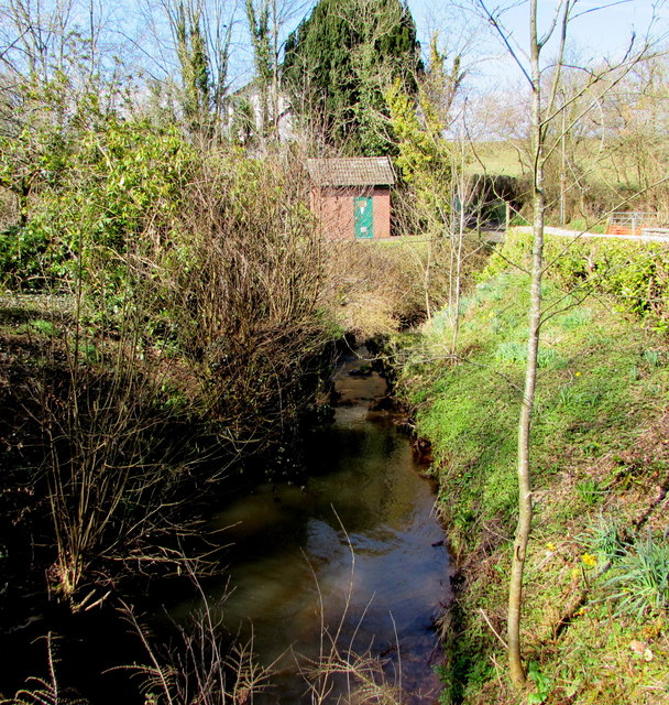
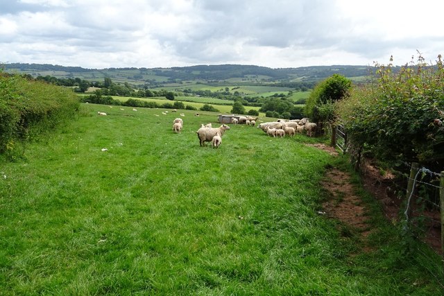
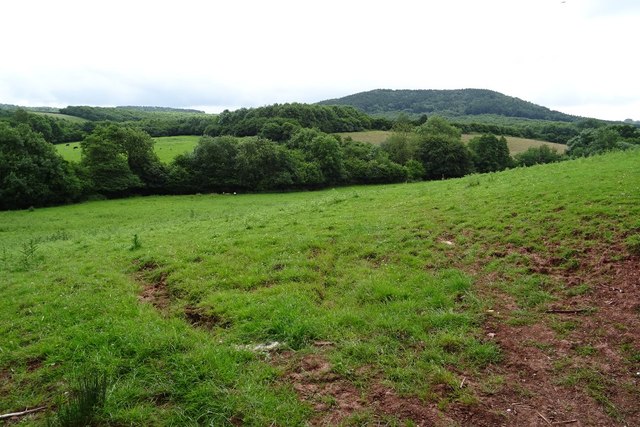
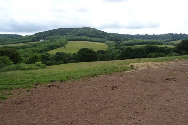
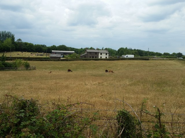
Coed y Ffermau, located in Monmouthshire, Wales, is a picturesque wood or forest known for its natural beauty and rich biodiversity. Spanning an area of approximately 150 hectares, it offers a tranquil retreat for nature enthusiasts and hikers alike.

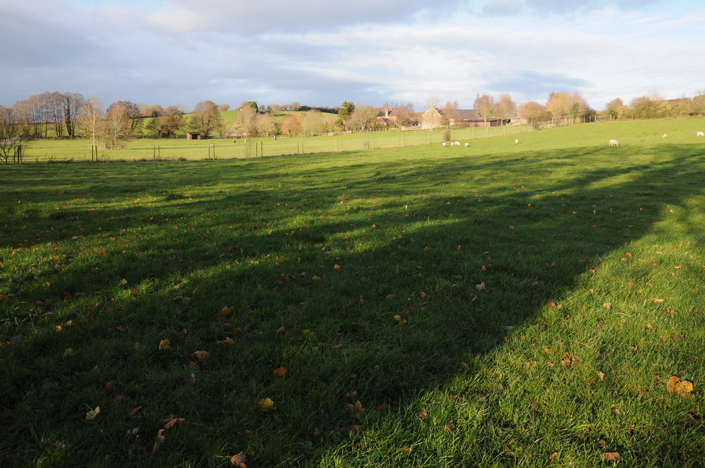
The wood is predominantly made up of deciduous trees such as oak, beech, and ash, lending it a vibrant and ever-changing landscape throughout the seasons. The dense canopy provides a habitat for a variety of bird species, including woodpeckers, tits, and thrushes, making it a haven for birdwatchers.

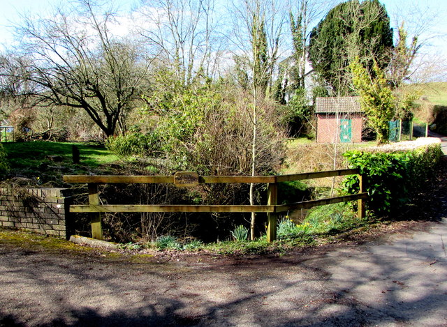
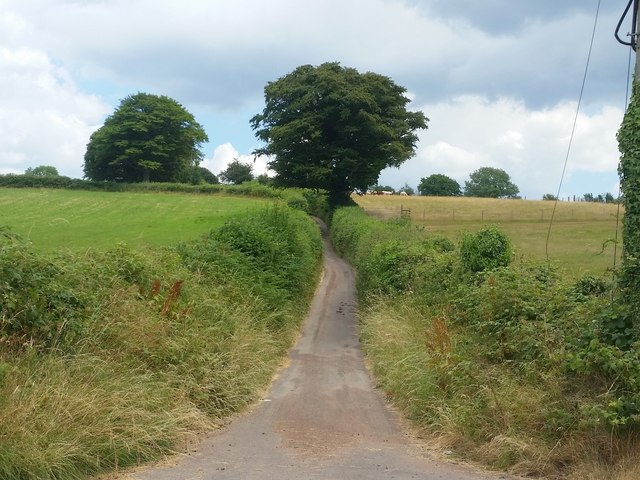
Coed y Ffermau is crisscrossed by a network of well-maintained walking trails, allowing visitors to explore its many hidden gems. The paths wind through the woodlands, offering glimpses of babbling brooks and small ponds along the way. These water features not only enhance the natural beauty of the area but also support a diverse range of aquatic plants and animals.

The wood is also home to a plethora of wildlife, including mammals like badgers, foxes, and grey squirrels. Rare species such as the lesser horseshoe bat can also be found here, making it a site of interest for conservationists and researchers.

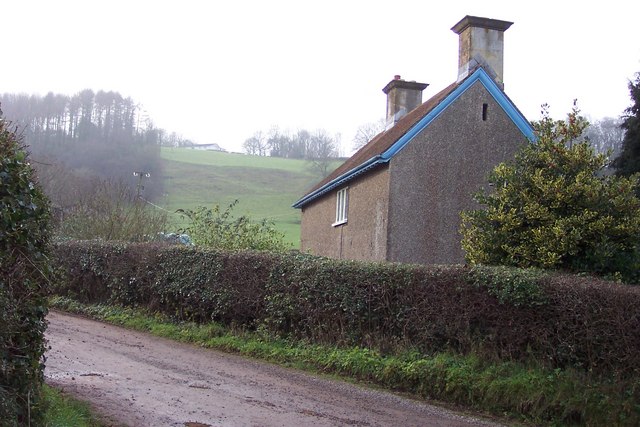
In addition to its natural wonders, Coed y Ffermau boasts a fascinating history. The wood was once part of the estate of a nearby manor house and its remnants, including the remains of a walled garden, can still be seen today. These historical features add an extra layer of intrigue and charm to the wood.

Overall, Coed y Ffermau offers a captivating experience for nature lovers, history enthusiasts, and those seeking a peaceful escape in the heart of Monmouthshire.

If you have any feedback on the listing, please let us know in the comments section below.

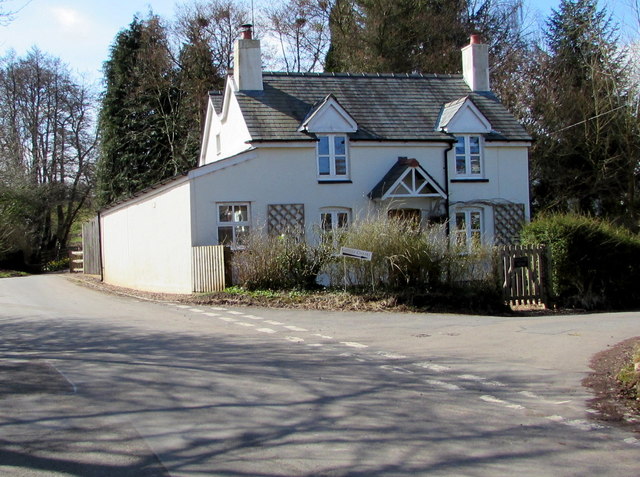
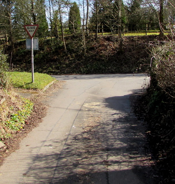
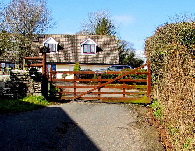
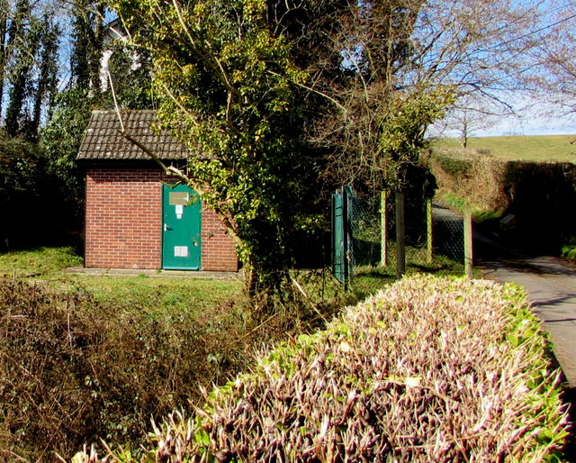
Coed y Ffermau Images

Images are sourced within 2km of 51.689232/-2.8131149 or Grid Reference ST4399. Thanks to Geograph Open Source API. All images are credited.

Llan y Nant Cottage, Llangwm, Monmouthshire On the corner of Llanynant Road and Chapel Road.
Llan y Nant Cottage, Llangwm, Monmouthshire
On the corner of Llanynant Road and Chapel Road.
Junction of Chapel Road and Llanynant Road, Llangwm, Monmouthshire The Give Way sign on the corner of Llanynant Road faces Chapel Road.
Junction of Chapel Road and Llanynant Road, Llangwm, Monmouthshire
The Give Way sign on the corner of Llanynant Road faces Chapel Road.
Entrance to Chapel Farm, Llangwm, Monmouthshire From the western end of Chapel Road, 120 metres west of the Llanynant Road junction.
Entrance to Chapel Farm, Llangwm, Monmouthshire
From the western end of Chapel Road, 120 metres west of the Llanynant Road junction.
North side of Salem Baptist Chapel, Llangwm, Monmouthshire Viewed from Chapel Road. Built in 1840, the chapel was Grade II listed in 2000.
North side of Salem Baptist Chapel, Llangwm, Monmouthshire
Viewed from Chapel Road. Built in 1840, the chapel was Grade II listed in 2000.
No Through Road sign at the eastern end of Chapel Road,  Llangwm, Monmouthshire Facing Llanynant Road. Chapel Road extends ahead for 120 metres to the entrance <a title="https://www.geograph.org.uk/photo/5720377" href="https://www.geograph.org.uk/photo/5720377">Link</a> to Chapel Farm.
No Through Road sign at the eastern end of Chapel Road, Llangwm, Monmouthshire
Facing Llanynant Road. Chapel Road extends ahead for 120 metres to the entrance Link to Chapel Farm.
Coed Cwnwr Pumping Station, Llangwm, Monmouthshire The brick building is in a Welsh Water site above the brook named Nant y March. Viewed from Chapel Road.
Coed Cwnwr Pumping Station, Llangwm, Monmouthshire
The brick building is in a Welsh Water site above the brook named Nant y March. Viewed from Chapel Road.
Nant y March, Llangwm, Monmouthshire Brook (or stream) below Chapel Road. Coed Cwnwr Pumping Station <a title="https://www.geograph.org.uk/photo/5720426" href="https://www.geograph.org.uk/photo/5720426">Link</a> is in the background.
Nant y March, Llangwm, Monmouthshire
Brook (or stream) below Chapel Road. Coed Cwnwr Pumping Station Link is in the background.
Cefn Bychan Close name sign on a fence, Llangwm, Monmouthshire The wooden sign is on a wooden fence above Nant y March. <a title="https://www.geograph.org.uk/photo/5720437" href="https://www.geograph.org.uk/photo/5720437">Link</a> 
Cefn Bychan Close houses are beyond the left edge of the photo. 
Chapel Road is beyond the right edge. 
The brick building <a title="https://www.geograph.org.uk/photo/5720426" href="https://www.geograph.org.uk/photo/5720426">Link</a> is Coed Cwnwr Pumping Station.
Cefn Bychan Close name sign on a fence, Llangwm, Monmouthshire
The wooden sign is on a wooden fence above Nant y March. Link Cefn Bychan Close houses are beyond the left edge of the photo. Chapel Road is beyond the right edge. The brick building Link is Coed Cwnwr Pumping Station.
B4235 near Beaufort Bungalow
B4235 on bend at site of Great Wood, now felled
Ewes and lambs Ewes and lambs in a field near New House, Wolvesnewton.
Ewes and lambs
Ewes and lambs in a field near New House, Wolvesnewton.
Cottage in Llangwm Cottage on the corner of Chapel Road and Llanynant Road in Llangwm.
Cottage in Llangwm
Cottage on the corner of Chapel Road and Llanynant Road in Llangwm.
Farmland near Nantymark Farmland near Nantymark south of the village of Llangwm.
Farmland near Nantymark
Farmland near Nantymark south of the village of Llangwm.
View to Trevella Big Wood View to Trevella Big Wood on Golden Hill, south of the village of Llangwm
View to Trevella Big Wood
View to Trevella Big Wood on Golden Hill, south of the village of Llangwm
Alpacas at Goytre Farm The grass is showing the signs of drought in the summer of 2018.
Alpacas at Goytre Farm
The grass is showing the signs of drought in the summer of 2018.
Narrow Lane - Old Road The name of this lane ascending from the crossroads near Goytre Farm.
Narrow Lane - Old Road
The name of this lane ascending from the crossroads near Goytre Farm.
Wolvesnewton parish church with cross in the churchyard
New House At the top of the hill is Camp House, beside one of the many hill forts around here.
New House
At the top of the hill is Camp House, beside one of the many hill forts around here.
Show me another place!

Coed y Ffermau is located at Grid Ref: ST4399 (Lat: 51.689232, Lng: -2.8131149)

Unitary Authority: Monmouthshire

Police Authority: Gwent

What 3 Words

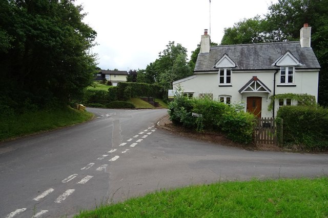
///jacuzzi.visitor.motored. Near Llangwm, Monmouthshire

Nearby Locations

Coed y Ffermau

Related Wikis

Llangwm, Monmouthshire

Llangwm is a small rural village and former community, now in the community of Llantrisant Fawr, in Monmouthshire, south east Wales. It is located 3 miles...

St Jerome's Church, Llangwm

The Church of St Jerome stands in the settlement of Llangwm Uchaf, (upper) Llangwm, in a remote part of Monmouthshire, Wales. Originally constructed in...

Wolvesnewton

Wolvesnewton (Welsh: Llanwynell) is a small village in Monmouthshire, Wales. == Location == Wolvesnewton, sometimes historically Wolves Newton, is in the...

Church of St Thomas à Becket, Wolvesnewton

The Church of Saint Thomas à Becket in Wolvesnewton, Monmouthshire, Wales has its origins in the 13th century. Restored in the 19th century, it remains...

Newchurch, Monmouthshire

Newchurch (Welsh: Yr Eglwys Newydd ar y Cefn, meaning "new church on the ridge") is an extensive rural parish and small hamlet in Monmouthshire, south...

Church of the Holy Cross, Kilgwrrwg

The Church of the Holy Cross, Kilgwrrwg, Monmouthshire, Wales, is an early medieval parish church that once supported a now abandoned village. A Grade...

Cwrt y Brychan barn, stable and granary

The barn, stable and granary at Cwrt y Brychan (Brecon Court), Llansoy, Monmouthshire are a range of farm buildings constructed in the 16th century. The...

Gaerllwyd

Gaerllwyd is a village in Monmouthshire, south east Wales, United Kingdom. == Location == Gaerllwyd is located 6 miles (9.7 km) south east of Usk and 7...

Nearby Amenities

Located within 500m of 51.689232,-2.8131149
Grit Bin
Lat/Long: 51.6865786/-2.815315
Direction: SSW
Generator Method: photovoltaic
Generator Output Electricity: yes
Generator Solar Modules: 4
Generator Source: solar
Generator Type: solar_photovoltaic_panel
Location: roof
Power: generator
Lat/Long: 51.6873336/-2.8098205
Direction: SSW
Generator Method: photovoltaic
Generator Output Electricity: yes
Generator Solar Modules: 10
Generator Source: solar
Generator Type: solar_photovoltaic_panel
Location: roof
Power: generator
Lat/Long: 51.6873569/-2.8099103
Power: pole
Lat/Long: 51.6917612/-2.8182607
Power: pole
Lat/Long: 51.6919741/-2.8173584
The data included in this document is from www.openstreetmap.org. The data is made available under ODbL.

Have you been to Coed y Ffermau?

Leave your review of Coed y Ffermau below (or comments, questions and feedback).