Caldershaw
Settlement in Lancashire
England
Caldershaw
Caldershaw is a small village located in the county of Lancashire, England. Situated in the picturesque Rossendale Valley, it is nestled between the towns of Rawtenstall and Edenfield. The village is known for its charming rural setting and its close proximity to the stunning Pennine Hills, offering residents and visitors alike ample opportunities for outdoor activities and scenic walks.
Historically, Caldershaw was primarily an agricultural community, with farming being the main occupation of its inhabitants. However, as the industrial revolution took hold in the 19th century, the village saw significant development in the textile industry, particularly cotton mills. These mills played a crucial role in shaping the local economy and providing employment opportunities for the villagers.
Today, Caldershaw retains its rural character, with a mix of traditional stone-built cottages and more modern housing developments. It boasts a close-knit community, with a range of amenities including a local primary school, a village hall, and a handful of shops and pubs. The village is well-connected, with good transport links to nearby towns and cities, making it a popular residential location for commuters.
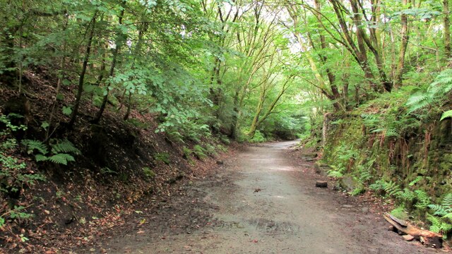
Caldershaw is also known for its natural beauty, with the River Irwell flowing through its heart, offering picturesque views and opportunities for fishing and boating. The village is surrounded by rolling hills and green landscapes, making it an ideal location for nature lovers and those seeking a peaceful retreat from the hustle and bustle of city life.
Overall, Caldershaw is a charming village in Lancashire that offers a tranquil and idyllic lifestyle, combined with easy access to the wider amenities and attractions of the region.
If you have any feedback on the listing, please let us know in the comments section below.
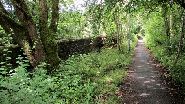
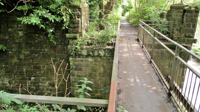
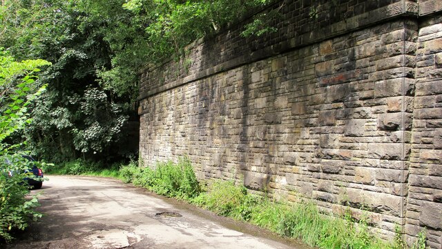
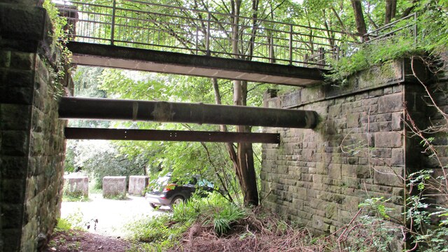
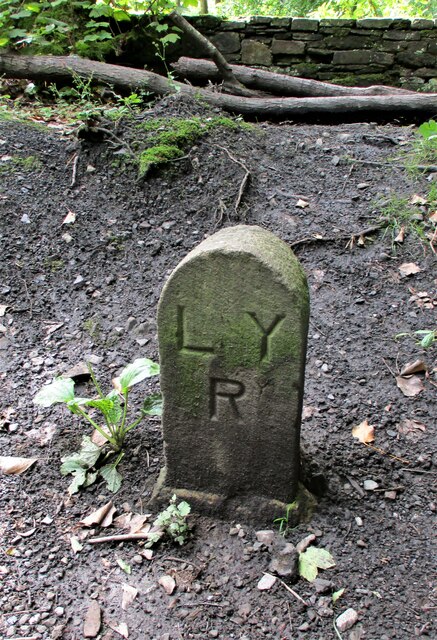
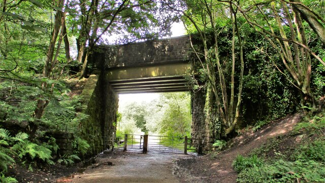
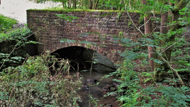
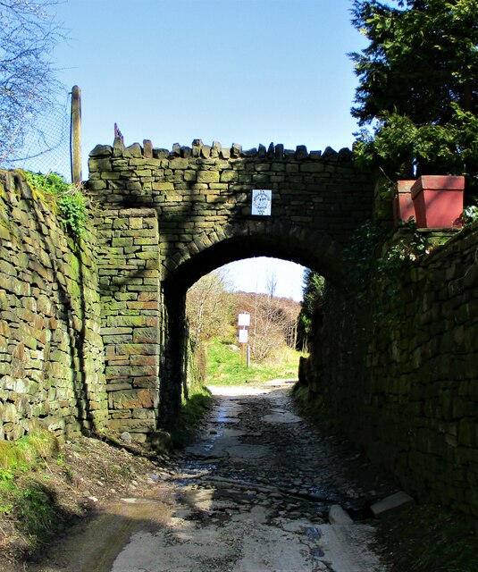
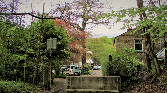
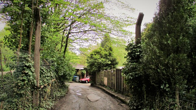
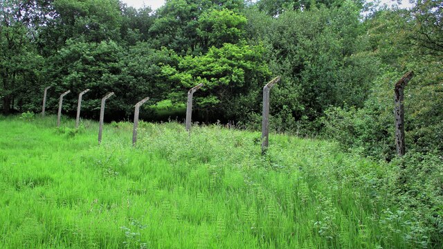
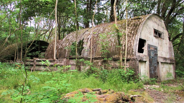
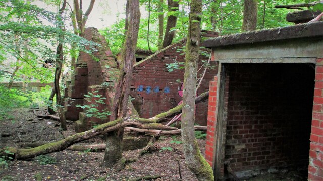
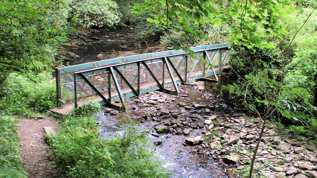
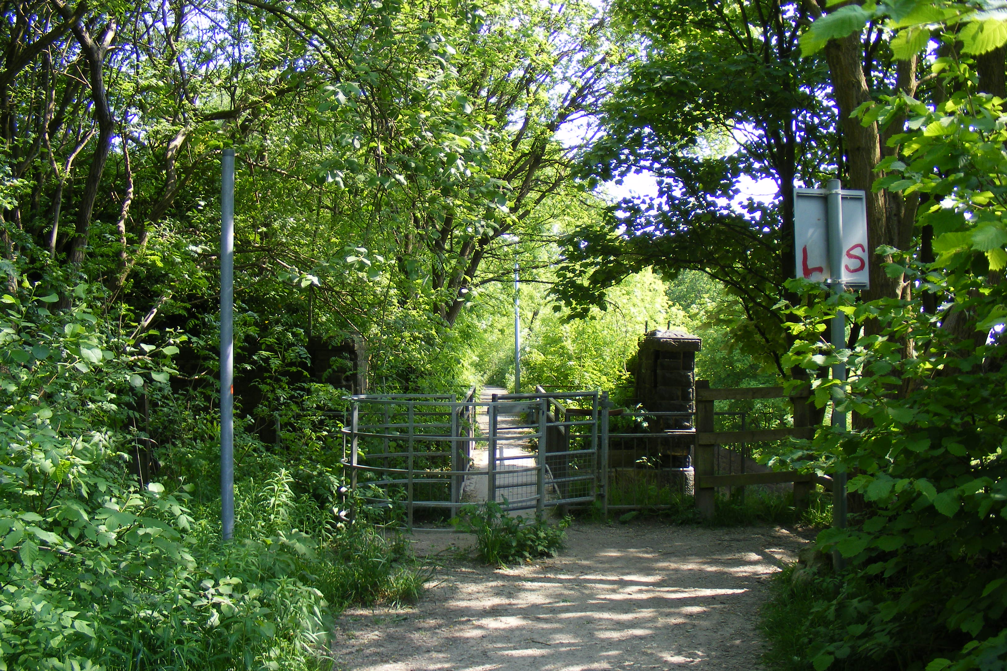
Caldershaw Images
Images are sourced within 2km of 53.628232/-2.1852 or Grid Reference SD8714. Thanks to Geograph Open Source API. All images are credited.
Caldershaw is located at Grid Ref: SD8714 (Lat: 53.628232, Lng: -2.1852)
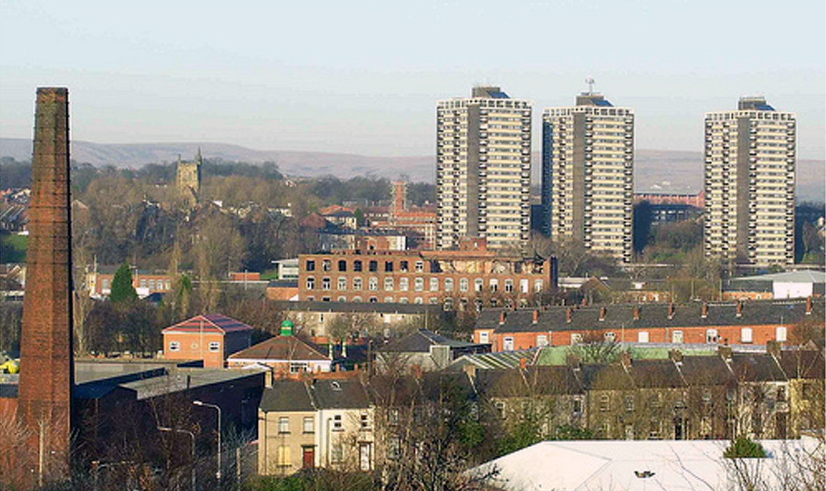
Unitary Authority: Rochdale
Police Authority: Greater Manchester
What 3 Words
///scared.seats.level. Near Rochdale, Manchester
Nearby Locations
Related Wikis
Shawclough and Healey railway station
Shawclough & Healey railway station served the townships of Shawclough and Healey in Rochdale, in the Metropolitan Borough of Rochdale in Greater Manchester...

Shawclough
Shawclough is a mainly residential area north of Rochdale, Greater Manchester, England. Its boundaries are roughly Whitworth Road, Shawclough Road, and...
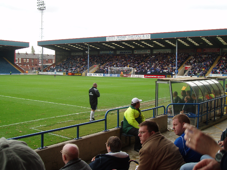
Spotland Stadium
Spotland Stadium, known as the Crown Oil Arena for sponsorship reasons, is a multi-purpose sports stadium in the Spotland area of Rochdale, Greater Manchester...

Falinge Park High School
Falinge Park High School is an 11–16 mixed comprehensive school in Shawclough area of the Metropolitan Borough of Rochdale in Greater Manchester, United...
Oulder Hill Leadership Academy
Oulder Hill Leadership Academy (formerly Oulder Hill Community School) is a co-educational secondary school for 11- to 16-year-olds, located in Rochdale...
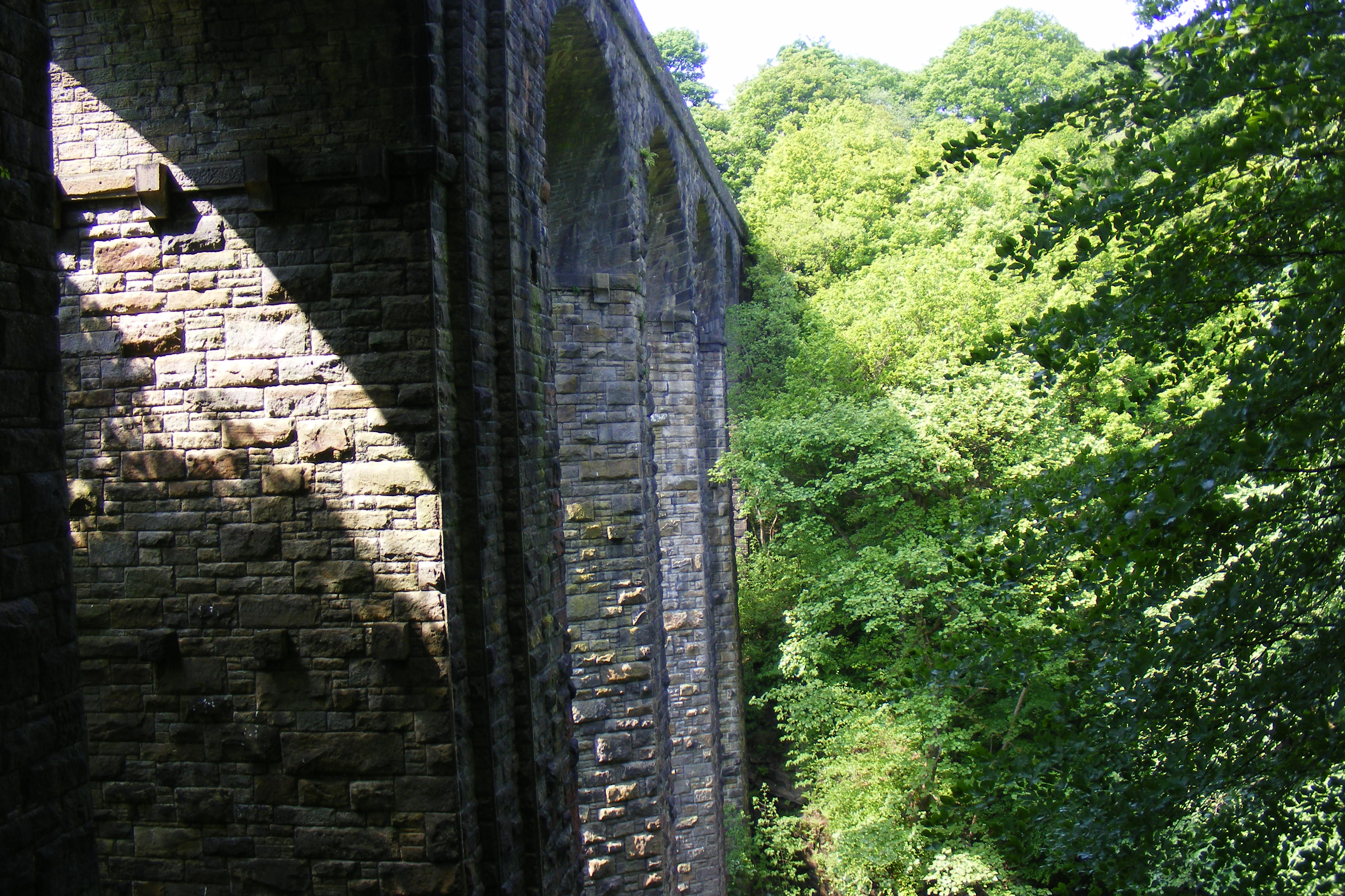
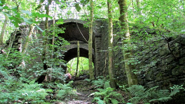
Healey Dell Viaduct
Healey Dell Viaduct is a viaduct situated in Healey Dell Nature Reserve in the Spodden Valley, on the outskirts of Rochdale in Greater Manchester, England...
Spotland
Spotland ( SPOT-land) is a district of Rochdale in Greater Manchester, England. The Rochdale ward name is Spotland and Falinge. The population of this...

Falinge Park
Falinge Park is a Grade II listed public park located in Rochdale, Greater Manchester. Opened to the public in 1906, it lies in the historic grounds of...
Nearby Amenities
Located within 500m of 53.628232,-2.1852Have you been to Caldershaw?
Leave your review of Caldershaw below (or comments, questions and feedback).