Glebe Wood

Wood, Forest in Monmouthshire

Wales

Glebe Wood

Earthen field on north side of B4521 Presumably both fields in view have crops planted; they're on the north side of the B4521 west of Skenfrith.
Earthen field on north side of B4521 Credit: Trevor Littlewood

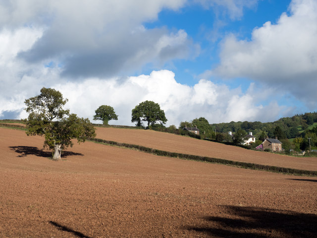
Glebe Wood, located in Monmouthshire, is a picturesque woodland area that covers an expansive area of land. It is known for its diverse range of flora and fauna, making it a popular destination for nature enthusiasts and hikers.

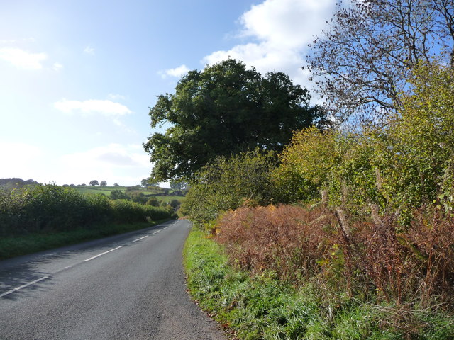
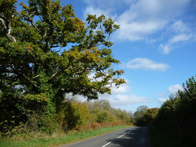
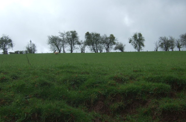
The wood is characterized by its dense canopy of trees, consisting of both hardwood and coniferous species. Oak, beech, and ash trees dominate the woodland, providing a rich and varied habitat for a wide array of wildlife. The forest floor is carpeted with an assortment of wildflowers, ferns, and mosses, creating a vibrant and colorful environment.

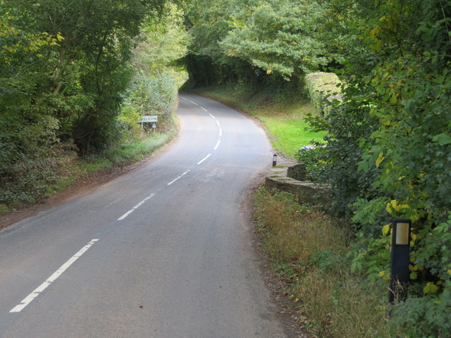
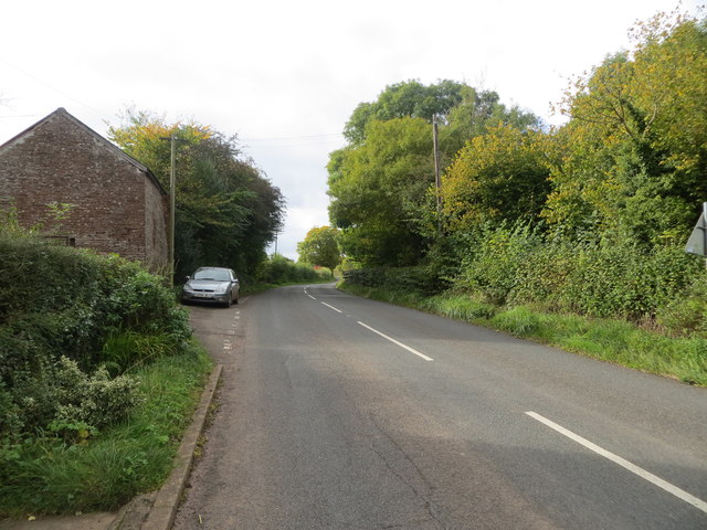
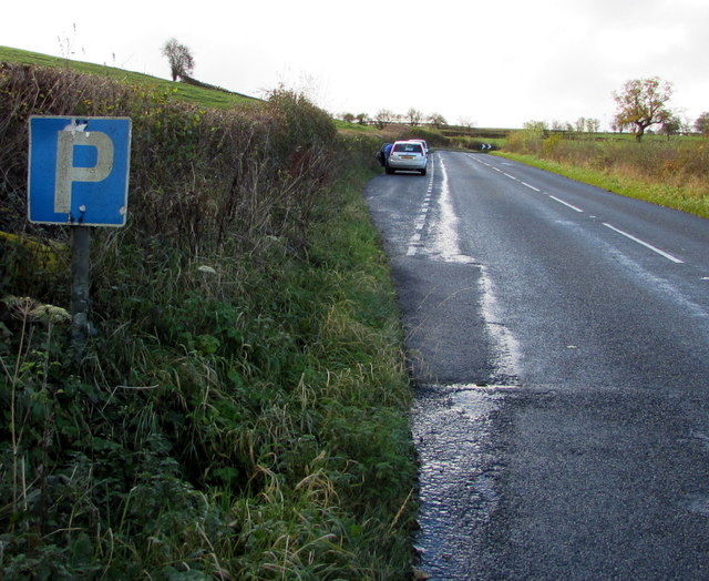
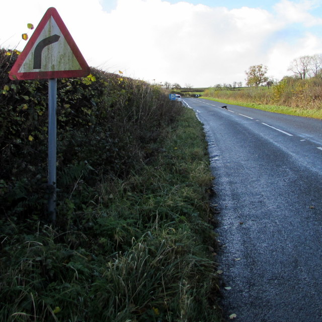
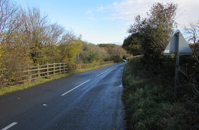
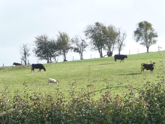
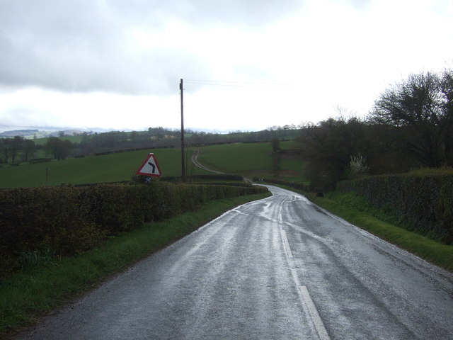
Several walking trails wind their way through Glebe Wood, offering visitors the opportunity to explore the natural beauty of the area. These trails vary in difficulty, catering to both casual strollers and experienced hikers. Along the routes, visitors may encounter wildlife such as deer, foxes, and a variety of bird species.

Glebe Wood is also home to a number of historical features. The remains of an Iron Age hillfort can be found within the woodland, serving as a reminder of its ancient past. Additionally, there are several old stone quarries that were once used for building materials.

Overall, Glebe Wood in Monmouthshire is a captivating destination for those seeking tranquility and natural beauty. Its diverse ecosystem, scenic walking trails, and historical features make it a must-visit location for nature lovers and history enthusiasts alike.

If you have any feedback on the listing, please let us know in the comments section below.

Glebe Wood Images

Images are sourced within 2km of 51.882047/-2.8224015 or Grid Reference SO4320. Thanks to Geograph Open Source API. All images are credited.

Earthen field on north side of B4521 Presumably both fields in view have crops planted; they're on the north side of the B4521 west of Skenfrith.
Earthen field on north side of B4521
Presumably both fields in view have crops planted; they're on the north side of the B4521 west of Skenfrith.
Road (B4521) and Bridge at Walson Looking north-eastward.
Road (B4521) and Bridge at Walson
Looking north-eastward.
Ordnance Survey Flush Bracket 790 This can be found on the wall of a building at Cherry Tree Farm.
For more detail see : <span class="nowrap"><a title="http://www.bench-marks.org.uk/bm9735" rel="nofollow ugc noopener" href="http://www.bench-marks.org.uk/bm9735">Link</a><img style="margin-left:2px;" alt="External link" title="External link - shift click to open in new window" src="https://s1.geograph.org.uk/img/external.png" width="10" height="10"/></span>
Ordnance Survey Flush Bracket 790
This can be found on the wall of a building at Cherry Tree Farm. For more detail see : LinkExternal link
Road (B4521) at Cherrytree Farm Looking westward.
Road (B4521) at Cherrytree Farm
Looking westward.
Ordnance Survey Flush Bracket 791 This can be found on the wall of a building at Trabella Farm.
For more detail see : <span class="nowrap"><a title="http://www.bench-marks.org.uk/bm9736" rel="nofollow ugc noopener" href="http://www.bench-marks.org.uk/bm9736">Link</a><img style="margin-left:2px;" alt="External link" title="External link - shift click to open in new window" src="https://s1.geograph.org.uk/img/external.png" width="10" height="10"/></span>
Ordnance Survey Flush Bracket 791
This can be found on the wall of a building at Trabella Farm. For more detail see : LinkExternal link
Road (B4521) at the entrance to Trabella Farm Looking south-eastward.
Road (B4521) at the entrance to Trabella Farm
Looking south-eastward.
Layby alongside the B4521 in rural north Monmouthshire Extending for 90 metres along the edge of the B4521. 
The location is about midway between Cross Ash and Walson.
Layby alongside the B4521 in rural north Monmouthshire
Extending for 90 metres along the edge of the B4521. The location is about midway between Cross Ash and Walson.
Towards a bend in the B4521 in rural north Monmouthshire Viewed from the edge of this <a title="https://www.geograph.org.uk/photo/5601089" href="https://www.geograph.org.uk/photo/5601089">Link</a> layby. The location is about midway between Cross Ash and Walson.
Towards a bend in the B4521 in rural north Monmouthshire
Viewed from the edge of this Link layby. The location is about midway between Cross Ash and Walson.
P is for Parking, B4521, northern Monmouthshire On the approach to this <a title="https://www.geograph.org.uk/photo/5601089" href="https://www.geograph.org.uk/photo/5601089">Link</a> 90 metre long layby about midway between Cross Ash and Walson.
P is for Parking, B4521, northern Monmouthshire
On the approach to this Link 90 metre long layby about midway between Cross Ash and Walson.
Warning sign - bend to the right ahead, rural north Monmouthshire Facing the B4521 on the approach to this <a title="https://www.geograph.org.uk/photo/5601096" href="https://www.geograph.org.uk/photo/5601096">Link</a> bend  about midway between Cross Ash and Walson.
Warning sign - bend to the right ahead, rural north Monmouthshire
Facing the B4521 on the approach to this Link bend about midway between Cross Ash and Walson.
B4521 towards Walson East along the B4521 towards Walson, a hamlet in rural north Monmouthshire.
B4521 towards Walson
East along the B4521 towards Walson, a hamlet in rural north Monmouthshire.
B4521 heading west to Cross Ash Seen from a 91 metre spot height.
B4521 heading west to Cross Ash
Seen from a 91 metre spot height.
Oak tree alongside the B4521, east of Cherrytree Farm The road is heading north-east to Skenfrith.
Oak tree alongside the B4521, east of Cherrytree Farm
The road is heading north-east to Skenfrith.
Cattle and sheep, east of Cherrytree Farm Grazing above the B4521.
Cattle and sheep, east of Cherrytree Farm
Grazing above the B4521.
Grazing near Trebella
Trebella Farm On the B4521.
Trebella Farm
On the B4521.
Bend in the B4521 towards Skenfrith Looking south east.
Bend in the B4521 towards Skenfrith
Looking south east.
Grazing near Cherrytree Farm Looking up from the B4521.
Grazing near Cherrytree Farm
Looking up from the B4521.
Show me another place!

Glebe Wood is located at Grid Ref: SO4320 (Lat: 51.882047, Lng: -2.8224015)

Unitary Authority: Monmouthshire

Police Authority: Gwent

What 3 Words

///providing.forced.penny. Near Llanrothal, Herefordshire

Nearby Locations

Walson Glebe Wood

Related Wikis

Norton Court, Skenfrith

Norton Court, Norton Brook, Skenfrith, Monmouthshire is a country house dating from c.1600. Its origins are older, beginning with its ownership by the...

Lower Dyffryn House, Grosmont

Lower Dyffryn House, Grosmont, Monmouthshire is a farmhouse dating from the 16th century. Owned by a Sheriff of Monmouthshire in the early 1600s, it was...

Crossway, Monmouthshire

Crossway (the form used by the Ordnance Survey) or Crossways (the form preferred by most residents) is a hamlet near the village of Newcastle in north...

St Bridget's Church, Skenfrith

The Church of St Bridget (or St Bride) lies at the north end of the village of Skenfrith, Monmouthshire, Wales. It is an active parish church and a Grade...
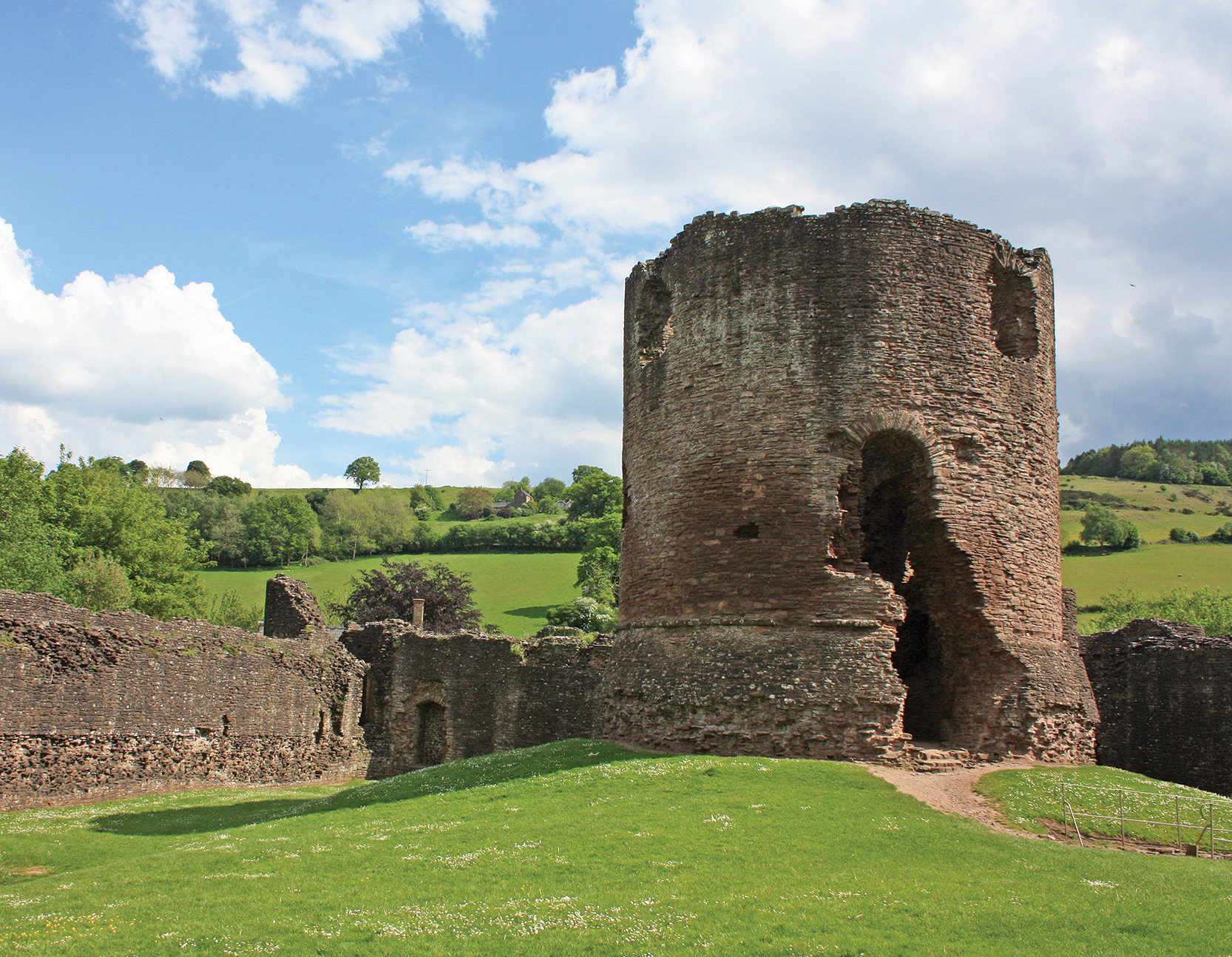
Skenfrith Castle

Skenfrith Castle (Welsh: Castell Ynysgynwraidd) is a ruined castle in the village of Skenfrith in Monmouthshire, Wales. The fortification was established...

Hilston Park

Hilston Park is a country house and estate between the villages of Newcastle and Skenfrith in Monmouthshire, Wales, close to the border with Herefordshire...

Skenfrith

Skenfrith (Welsh: Ynysgynwraidd) is a small village in Monmouthshire, south-east Wales. It is located on the River Monnow, close to the border between...

Archenfield

Archenfield (Old English: Ircingafeld, Middle English: "Irchenfield") is the historic English name for an area of southern and western Herefordshire in...

Nearby Amenities

Located within 500m of 51.882047,-2.8224015
Power: pole
Lat/Long: 51.8829188/-2.8159827
Power: pole
Lat/Long: 51.8834836/-2.8169328
Power: pole
Lat/Long: 51.8840513/-2.8176178
Power: pole
Lat/Long: 51.8846248/-2.8183113
Power: pole
Lat/Long: 51.885213/-2.8190258
Power: pole
Lat/Long: 51.8857994/-2.8195816
Place: farm
Lat/Long: 51.8840996/-2.8212426
Direction: SW
Generator Method: photovoltaic
Generator Output Electricity: yes
Generator Solar Modules: 16
Generator Source: solar
Generator Type: solar_photovoltaic_panel
Location: roof
Power: generator
Lat/Long: 51.8847282/-2.8211025
The data included in this document is from www.openstreetmap.org. The data is made available under ODbL.

Have you been to Glebe Wood?

Leave your review of Glebe Wood below (or comments, questions and feedback).