Caldermill
Settlement in Lanarkshire
Scotland
Caldermill

Caldermill is a small village located in the South Lanarkshire council area of Scotland. Situated about 20 miles southeast of Glasgow, it lies on the banks of the River Calder. The village is part of a rural community and is surrounded by picturesque countryside, offering a tranquil and scenic environment.
Historically, Caldermill was primarily an agricultural community, with farming playing a significant role in the local economy. Over the years, the village has retained its rural character, with a few farmhouses and fields dotting the landscape. The village is also known for its beautiful landscapes, with hills and forests nearby, making it a popular destination for outdoor enthusiasts.
Despite its small size, Caldermill has a close-knit community that takes pride in its village. There is a community hall that serves as a hub for various social events and gatherings, fostering a sense of unity among the residents. Additionally, the village has a primary school, providing education for the local children.
Being in close proximity to larger towns and cities, Caldermill benefits from easy access to amenities and services. The nearby town of Strathaven offers shopping facilities, healthcare services, and other conveniences. Additionally, the village is well-connected by road networks, making it accessible to commuters and visitors.
In summary, Caldermill is a charming village in the heart of Lanarkshire, characterized by its rural setting, close community ties, and beautiful natural surroundings. It provides a peaceful and idyllic lifestyle, while also enjoying the advantages of being near larger urban areas.
If you have any feedback on the listing, please let us know in the comments section below.
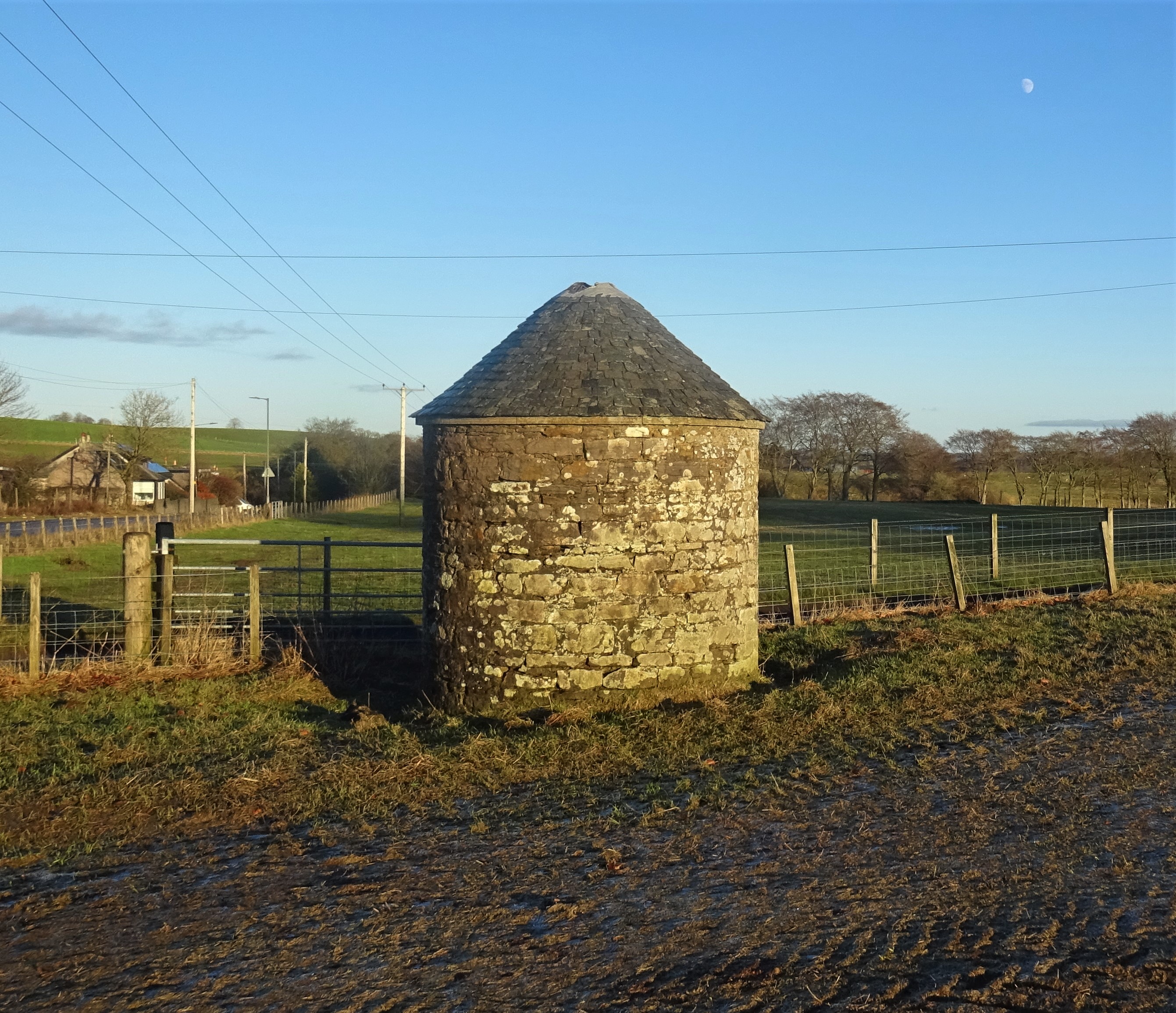
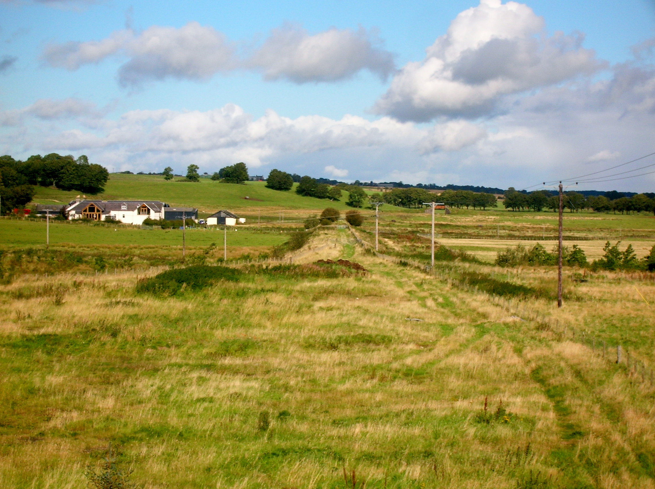
Caldermill Images
Images are sourced within 2km of 55.651582/-4.127818 or Grid Reference NS6641. Thanks to Geograph Open Source API. All images are credited.


Caldermill is located at Grid Ref: NS6641 (Lat: 55.651582, Lng: -4.127818)
Unitary Authority: South Lanarkshire
Police Authority: Lanarkshire
What 3 Words
///beaten.civic.describes. Near Strathaven, South Lanarkshire
Nearby Locations
Related Wikis

Trumpeter's Well
The Trumpeter's Well at Caldermill in South Lanarkshire is recorded as the site of the death of a government trumpeter or cornet who was killed in the...
Caldermill
Caldermill is a small settlement in South Lanarkshire, Scotland. Caldermill is 3 miles (5 km) south-west of Strathaven, and is the next settlement a driver...
Ryeland railway station
Ryeland (NS 65545 40364) was a railway station on the Darvel and Strathaven Railway serving Caldermill and the surrounding rural area in South Lanarkshire...

Drumclog
Drumclog is a small village in South Lanarkshire, Parish of Avendale and Drumclog, Scotland. The habitation is situated on the A71, between Caldermill...

Drumclog railway station
Drumclog (NS 63889 38645) was a railway station on the Darvel and Strathaven Railway serving a rural area that included the village of Drumclog in South...

Battle of Drumclog
The Battle of Drumclog was fought on 1 June 1679, between a group of Covenanters and the forces of John Graham of Claverhouse, at Drumclog, in South Lanarkshire...
Drumclog Moss
Drumclog Moss is a flat wilderness of broken bog and quagmire in Lanarkshire, Scotland. The Covenanters defeated Claverhouse's dragoons at the site in...
Strathaven Academy
Strathaven Academy is a non-denominational secondary school in Strathaven, South Lanarkshire, Scotland. == History == In 1902, Avondale School Board decided...
Nearby Amenities
Located within 500m of 55.651582,-4.127818Have you been to Caldermill?
Leave your review of Caldermill below (or comments, questions and feedback).