Gwynt Wood
Wood, Forest in Flintshire
Wales
Gwynt Wood
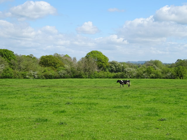
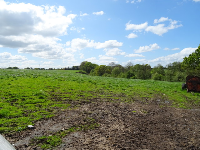
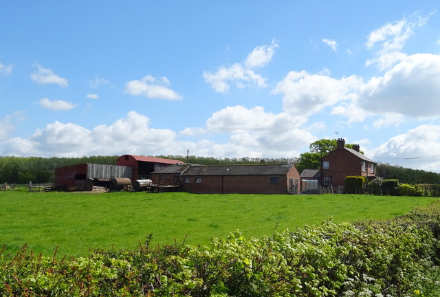
Gwynt Wood is a picturesque forest located in Flintshire, Wales. Covering an area of approximately 100 acres, this woodland is a haven for nature lovers and outdoor enthusiasts alike. The forest is situated near the village of Gwernymynydd, providing easy access for visitors from both nearby towns and further afield.
The wood is predominantly composed of broadleaf trees, such as oak, ash, and beech, which creates a rich and diverse ecosystem. This variety of tree species allows for a vibrant display of colors during the autumn months, attracting photographers and hikers keen to witness the stunning foliage. Additionally, the woodland is home to a wide range of wildlife, including birds, small mammals, and insects, making it a popular destination for birdwatchers and nature photographers.
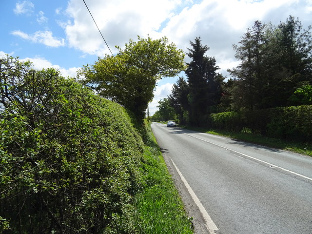
Gwynt Wood offers an extensive network of well-maintained footpaths, enabling visitors to explore the forest at their leisure. These paths meander through the trees, leading to hidden glades and tranquil ponds. The forest also boasts a number of picnic areas, providing a perfect setting for a leisurely lunch amidst the peaceful surroundings.
Throughout the year, Gwynt Wood hosts various events and activities, including guided walks, wildlife spotting sessions, and educational programs for both children and adults. These initiatives aim to promote a greater understanding and appreciation of the natural environment, encouraging visitors to engage with the woodland's flora and fauna.
Overall, Gwynt Wood in Flintshire is a magnificent forest that offers a serene atmosphere and an abundance of natural beauty. Whether it's a leisurely stroll, a family picnic, or a wildlife adventure, this woodland is a must-visit destination for nature enthusiasts of all ages.
If you have any feedback on the listing, please let us know in the comments section below.
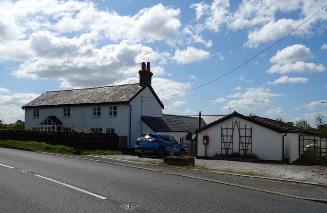
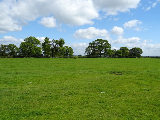
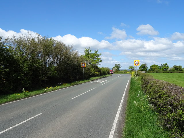
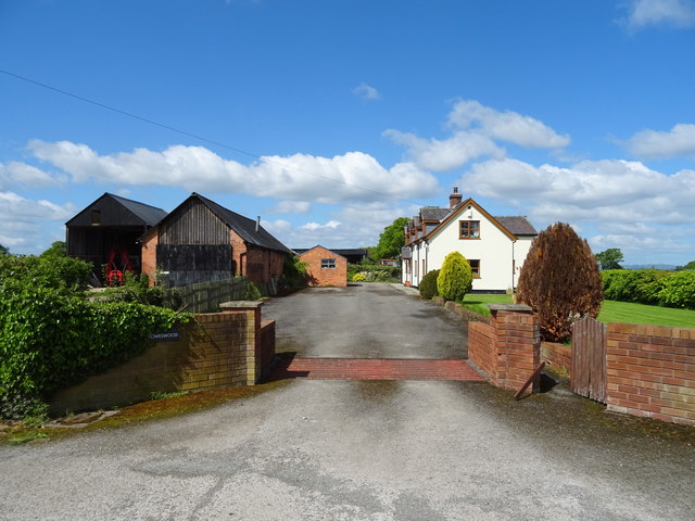
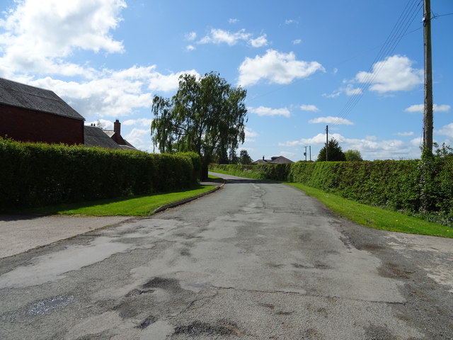
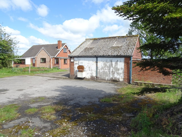
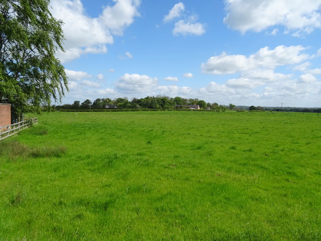
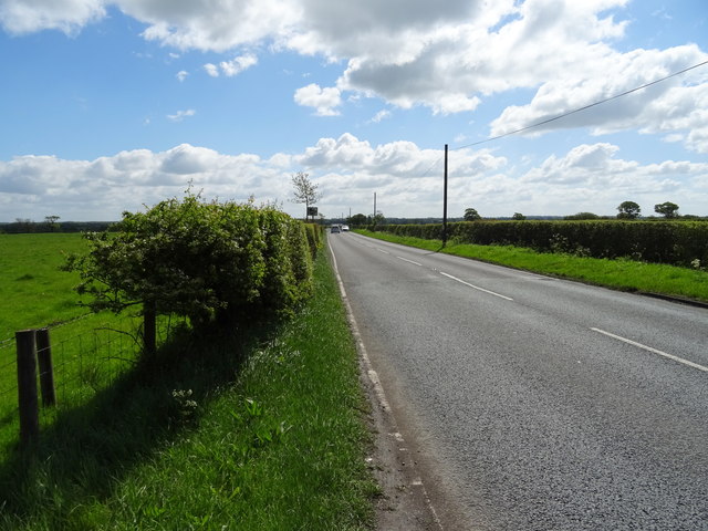
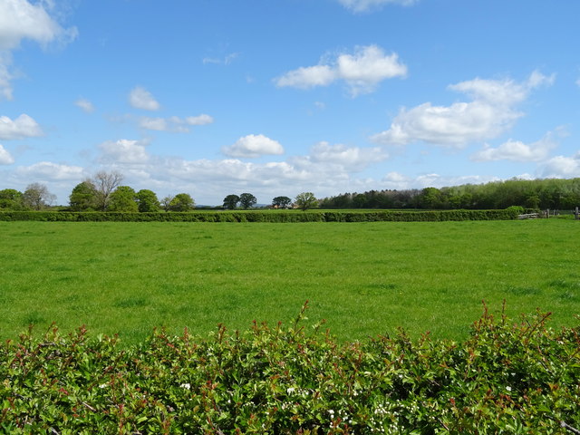
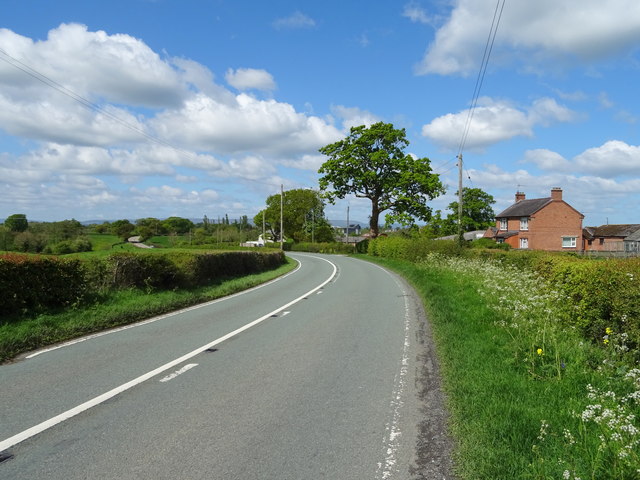
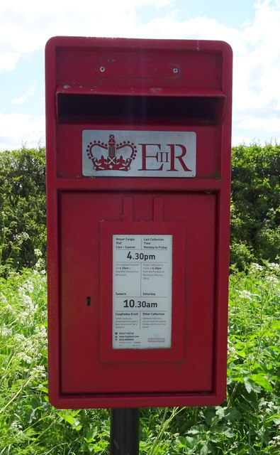
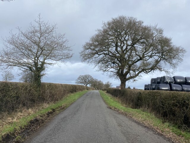
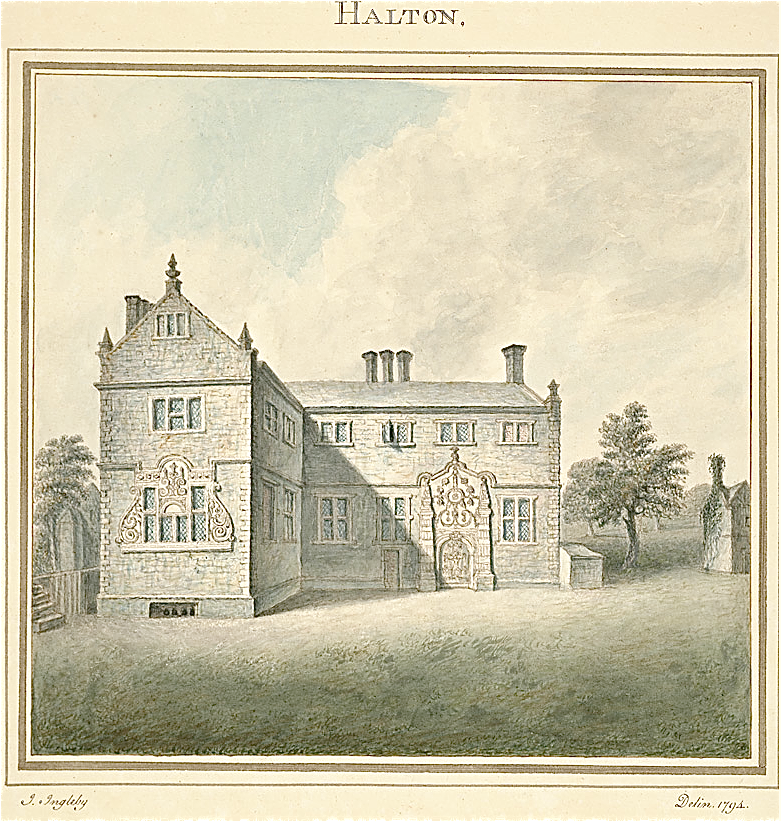
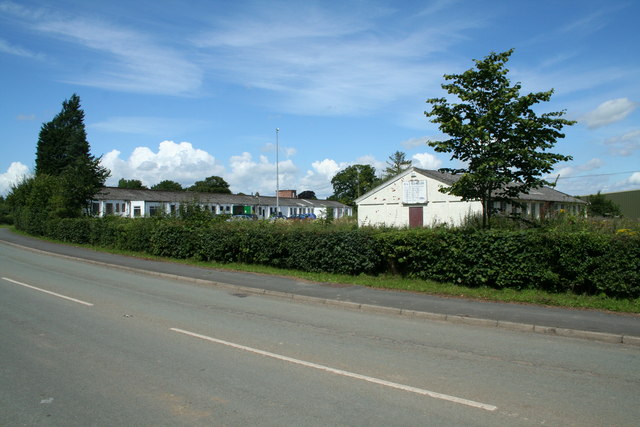
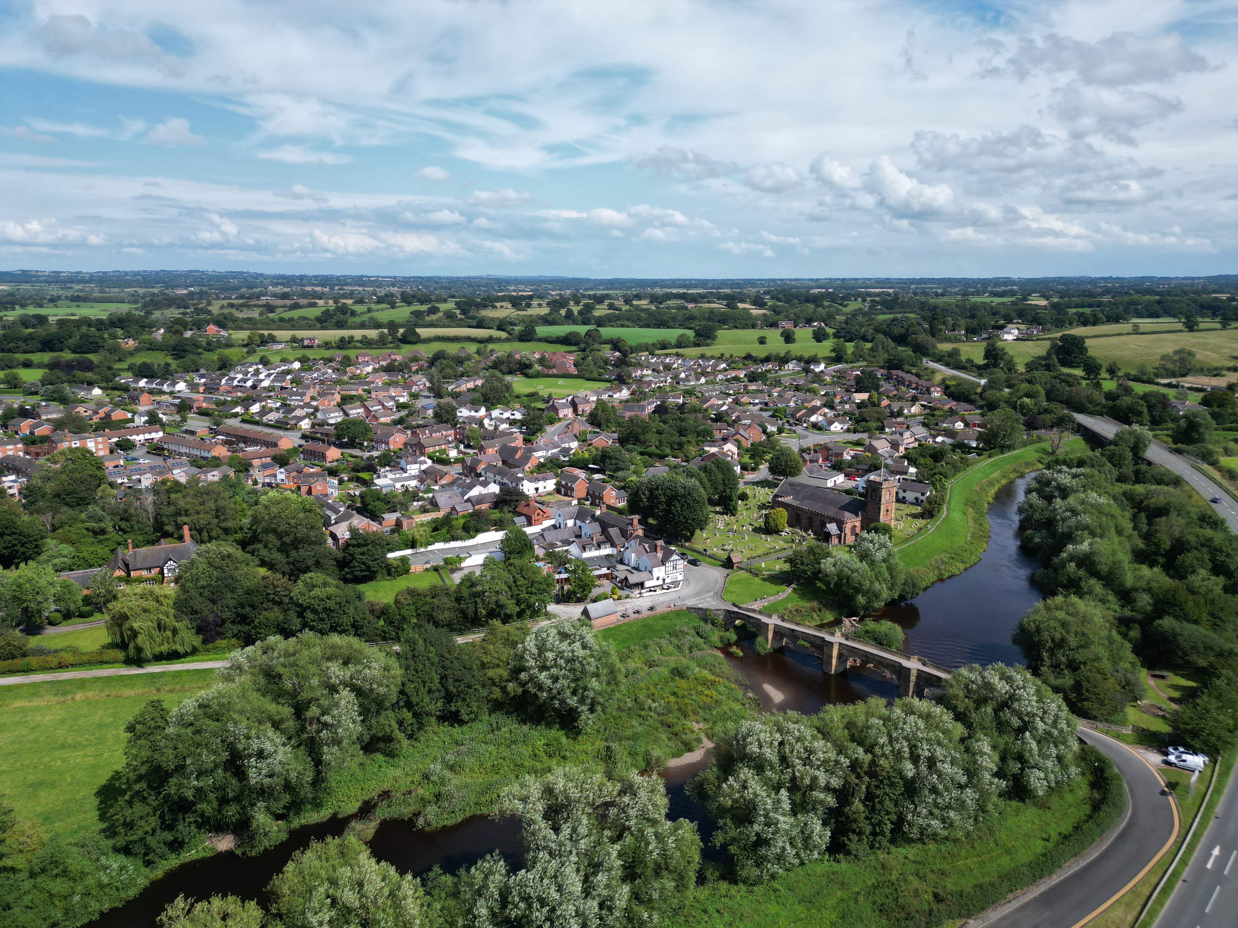
Gwynt Wood Images
Images are sourced within 2km of 52.981654/-2.8791803 or Grid Reference SJ4143. Thanks to Geograph Open Source API. All images are credited.
Gwynt Wood is located at Grid Ref: SJ4143 (Lat: 52.981654, Lng: -2.8791803)
Unitary Authority: Wrexham
Police Authority: North Wales
What 3 Words
///mule.professed.bath. Near Overton, Wrexham
Nearby Locations
Related Wikis

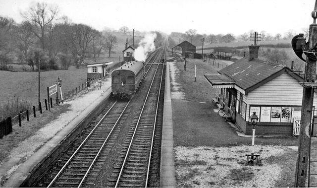
Cloy Halt railway station
Cloy Halt railway station was a station to the east of Overton-on-Dee, Wrexham, Wales. The station was opened on 30 June 1932 and closed on 10 September...
Cloy Brook Pastures
Cloy Brook Pastures is a Site of Special Scientific Interest in the preserved county of Clwyd, north Wales. It is an area of wet pasture managed by grazing...
Bangor-on-Dee railway station
Bangor-on-Dee railway station was a station in Bangor-on-Dee, Wrexham, Wales. The station was opened on 2 November 1895 and closed on 10 September 1962...
Maelor
The Maelor is an area of north-east Wales along the border with England. It is now entirely part of Wrexham County Borough. The name Maelor is an old Welsh...
Halghton
Halghton (Welsh: Halchdyn) is a dispersed settlement and former civil parish in the east of Wrexham County Borough, Wales. It is part of the community...
Penley Community Hospital
Penley Community Hospital (Welsh: Ysbyty Cymuned Llannerch Banna) is a former community hospital dedicated to Polish ex-servicemen in Penley, Wales. It...
Bangor-on-Dee
Bangor-on-Dee (Welsh: Bangor-is-y-coed or standardised Bangor Is-coed) is a village and community in Wrexham County Borough, Wales, on the banks of the...

Willington Worthenbury
Willington Worthenbury (Welsh: Willington Wrddymbre) is a community in Wrexham County Borough, Wales, and is situated near the England–Wales border. It...
Nearby Amenities
Located within 500m of 52.981654,-2.8791803Have you been to Gwynt Wood?
Leave your review of Gwynt Wood below (or comments, questions and feedback).