Halghton
Settlement in Flintshire
Wales
Halghton
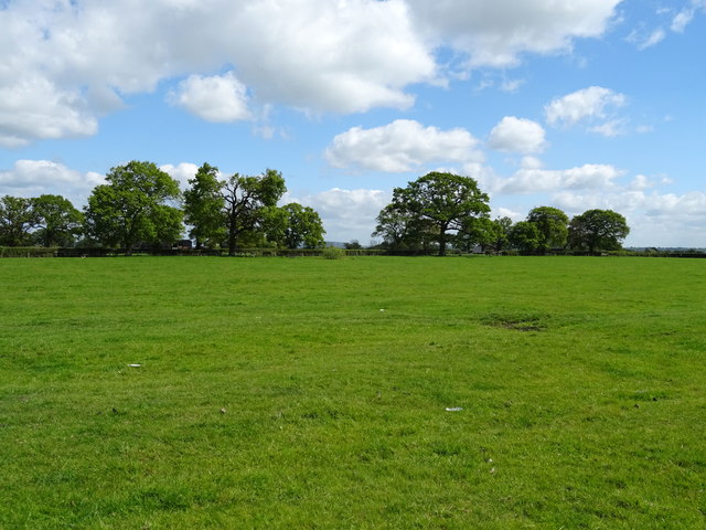
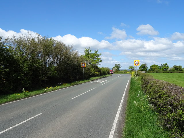
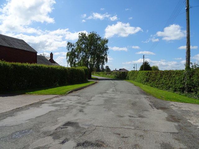
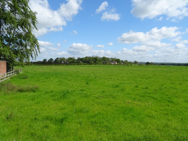
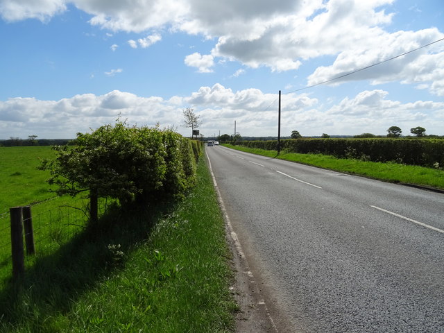
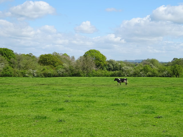
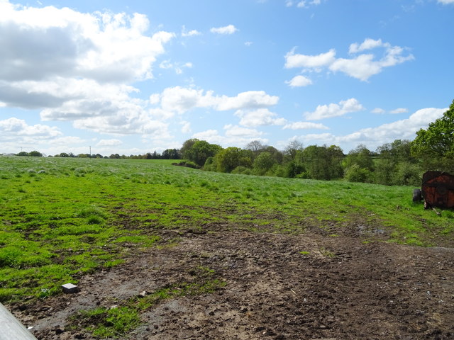
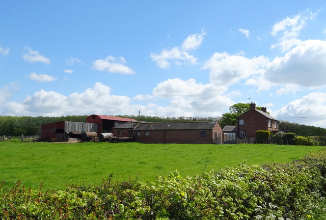
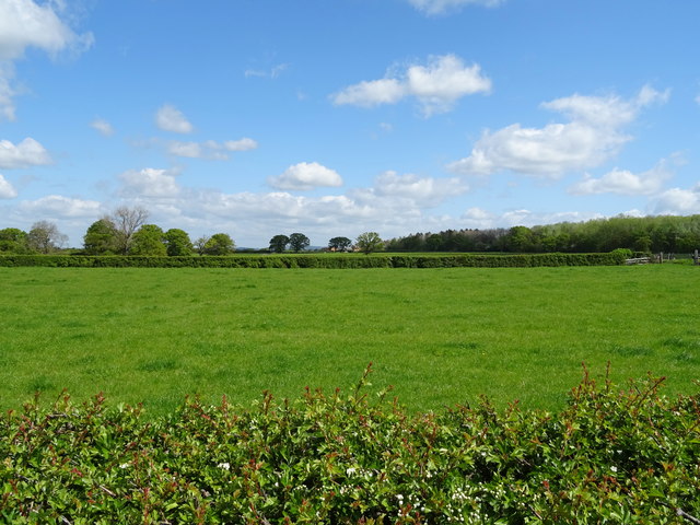
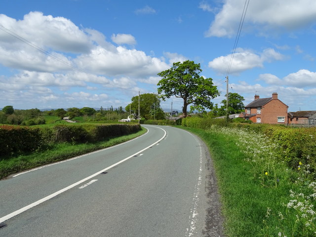
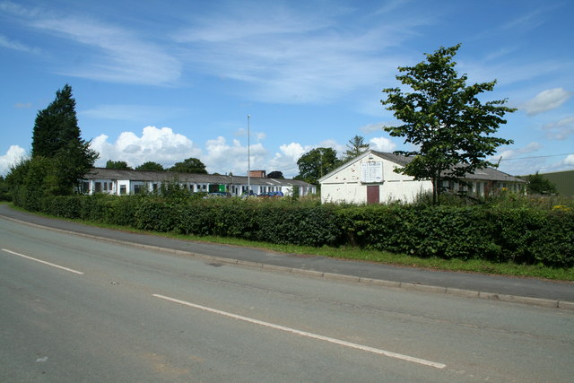
Halghton is a small village located in the county of Flintshire, Wales. Situated in the northeastern part of the country, it lies approximately 8 miles southwest of the town of Mold. The village is set amidst picturesque rural surroundings, with rolling hills and lush green fields dominating the landscape.
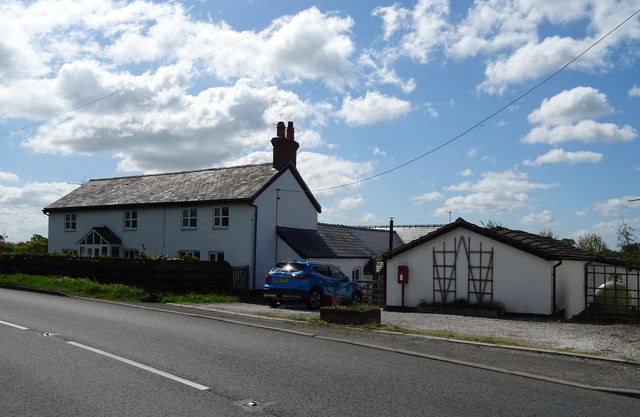
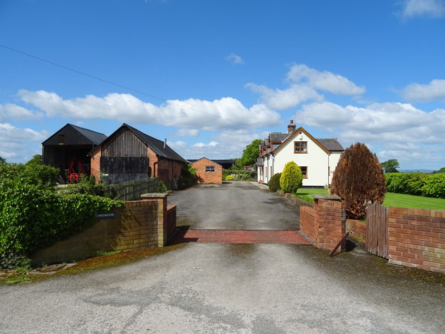
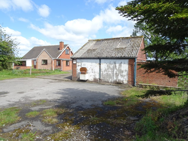
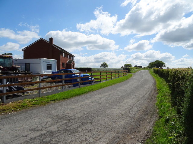
Halghton is a close-knit community, characterized by its peaceful and tranquil atmosphere. The village is home to a relatively small population, mostly consisting of local residents who have a strong sense of community spirit. The architecture of the village reflects its long history, with a variety of traditional Welsh stone houses and cottages dotted throughout the area.
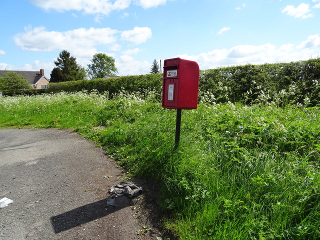
Despite its small size, Halghton offers a range of amenities for its residents. These include a local pub, a primary school, and a village hall, which serves as a social hub for various community gatherings and events. The village also benefits from its proximity to larger towns, providing easy access to a wider range of services and facilities.
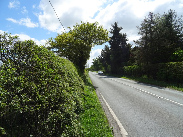
The surrounding countryside offers numerous opportunities for outdoor activities, including walking, hiking, and cycling. Halghton is well-connected to a network of footpaths and trails, allowing residents and visitors to explore the natural beauty of the area. Additionally, the nearby River Alyn provides opportunities for fishing and picnicking.
Overall, Halghton exudes a peaceful charm and offers a tight-knit community spirit, making it an attractive place to live for those seeking a tranquil rural lifestyle in the heart of Flintshire.
If you have any feedback on the listing, please let us know in the comments section below.
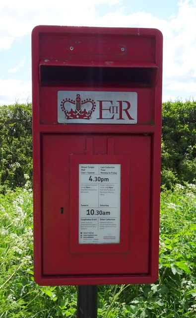
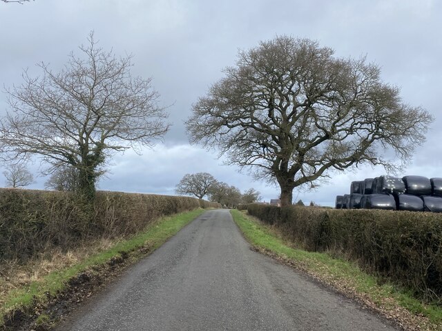
Halghton Images
Images are sourced within 2km of 52.98108/-2.8801963 or Grid Reference SJ4143. Thanks to Geograph Open Source API. All images are credited.
Halghton is located at Grid Ref: SJ4143 (Lat: 52.98108, Lng: -2.8801963)
Unitary Authority: Wrexham
Police Authority: North Wales
Also known as: Halchdyn
What 3 Words
///dwell.scribble.passenger. Near Overton, Wrexham
Nearby Locations
Related Wikis

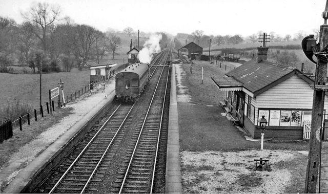
Cloy Halt railway station
Cloy Halt railway station was a station to the east of Overton-on-Dee, Wrexham, Wales. The station was opened on 30 June 1932 and closed on 10 September...
Cloy Brook Pastures
Cloy Brook Pastures is a Site of Special Scientific Interest in the preserved county of Clwyd, north Wales. It is an area of wet pasture managed by grazing...
Bangor-on-Dee railway station
Bangor-on-Dee railway station was a station in Bangor-on-Dee, Wrexham, Wales. The station was opened on 2 November 1895 and closed on 10 September 1962...
Maelor
The Maelor is an area of north-east Wales along the border with England. It is now entirely part of Wrexham County Borough. The name Maelor is an old Welsh...
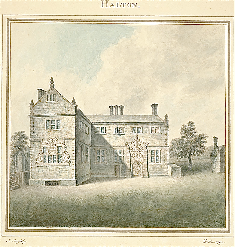
Halghton
Halghton (Welsh: Halchdyn) is a dispersed settlement and former civil parish in the east of Wrexham County Borough, Wales. It is part of the community...
Penley Community Hospital
Penley Community Hospital (Welsh: Ysbyty Cymuned Llannerch Banna) is a former community hospital dedicated to Polish ex-servicemen in Penley, Wales. It...
Overton-on-Dee railway station
Overton-on-Dee railway station was a station to the southeast of Overton-on-Dee, Wrexham, Wales at Lightwood Green. The station was opened on 2 November...

Penley
Penley (Welsh: Llannerch Banna) is a village in the County Borough of Wrexham, in Wales close to the border with Shropshire, England, and had a population...
Related Videos
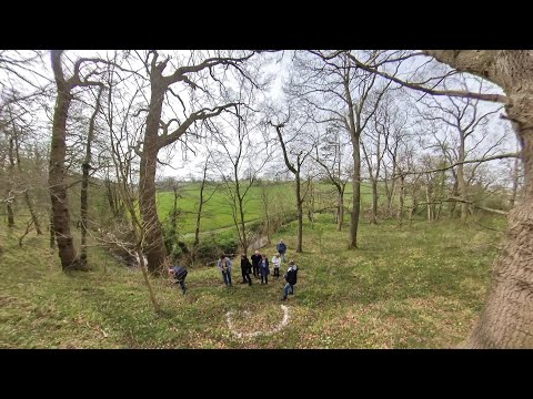
9th April 2023
Kath scattered James's ashes on a beautiful wooded hillside near their home. The Lads and James's sister Rachel plus partners ...
Nearby Amenities
Located within 500m of 52.98108,-2.8801963Have you been to Halghton?
Leave your review of Halghton below (or comments, questions and feedback).