Cae-Drinions Wood
Wood, Forest in Flintshire
Wales
Cae-Drinions Wood
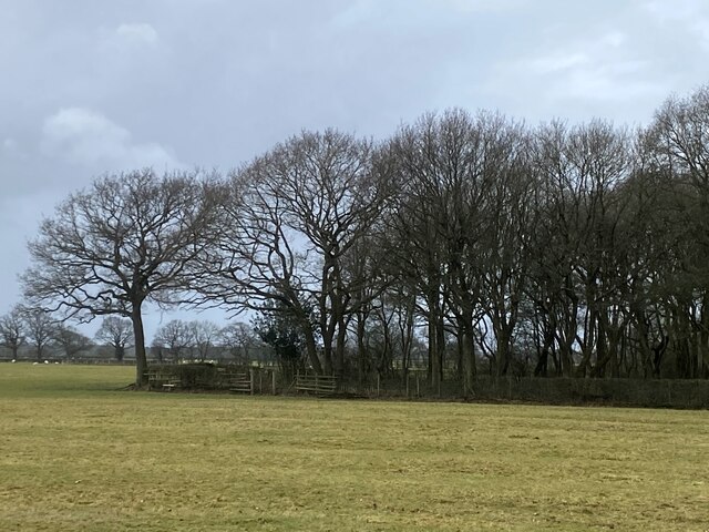
Cae-Drinions Wood is a beautiful forest located in Flintshire, Wales. Covering an area of approximately 50 hectares, the wood is a mix of broadleaf and coniferous trees, creating a diverse and picturesque landscape. The forest is home to a variety of wildlife, including birds, squirrels, and deer, making it a popular spot for nature lovers and birdwatchers.
Visitors to Cae-Drinions Wood can enjoy a network of well-maintained walking trails that meander through the forest, providing opportunities to explore the tranquil surroundings and absorb the natural beauty of the area. The wood is also a designated Site of Special Scientific Interest (SSSI), due to its importance for biodiversity and conservation.
In addition to its natural beauty, Cae-Drinions Wood offers a range of recreational activities, such as picnicking, wildlife spotting, and photography. The forest is a peaceful retreat from the hustle and bustle of urban life, providing a serene setting for visitors to relax and unwind in the great outdoors. Overall, Cae-Drinions Wood is a hidden gem in Flintshire, offering a glimpse into the beauty of the Welsh countryside.
If you have any feedback on the listing, please let us know in the comments section below.
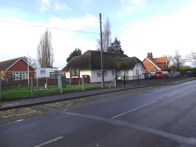
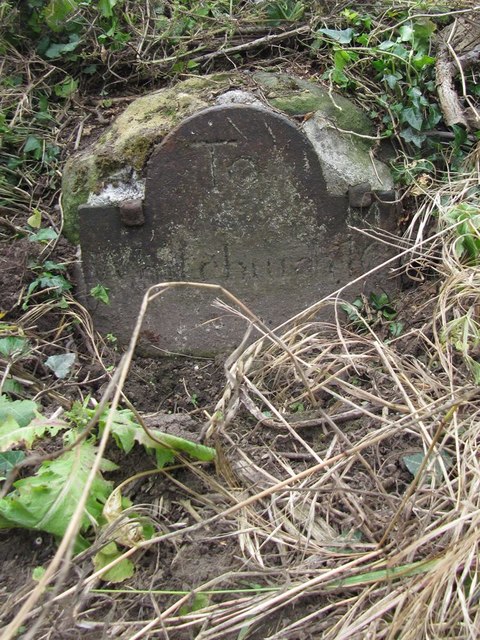
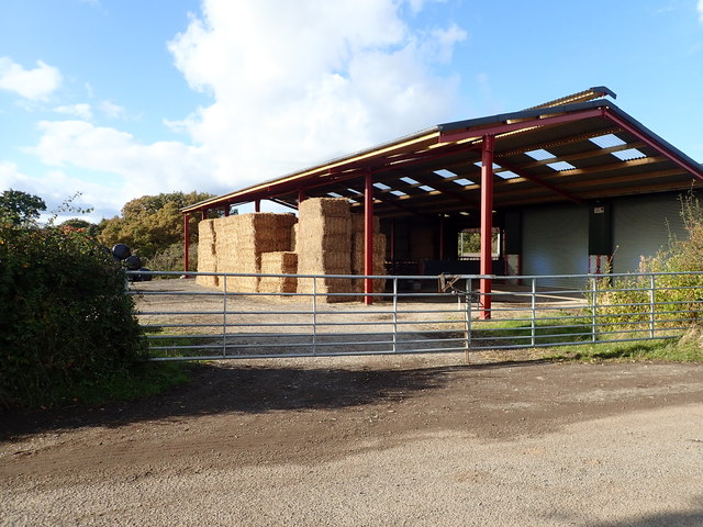
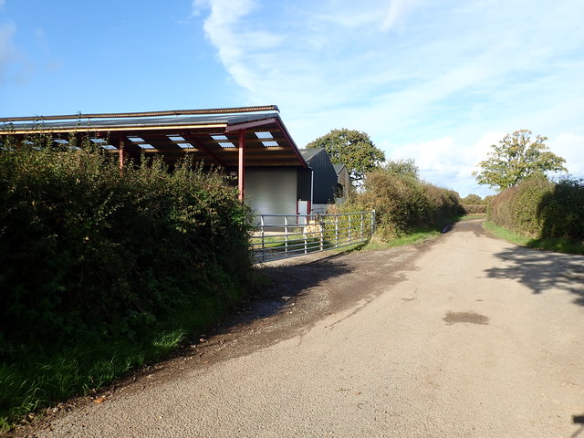
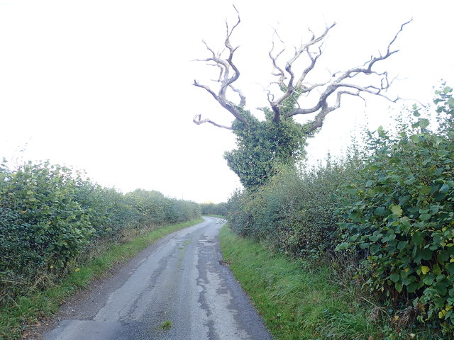
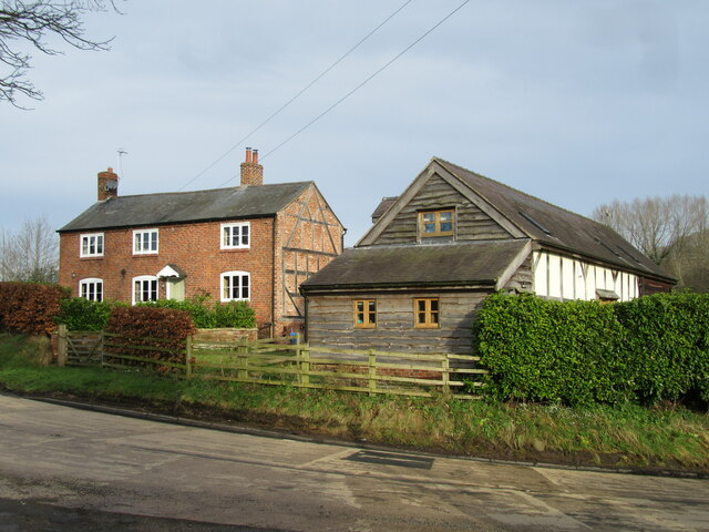
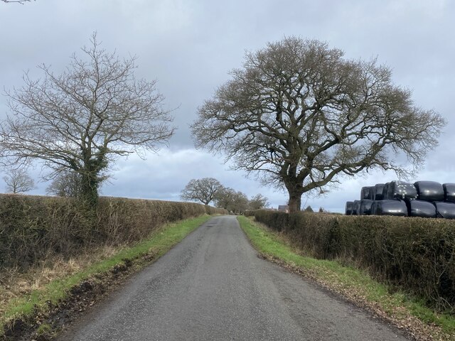
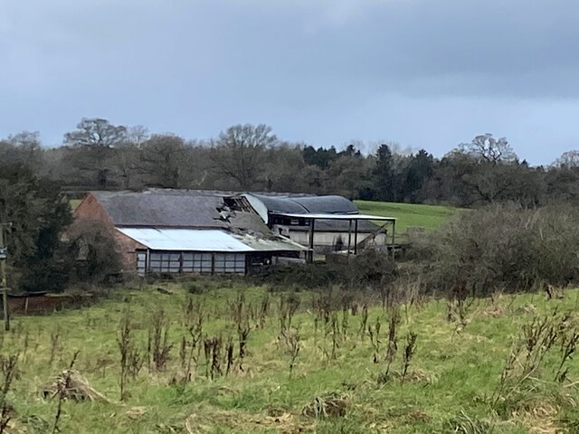
Cae-Drinions Wood Images
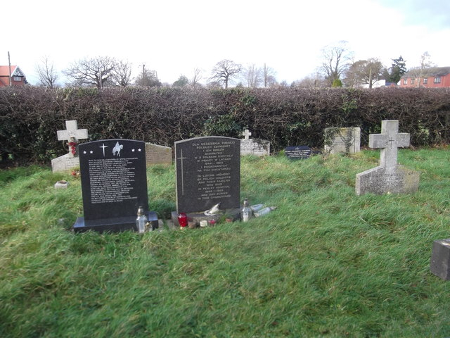
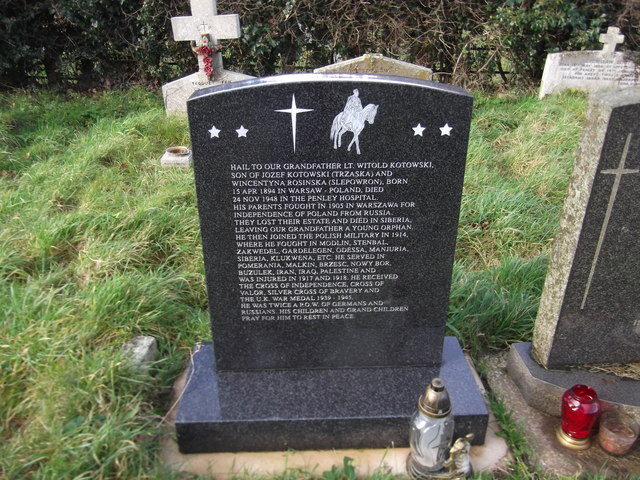
Images are sourced within 2km of 52.965321/-2.8971324 or Grid Reference SJ3941. Thanks to Geograph Open Source API. All images are credited.


Cae-Drinions Wood is located at Grid Ref: SJ3941 (Lat: 52.965321, Lng: -2.8971324)
Unitary Authority: Wrexham
Police Authority: North Wales
What 3 Words
///extent.hounded.drape. Near Overton, Wrexham
Nearby Locations
Related Wikis

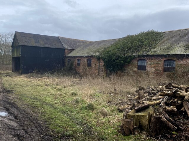
Cloy Halt railway station
Cloy Halt railway station was a station to the east of Overton-on-Dee, Wrexham, Wales. The station was opened on 30 June 1932 and closed on 10 September...
Cloy Brook Pastures
Cloy Brook Pastures is a Site of Special Scientific Interest in the preserved county of Clwyd, north Wales. It is an area of wet pasture managed by grazing...
Overton-on-Dee railway station
Overton-on-Dee railway station was a station to the southeast of Overton-on-Dee, Wrexham, Wales at Lightwood Green. The station was opened on 2 November...
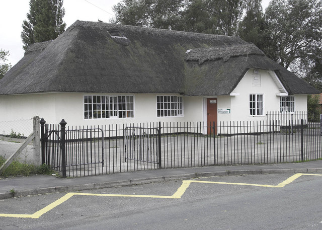
Penley Community Hospital
Penley Community Hospital (Welsh: Ysbyty Cymuned Llannerch Banna) is a former community hospital dedicated to Polish ex-servicemen in Penley, Wales. It...
Nearby Amenities
Located within 500m of 52.965321,-2.8971324Have you been to Cae-Drinions Wood?
Leave your review of Cae-Drinions Wood below (or comments, questions and feedback).