Caerowlin Wood

Wood, Forest in Flintshire

Wales

Caerowlin Wood

Old Milestone by the A359, Overton Road, Penley, Maelor South Parish By the A539, Overton Road, in parish of Maelor South (Wrexham County Borough District), Penley, in verge by fence, South side of road.

Inscription reads:- : To / Whitchurch 10 / (Ruabon 7) :

To be surveyed

Milestone Society National ID: FLT_WTRB06
Old Milestone by the A359, Overton Road, Penley, Maelor South Parish Credit: Milestone Society

Caerowlin Wood is a beautiful woodland area located in Flintshire, Wales. Covering approximately 200 acres, the wood is known for its diverse range of tree species including oak, beech, and holly. The wood is situated on a hillside, providing visitors with stunning views of the surrounding countryside.

Caerowlin Wood is a popular destination for nature enthusiasts, hikers, and birdwatchers. The wood is home to a variety of wildlife, including red squirrels, deer, and a wide range of bird species. Visitors can enjoy peaceful walks along the well-maintained trails, taking in the sights and sounds of the woodland.

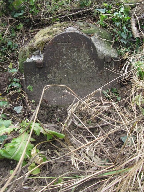
The wood is also steeped in history, with evidence of ancient settlements and industrial activity dating back to the Roman period. Visitors can explore the remains of old mine workings and stone structures scattered throughout the wood, adding an extra layer of interest to their visit.

Overall, Caerowlin Wood offers a tranquil and scenic escape from the hustle and bustle of everyday life, making it a popular destination for those looking to reconnect with nature.

If you have any feedback on the listing, please let us know in the comments section below.

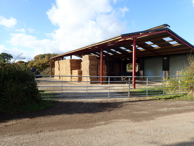
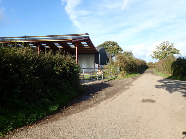
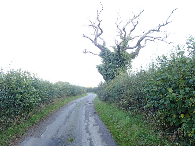
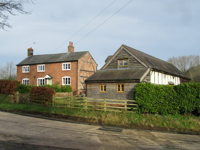
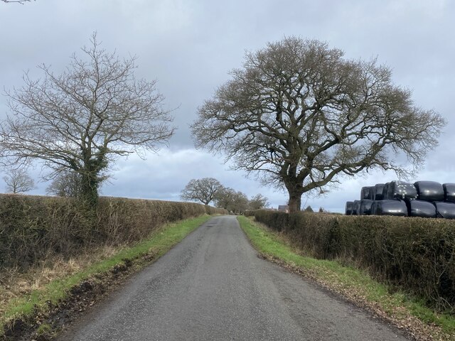
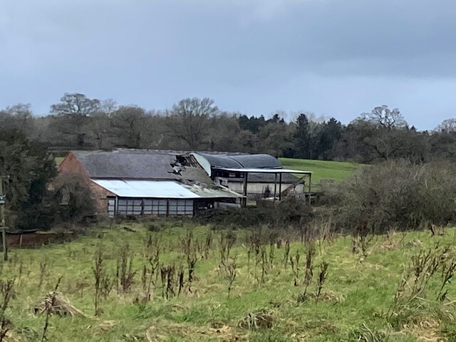
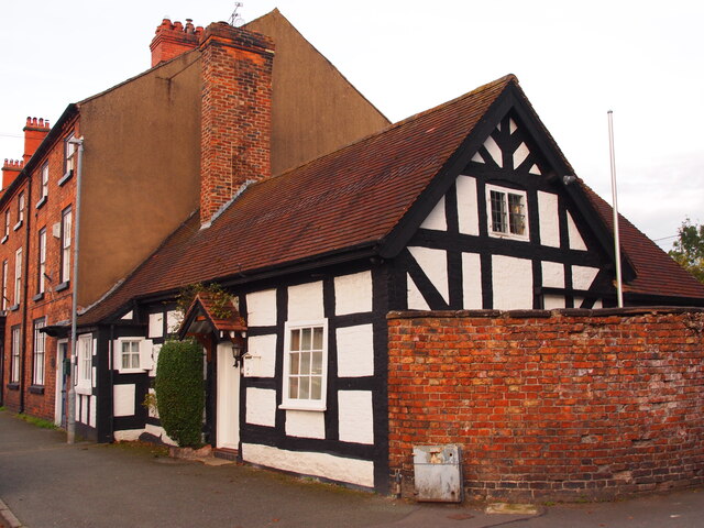
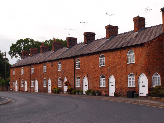
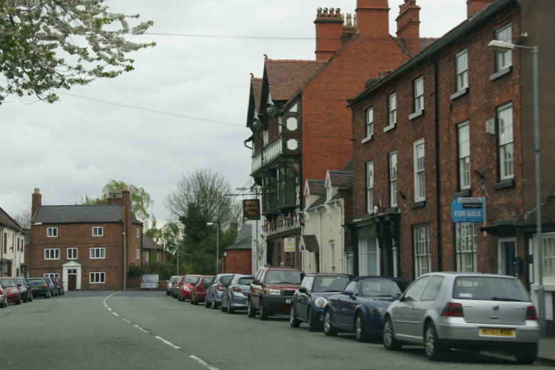
Caerowlin Wood Images

Images are sourced within 2km of 52.966938/-2.9078566 or Grid Reference SJ3941. Thanks to Geograph Open Source API. All images are credited.

Old Milestone by the A359, Overton Road, Penley, Maelor South Parish By the A539, Overton Road, in parish of Maelor South (Wrexham County Borough District), Penley, in verge by fence, South side of road.

Inscription reads:- : To / Whitchurch 10 / (Ruabon 7) :

To be surveyed

Milestone Society National ID: FLT_WTRB06
Old Milestone by the A359, Overton Road, Penley, Maelor South Parish
By the A539, Overton Road, in parish of Maelor South (Wrexham County Borough District), Penley, in verge by fence, South side of road. Inscription reads:- : To / Whitchurch 10 / (Ruabon 7) : To be surveyed Milestone Society National ID: FLT_WTRB06
Barn on Burgess Lane
Farm buildings, Burgess Lane
Dead Tree, but green with ivy
Timber construction in evidence In house and restored barn adjacent to the A539.
Timber construction in evidence
In house and restored barn adjacent to the A539.
Hollybush Lane
Hollybush Lane
In need of repair Farm buildings at Rhyd-y-cyffyn.
In need of repair
Farm buildings at Rhyd-y-cyffyn.
Church Cottage, Overton
Dispensary Row, Overton Built around 1800.
Dispensary Row, Overton
Built around 1800.
Country House and Barn
Cows and buildings at Red Hall Farm The cooler wetter weather has brought what looks like a "spring flush" to the grazings all over this area. Here the black and whites enjoy a pleasant evening.
Cows and buildings at Red Hall Farm
The cooler wetter weather has brought what looks like a "spring flush" to the grazings all over this area. Here the black and whites enjoy a pleasant evening.
Red Hall Lane at Red Hall Farm The lane is more open here and there are less trees, probably due to the historical management of the hedges. See <a href="https://www.geograph.org.uk/gridref/SJ3838">SJ3838</a>
Red Hall Lane at Red Hall Farm
The lane is more open here and there are less trees, probably due to the historical management of the hedges. See SJ3838
Road or Footpath? Designated a road used as a footpath, on the O.S.Map ( First Series.) It appeared difficult either way.
Road or Footpath?
Designated a road used as a footpath, on the O.S.Map ( First Series.) It appeared difficult either way.
Salt of the Earth! Sited at the top of a sharp little incline, it would appear that having two such containers at this location indicates that a hard winter is in store.
Salt of the Earth!
Sited at the top of a sharp little incline, it would appear that having two such containers at this location indicates that a hard winter is in store.
Bridge House Whether due to the poor summer is unknown, but this business was up for sale. It is in an idyllic spot, given appropriate holiday weather.
Bridge House
Whether due to the poor summer is unknown, but this business was up for sale. It is in an idyllic spot, given appropriate holiday weather.
Emral Brook Looking down river from Mill House
Emral Brook
Looking down river from Mill House
Water Gardens Emral Brook passing at the bottom of Bridge House Gardens.
Water Gardens
Emral Brook passing at the bottom of Bridge House Gardens.
Sylvan Bridge. The debris lodged on the barbed wire indicates the height the recent flood-water had achieved.
Sylvan Bridge.
The debris lodged on the barbed wire indicates the height the recent flood-water had achieved.
Show me another place!

Caerowlin Wood is located at Grid Ref: SJ3941 (Lat: 52.966938, Lng: -2.9078566)

Unitary Authority: Wrexham

Police Authority: North Wales

What 3 Words

///pelt.spent.classics. Near Overton, Wrexham

Related Wikis

Cloy Halt railway station

Cloy Halt railway station was a station to the east of Overton-on-Dee, Wrexham, Wales. The station was opened on 30 June 1932 and closed on 10 September...

Overton-on-Dee railway station

Overton-on-Dee railway station was a station to the southeast of Overton-on-Dee, Wrexham, Wales at Lightwood Green. The station was opened on 2 November...

Cloy Brook Pastures

Cloy Brook Pastures is a Site of Special Scientific Interest in the preserved county of Clwyd, north Wales. It is an area of wet pasture managed by grazing...

Overton-on-Dee

Overton (Welsh: Owrtyn) or Overton-on-Dee is a village and community in Wrexham County Borough, Wales. It is situated close to the Welsh-English border...

Nearby Amenities

Located within 500m of 52.966938,-2.9078566
Barrier: stile
Foot: yes
Lat/Long: 52.967397/-2.9124802
Barrier: stile
Foot: yes
Lat/Long: 52.9674687/-2.9120963
Barrier: stile
Foot: yes
Lat/Long: 52.9686707/-2.9036383
Barrier: stile
Foot: yes
Lat/Long: 52.9702418/-2.9076142
Barrier: stile
Foot: yes
Lat/Long: 52.9690011/-2.9088032
Barrier: stile
Foot: yes
Lat/Long: 52.9685796/-2.9011965
Barrier: stile
Foot: yes
Lat/Long: 52.9691504/-2.9084067
The data included in this document is from www.openstreetmap.org. The data is made available under ODbL.

Have you been to Caerowlin Wood?

Leave your review of Caerowlin Wood below (or comments, questions and feedback).