Cockshoot Wood

Wood, Forest in Monmouthshire

Wales

Cockshoot Wood

Gwehelog Fawr: Llancayo windmill A tower windmill and a local landmark, visible from the B4598 Usk-Abergavenny road. The mill gearing and sails were destroyed in a fire in 1825.
Gwehelog Fawr: Llancayo windmill Credit: Martin Bodman

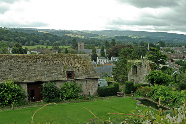
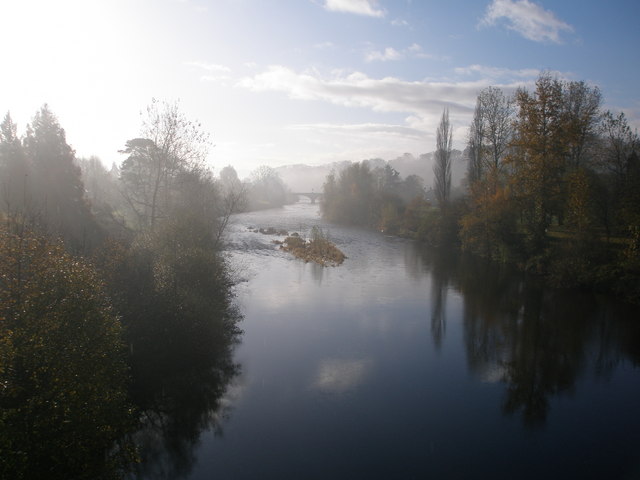
Cockshoot Wood is a beautiful woodland located in Monmouthshire, Wales. Covering an area of approximately 30 hectares, this ancient forest is a mix of native broadleaf trees such as oak, beech, and ash. The woodland is home to a variety of wildlife, including birds, mammals, and insects.

Visitors to Cockshoot Wood can enjoy peaceful walks along well-maintained trails that wind through the trees, providing opportunities to observe the flora and fauna that call this woodland home. The forest is also a popular spot for birdwatching, with a variety of species to be seen throughout the year.

In addition to its natural beauty, Cockshoot Wood has historical significance, with evidence of human activity dating back to the Bronze Age. Remnants of ancient settlements and burial mounds can be found within the woodland, adding to its appeal for history enthusiasts.

Overall, Cockshoot Wood is a tranquil and picturesque forest that offers visitors the chance to connect with nature and explore the rich history of the area.

If you have any feedback on the listing, please let us know in the comments section below.

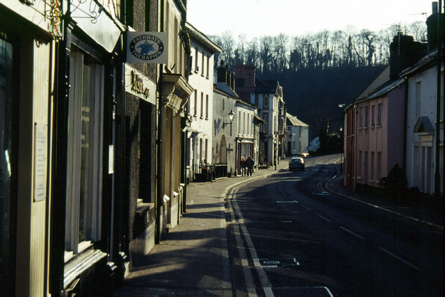
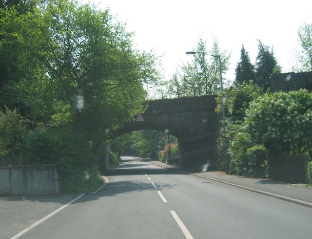
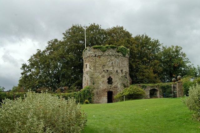
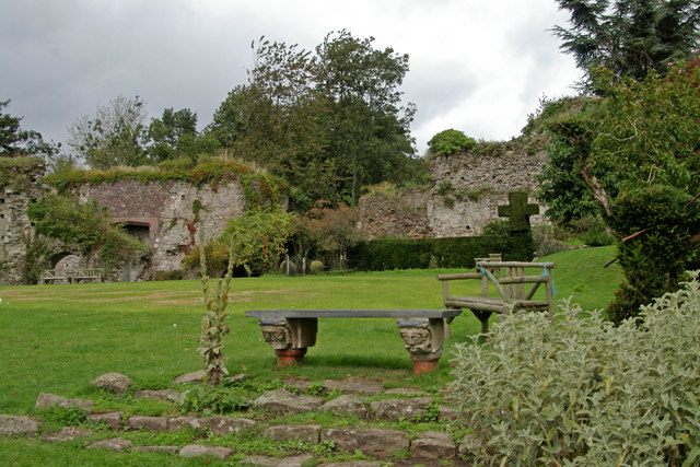
Cockshoot Wood Images

Images are sourced within 2km of 51.711998/-2.8970659 or Grid Reference SO3801. Thanks to Geograph Open Source API. All images are credited.

Gwehelog Fawr: Llancayo windmill A tower windmill and a local landmark, visible from the B4598 Usk-Abergavenny road. The mill gearing and sails were destroyed in a fire in 1825.
Gwehelog Fawr: Llancayo windmill
A tower windmill and a local landmark, visible from the B4598 Usk-Abergavenny road. The mill gearing and sails were destroyed in a fire in 1825.
Usk Looking west along Bridge Street towards the River Usk.
Usk
Looking west along Bridge Street towards the River Usk.
Railway Bridge by Usk Station This line - closed in the 1950's - ran from Pontypool to Usk, Monmouth and Coleford
Railway Bridge by Usk Station
This line - closed in the 1950's - ran from Pontypool to Usk, Monmouth and Coleford
Usk Castle
Usk Castle
Usk Castle
Usk Castle
View from Usk Castle
Llangeview Church This is must have been a tranquil spot, now somewhat marred by the proximity of the A449(T). The setting is still beautiful though.  

In 1999, following a declaration of redundancy, the church passed into the care of the Friends of Friendless Churches who preserve it as a place of quiet contemplation for the local community and for visitors to enjoy. <span class="nowrap"><a title="http://www.friendsoffriendlesschurches.org.uk" rel="nofollow ugc noopener" href="http://www.friendsoffriendlesschurches.org.uk">Link</a><img style="margin-left:2px;" alt="External link" title="External link - shift click to open in new window" src="https://s1.geograph.org.uk/img/external.png" width="10" height="10"/></span>
Llangeview Church
This is must have been a tranquil spot, now somewhat marred by the proximity of the A449(T). The setting is still beautiful though. In 1999, following a declaration of redundancy, the church passed into the care of the Friends of Friendless Churches who preserve it as a place of quiet contemplation for the local community and for visitors to enjoy. LinkExternal link
Sliproad onto A449(T) Sliproad from A472 onto Northbound A449(T). Taken from the bridge carrying the B4235 over the A449(T).
Sliproad onto A449(T)
Sliproad from A472 onto Northbound A449(T). Taken from the bridge carrying the B4235 over the A449(T).
Clock tower, Usk With a glimpse of the castle behind.
Clock tower, Usk
With a glimpse of the castle behind.
Plaque on clock tower
St. Francis Xavier and St. David Lewis Catholic Church, Usk With Usk Castle behind.
St. Francis Xavier and St. David Lewis Catholic Church, Usk
With Usk Castle behind.
Afon Wysg/ River Usk
Usk River
Usk River
Gwehelog, Monmouthshire Looking north on the road from Usk to Gwehelog, Monmouthshire
Gwehelog, Monmouthshire
Looking north on the road from Usk to Gwehelog, Monmouthshire
View towards Trostrey Common from a small bridge The stream crossed by the bridge from which this picture was taken is too small to get a name on the map.
View towards Trostrey Common from a small bridge
The stream crossed by the bridge from which this picture was taken is too small to get a name on the map.
The Hall Inn, plus telephone box The 1:50 000 map suggests that the pub is on the other side of the road, but clearly it's in the same place as the K6 phone box!
The Hall Inn, plus telephone box
The 1:50 000 map suggests that the pub is on the other side of the road, but clearly it's in the same place as the K6 phone box!
Show me another place!

Cockshoot Wood is located at Grid Ref: SO3801 (Lat: 51.711998, Lng: -2.8970659)

Unitary Authority: Monmouthshire

Police Authority: Gwent

What 3 Words

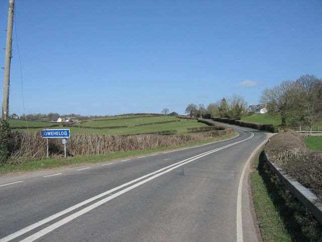
///regulates.cement.alarm. Near Usk, Monmouthshire

Nearby Locations

Cockshoot Wood

Related Wikis

Castle House, Usk

Castle House in Usk, Monmouthshire, Wales, originally formed the gatehouse to Usk Castle. Much altered in the eighteenth and nineteenth centuries, it is...

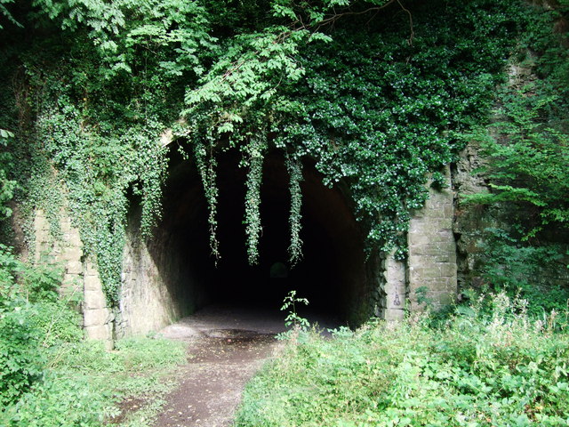
Usk railway station (Great Western Railway)

Usk (GWR) railway station is a disused railway station in the town of Usk, Monmouthshire, Wales. The station is now barely recognisable with the remains...

Berthin Brook

The Berthin Brook is a minor right bank tributary of the River Usk in Monmouthshire, in south Wales. Flowing north from New Inn initially, it turns east...

Usk Castle

Usk Castle (Welsh: Castell Brynbuga) is a castle site in the town of Usk in central Monmouthshire, south east Wales, United Kingdom. It was listed Grade...

Nearby Amenities

Located within 500m of 51.711998,-2.8970659
Communication Mobile Phone: yes
Man Made: mast
Tower Type: communication
Lat/Long: 51.7103321/-2.9026491
Direction: 180
Generator Method: photovoltaic
Generator Output Electricity: yes
Generator Solar Modules: 12
Generator Source: solar
Generator Type: solar_photovoltaic_panel
Location: roof
Power: generator
Lat/Long: 51.7078123/-2.8989943
Direction: 220
Generator Method: photovoltaic
Generator Output Electricity: yes
Generator Solar Modules: 8
Generator Source: solar
Generator Type: solar_photovoltaic_panel
Location: roof
Power: generator
Lat/Long: 51.7081409/-2.8982933
Direction: 200
Generator Method: photovoltaic
Generator Output Electricity: yes
Generator Solar Modules: 16
Generator Source: solar
Generator Type: solar_photovoltaic_panel
Location: roof
Power: generator
Lat/Long: 51.7086124/-2.8957253
Addr Postcode: NP15 1TS
Lat/Long: 51.708523/-2.8966061
The data included in this document is from www.openstreetmap.org. The data is made available under ODbL.

Have you been to Cockshoot Wood?

Leave your review of Cockshoot Wood below (or comments, questions and feedback).