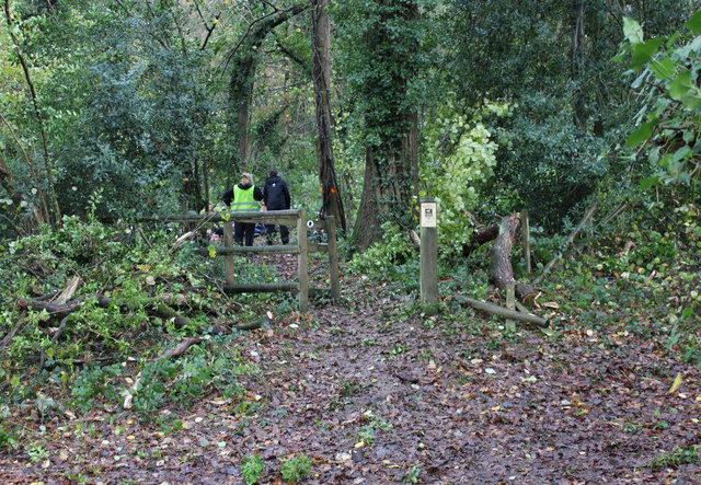
Trostrey Wood
Wood, Forest in Monmouthshire
Wales
Trostrey Wood
The requested URL returned error: 429 Too Many Requests
If you have any feedback on the listing, please let us know in the comments section below.
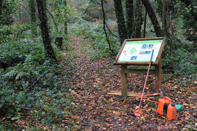
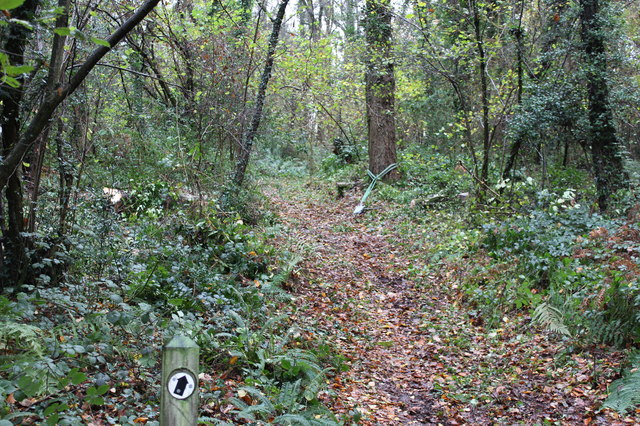
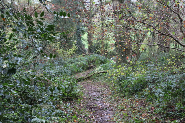
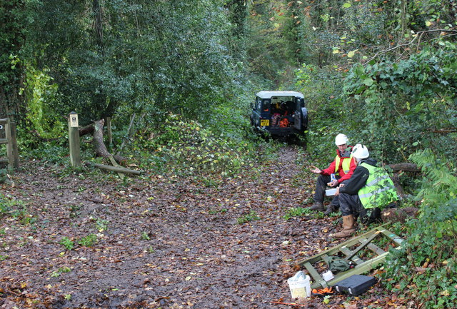
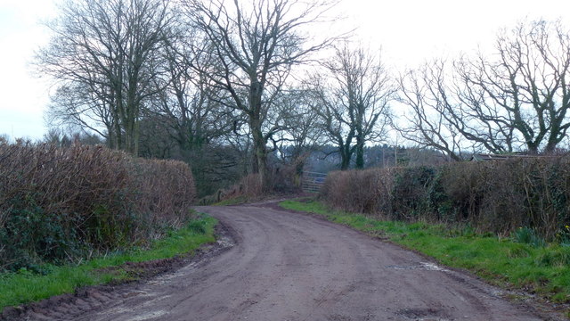
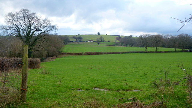
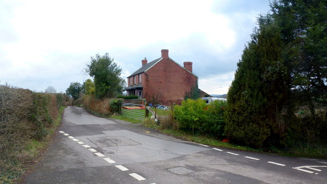
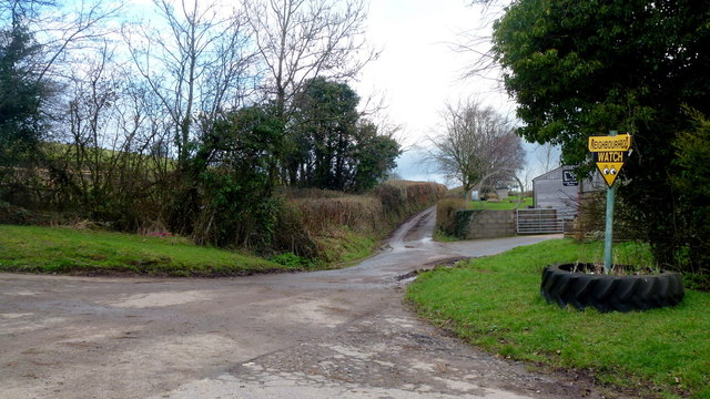
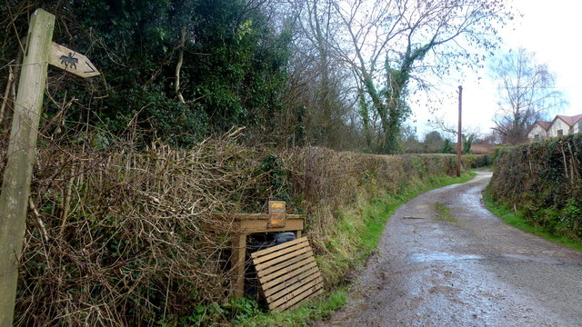
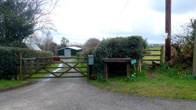
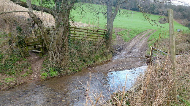
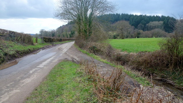
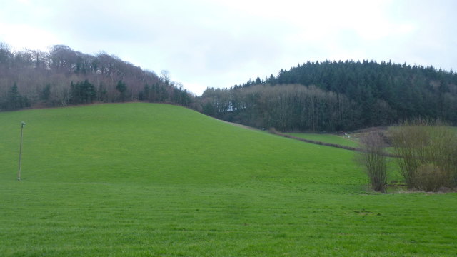
Trostrey Wood Images
Images are sourced within 2km of 51.738176/-2.9163388 or Grid Reference SO3604. Thanks to Geograph Open Source API. All images are credited.

Trostrey Wood is located at Grid Ref: SO3604 (Lat: 51.738176, Lng: -2.9163388)
Unitary Authority: Monmouthshire
Police Authority: Gwent
What 3 Words
///sedative.snares.eggs. Near Usk, Monmouthshire
Nearby Locations
Related Wikis

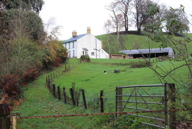
Trostrey Court
Trostrey Court House, Trostrey, Monmouthshire is a late 16th century gentry house. The current building replaced an earlier medieval court. The house played...

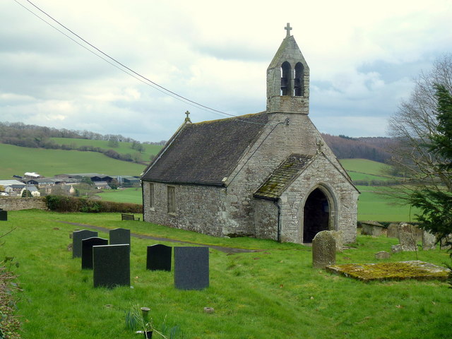
St David's Church, Trostrey
The Church of St David, Trostrey, Monmouthshire, Wales, is a parish church with its origins in the 14th century. Its founder may have been Geoffrey Marshall...
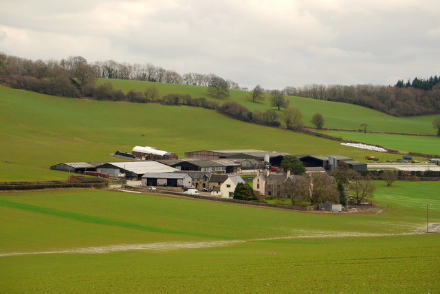
Trostrey
Trostrey (Welsh: Trostre) is a small hamlet and parish in Monmouthshire, in southeast Wales located about 2+1⁄2 miles (4.0 km) north/northwest of Usk....

Church of St Aeddan, Bettws Newydd
The Church of St Aeddan, Bettws Newydd, Monmouthshire, Wales, is a fifteenth-century church of twelfth-century origin. It contains a notable rood screen...
Nearby Amenities
Located within 500m of 51.738176,-2.9163388Have you been to Trostrey Wood?
Leave your review of Trostrey Wood below (or comments, questions and feedback).