Helt Wood

Wood, Forest in Flintshire

Wales

Helt Wood

Church Cottage, Overton
Church Cottage, Overton Credit: Chris Andrews

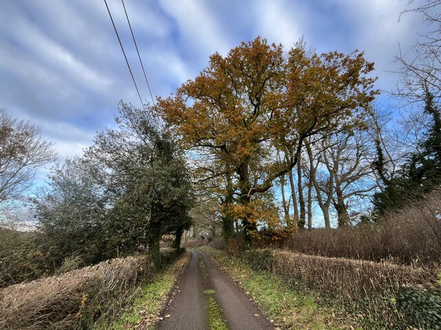
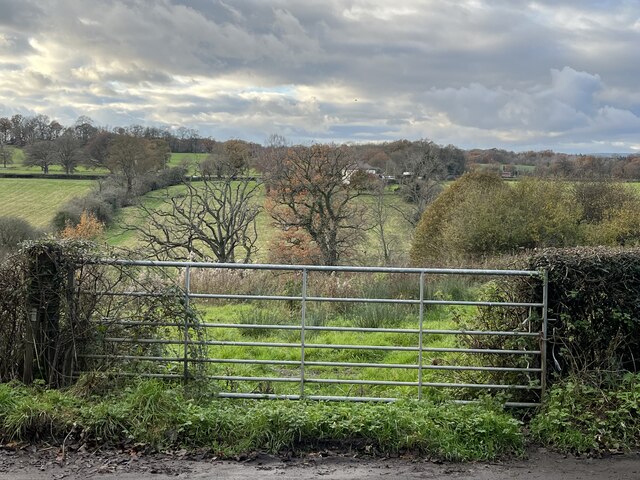
Helt Wood is a picturesque forest situated in Flintshire, Wales. Covering an area of approximately 250 acres, this woodland is known for its natural beauty and diverse range of flora and fauna. It forms part of the Clwydian Range and Dee Valley Area of Outstanding Natural Beauty, attracting nature enthusiasts and hikers alike.

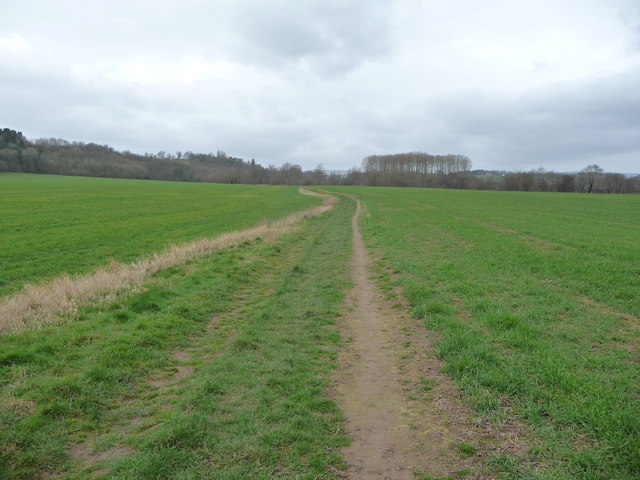
The forest is predominantly composed of deciduous trees, including oak, beech, and birch, which provide a stunning display of colors during the autumn season. The varied terrain offers a mix of open clearings, dense undergrowth, and winding footpaths, making it an ideal location for leisurely walks or more challenging hikes.

Helt Wood is home to a rich array of wildlife. Birds such as the great spotted woodpecker, tawny owl, and red kite can be spotted here, while mammals like badgers, foxes, and squirrels are also present. The forest floor is carpeted with bluebells in the springtime, creating a vibrant and enchanting atmosphere.

Visitors to Helt Wood can enjoy the tranquility and serenity of the surroundings, with numerous picnic spots and benches strategically placed throughout the area. The forest is well-maintained, with clear signposts and marked trails ensuring a safe and enjoyable experience for all.

Overall, Helt Wood offers a delightful escape into nature, providing a peaceful retreat for those seeking solace in the great outdoors. Whether it is for a leisurely stroll, birdwatching, or simply appreciating the beauty of nature, this forest in Flintshire is a must-visit destination for nature lovers.

If you have any feedback on the listing, please let us know in the comments section below.
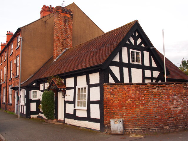
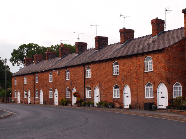
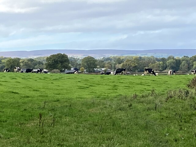
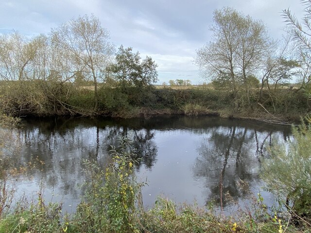
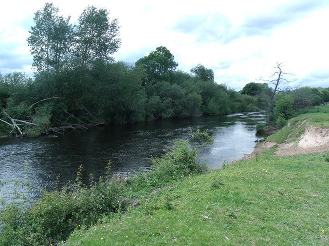
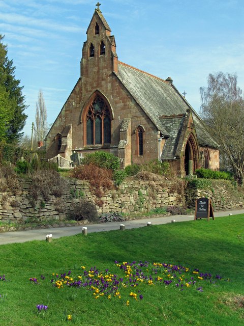
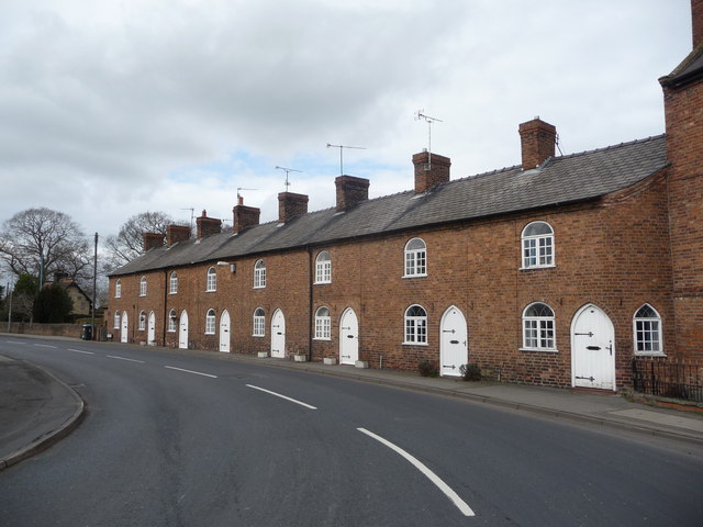
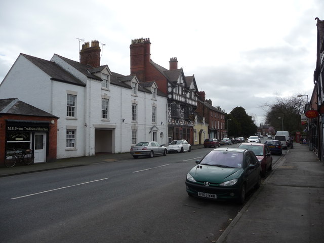
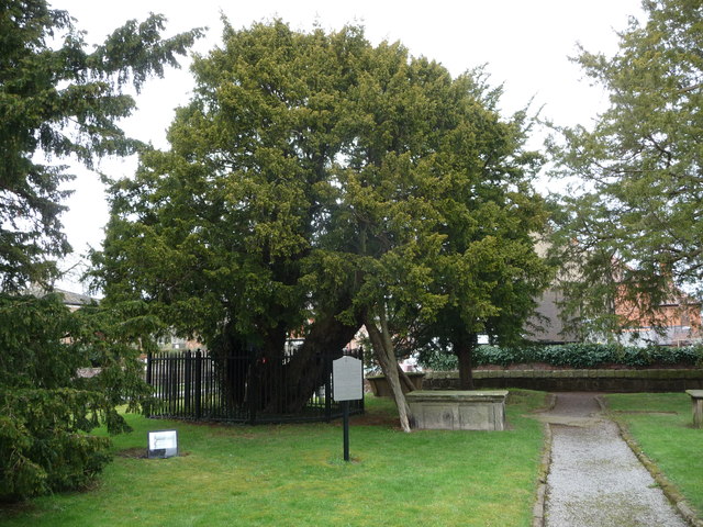
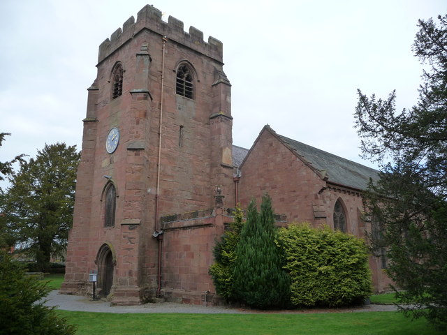
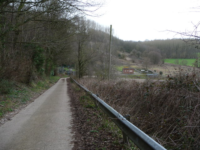
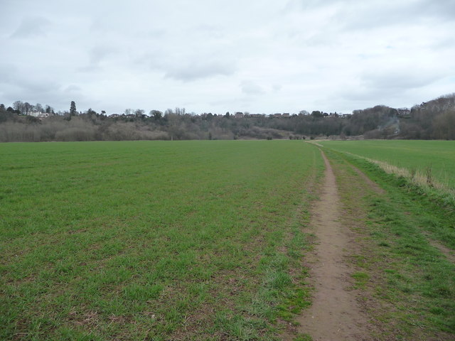
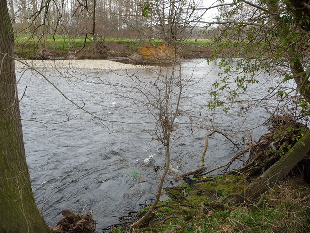
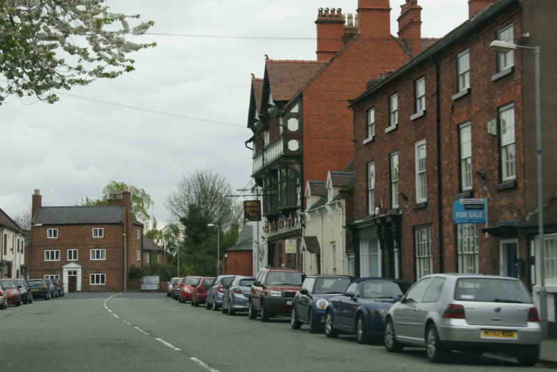
Helt Wood Images

Images are sourced within 2km of 52.971157/-2.942224 or Grid Reference SJ3641. Thanks to Geograph Open Source API. All images are credited.

Church Cottage, Overton
Dispensary Row, Overton Built around 1800.
Dispensary Row, Overton
Built around 1800.
Cattle grazing in a field by the River Dee With a distant view of the Welsh hills.
Cattle grazing in a field by the River Dee
With a distant view of the Welsh hills.
Autumnal reflections In the River Dee.
Autumnal reflections
In the River Dee.
Dead-end road above the River Dee
Gate with a view Though the River Dee, in the valley, is hidden from view.
Gate with a view
Though the River Dee, in the valley, is hidden from view.
River Dee flood Flood waters at their highest looking West outside St Hilary's Church, Erbistock on the road to the Boat Inn on the 6 February 2011. The sundial pillar is on the right. Compare this to the normal river level shown in older picture "The River Dee near the church at Erbistock" by Eirian Evans.
River Dee flood
Flood waters at their highest looking West outside St Hilary's Church, Erbistock on the road to the Boat Inn on the 6 February 2011. The sundial pillar is on the right. Compare this to the normal river level shown in older picture "The River Dee near the church at Erbistock" by Eirian Evans.
The River Dee at  Ddol
The River Dee at Ddol
River Dee towards Overton
St Hilary's church Erbistock in spring
Dispensary Row, Wrexham Road, Overton-on-Dee Dating from the early 19th century these cottages are just a part of the rich architectural heritage of Overton.
Dispensary Row, Wrexham Road, Overton-on-Dee
Dating from the early 19th century these cottages are just a part of the rich architectural heritage of Overton.
Part of the High Street in Overton-on-Dee Nice to see a traditional butcher's shop trading in a village, plus an open pub. Some shops have closed and the convenience store is currently on the market but Overton seems to be a thriving village.
Part of the High Street in Overton-on-Dee
Nice to see a traditional butcher's shop trading in a village, plus an open pub. Some shops have closed and the convenience store is currently on the market but Overton seems to be a thriving village.
An ancient Yew tree in Overton-on-Dee churchyard This particular Yew tree may well be around 2,000 years old. (Let's assume 2012 for sake of convenience). The twenty-one Yews in the churchyard are all classed as ancient, except one planted by our present Queen on a visit in the last few years. The Yews are of course one of 'the Seven Wonders of Wales.'
An ancient Yew tree in Overton-on-Dee churchyard
This particular Yew tree may well be around 2,000 years old. (Let's assume 2012 for sake of convenience). The twenty-one Yews in the churchyard are all classed as ancient, except one planted by our present Queen on a visit in the last few years. The Yews are of course one of 'the Seven Wonders of Wales.'
The church of St. Mary the Virgin in Overton-on-Dee A pretty and well kept church surrounded by its 21 ancient yew trees. A Christian religious site may well have existed here since the 5th or 6th century, initially in the form of a simple oratory, becoming a church building in the medieval period. The use of this spot for religious purposes may well even pre-date the advent of Christianity.
The church of St. Mary the Virgin in Overton-on-Dee
A pretty and well kept church surrounded by its 21 ancient yew trees. A Christian religious site may well have existed here since the 5th or 6th century, initially in the form of a simple oratory, becoming a church building in the medieval period. The use of this spot for religious purposes may well even pre-date the advent of Christianity.
Part of the Maelor Way near Overton-on-Dee Not one of the most scenic sections of the waymarked trail.
Part of the Maelor Way near Overton-on-Dee
Not one of the most scenic sections of the waymarked trail.
Part of the Maelor Way between Overton-on-Dee and the River Dee The path crosses water meadows on the floodplain of the mighty river.
Part of the Maelor Way between Overton-on-Dee and the River Dee
The path crosses water meadows on the floodplain of the mighty river.
Part of the Maelor Way below Overton Houses in Overton can be seen high above the old floodplain of the river.
Part of the Maelor Way below Overton
Houses in Overton can be seen high above the old floodplain of the river.
Part of the River Dee / Afon Dyfrdwy near Overton A typical section of river bank in this area with the river licking past at quite a rate. In early spring it is already busy with pairs of ducks and waterfowl. I also saw some fish jumping.
Part of the River Dee / Afon Dyfrdwy near Overton
A typical section of river bank in this area with the river licking past at quite a rate. In early spring it is already busy with pairs of ducks and waterfowl. I also saw some fish jumping.
Show me another place!

Helt Wood is located at Grid Ref: SJ3641 (Lat: 52.971157, Lng: -2.942224)

Unitary Authority: Wrexham

Police Authority: North Wales

What 3 Words

///excavate.surprised.blushed. Near Overton, Wrexham

Related Wikis

Nearby Amenities

Located within 500m of 52.971157,-2.942224
Source: npe
Lat/Long: 52.9690472/-2.9451517
Source: npe
Lat/Long: 52.9715399/-2.9468073
Source: npe
Lat/Long: 52.9724325/-2.9492298
Telephone
Booth: K6
Covered: booth
Phone: +44 1978 710249
Lat/Long: 52.9705084/-2.9351962
Post Office
Lat/Long: 52.9709821/-2.9350604
Barrier: stile
Lat/Long: 52.9723731/-2.9477548
Barrier: stile
Lat/Long: 52.9684566/-2.9448456
Historic: memorial
Memorial: war_memorial
Lat/Long: 52.9699815/-2.9350877
Post Box Type: wall
Removed Amenity: post_box
Lat/Long: 52.9709395/-2.9350195
Post Box
Post Box Type: lamp
Royal Cypher: EIIR
Royal Cypher Wikidata: Q33102113
Lat/Long: 52.9705275/-2.9352694
The Corner Shop
Shop: convenience
Lat/Long: 52.9706308/-2.9352291
Direction: 260
Generator Method: photovoltaic
Generator Output Electricity: yes
Generator Solar Modules: 14
Generator Source: solar
Generator Type: solar_photovoltaic_panel
Location: roof
Power: generator
Lat/Long: 52.9729326/-2.9430217
Direction: 125
Generator Method: photovoltaic
Generator Output Electricity: yes
Generator Solar Modules: 20
Generator Source: solar
Generator Type: solar_photovoltaic_panel
Location: roof
Power: generator
Lat/Long: 52.9726479/-2.9424678
Direction: 185
Generator Method: photovoltaic
Generator Output Electricity: yes
Generator Solar Modules: 15
Generator Source: solar
Generator Type: solar_photovoltaic_panel
Location: roof
Power: generator
Lat/Long: 52.9689162/-2.9357998
Turning Circle
Lat/Long: 52.9709319/-2.9355079
The data included in this document is from www.openstreetmap.org. The data is made available under ODbL.

Have you been to Helt Wood?

Leave your review of Helt Wood below (or comments, questions and feedback).