Gaer-House Wood
Wood, Forest in Monmouthshire
Wales
Gaer-House Wood
The requested URL returned error: 429 Too Many Requests
If you have any feedback on the listing, please let us know in the comments section below.
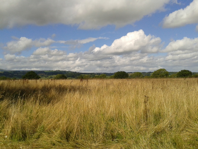
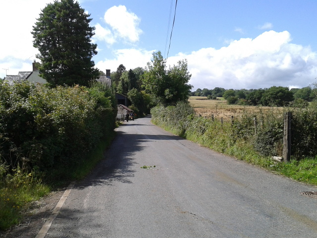
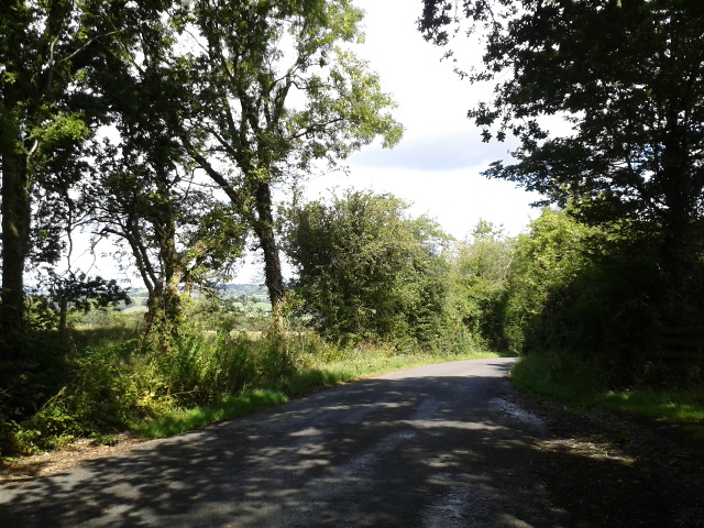
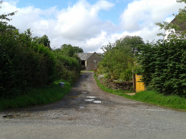
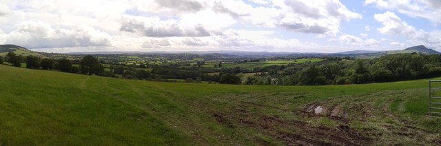
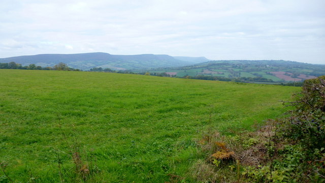
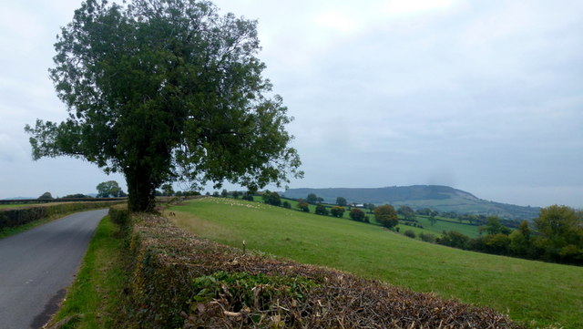
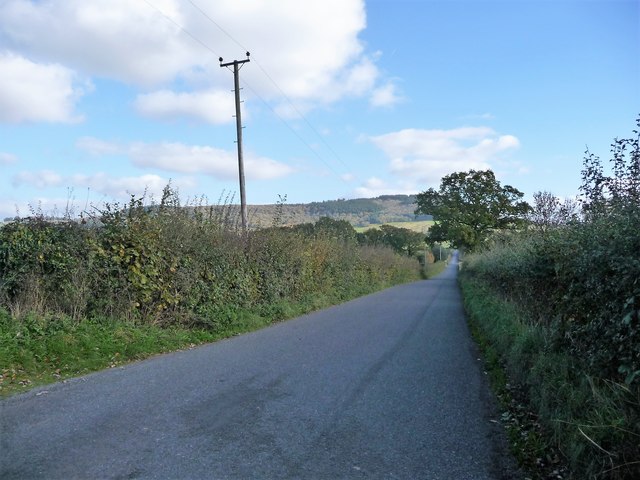
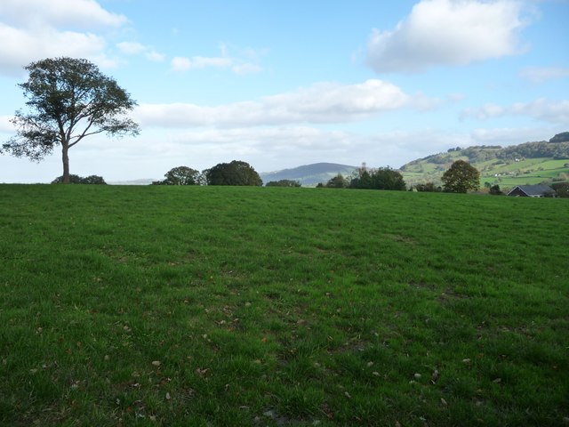
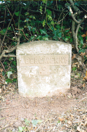
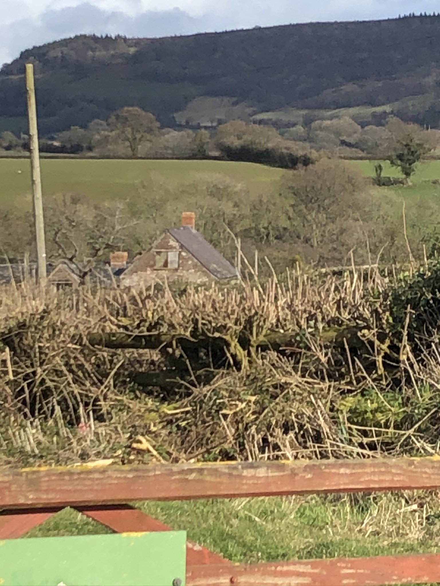
Gaer-House Wood Images
Images are sourced within 2km of 51.903321/-2.9205539 or Grid Reference SO3623. Thanks to Geograph Open Source API. All images are credited.


Gaer-House Wood is located at Grid Ref: SO3623 (Lat: 51.903321, Lng: -2.9205539)
Unitary Authority: Monmouthshire
Police Authority: Gwent
What 3 Words
///erupted.reviewed.situation. Near Llancillo, Herefordshire
Nearby Locations
Related Wikis

The Gaer House
The Gaer House (Welsh: "Yr Ty Gaer" meaning 'The Fort House' or 'The House of the Fort') is an estate house located in the community of Gaer, Newport...
Lower Celliau, Llangattock Lingoed
Lower Celliau, (aka Lower Kathlea/Lower Celli), Llangattock Lingoed, Monmouthshire is a farmhouse dating from the 16th century. It is a Grade II* listed...

Llancillo Church
Llancillo Church (also spelled Llancilo) is a Grade II*-listed redundant church in Herefordshire, England, near the Welsh border at grid reference SO36622557...

Pandy railway station
Pandy railway station was a railway station which served the Monmouthshire village of Pandy. It was located on the Welsh Marches Line between Hereford...
Nearby Amenities
Located within 500m of 51.903321,-2.9205539Have you been to Gaer-House Wood?
Leave your review of Gaer-House Wood below (or comments, questions and feedback).