Campston Wood

Wood, Forest in Monmouthshire

Wales

Campston Wood

Looking down the hill in the direction of Little Marlborough
Looking down the hill in the direction of Little Marlborough Credit: Rob Purvis

The requested URL returned error: 429 Too Many Requests

If you have any feedback on the listing, please let us know in the comments section below.

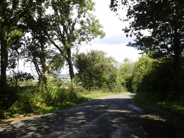
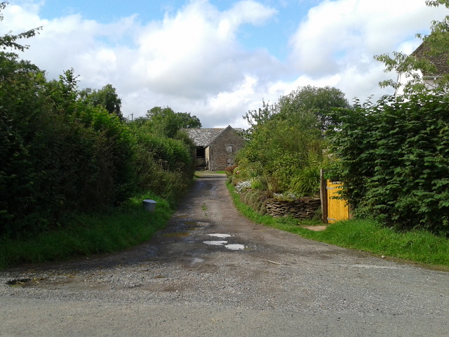
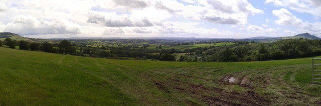
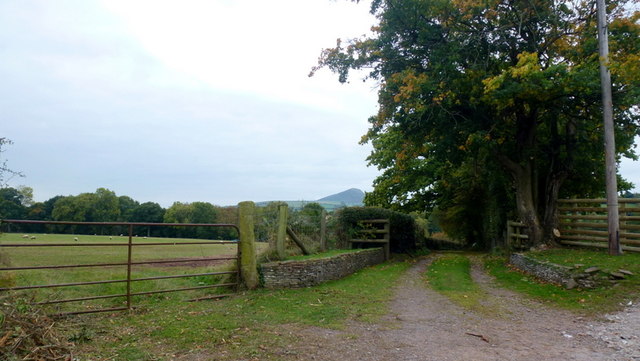
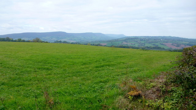
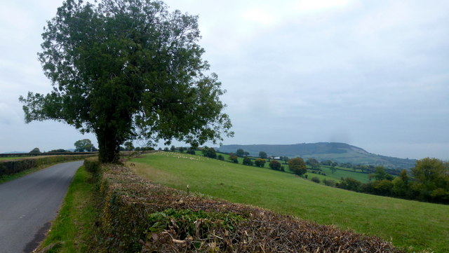
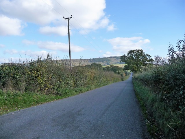
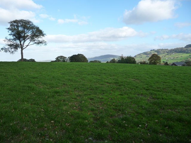
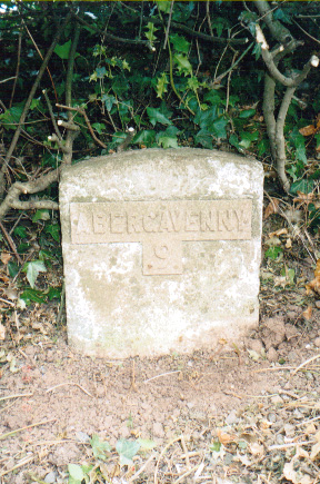
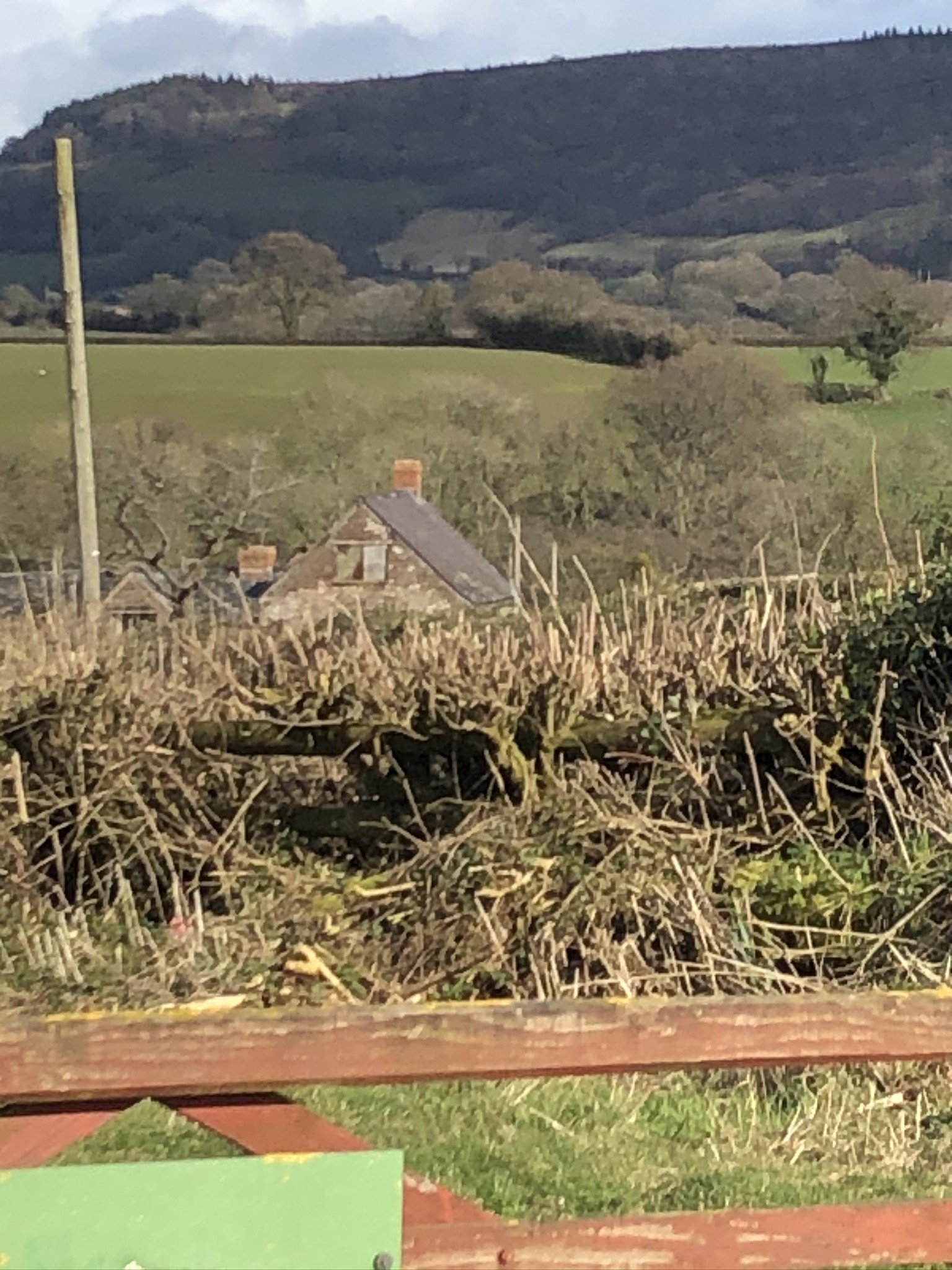
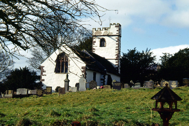
Campston Wood Images

Images are sourced within 2km of 51.895674/-2.9222869 or Grid Reference SO3622. Thanks to Geograph Open Source API. All images are credited.

Looking down the hill in the direction of Little Marlborough
Track into Greig farm
Looking down Campston Hill, The Skirrid on the right
Reservoir on top of the hill
View to Ysgyryd Fawr Photo taken from the public path by the lane to Llangattock Lingoed.
View to Ysgyryd Fawr
Photo taken from the public path by the lane to Llangattock Lingoed.
Track and footpath The track has featured in the last geograph taken here almost exactly five years earlier in October 2010 <a href="https://www.geograph.org.uk/photo/2114376">SO3521 : Track entrance and Ysgyryd Fawr</a>.
As is disappointingly common in this corner of Wales, there is no sign of public footpath signage.
Ysgyryd Fawr can be seen beyond.
Track and footpath
The track has featured in the last geograph taken here almost exactly five years earlier in October 2010 SO3521 : Track entrance and Ysgyryd Fawr. As is disappointingly common in this corner of Wales, there is no sign of public footpath signage. Ysgyryd Fawr can be seen beyond.
View from Campston Hill, 1 Looking north-west towards the nearer dome of Mynydd Merddin and Hatterrall Ridge terminating in Black Hill in the far distance.
View from Campston Hill, 1
Looking north-west towards the nearer dome of Mynydd Merddin and Hatterrall Ridge terminating in Black Hill in the far distance.
View from Campston Hill, 2 Looking along the road to Monmouth with Edmund's Tump in the far distance.
View from Campston Hill, 2
Looking along the road to Monmouth with Edmund's Tump in the far distance.
Straight track to Great Campston To the right is three Springs Plantation.
Campston Hill was the site of a battle in 1404, one of many skirmishes in the 'Welsh Revolt' of 1400-1409.
Straight track to Great Campston
To the right is three Springs Plantation. Campston Hill was the site of a battle in 1404, one of many skirmishes in the 'Welsh Revolt' of 1400-1409.
Road to Pandy Descending the western flank of Campston Hill.
Campston Hill was the site of a battle in 1404, one of many skirmishes in the 'Welsh Revolt' of 1400-1409.
Road to Pandy
Descending the western flank of Campston Hill. Campston Hill was the site of a battle in 1404, one of many skirmishes in the 'Welsh Revolt' of 1400-1409.
New farming facilities The structure does not yet (2015) feature on mapping.
New farming facilities
The structure does not yet (2015) feature on mapping.
Oops! A careless hedge-trimmer operator and the footpath sign is now firewood.
Oops!
A careless hedge-trimmer operator and the footpath sign is now firewood.
Road descending towards Grosmont Wood Farm With a 194 metre spot height just past the roadside tree.
Road descending towards Grosmont Wood Farm
With a 194 metre spot height just past the roadside tree.
Farmland north of Steppes Farm About 200 metres above sea level.
Farmland north of Steppes Farm
About 200 metres above sea level.
The road to Llanvihangel Crucorney Descending between high hedges.
The road to Llanvihangel Crucorney
Descending between high hedges.
Rhybudd/Warning! Loriau Coed yn Troi / Timber lorries turning Signs on the minor road near Three Springs Plantation.
Rhybudd/Warning! Loriau Coed yn Troi / Timber lorries turning
Signs on the minor road near Three Springs Plantation.
Old Milestone opposite Bower Farm, Grosmont parish Stone post with metal plate by the UC road, in parish of Grosmont (Monmouthshire District), opposite Bower Farm.

Inscription reads:-
ABERGAVENNY
9

Surveyed

Milestone Society National ID: MON_AGOHF09
Old Milestone opposite Bower Farm, Grosmont parish
Stone post with metal plate by the UC road, in parish of Grosmont (Monmouthshire District), opposite Bower Farm. Inscription reads:- ABERGAVENNY 9 Surveyed Milestone Society National ID: MON_AGOHF09
A465 The A465 Abergavenny to Hereford road, seen here near Goytre.
A465
The A465 Abergavenny to Hereford road, seen here near Goytre.
Show me another place!

Campston Wood is located at Grid Ref: SO3622 (Lat: 51.895674, Lng: -2.9222869)

Unitary Authority: Monmouthshire

Police Authority: Gwent

What 3 Words

///mavericks.slopes.dentistry. Near Llancillo, Herefordshire

Nearby Locations

Campston Wood

Related Wikis

The Gaer House

The Gaer House (Welsh: "Yr Ty Gaer" meaning 'The Fort House' or 'The House of the Fort') is an estate house located in the community of Gaer, Newport...

Lower Celliau, Llangattock Lingoed

Lower Celliau, (aka Lower Kathlea/Lower Celli), Llangattock Lingoed, Monmouthshire is a farmhouse dating from the 16th century. It is a Grade II* listed...

Llangattock Lingoed

Llangattock Lingoed (Welsh: Llangatwg Lingoed) is a small rural village in Monmouthshire, south east Wales. It is located approximately five miles north...

St Cadoc's Church, Llangattock Lingoed

The Church of St Cadoc, is the parish church of Llangattock Lingoed, Monmouthshire, Wales and sits in the centre of the village. It is in the Perpendicular...

Nearby Amenities

Located within 500m of 51.895674,-2.9222869
The data included in this document is from www.openstreetmap.org. The data is made available under ODbL.

Have you been to Campston Wood?

Leave your review of Campston Wood below (or comments, questions and feedback).