Coed Mawr
Wood, Forest in Monmouthshire
Wales
Coed Mawr
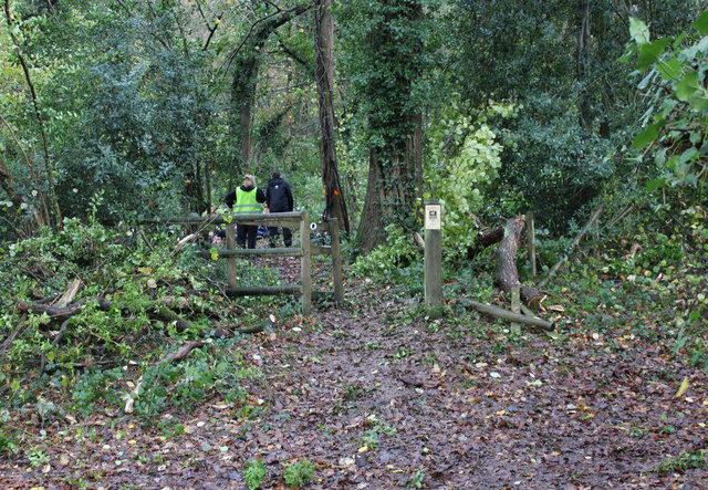
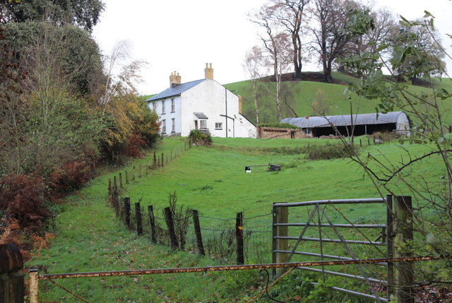
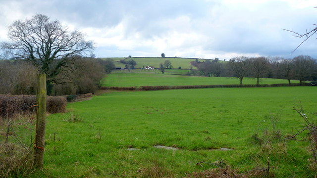
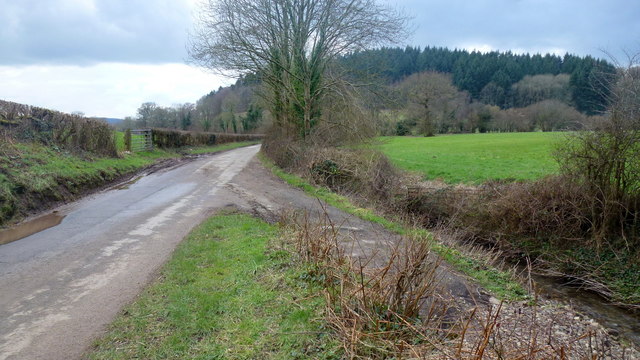
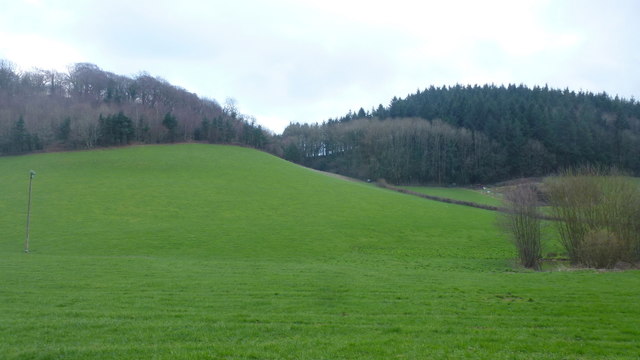
Coed Mawr, located in Monmouthshire, Wales, is a picturesque woodland area renowned for its natural beauty and rich biodiversity. Situated in the lower Usk Valley, this ancient forest spans over 150 hectares, making it an ideal destination for nature enthusiasts and outdoor adventurers.
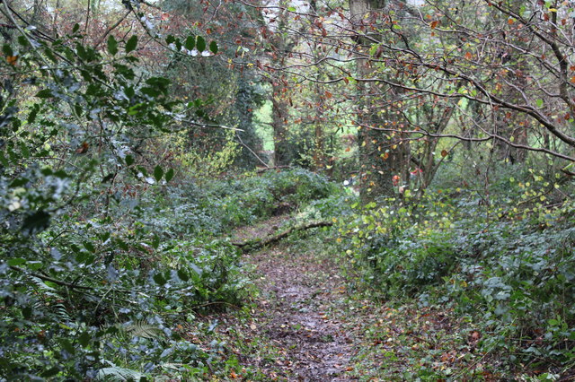
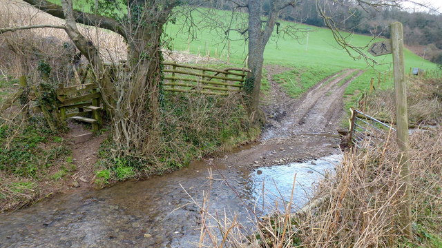
Coed Mawr is predominantly composed of deciduous trees, including beech, oak, and ash, which create a vibrant and ever-changing landscape throughout the seasons. The forest floor is covered in a thick carpet of mosses, ferns, and wildflowers, adding to the enchanting atmosphere and providing a habitat for a variety of wildlife.
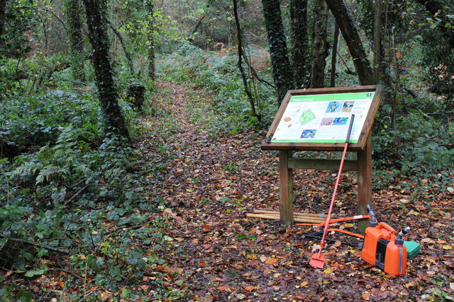
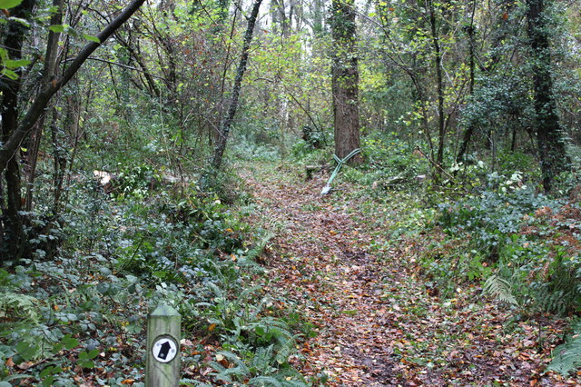
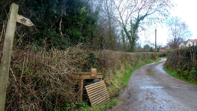
The woodland is intersected by a network of well-maintained walking trails, allowing visitors to explore its depths and discover hidden treasures along the way. The trails range from easy strolls to more challenging hikes, catering to all levels of fitness and providing opportunities for families, hikers, and nature photographers alike.
In addition to its natural beauty, Coed Mawr also boasts a rich history. The forest is home to several ancient monuments, including a hillfort dating back to the Iron Age, which offers a glimpse into the area's past. Archaeological discoveries within the woodland have revealed evidence of human activity spanning thousands of years.
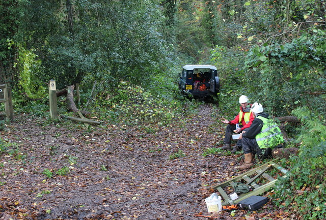
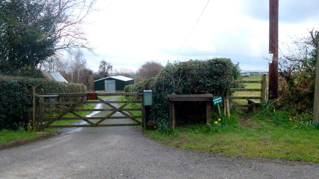
Coed Mawr is not only a place of natural and historical significance but also plays a crucial role in conservation efforts. The forest is protected and managed by local authorities to preserve its unique ecosystem and ensure the sustainability of its flora and fauna.
Whether it's a leisurely walk, an educational expedition, or simply a peaceful retreat in nature, Coed Mawr offers visitors a truly immersive and memorable experience in the heart of Monmouthshire's woodlands.
If you have any feedback on the listing, please let us know in the comments section below.
Coed Mawr Images
Images are sourced within 2km of 51.740857/-2.9196372 or Grid Reference SO3605. Thanks to Geograph Open Source API. All images are credited.

Coed Mawr is located at Grid Ref: SO3605 (Lat: 51.740857, Lng: -2.9196372)
Unitary Authority: Monmouthshire
Police Authority: Gwent
What 3 Words
///chugging.juggle.spout. Near Usk, Monmouthshire
Nearby Locations
Related Wikis

Trostrey Court
Trostrey Court House, Trostrey, Monmouthshire is a late 16th century gentry house. The current building replaced an earlier medieval court. The house played...

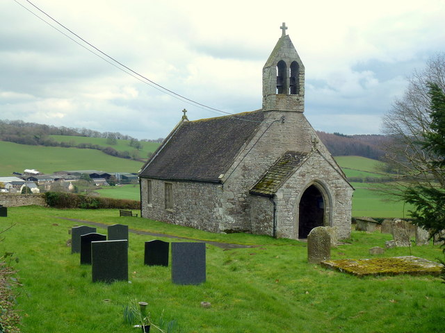
Church of St Aeddan, Bettws Newydd
The Church of St Aeddan, Bettws Newydd, Monmouthshire, Wales, is a fifteenth-century church of twelfth-century origin. It contains a notable rood screen...

St David's Church, Trostrey
The Church of St David, Trostrey, Monmouthshire, Wales, is a parish church with its origins in the 14th century. Its founder may have been Geoffrey Marshall...
Trostrey
Trostrey (Welsh: Trostre) is a small hamlet and parish in Monmouthshire, in southeast Wales located about 2+1⁄2 miles (4.0 km) north/northwest of Usk....

Bettws Newydd
Bettws Newydd (Welsh: Betws Newydd) is a small village in Monmouthshire, in southeast Wales located about 3+1⁄2 miles (5.6 km) north of Usk, a few miles...

Kemeys Commander
Kemeys Commander (Welsh: Cemais Comawndwr) is a village in Monmouthshire, in South East Wales. == Location == Kemeys Commander, 3 miles (4.8 km) north...
Church of All Saints, Kemeys Commander
The Church of All Saints, Kemeys Commander, Monmouthshire, Wales, is a parish church with its origins in the 13th century. It is a Grade II* listed building...

Church Farmhouse, Kemeys Commander
Church Farmhouse, Kemeys Commander, Monmouthshire is a former parsonage dating from the mid-16th century. The farmhouse and the attached barn are Grade...
Related Videos

Usk Valley Walk with Otis : Part 5 : 6 miles walk from Usk Town Bridge to the Chainbridge
Otis enjoys the sights along the banks of the River Usk, whilst following the Usk Valley Walk. Follow Otis on Instagram ...

Usk Valley Walk with Otis : Part 6 : The Chainbridge Inn at Kemeys Commander to Llanellen
Otis enjoys the sights along the banks of the River Usk, whilst following the Usk Valley Walk. Follow Otis on Instagram ...

Kemeys Woodlands near Langstone in search of the 1911 Folly at the top
Adventures and Walks with Puppy dog Otis, the Border Collie / Cocker Spaniel cross-breed. Otis was born 7th July 2021 and he ...

Relaxing Walk in Coed Y Bwnydd Wood,Bluebells,Bird sound, Binaural Sounds,ASMR
Hi everyone. Enjoy the tranquil walk in a beautiful bluebell wood. Like, Share, and Subscribe. Enjoy the walk. Check out our other ...
Nearby Amenities
Located within 500m of 51.740857,-2.9196372Have you been to Coed Mawr?
Leave your review of Coed Mawr below (or comments, questions and feedback).