Betws Newydd

Settlement in Monmouthshire

Wales

Betws Newydd

Priory Wood Nature Reserve, Monmouthshire Gwent Wildlife Trust information board with path, cleared that day, going to the left uphill. The tools are being used by a Trust working party on a rainy autumnal day.
Priory Wood Nature Reserve, Monmouthshire Credit: M J Roscoe

Betws Newydd is a small village located in the county of Monmouthshire, Wales. Situated near the border with England, it lies approximately 3 miles northeast of the town of Usk and is surrounded by beautiful countryside.

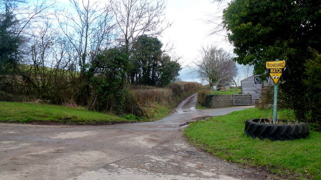
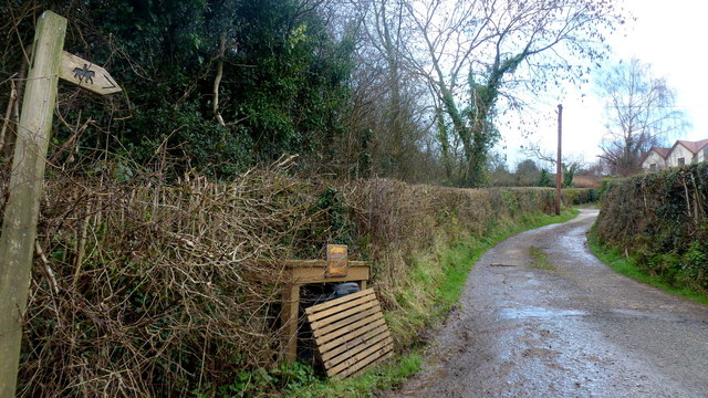
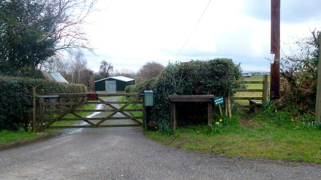
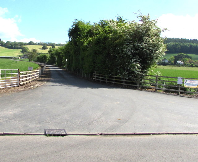
The village is known for its picturesque setting, with rolling hills and charming rural landscapes. It is a popular destination for outdoor enthusiasts, offering numerous walking and cycling routes that showcase the area's natural beauty.

Betws Newydd is home to a close-knit community, with a population of around 300 residents. The village has a quaint and traditional feel, characterized by its collection of historic cottages and period buildings. There is a strong sense of community spirit, with local events and gatherings organized throughout the year.

Although small in size, Betws Newydd has some notable amenities. The village features a village hall, which serves as a hub for various community activities and events. Additionally, there is a local pub that offers a warm and friendly atmosphere, providing a place for residents and visitors to socialize.

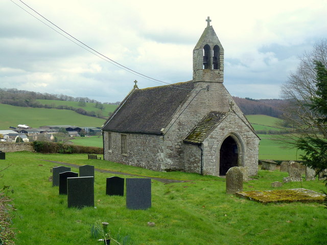
One of the notable landmarks in Betws Newydd is the St. David's Church, a charming medieval church that dates back to the 12th century. The church is known for its beautiful stained glass windows and is a popular site for weddings and other ceremonies.

Overall, Betws Newydd is a peaceful and idyllic village that offers a tranquil retreat for those seeking an escape from the hustle and bustle of city life. With its stunning natural surroundings and strong sense of community, it is a place that captures the essence of rural Wales.

If you have any feedback on the listing, please let us know in the comments section below.
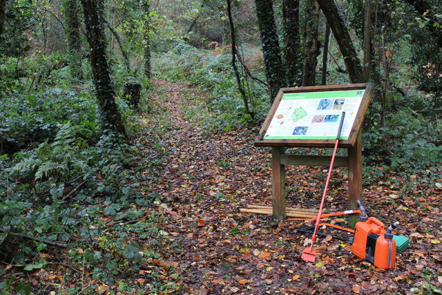
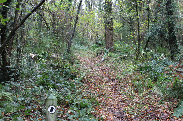
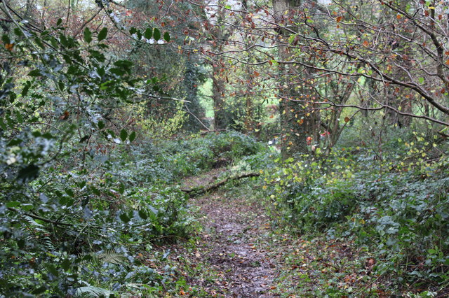
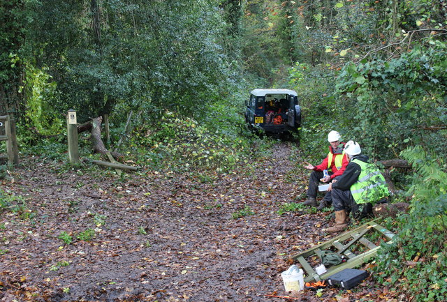
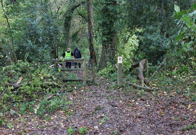
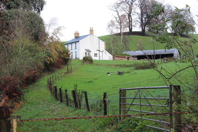
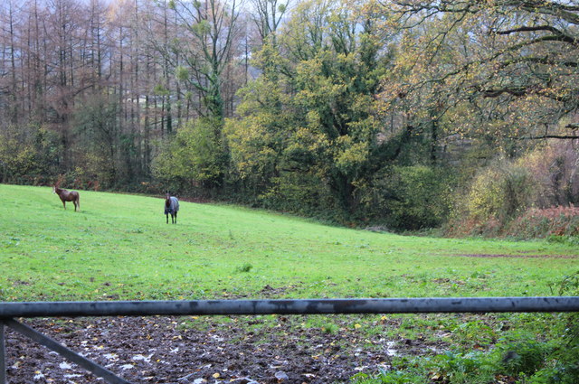
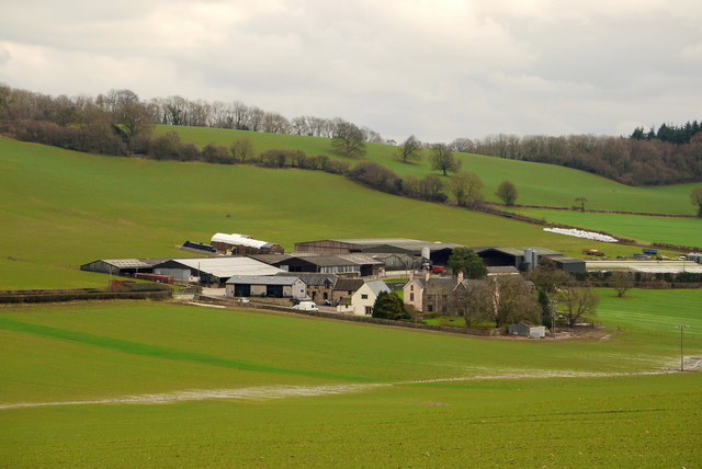
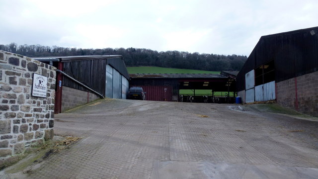
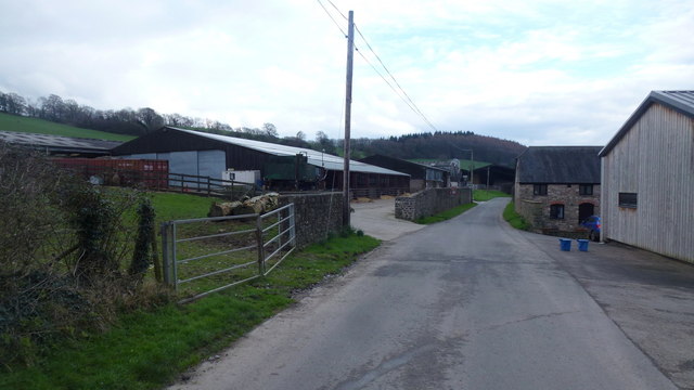
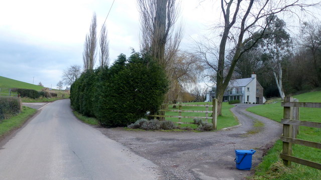
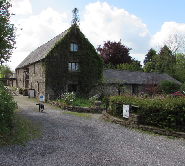
Betws Newydd Images

Images are sourced within 2km of 51.746587/-2.92425 or Grid Reference SO3605. Thanks to Geograph Open Source API. All images are credited.

Priory Wood Nature Reserve, Monmouthshire Gwent Wildlife Trust information board with path, cleared that day, going to the left uphill. The tools are being used by a Trust working party on a rainy autumnal day.
Priory Wood Nature Reserve, Monmouthshire
Gwent Wildlife Trust information board with path, cleared that day, going to the left uphill. The tools are being used by a Trust working party on a rainy autumnal day.
Priory Wood Nature Reserve, Monmouthshire Track uphill viewed from near the GWT information board  in <a href="https://www.geograph.org.uk/photo/4743344">SO3505 : Priory Wood Nature Reserve, Monmouthshire</a>. The rope strop round the base of the tree was to assist in felling an unsafe tree.
Priory Wood Nature Reserve, Monmouthshire
Track uphill viewed from near the GWT information board in SO3505 : Priory Wood Nature Reserve, Monmouthshire. The rope strop round the base of the tree was to assist in felling an unsafe tree.
Priory Wood Nature Reserve, Monmouthshire Looking down track from near information board in <a href="https://www.geograph.org.uk/photo/4743344">SO3505 : Priory Wood Nature Reserve, Monmouthshire</a>. The branch lying across the track is the result of removing unsafe tree branches by a Gwent Wildlife Trust working party.
Priory Wood Nature Reserve, Monmouthshire
Looking down track from near information board in SO3505 : Priory Wood Nature Reserve, Monmouthshire. The branch lying across the track is the result of removing unsafe tree branches by a Gwent Wildlife Trust working party.
Entrance, Priory Wood Nature Reserve Two volunteer members of a Gwent Wildlife Trust working party having a lunch break during a break in the rain. The small gate on the ground had been removed to prevent its being damaged during lopping of unsafe branches; note that, to the left, a branch has broken the fence.
Entrance, Priory Wood Nature Reserve
Two volunteer members of a Gwent Wildlife Trust working party having a lunch break during a break in the rain. The small gate on the ground had been removed to prevent its being damaged during lopping of unsafe branches; note that, to the left, a branch has broken the fence.
Pedestrian entrance, Priory Wood Nature Reserve The gate had been removed to prevent its being damaged during tree surgery by Gwent Wildlife Trust. The fence to the right of the gate post has been damaged by a falling branch. The tree (centre) marked with a red spot was felled later that afternoon.
Pedestrian entrance, Priory Wood Nature Reserve
The gate had been removed to prevent its being damaged during tree surgery by Gwent Wildlife Trust. The fence to the right of the gate post has been damaged by a falling branch. The tree (centre) marked with a red spot was felled later that afternoon.
Thornberry Cottage near Priory Wood A cottage, across the minor road from Priory Wood NR.
Thornberry Cottage near Priory Wood
A cottage, across the minor road from Priory Wood NR.
Paddock above River Usk Horses in field alongside minor road from Chain Bridge.
Paddock above River Usk
Horses in field alongside minor road from Chain Bridge.
Trostrey Court and Farm Viewed from over 500m away from Church Lane.
This large farm sits in a gentle side valley of the Usk. Its main businesses are dairy and poultry.
The owner is (2015) President of the Royal Welsh Show; see an article on him here; <span class="nowrap"><a title="http://www.southwalesargus.co.uk/news/features/13611591.First_Person__Usk_farmer_David_Morgan/" rel="nofollow ugc noopener" href="http://www.southwalesargus.co.uk/news/features/13611591.First_Person__Usk_farmer_David_Morgan/">Link</a><img style="margin-left:2px;" alt="External link" title="External link - shift click to open in new window" src="https://s1.geograph.org.uk/img/external.png" width="10" height="10"/></span>
Trostrey Court and Farm
Viewed from over 500m away from Church Lane. This large farm sits in a gentle side valley of the Usk. Its main businesses are dairy and poultry. The owner is (2015) President of the Royal Welsh Show; see an article on him here; LinkExternal link
St. David's church, Trostrey A delightful spot on the hillside overlooking Trostrey Court, seen beyond.
Compare with Phil's photo from April 2008; <a href="https://www.geograph.org.uk/photo/764619">SO3504 : St David's church at Trostrey</a>.
St. David's church, Trostrey
A delightful spot on the hillside overlooking Trostrey Court, seen beyond. Compare with Phil's photo from April 2008; SO3504 : St David's church at Trostrey.
Dead-end lane Leads to Hill Farm, passing a house named Pleasant View seen to the left.
Dead-end lane
Leads to Hill Farm, passing a house named Pleasant View seen to the left.
Lane by Long Wood Farm Narrow lane heads north towards Berllwyd.
Lane by Long Wood Farm
Narrow lane heads north towards Berllwyd.
Track and bridleway Towards Walnut Tree House, Trostrey Common.
Track and bridleway
Towards Walnut Tree House, Trostrey Common.
Gate and stile Plus a reminder for dog owners to keep their animals on a lead.
Gate and stile
Plus a reminder for dog owners to keep their animals on a lead.
Trostrey Court Farm This large farm sits in a gentle side valley of the Usk. Its main businesses are dairy and poultry.
Trostrey Court Farm
This large farm sits in a gentle side valley of the Usk. Its main businesses are dairy and poultry.
Lane at Trostrey Court Farm This large farm sits in a gentle side valley of the Usk. Its main businesses are dairy and poultry.
Lane at Trostrey Court Farm
This large farm sits in a gentle side valley of the Usk. Its main businesses are dairy and poultry.
Designer house, Redgate Below Coed Yr Allt, to the right, by the junction with Church Road.
Designer house, Redgate
Below Coed Yr Allt, to the right, by the junction with Church Road.
Craft Renaissance, Kemeys Commander, Monmouthshire Craft Renaissance (gallery, cafe & workshops) is set back from the west side of the B4598 in rural Monmouthshire.
Craft Renaissance, Kemeys Commander, Monmouthshire
Craft Renaissance (gallery, cafe & workshops) is set back from the west side of the B4598 in rural Monmouthshire.
Trostrey Court entrance drive, Monmouthshire From the east side of the B4598 northwest of Llancayo in rural Monmouthshire.
Trostrey Court entrance drive, Monmouthshire
From the east side of the B4598 northwest of Llancayo in rural Monmouthshire.
Show me another place!

Betws Newydd is located at Grid Ref: SO3605 (Lat: 51.746587, Lng: -2.92425)

Unitary Authority: Monmouthshire

Police Authority: Gwent

Also known as: Bettws Newydd

What 3 Words

///requiring.edges.hires. Near Llanarth, Monmouthshire

Related Wikis

Church of St Aeddan, Bettws Newydd

The Church of St Aeddan, Bettws Newydd, Monmouthshire, Wales, is a fifteenth-century church of twelfth-century origin. It contains a notable rood screen...

Bettws Newydd

Bettws Newydd (Welsh: Betws Newydd) is a small village in Monmouthshire, in southeast Wales located about 3+1⁄2 miles (5.6 km) north of Usk, a few miles...

St David's Church, Trostrey

The Church of St David, Trostrey, Monmouthshire, Wales, is a parish church with its origins in the 14th century. Its founder may have been Geoffrey Marshall...

Trostrey Court

Trostrey Court House, Trostrey, Monmouthshire is a late 16th century gentry house. The current building replaced an earlier medieval court. The house played...

Trostrey

Trostrey (Welsh: Trostre) is a small hamlet and parish in Monmouthshire, in southeast Wales located about 2+1⁄2 miles (4.0 km) north/northwest of Usk....

Alice Springs Golf Club

Alice Springs Golf Club - Now Closed (Welsh: Clwb Golff Alice Springs) is a former golf club based just outside Usk at Monmouthshire, Wales. Alice Springs...

Kemeys Commander

Kemeys Commander (Welsh: Cemais Comawndwr) is a village in Monmouthshire, in South East Wales. == Location == Kemeys Commander, 3 miles (4.8 km) north...

Church of All Saints, Kemeys Commander

The Church of All Saints, Kemeys Commander, Monmouthshire, Wales, is a parish church with its origins in the 13th century. It is a Grade II* listed building...

Nearby Amenities

Located within 500m of 51.746587,-2.92425
Pub
The Black Bear
Addr Postcode: NP15 1JN
Source: survey
Website: https://www.theblackbearinn.co.uk/
Wikidata: Q80857537
Lat/Long: 51.7503447/-2.9277279
Give Way
Direction: backward
Lat/Long: 51.7485123/-2.9277524
Direction: SSE
Generator Method: photovoltaic
Generator Output Electricity: yes
Generator Solar Modules: 16
Generator Source: solar
Generator Type: solar_photovoltaic_panel
Location: roof
Power: generator
Lat/Long: 51.7501919/-2.9262579
Direction: E
Generator Method: photovoltaic
Generator Output Electricity: yes
Generator Solar Modules: 8
Generator Source: solar
Generator Type: solar_photovoltaic_panel
Location: roof
Power: generator
Lat/Long: 51.7491466/-2.9273736
Direction: 95
Generator Method: photovoltaic
Generator Output Electricity: yes
Generator Solar Modules: 7
Generator Source: solar
Generator Type: solar_photovoltaic_panel
Location: roof
Power: generator
Lat/Long: 51.7496105/-2.926163
Direction: 275
Generator Method: photovoltaic
Generator Output Electricity: yes
Generator Solar Modules: 10
Generator Source: solar
Generator Type: solar_photovoltaic_panel
Location: roof
Power: generator
Lat/Long: 51.7496003/-2.9262273
Direction: 165
Generator Method: photovoltaic
Generator Output Electricity: yes
Generator Solar Modules: 16
Generator Source: solar
Generator Type: solar_photovoltaic_panel
Location: roof
Power: generator
Lat/Long: 51.7496215/-2.9268399
Direction: SSE
Generator Method: photovoltaic
Generator Output Electricity: yes
Generator Solar Modules: 10
Generator Source: solar
Generator Type: solar_photovoltaic_panel
Location: roof
Power: generator
Lat/Long: 51.7435219/-2.9252279
The data included in this document is from www.openstreetmap.org. The data is made available under ODbL.

Have you been to Betws Newydd?

Leave your review of Betws Newydd below (or comments, questions and feedback).