Caldbergh
Settlement in Yorkshire Richmondshire
England
Caldbergh

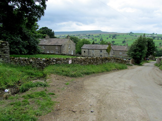
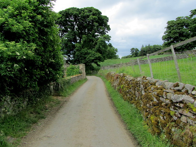
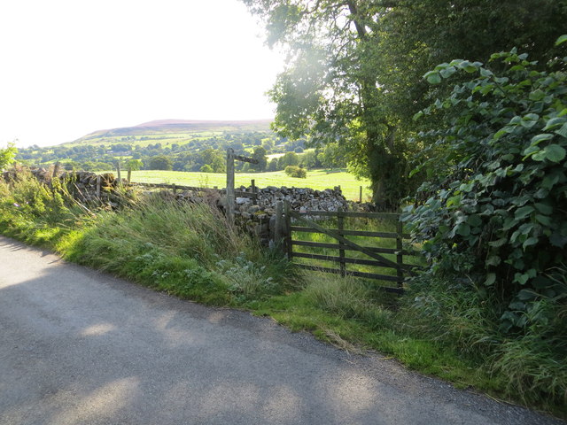
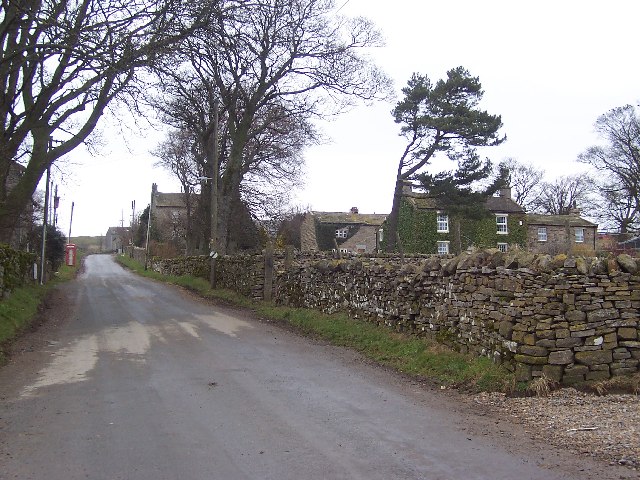
Caldbergh is a small village located in the district of Richmondshire, in North Yorkshire, England. Situated within the beautiful Yorkshire Dales National Park, Caldbergh is surrounded by picturesque countryside, rolling hills, and lush green meadows.
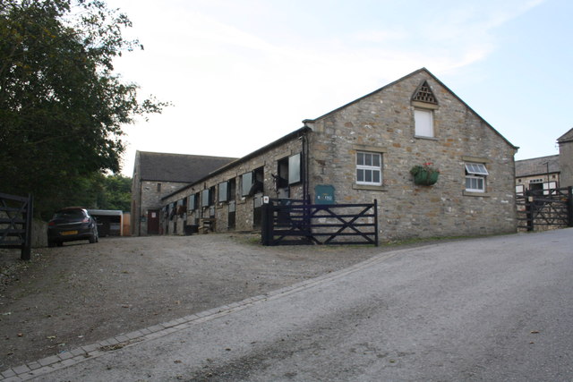
The village is characterized by its traditional stone-built houses and charming narrow lanes, which give it a quaint and idyllic atmosphere. The local community is tight-knit and friendly, with a population of around 100 residents.
Caldbergh is known for its proximity to several notable landmarks and attractions. Just a short distance away is Aysgarth Falls, a stunning series of waterfalls on the River Ure that attracts visitors from far and wide. Additionally, the village is located near the historic Bolton Castle, a magnificent medieval fortress that dates back to the 14th century.
For outdoor enthusiasts, Caldbergh offers fantastic opportunities for hiking, cycling, and exploring the nearby countryside. The village is also close to the Yorkshire Dales' famous Three Peaks, a challenging route that takes in the summits of Pen-y-ghent, Whernside, and Ingleborough.
Although Caldbergh itself is a quiet and peaceful village, it is within easy reach of amenities and services. The nearby town of Leyburn provides a range of shops, restaurants, and leisure facilities, ensuring that residents have access to everything they need.
Overall, Caldbergh is a charming and picturesque village, offering a tranquil and rural lifestyle amidst the stunning natural beauty of the Yorkshire Dales.
If you have any feedback on the listing, please let us know in the comments section below.
Caldbergh Images
Images are sourced within 2km of 54.261168/-1.858715 or Grid Reference SE0985. Thanks to Geograph Open Source API. All images are credited.


Caldbergh is located at Grid Ref: SE0985 (Lat: 54.261168, Lng: -1.858715)
Division: North Riding
Administrative County: North Yorkshire
District: Richmondshire
Police Authority: North Yorkshire
What 3 Words
///paler.dives.really. Near Leyburn, North Yorkshire
Nearby Locations
Related Wikis

Caldbergh
Caldbergh (Caldeber in the Domesday Book) is a hamlet within the Yorkshire Dales, North Yorkshire, England. It lies about four miles south of Leyburn....

Caldbergh with East Scrafton
Caldbergh with East Scrafton is a civil parish in the Richmondshire district of North Yorkshire, England. The parish includes the settlements of Caldbergh...

East Scrafton
East Scrafton is a hamlet in the Yorkshire Dales in the Richmondshire district of North Yorkshire, England. It is about 3 miles (5 km) south-west of Leyburn...

Agglethorpe
Agglethorpe is a hamlet in the Richmondshire district of North Yorkshire, England, it lies in northern Coverdale, approximately 4 miles (6.4 km) south...
Melmerby in Coverdale
Melmerby is a village and civil parish in North Yorkshire, England. It lies in Coverdale in the Yorkshire Dales about 3 miles (4.8 km) south-west of Leyburn...

Forbidden Corner
The Forbidden Corner is a folly garden located in the Tupgill Park Estate, at Coverham in Coverdale, in the Yorkshire Dales National Park, England. It...

Coverham
Coverham is a village in Coverdale in the Yorkshire Dales in North Yorkshire, England. It lies 2 miles (3.2 km) west of the town of Middleham. == History... ==

Coverham with Agglethorpe
Coverham with Agglethorpe is a civil parish in North Yorkshire, England. It includes the villages of Coverham and Agglethorpe. The population of the civil...
Nearby Amenities
Located within 500m of 54.261168,-1.858715Have you been to Caldbergh?
Leave your review of Caldbergh below (or comments, questions and feedback).