Low Wood
Wood, Forest in Yorkshire Richmondshire
England
Low Wood

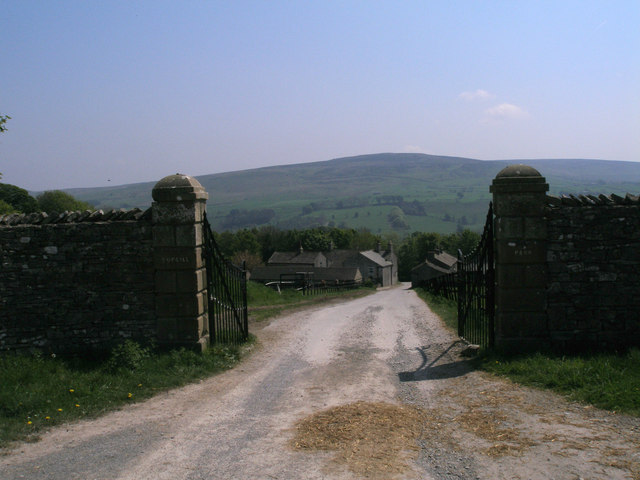
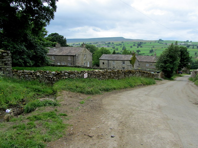
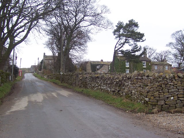
Low Wood is a picturesque village nestled in the heart of Yorkshire, England. Located in the county of Yorkshire, it is renowned for its beautiful woodlands and serene atmosphere. The village is surrounded by a dense forest, which gives it its distinct character and charm.
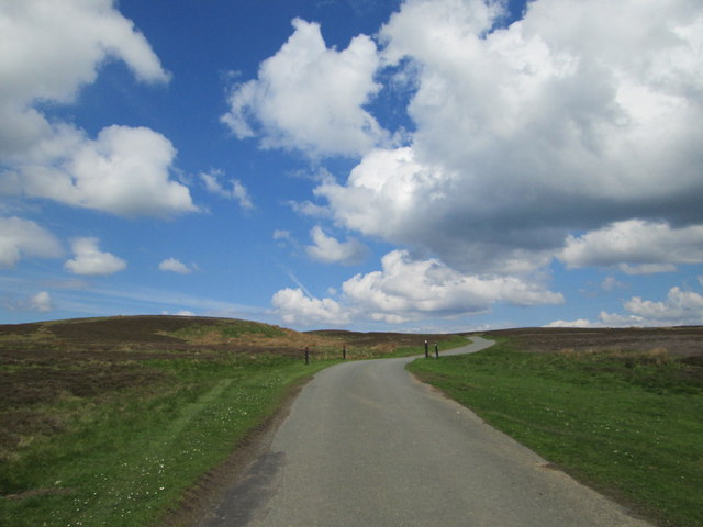
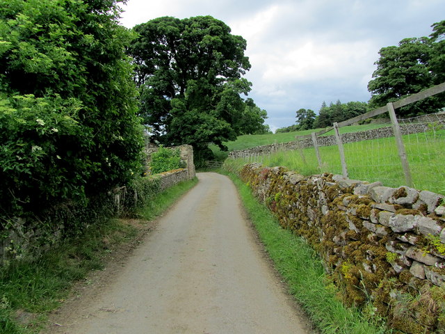
The woodlands that envelop Low Wood are a haven for nature lovers and outdoor enthusiasts. The lush greenery and towering trees create a serene and peaceful environment, making it an ideal destination for those seeking tranquility. The forest is home to a variety of wildlife, including deer, foxes, and a myriad of bird species, making it a paradise for birdwatchers and wildlife photographers.
The village itself exudes a quaint and rustic charm. Its architecture reflects the traditional Yorkshire style, with stone cottages and thatched roofs dotting the landscape. The local community is small but close-knit, with friendly and welcoming residents who take pride in their village.
Low Wood offers a range of activities for visitors to enjoy. Walking and hiking trails crisscross the forest, allowing visitors to explore the natural beauty at their own pace. The village also boasts several picnic areas and camping spots, providing opportunities for relaxation and outdoor recreation.
In addition to its natural attractions, Low Wood is within close proximity to other notable landmarks in Yorkshire. The historic city of York is just a short drive away, offering a wealth of cultural and historical sites to explore.
Overall, Low Wood is a hidden gem in the Yorkshire countryside, offering a tranquil retreat for nature lovers and a gateway to the rich heritage of the surrounding area.
If you have any feedback on the listing, please let us know in the comments section below.
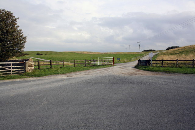
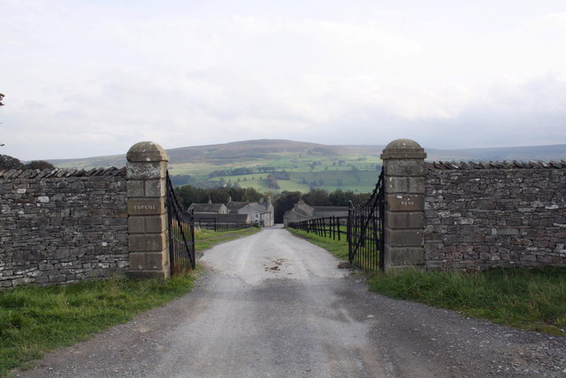
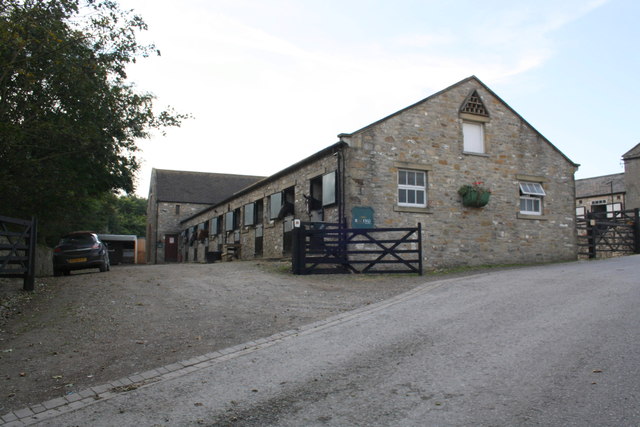
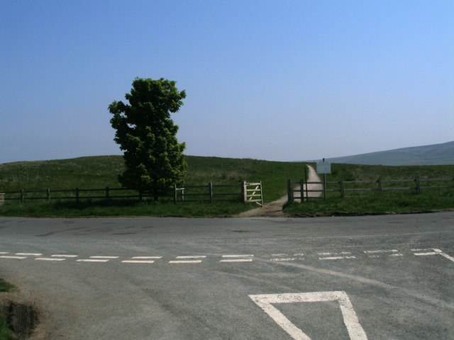
Low Wood Images
Images are sourced within 2km of 54.265019/-1.8611756 or Grid Reference SE0985. Thanks to Geograph Open Source API. All images are credited.


Low Wood is located at Grid Ref: SE0985 (Lat: 54.265019, Lng: -1.8611756)
Division: North Riding
Administrative County: North Yorkshire
District: Richmondshire
Police Authority: North Yorkshire
What 3 Words
///earlobes.sparrows.bookings. Near Leyburn, North Yorkshire
Nearby Locations
Related Wikis

Caldbergh with East Scrafton
Caldbergh with East Scrafton is a civil parish in the Richmondshire district of North Yorkshire, England. The parish includes the settlements of Caldbergh...

Caldbergh
Caldbergh (Caldeber in the Domesday Book) is a hamlet within the Yorkshire Dales, North Yorkshire, England. It lies about four miles south of Leyburn....

East Scrafton
East Scrafton is a hamlet in the Yorkshire Dales in the Richmondshire district of North Yorkshire, England. It is about 3 miles (5 km) south-west of Leyburn...

Agglethorpe
Agglethorpe is a hamlet in the Richmondshire district of North Yorkshire, England, it lies in northern Coverdale, approximately 4 miles (6.4 km) south...

Forbidden Corner
The Forbidden Corner is a folly garden located in the Tupgill Park Estate, at Coverham in Coverdale, in the Yorkshire Dales National Park, England. It...

Coverham with Agglethorpe
Coverham with Agglethorpe is a civil parish in North Yorkshire, England. It includes the villages of Coverham and Agglethorpe. The population of the civil...
Melmerby in Coverdale
Melmerby is a village and civil parish in North Yorkshire, England. It lies in Coverdale in the Yorkshire Dales about 3 miles (4.8 km) south-west of Leyburn...

Holy Trinity Church, Coverham
Holy Trinity Church is a redundant Anglican church in the village of Coverham, North Yorkshire, England. It is recorded in the National Heritage List...
Nearby Amenities
Located within 500m of 54.265019,-1.8611756Have you been to Low Wood?
Leave your review of Low Wood below (or comments, questions and feedback).