Black Wood

Wood, Forest in Denbighshire

Wales

Black Wood

Marchwiel Hall Lodge Marchwiel Hall Lodge.
Marchwiel Hall Lodge Credit: Jeff Buck

The requested URL returned error: 429 Too Many Requests

If you have any feedback on the listing, please let us know in the comments section below.
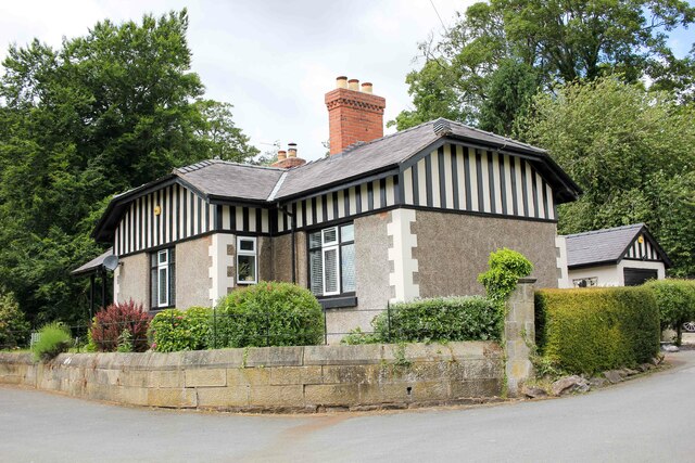
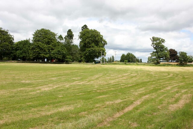
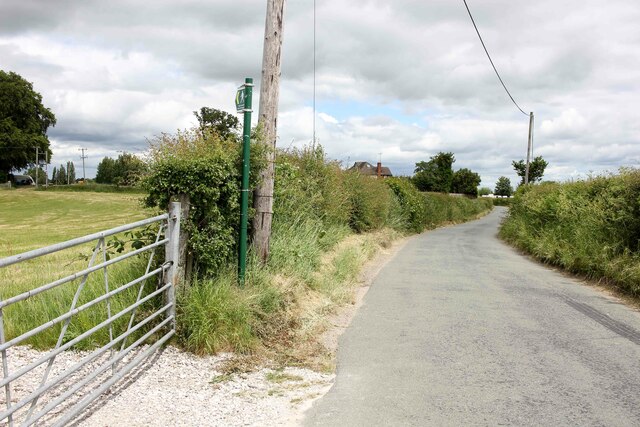
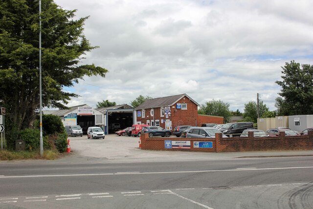
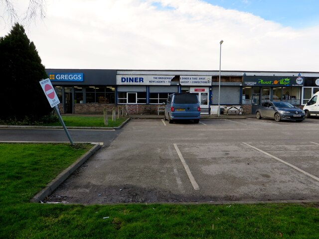
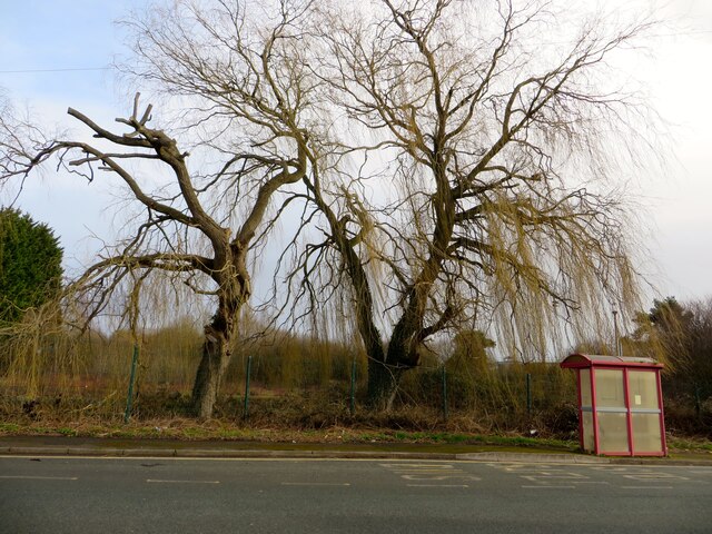
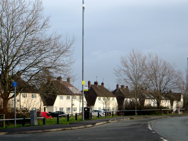
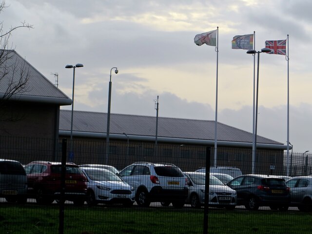
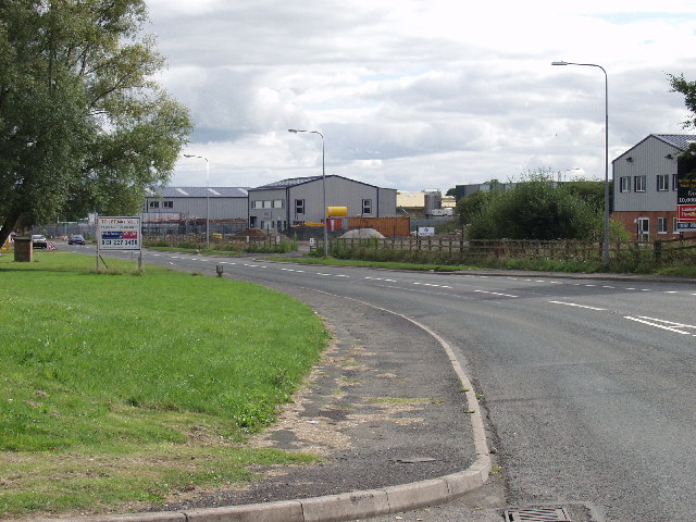
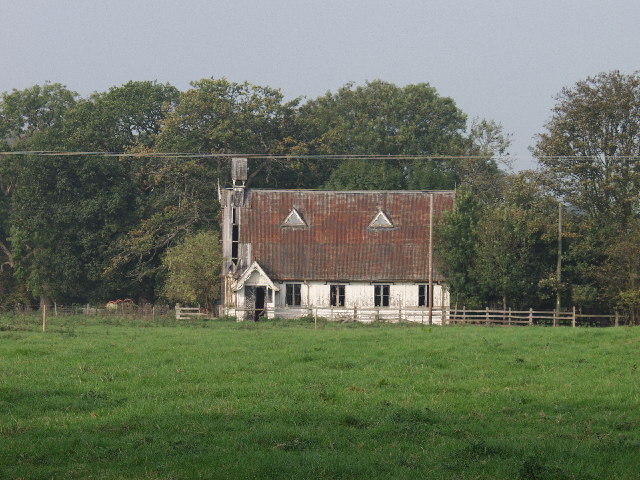
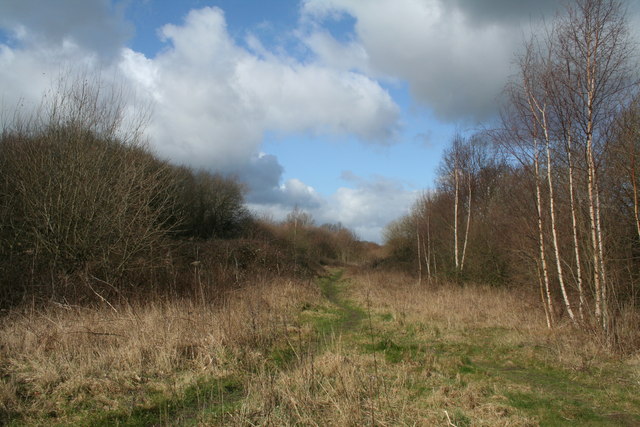
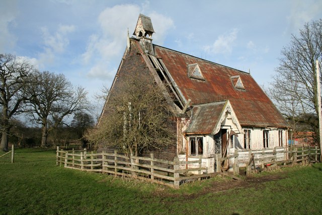
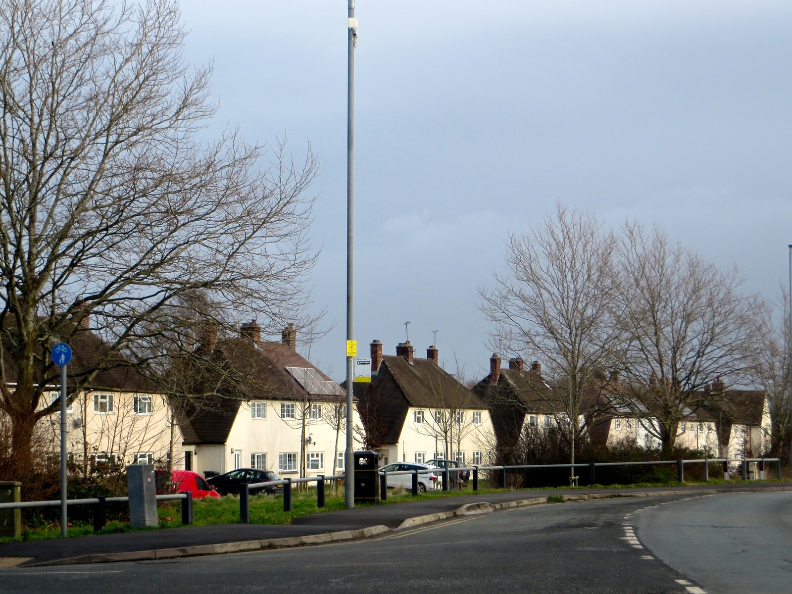
Black Wood Images

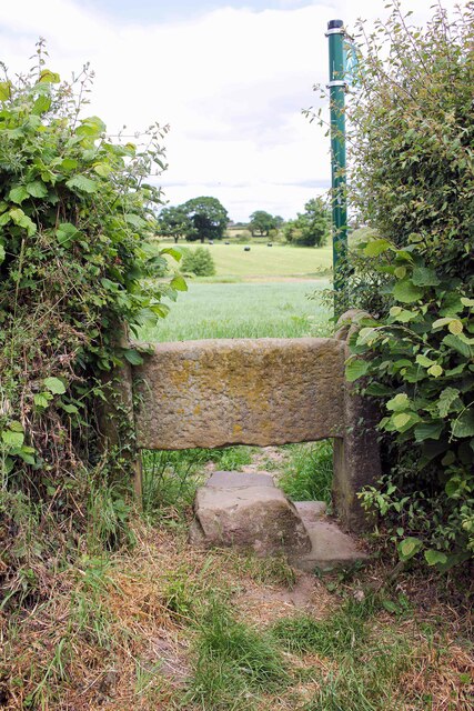
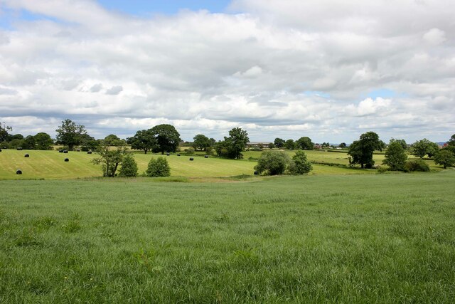
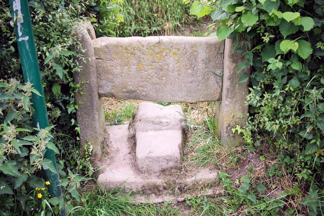
Images are sourced within 2km of 53.030354/-2.9521777 or Grid Reference SJ3648. Thanks to Geograph Open Source API. All images are credited.

Marchwiel Hall Lodge Marchwiel Hall Lodge.
Marchwiel Hall Lodge
Marchwiel Hall Lodge.
Footpath across Bryn-y-Grog Farm A public footpath heading across Bryn-y-Grog Farm connecting Marchwiel Hall Lane and the A525.
Footpath across Bryn-y-Grog Farm
A public footpath heading across Bryn-y-Grog Farm connecting Marchwiel Hall Lane and the A525.
Marchwiel Hall Lane near Bryn-y-Grog Farm Marchwiel Hall Lane near Bryn-y-Grog Farm as it heads northeast towards the A525 near Marchwiel.
Marchwiel Hall Lane near Bryn-y-Grog Farm
Marchwiel Hall Lane near Bryn-y-Grog Farm as it heads northeast towards the A525 near Marchwiel.
L&D Brothers, Marchwiel L&D Brothers Garage next to the A525 on the outskirts of Marchwiel.
L&D Brothers, Marchwiel
L&D Brothers Garage next to the A525 on the outskirts of Marchwiel.
The A525 at Marchwiel The A525 at the junction with Marchwiel Hall Lane.
The A525 at Marchwiel
The A525 at the junction with Marchwiel Hall Lane.
Stile off Woodhouse Lane An old stone stile off Stonehouse Lane near Old Hall Farm.
Stile off Woodhouse Lane
An old stone stile off Stonehouse Lane near Old Hall Farm.
Towards Marchwiel A public footpath across the fields heading towards Marchwiel.
Towards Marchwiel
A public footpath across the fields heading towards Marchwiel.
Stile off Woodhouse Lane An old stone stile off Stonehouse Lane near Old Hall Farm.
Stile off Woodhouse Lane
An old stone stile off Stonehouse Lane near Old Hall Farm.
Shop parade on the Wrexham Industrial Estate
Safle Bws / Bus Stop On the Wrexham Industrial Estate.
Safle Bws / Bus Stop
On the Wrexham Industrial Estate.
Housing at Pentre Maelor A spacious estate, built around a huge green between 1948 - 52 for workers at the Firestone factory.
Housing at Pentre Maelor
A spacious estate, built around a huge green between 1948 - 52 for workers at the Firestone factory.
HMP Berwyn A windy day, as can be seen by the flags flying at HMP Berwyn.
HMP Berwyn
A windy day, as can be seen by the flags flying at HMP Berwyn.
Llwyn-onn Hall Hotel, Wrexham
Wrecsam Industrial Estate A smaller set of developing units on Clwydedog Road South.
Wrecsam Industrial Estate
A smaller set of developing units on Clwydedog Road South.
Contaminated and derelict land Wrecsam Industrial Estate The area was previously used for armaments manufacture and is believed to be contaminated. It is about to be redeveloped.
Contaminated and derelict land Wrecsam Industrial Estate
The area was previously used for armaments manufacture and is believed to be contaminated. It is about to be redeveloped.
Derelict land on Wrecsam Industrial Estate Previously used land now awaiting development.
Derelict land on Wrecsam Industrial Estate
Previously used land now awaiting development.
The Kings Mill Wrecsam A watermill on the Afon Clywedog on the outskirts of Wrecsam.
The Kings Mill Wrecsam
A watermill on the Afon Clywedog on the outskirts of Wrecsam.
A redundant and sadly neglected "Tin Chapel" A sad sight, what was a very superior "Tin Chapel" is no longer used and the elements are doing their worst. See SJ2750 for a chapel still in use.
A redundant and sadly neglected "Tin Chapel"
A sad sight, what was a very superior "Tin Chapel" is no longer used and the elements are doing their worst. See SJ2750 for a chapel still in use.
Show me another place!

Black Wood is located at Grid Ref: SJ3648 (Lat: 53.030354, Lng: -2.9521777)

Unitary Authority: Wrexham

Police Authority: North Wales

What 3 Words

///bounded.yourself.breakaway. Near Marchwiel, Wrexham

Related Wikis

Marchwiel railway station

Marchwiel railway station was a station in Marchwiel, Wrexham, Wales. The station was opened on 2 November 1895 and closed on 10 September 1962. ��2�...

Marchwiel

Marchwiel (Welsh: Marchwiail; standardised: Marchwiel) is a village and community in Wrexham County Borough, Wales. It is about 2 miles south-east of Wrexham...

Abenbury

Abenbury is a community in Wrexham County Borough, Wales. It is situated south-east of Wrexham city and includes the village of Pentre Maelor and part...

Pentre Maelor

Pentre Maelor is a housing estate near Wrexham Industrial Estate in Wrexham County Borough, Wales. In the 2011 census, its built-up area had a population...

Nearby Amenities

Located within 500m of 53.030354,-2.9521777
Power: pole
Lat/Long: 53.0290553/-2.946559
Power: pole
Lat/Long: 53.0291321/-2.9482003
Power: pole
Lat/Long: 53.0292273/-2.9498505
Power: pole
Lat/Long: 53.029447/-2.9517954
Power: pole
Lat/Long: 53.0292497/-2.9481566
Power: pole
Lat/Long: 53.0295999/-2.952944
Power: pole
Lat/Long: 53.0297334/-2.9540667
Power: pole
Lat/Long: 53.0301262/-2.9560561
Power: pole
Lat/Long: 53.0303547/-2.9570678
Power: pole
Lat/Long: 53.030673/-2.9584552
Power: pole
Lat/Long: 53.0293354/-2.9497806
Power: pole
Lat/Long: 53.029718/-2.9526921
Power: pole
Lat/Long: 53.029872/-2.9540795
Power: pole
Lat/Long: 53.0301801/-2.9554798
Power: pole
Lat/Long: 53.0304368/-2.9566452
Power: pole
Lat/Long: 53.0307218/-2.9578875
Power: pole
Lat/Long: 53.029201/-2.9468509
The data included in this document is from www.openstreetmap.org. The data is made available under ODbL.

Have you been to Black Wood?

Leave your review of Black Wood below (or comments, questions and feedback).