The Five Fords Farm
Heritage Site in Denbighshire
Wales
The Five Fords Farm
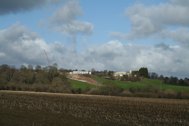
The Five Fords Farm is a historic heritage site located in Denbighshire, Wales. Situated on the outskirts of the village of Llansannan, this farm has a rich history dating back several centuries. The name "Five Fords" is derived from the five river crossings that were once essential for transportation in the area.
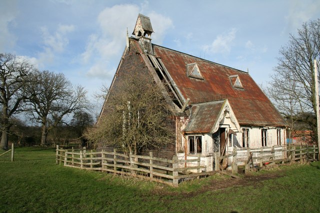
The farm itself is a fine example of a traditional Welsh farmhouse, showcasing the architectural style and construction techniques of the region. Its stone walls and slate roof reflect the local building materials commonly used during the time of its construction. The interior of the farmhouse has been preserved to reflect its original charm, with period furnishings and decor that transport visitors back in time.
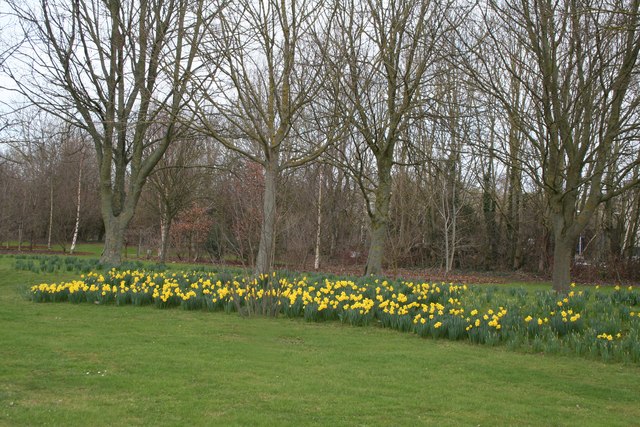
Surrounding the farmhouse are beautiful and well-maintained gardens, offering visitors a picturesque setting to explore and enjoy. The gardens are a testament to the hard work and dedication of the farm's owners, who have carefully cultivated a variety of native plants and flowers.
In addition to the farmhouse and gardens, the Five Fords Farm also features a range of outbuildings that were once used for various agricultural purposes. These include a barn, stables, and a dairy, all of which have been meticulously restored to their original condition. These structures provide visitors with a glimpse into the daily life and work of a traditional Welsh farm.
Overall, the Five Fords Farm is a captivating heritage site that offers visitors a unique opportunity to experience the history and culture of Denbighshire. With its well-preserved farmhouse, stunning gardens, and array of outbuildings, this site is a must-visit for those interested in Welsh history and architecture.
If you have any feedback on the listing, please let us know in the comments section below.
The Five Fords Farm Images
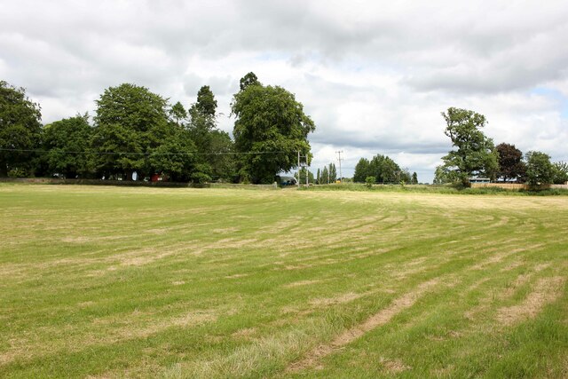
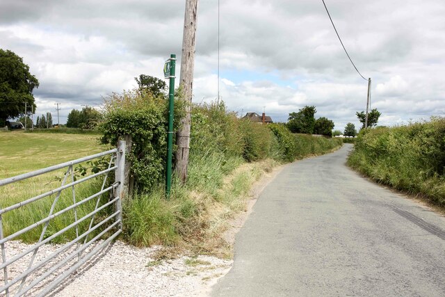
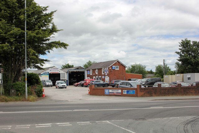
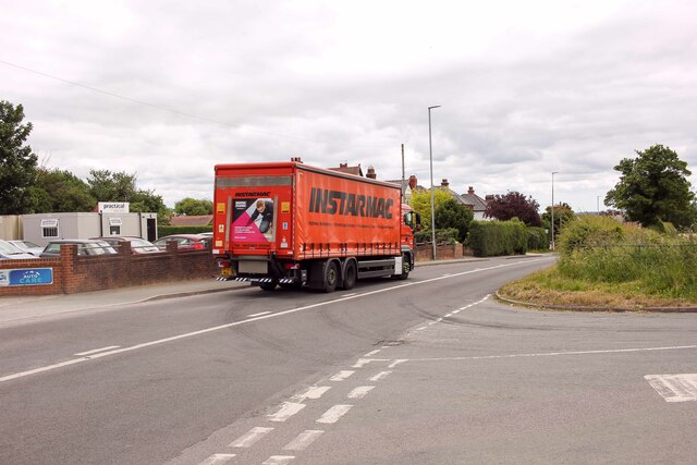
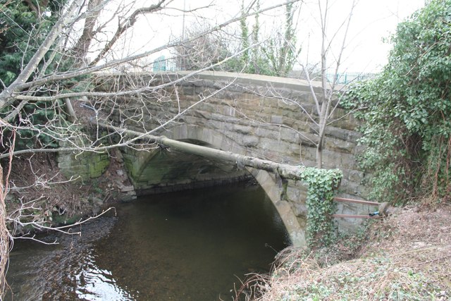
Images are sourced within 2km of 53.03/-2.947 or Grid Reference SJ3648. Thanks to Geograph Open Source API. All images are credited.

The Five Fords Farm is located at Grid Ref: SJ3648 (Lat: 53.03, Lng: -2.947)
Unitary Authority: Wrexham
Police Authority: North Wales
What 3 Words
///sketch.purest.movements. Near Marchwiel, Wrexham
Nearby Locations
Related Wikis
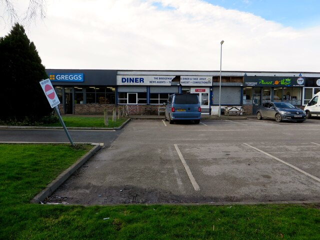
Abenbury
Abenbury is a community in Wrexham County Borough, Wales. It is situated south-east of Wrexham city and includes the village of Pentre Maelor and part...
Marchwiel railway station
Marchwiel railway station was a station in Marchwiel, Wrexham, Wales. The station was opened on 2 November 1895 and closed on 10 September 1962. ��2�...
Pentre Maelor
Pentre Maelor is a housing estate near Wrexham Industrial Estate in Wrexham County Borough, Wales. In the 2011 census, its built-up area had a population...

Marchwiel
Marchwiel (Welsh: Marchwiail; standardised: Marchwiel) is a village and community in Wrexham County Borough, Wales. It is about 2 miles south-east of Wrexham...

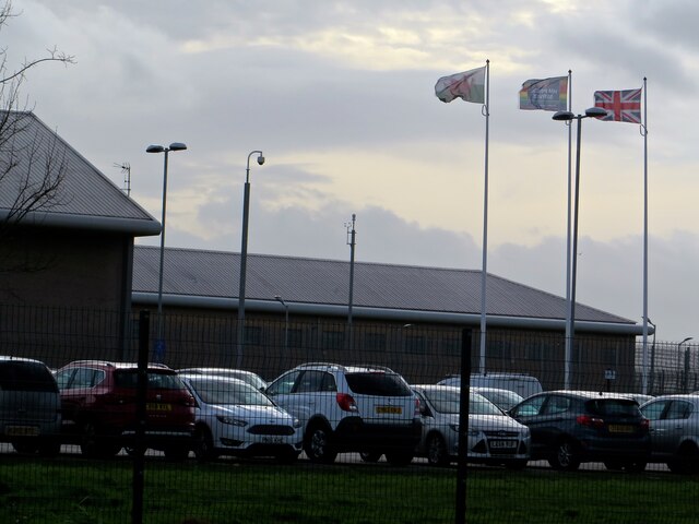
HM Prison Berwyn
HM Prison Berwyn (Welsh: Carchar Berwyn EF; Welsh: ['bɛrwɪn]) is a £250 million Category C adult male prison in Wrexham County Borough, Wales. It is the...
Marchwiel power station
Marchwiel power station was an electricity generating plant providing a central source of electric current for the Marchwiel Trading Estate near Wrexham...

A525 road
The A525 is a major route from Rhyl in Wales to Newcastle-under-Lyme in England. The route passes near Denbigh, through Ruthin, through Wrexham and near...
Sesswick Halt railway station
Sesswick Halt railway station was a station in Sesswick, Wrexham, Wales. The station was opened on 1 October 1913 and closed on 10 September 1962. ��2...
Nearby Amenities
Located within 500m of 53.03,-2.947Have you been to The Five Fords Farm?
Leave your review of The Five Fords Farm below (or comments, questions and feedback).