Caer Wood

Wood, Forest in Monmouthshire

Wales

Caer Wood

View towards Skirrid Fawr Stud Farm lies behind the line of trees (poplars?)
View towards Skirrid Fawr Credit: M J Roscoe

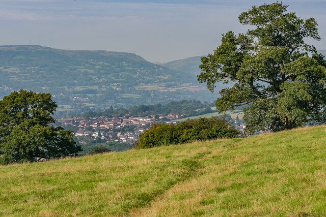
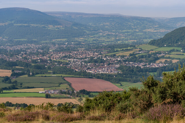
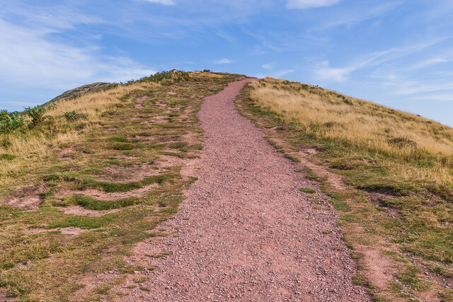
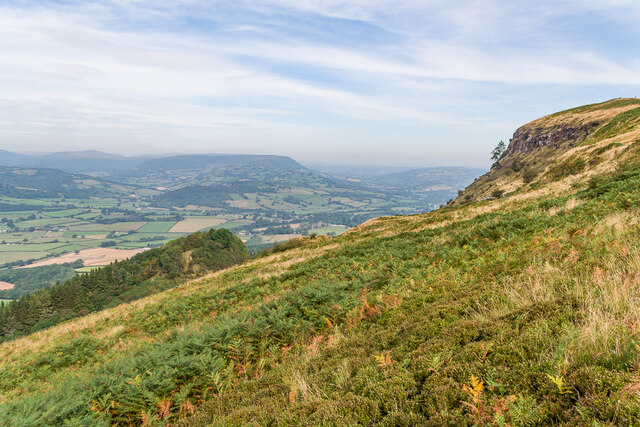
Caer Wood is a beautiful forest located in Monmouthshire, Wales. Covering an area of approximately 50 hectares, this ancient woodland is known for its diverse range of flora and fauna. The wood is a mix of broadleaf and coniferous trees, including oak, beech, and pine, creating a rich and varied habitat for wildlife.

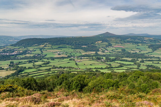
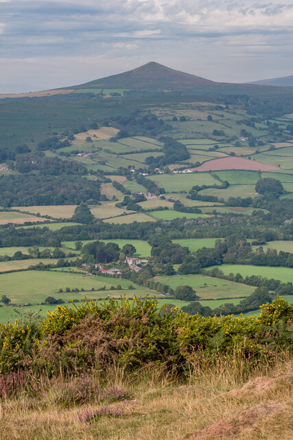
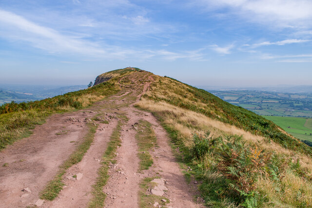
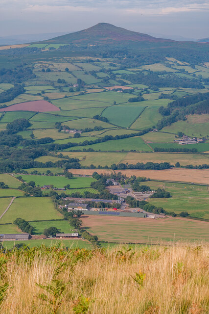
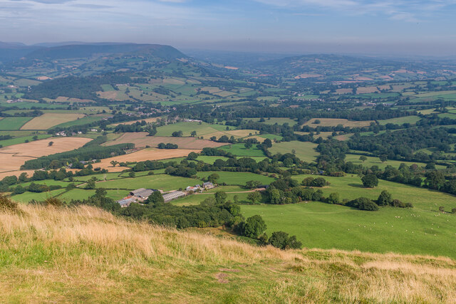
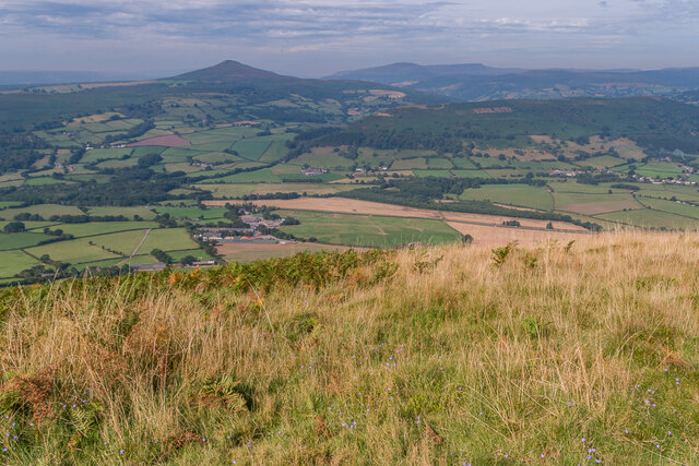
Visitors to Caer Wood can enjoy a network of walking trails that wind through the forest, offering stunning views of the surrounding countryside. The wood is also home to a variety of bird species, making it a popular spot for birdwatching enthusiasts. In addition, the forest is a designated Site of Special Scientific Interest (SSSI), recognizing its importance for biodiversity and conservation.

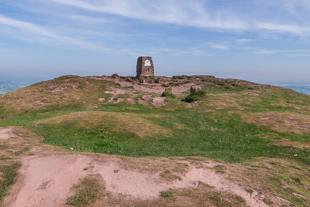
Caer Wood holds historical significance as well, with archaeological remains dating back to the Iron Age. The remains of a hillfort can still be seen within the forest, adding to its appeal for history buffs and those interested in ancient civilizations.

Overall, Caer Wood is a peaceful and picturesque destination for nature lovers, hikers, and those seeking a tranquil escape in the heart of Monmouthshire.

If you have any feedback on the listing, please let us know in the comments section below.

Caer Wood Images

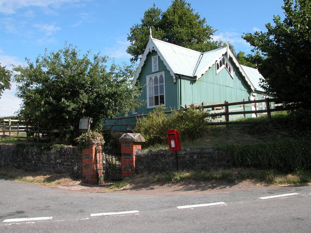
Images are sourced within 2km of 51.845213/-2.9760984 or Grid Reference SO3216. Thanks to Geograph Open Source API. All images are credited.

View towards Skirrid Fawr Stud Farm lies behind the line of trees (poplars?)
View towards Skirrid Fawr
Stud Farm lies behind the line of trees (poplars?)
Fields near Llantilio Pertholey
Towards Abergavenny Looking towards Abergavenny from the base of The Skirrid.
Towards Abergavenny
Looking towards Abergavenny from the base of The Skirrid.
Towards Abergavenny Looking towards Abergavenny from the southern end of the summit ridge of The Skirrid.
Towards Abergavenny
Looking towards Abergavenny from the southern end of the summit ridge of The Skirrid.
Towards Sugar Loaf Looking towards Sugar Loaf from the southern end of the summit ridge of The Skirrid.
Towards Sugar Loaf
Looking towards Sugar Loaf from the southern end of the summit ridge of The Skirrid.
Towards Sugar Loaf Looking towards Sugar Loaf from the southern end of the summit ridge of The Skirrid.
Towards Sugar Loaf
Looking towards Sugar Loaf from the southern end of the summit ridge of The Skirrid.
Path on The Skirrid Path along the summit ridge of The Skirrid.
Path on The Skirrid
Path along the summit ridge of The Skirrid.
Path on The Skirrid Path along the summit ridge of The Skirrid, with the summit in the background.
Path on The Skirrid
Path along the summit ridge of The Skirrid, with the summit in the background.
The Skirrid The trig point on the summit of The Skirrid.
The Skirrid
The trig point on the summit of The Skirrid.
The Skirrid The trig point on the summit of The Skirrid, with Sugar Loaf in the background.
The Skirrid
The trig point on the summit of The Skirrid, with Sugar Loaf in the background.
The Skirrid The trig point on the summit of The Skirrid.
The Skirrid
The trig point on the summit of The Skirrid.
Towards Sugar Loaf Looking towards Sugar Loaf from the summit of The Skirrid.
Towards Sugar Loaf
Looking towards Sugar Loaf from the summit of The Skirrid.
North from The Skirrid Looking north from the summit of The Skirrid.
North from The Skirrid
Looking north from the summit of The Skirrid.
West from The Skirrid Looking west from the summit of The Skirrid, with Sugar Loaf in the left background and Bryn Arw nearer on the right.
West from The Skirrid
Looking west from the summit of The Skirrid, with Sugar Loaf in the left background and Bryn Arw nearer on the right.
The Skirrid The western slopes of The Skirrid, with the distinctive subpeak arising from an ice-age landslip seen on the left.
The Skirrid
The western slopes of The Skirrid, with the distinctive subpeak arising from an ice-age landslip seen on the left.
New Court Farm Farm house and outbuilding at New Court Farm, the latter now housing a craft  cooperative.
New Court Farm
Farm house and outbuilding at New Court Farm, the latter now housing a craft cooperative.
The top of The Skirrid
Looking along the length of The Skirrid
Show me another place!

Caer Wood is located at Grid Ref: SO3216 (Lat: 51.845213, Lng: -2.9760984)

Unitary Authority: Monmouthshire

Police Authority: Gwent

What 3 Words

///lifetimes.fewest.blend. Near Abergavenny, Monmouthshire

Related Wikis

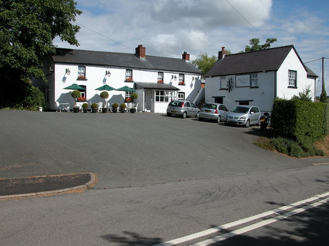
The Walnut Tree (restaurant)

The Walnut Tree is a restaurant in Llanddewi Skirrid, Monmouthshire, Wales. It is run by chef Shaun Hill and holds a Michelin star. It was previously owned...

Llanddewi Skirrid

Llanddewi Skirrid (Welsh: Llanddewi Ysgyryd) is a village in Monmouthshire, south east Wales, United Kingdom. == Location == Llanddewi Skirrid is located...

St David's Church, Llanddewi Skirrid

The Church of St David stands in the parish of Llanddewi Skirrid, Monmouthshire, Wales. The church was Grade II listed in 1956 as an example of John Prichard...
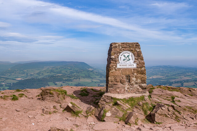
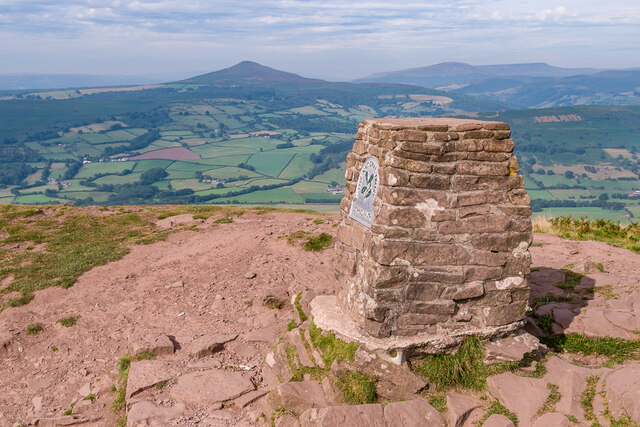
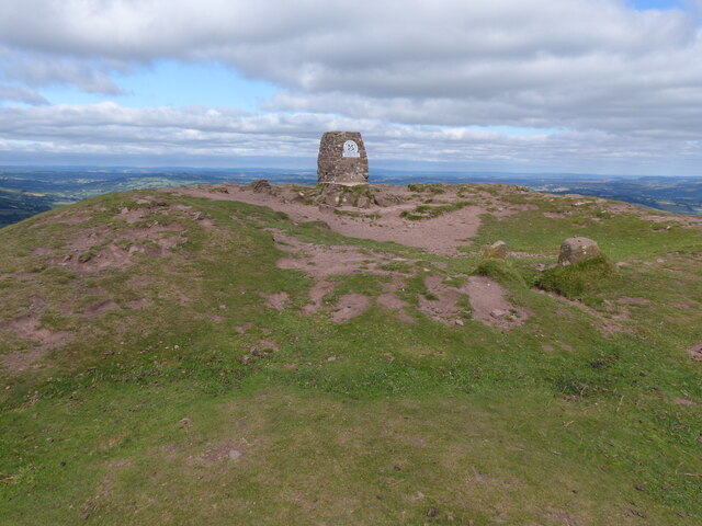
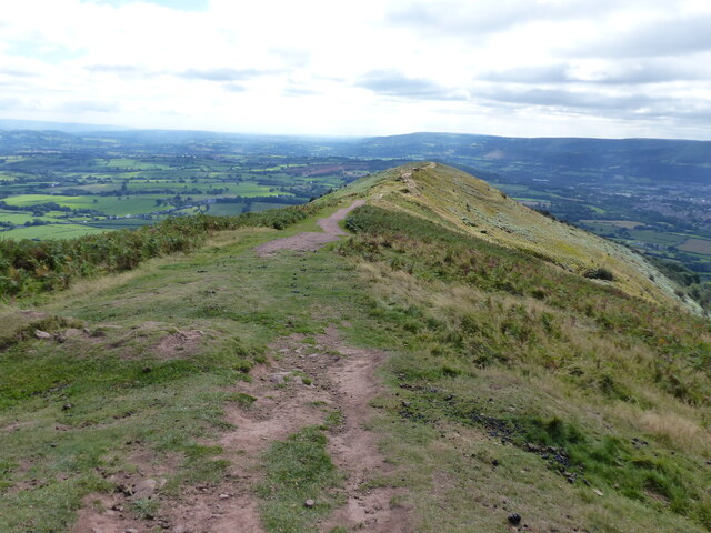
Skirrid Fawr

Skirrid Fawr (Welsh: Ysgyryd Fawr , Welsh pronunciation: [ɐsˈɡɐɾɪd ˈvæuɾ]), often referred to as just the Skirrid, is an easterly outlier of the Black...

Related Videos

Nearby Amenities

Located within 500m of 51.845213,-2.9760984
Barrier: stile
Foot: yes
Lat/Long: 51.8439823/-2.9781306
Caer Wood
Natural: wood
Lat/Long: 51.8451602/-2.9767146
The data included in this document is from www.openstreetmap.org. The data is made available under ODbL.

Have you been to Caer Wood?

Leave your review of Caer Wood below (or comments, questions and feedback).