Fishpond Wood
Wood, Forest in Denbighshire
Wales
Fishpond Wood
Fishpond Wood is a picturesque woodland located in Denbighshire, a county in north-east Wales. This enchanting forest covers an area of approximately 50 acres and is nestled within the rolling countryside, offering visitors a tranquil and serene natural retreat.
The wood gets its name from the presence of a small pond that is home to a variety of fish species, including trout and perch. This pond adds to the beauty and diversity of the woodland ecosystem. The wood is predominantly composed of deciduous trees such as oak, beech, and birch, which adorn the landscape with their vibrant foliage during the autumn months.
Fishpond Wood is a haven for wildlife enthusiasts and nature lovers, as it provides a habitat for numerous species of birds, mammals, and insects. Visitors may spot woodland birds like woodpeckers, owls, and warblers, while lucky observers may catch a glimpse of red squirrels darting through the trees. The forest floor is carpeted with wildflowers, ferns, and mosses, creating a rich tapestry of colors and textures.
The wood features several well-maintained walking trails, allowing visitors to explore its beauty at their own pace. These trails wind through the woodland, offering glimpses of the pond, hidden clearings, and ancient trees. The peaceful atmosphere and the melodic sounds of nature make Fishpond Wood a perfect destination for a leisurely stroll, birdwatching, or simply immersing oneself in the natural surroundings.
Fishpond Wood is a cherished natural gem in Denbighshire, inviting visitors to reconnect with nature and experience the tranquility of this beautiful woodland.
If you have any feedback on the listing, please let us know in the comments section below.
Fishpond Wood Images
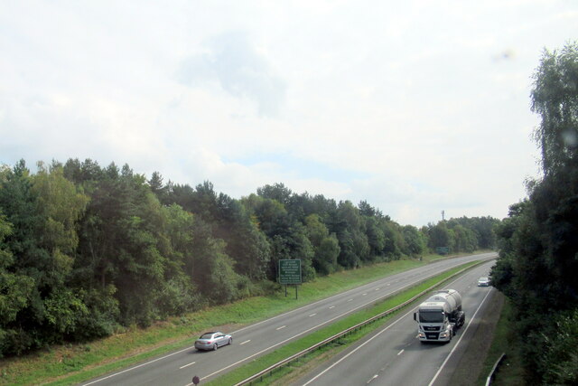
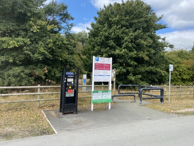
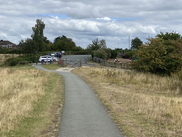
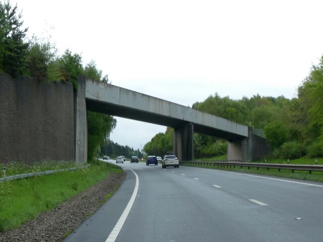
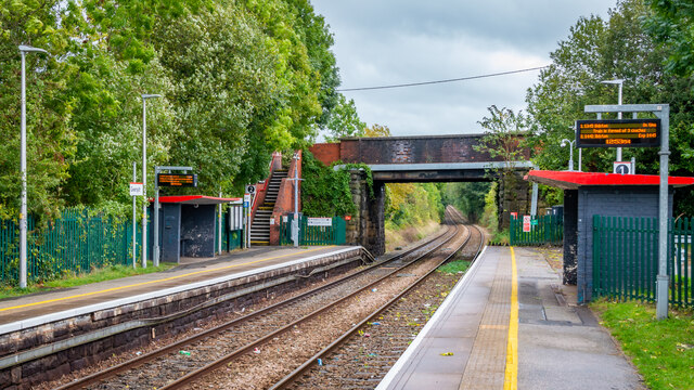
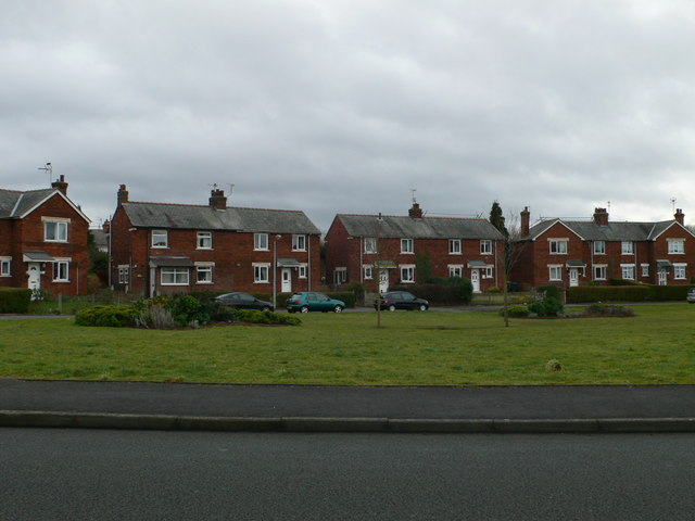
Images are sourced within 2km of 53.074085/-3.0071019 or Grid Reference SJ3253. Thanks to Geograph Open Source API. All images are credited.


Fishpond Wood is located at Grid Ref: SJ3253 (Lat: 53.074085, Lng: -3.0071019)
Unitary Authority: Wrexham
Police Authority: North Wales
What 3 Words
///calculating.spends.riots. Near Gresford, Wrexham
Nearby Locations
Related Wikis
Bradley, Wrexham
Bradley (Welsh: Bradle) is a village in Wrexham County Borough, Wales. Situated in the community of Gwersyllt, it is bounded by Alyn Waters Country Park...

Rhosrobin
Rhosrobin is a village situated in Wrexham County Borough, Wales, about 2 miles (3.2 km) north west of Wrexham city centre, close to the A483 road. The...
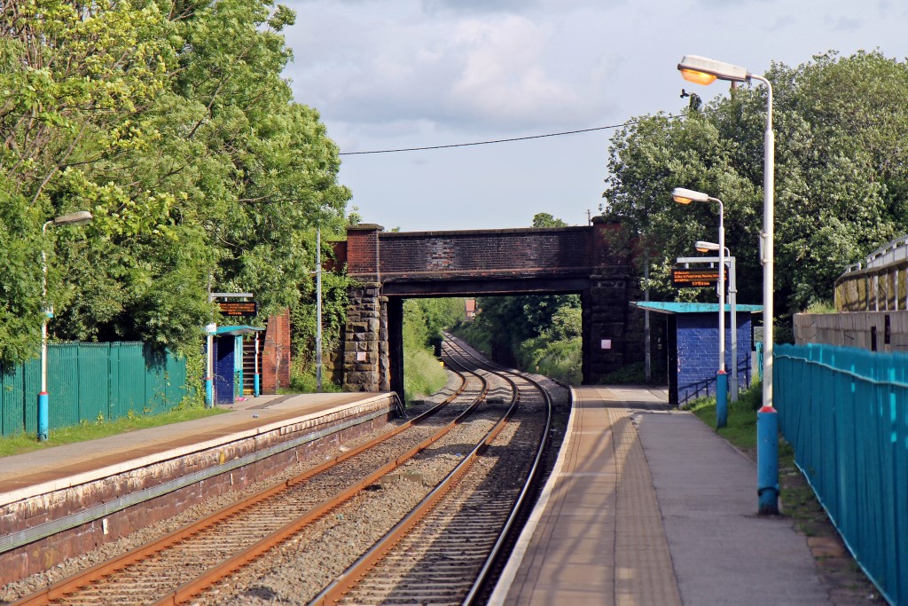
Gwersyllt railway station
Gwersyllt railway station serves the area of Gwersyllt in the city of Wrexham in North Wales. It is one of five stations in the Wrexham County Borough...

Rhosrobin Halt railway station
Rhosrobin Halt was a minor railway station located on the Great Western Railway's Paddington to Birkenhead line a few miles north of Wrexham in Wales....
Nearby Amenities
Located within 500m of 53.074085,-3.0071019Have you been to Fishpond Wood?
Leave your review of Fishpond Wood below (or comments, questions and feedback).